Schirmer, FritzAntiquariat.de

13 746 résultats
1912réf. ATL2882Wien, Seidel, 1912. 27 (doppelbl. gr.) Tafeln, H 26 x 19 cm, OLeinen. - Einband minimale Gebrauchsspuren, sonst sehr guter Zustand. fest gebunden/ hardcover
réf. DADAX0805494456New unknown
1980réf. 94860United Kingdom: Atlas Editions. Fine. 1980. First Edition. Hardcover. Pictorial aviation trading cards brand new in original pictorial cardboard box. First edition. Set is in fine As New condition. Forty-two shrink-wrapped sets of cards featuring war planes from the United States Canada Europe Israel and the Soviet Union. Each card has full-color photographs as well as detailed technical specs. The reverse side of each card tells the historical context within which each plane was used. All housed in a pictorial collector's box. Heavy--close to eight pounds; will require additional postage if shipped priority or outside the U. S. . Atlas Editions hardcover
réf. DADAX0262014459New unknown
réf. SONG0870236970Used: Good unknown
réf. 481507AA Publishing. Hardcover. Good. Well maintained. All pages are present but have marks creasing and other signs of wear. The Twin Atlas Set is a vintage hardcover book containing a road atlas of Britain and a book of town plans. Published by AA Publishing this first edition non-fiction book is illustrated and features maps making it a valuable resource for travellers adventurers and those interested in transportation. With a focus on road maps and town plans this set is a must-have for anyone looking to explore Britain and its surrounding areas. Copyright © AA Publishing AA Publishing hardcover
réf. DADAX1931933723New unknown
réf. 0007141025.Gpaperback. Good. Access codes and supplements are not guaranteed with used items. May be an ex-library book. paperback
réf. 3656438153.Gpaperback. Good. Access codes and supplements are not guaranteed with used items. May be an ex-library book. paperback
réf. SONG0520274032Used: Good unknown
réf. 1257779826.Ghardcover. Good. Access codes and supplements are not guaranteed with used items. May be an ex-library book. hardcover
réf. SONG0913450979Used: Good unknown
réf. SONG1573402532Used: Good unknown
réf. SONG396298318XUsed: Good unknown
réf. A9781138555488Paperback / softback. New. paperback
réf. 23976831-nnew. unknown
réf. SONG1932714723Used: Good unknown
réf. DADAX3131319623New unknown
réf. SONG0415034639Used: Good unknown
1870réf. 310964Paris, Librairie Hachette ohne Jahr (ca. 1870). 3 Bll., 37 farbige Karten. Lex 8°. Späterer Halbleineneinband unter Verwendung der Originaldeckel, Bibliotheksexemplar mit Rückenschild und Signaturen / Stempeln (entwidmet), Einband sehr stark fleckig, berieben und beschabt, Ecken und Kanten bestoßen, Innengelenke angebrochen, Vorsatz hinterlegt, Papier teils gebräunt, teils stark fleckig / finger-/braunfleckig, insgesamt innen noch ordentlich erhalten.
2002réf. 78419Nachdruck, Bayrisches Landesvermessungsland, München, 2002. Original-Leinenband ohne Kartenbeilage mit Begleitbroschur, Quer gr.4°, ca.120 Seiten
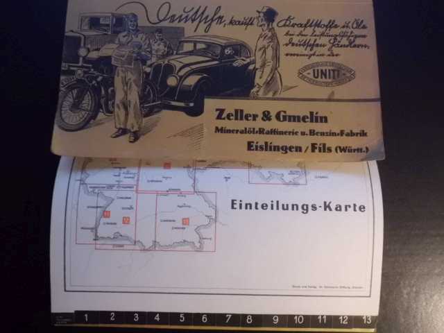
1935réf. 308523ABDresden, Dr. Güntzsche Stiftung, (1935). 29,5 x 27 cm. 13 (je 1 x gef.) Karten mit verso 26 Durchfahrts-Stadtplänen
2017réf. 221288New York: Pantheon Books 2017. First Edition; First Printing. Hardcover. Near Fine in a Near Fine dust jacket.; 400 pages. Pantheon Books hardcover
réf. DADAX2067112473New unknown
1873réf. 8949New York: Beers 1873. Original Hand-colored Map of Part of Flushing with Flushing Creek from Beers' Atlas of Long Island three section folding 15 1/2" x 32 " approximate size; somewhat age-toned; very good condition. Very Good. Illus. by Beers. Beers unknown