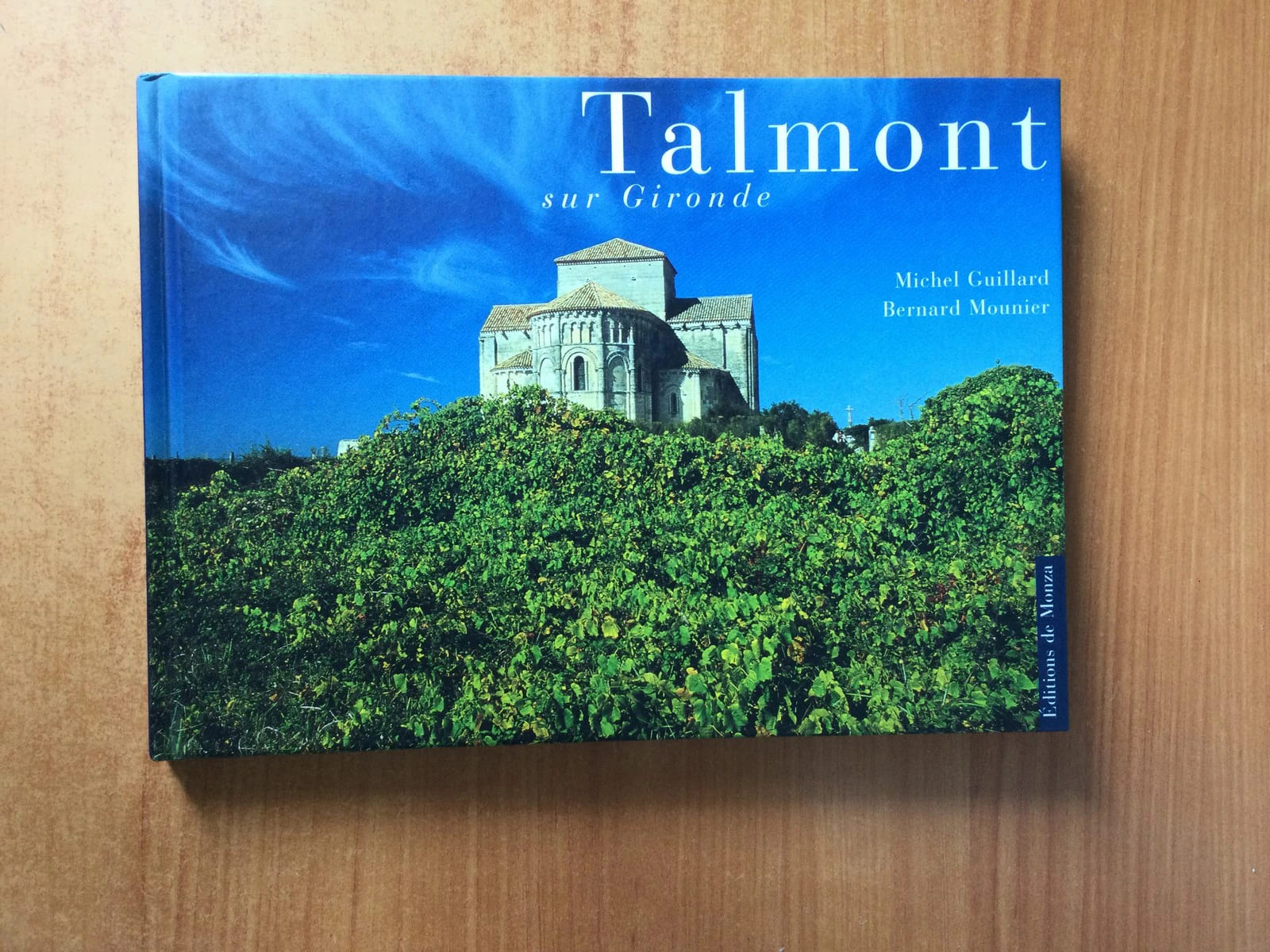
Michel GUILLARD et Bernard MOUNIERLivre Rare Book
6298 resultados
ref. 72808Editions de Monza 1999 livre photographies 18*24,5 sp pages
1984234 pages. For many millenia before their first known contact with the white man in 1905, the Nez Perce or Sahaptin peoples roamed over an extensive region of the inland Pacific Northwest. Their approximate territory included a vast portion of Northern Idaho, and portions of Eastern Oregon and Washington. Represents an overview of some of the essential dimensions of their tribal culture and history. Black and white illustrations. Extensively referenced. Clean and unmarked. Light wear. Bright gilt lettering and decoration upon dark maroon boards and spine. Very nice copy. Book
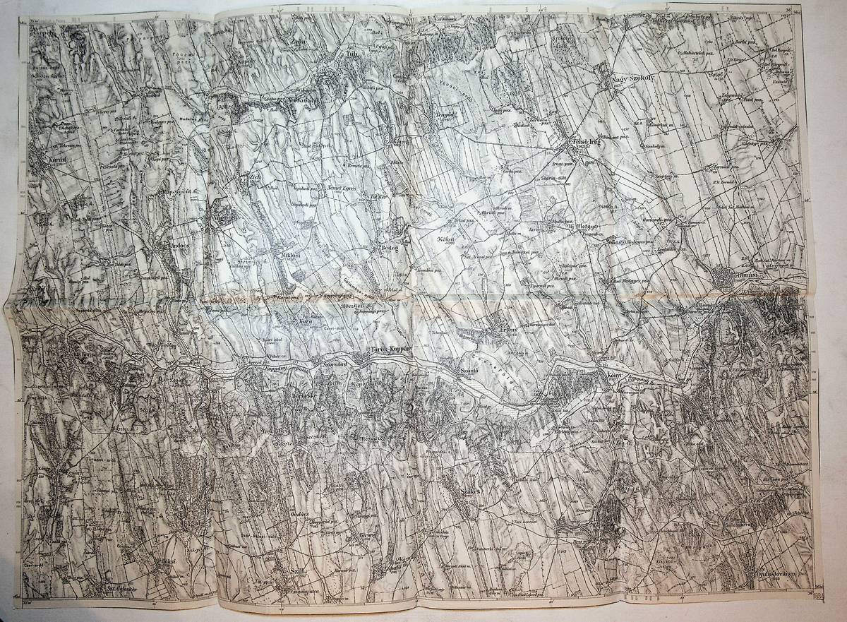
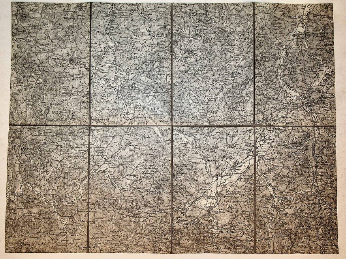
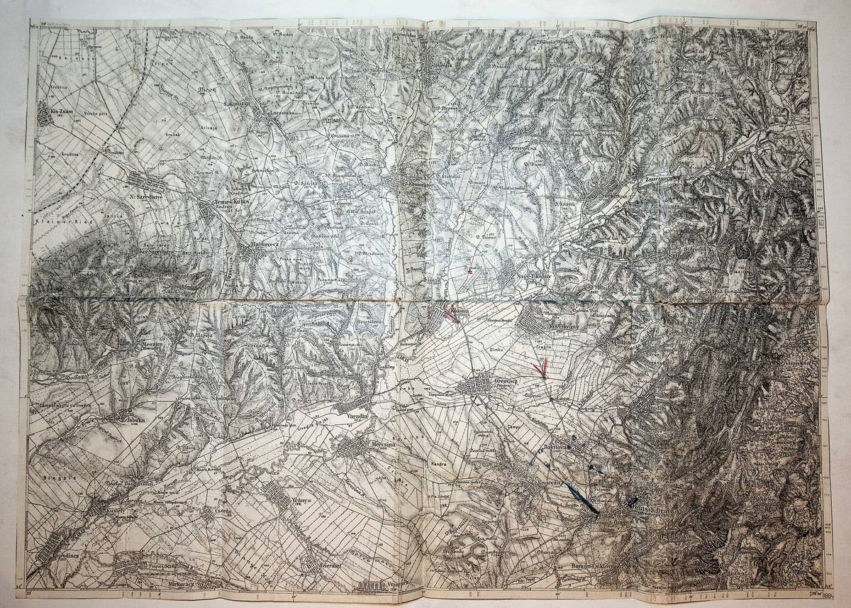
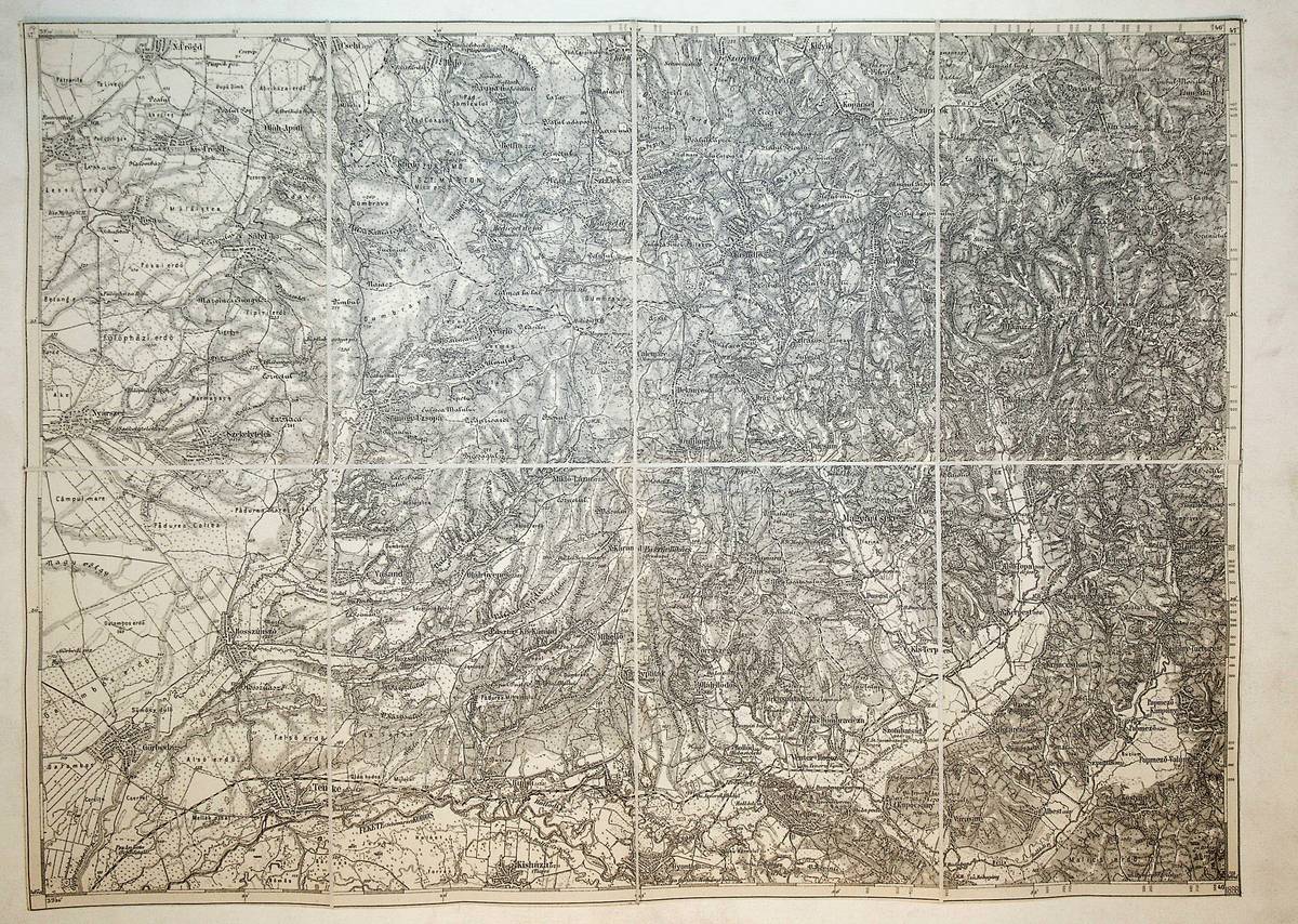
1884ref. K-112Wien, Milit?rgeographisches Institut, 1884. Formatangabe ca 50 x 37 cm, gefaltet zu 8 Segmenten, Ausgabe: einf?rbig; Zustand: gut
1970Very Good English Paperback. Pbo. 12mo. (18 x 12 cm). In French and Turkish. [64] p., color plts. Tapis d'Isparta, Turquie.= Isparta halilari.
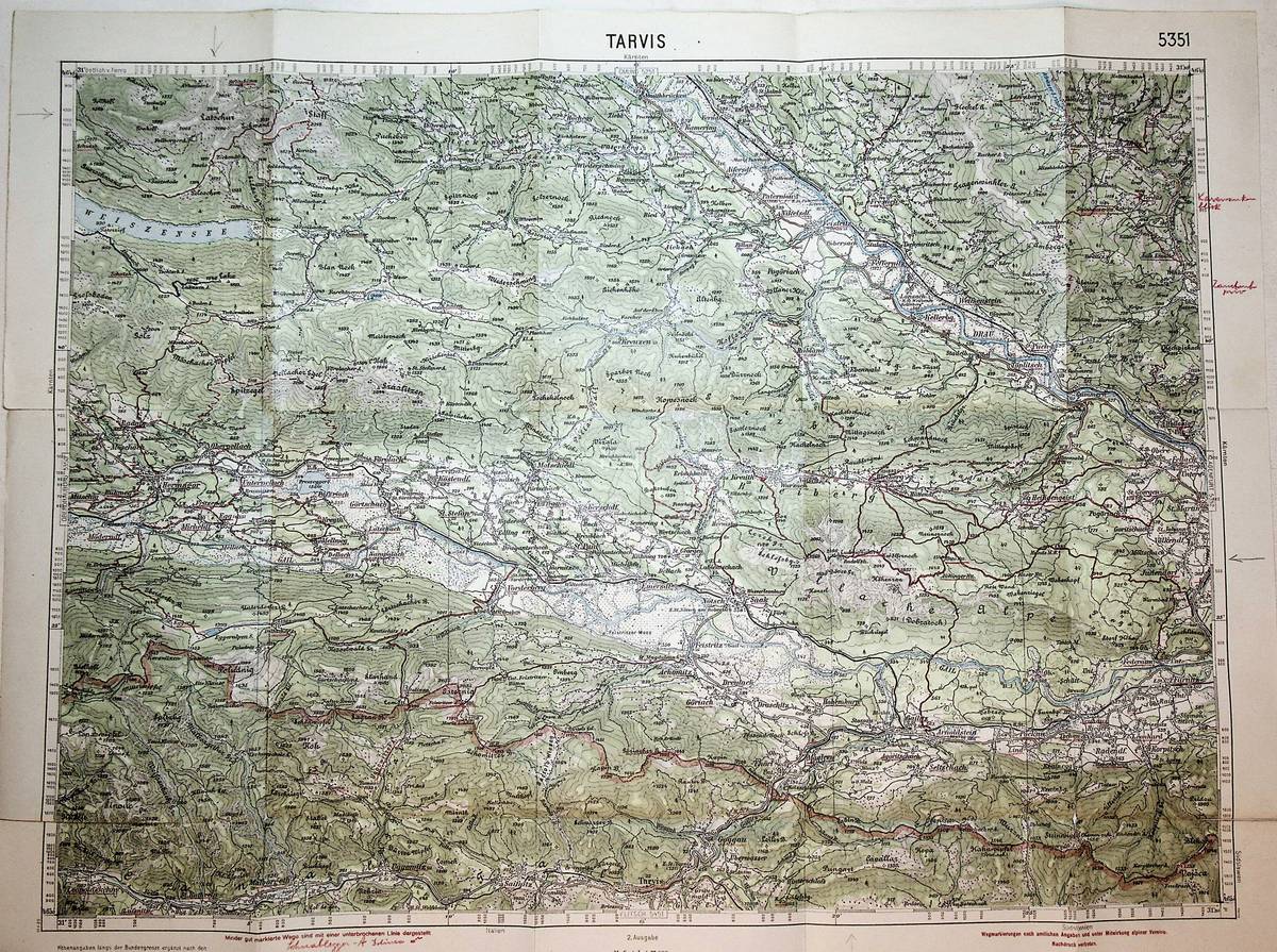
1935ref. K-268Wien, Kartographisches fr?her Milit?rgeographisches Institut, 1935. Formatangabe ca 50 x 37 cm, gefaltet zu 15 Segmenten, Ausgabe: mehrfarbig ; Zustand: gut mit einigen handschriftlichen Einzeichnungen
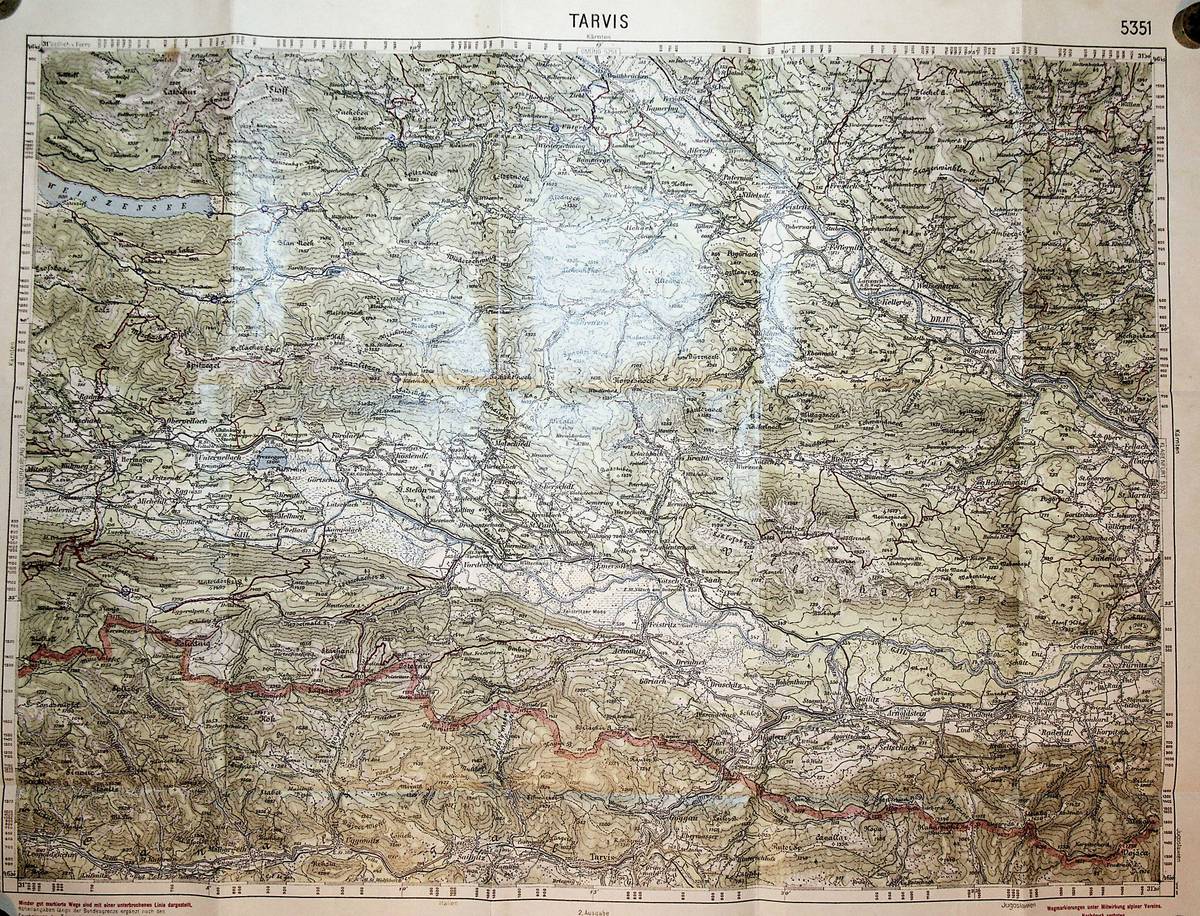
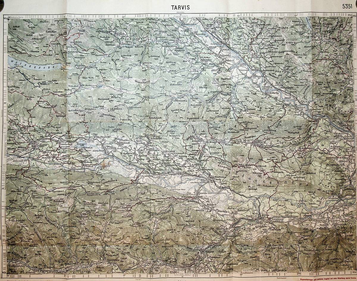
1925ref. K-192Wien, Kartographisches fr?her Milit?rgeographisches Institut, um 1925. die Karte ist mit 2. Auflage bezeichnet und folgt somit der Ausgabe von 1918, Formatangabe ca 50 x 37 cm, gefaltet zu 10 Segmenten, Ausgabe: mehrfarbig ; Zustand: gut
1925ref. K-1843Wien, Kartographisches fr?her Milit?rgeographisches Institut, um 1925. Formatangabe ca 50 x 37 cm, gefaltet zu 10 Segmenten, Ausgabe: mehrfarbig ; Zustand: Falzr?nder stark berieben, teils eingerissen, handschriftliche Anmerkungen und Unterstreichungen mit rotem Buntstift, Bleistiftmarkierungen, manche Falzecken mit kleinen L?chern
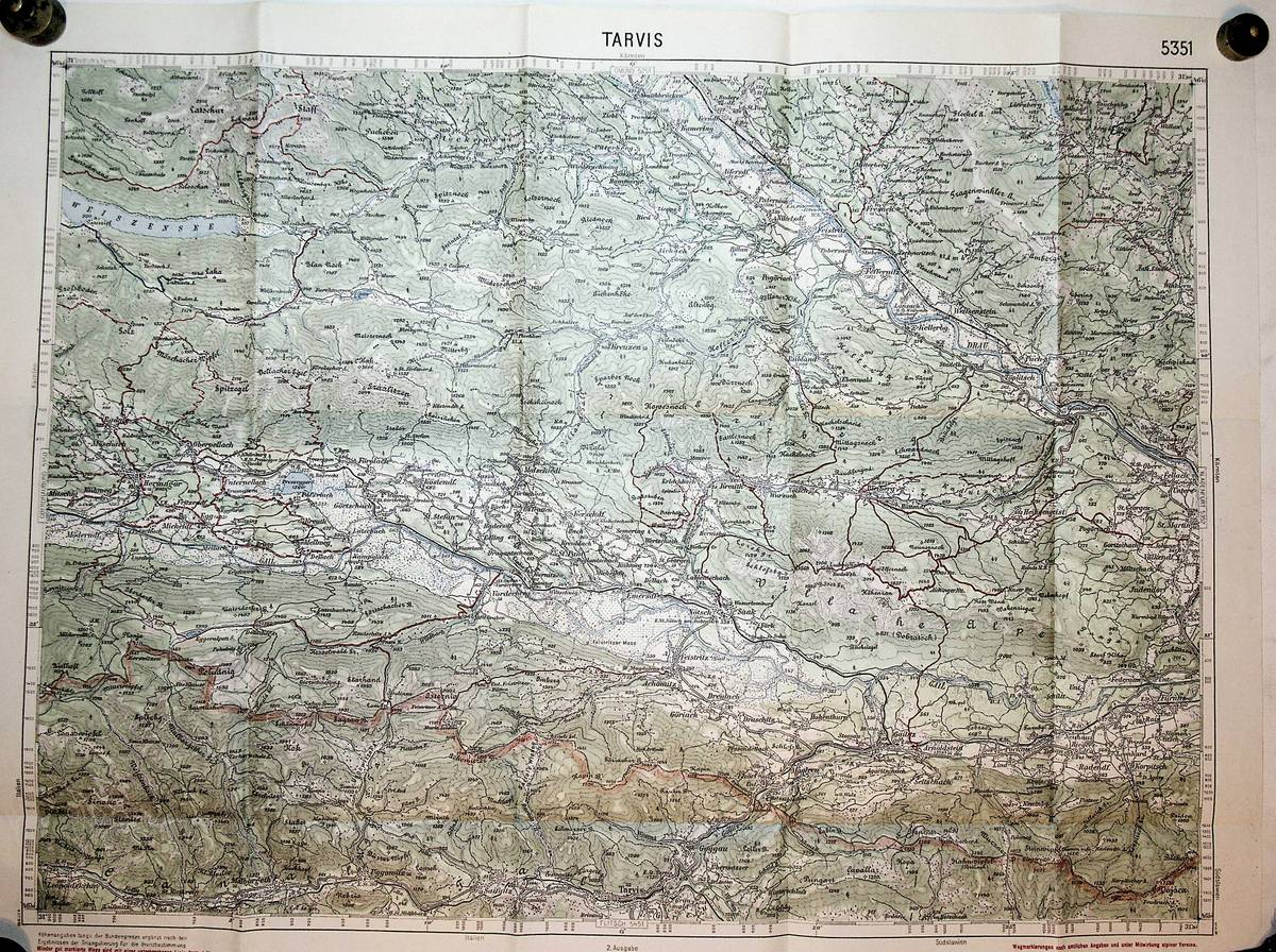
1925ref. K-381Wien, Kartographisches fr?her Milit?rgeographisches Institut, 1925. die Karte ist mit 2. Auflage bezeichnet und folgt somit der Ausgabe von 1918, Formatangabe ca 50 x 37 cm, gefaltet zu 10 Segmenten, Ausgabe: mehrfarbig ; Zustand: gut
1996ref. 76-735DMA Remote Replication System Forward Deployed Element 1996. 1996. Folded map. 38 x 28 inches. three colors. 1:250000. Shows area within Bosnia & Herzegovina. Schematic map not a terrain map. Fine Copy. Map. Fine. Book. DMA Remote Replication System Forward Deployed Element, 1996.
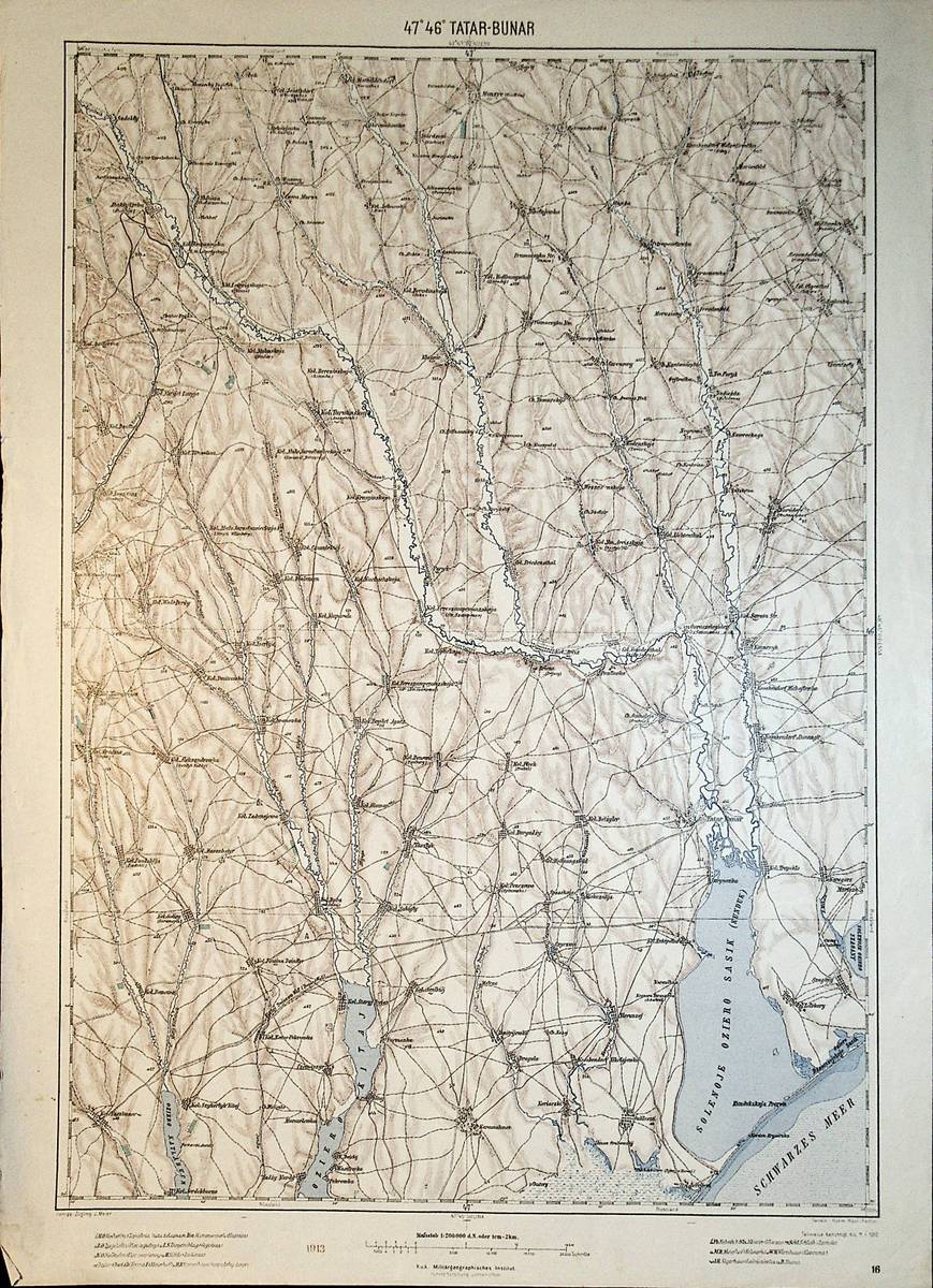
1913ref. A111-214Wien, Kaiserlich-K?nigliches Milit?r-Geographisches Institut, 1913. Hochformat, ca. 34 x 55 cm, Ausgabe: mehrf?rbig; Zustand: gut +
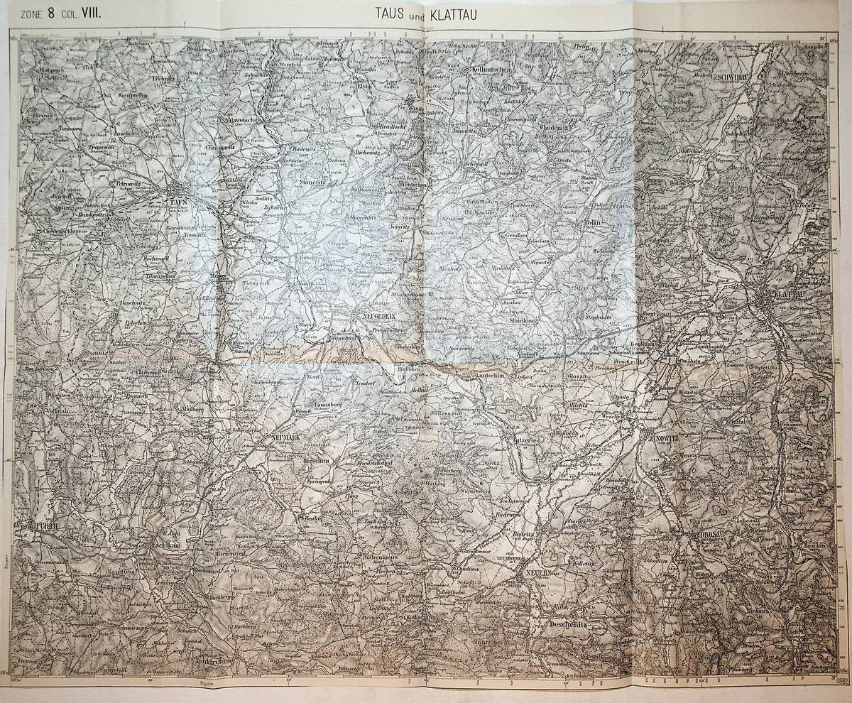
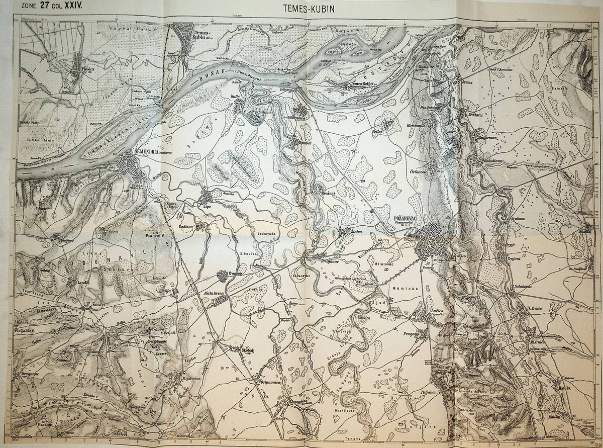
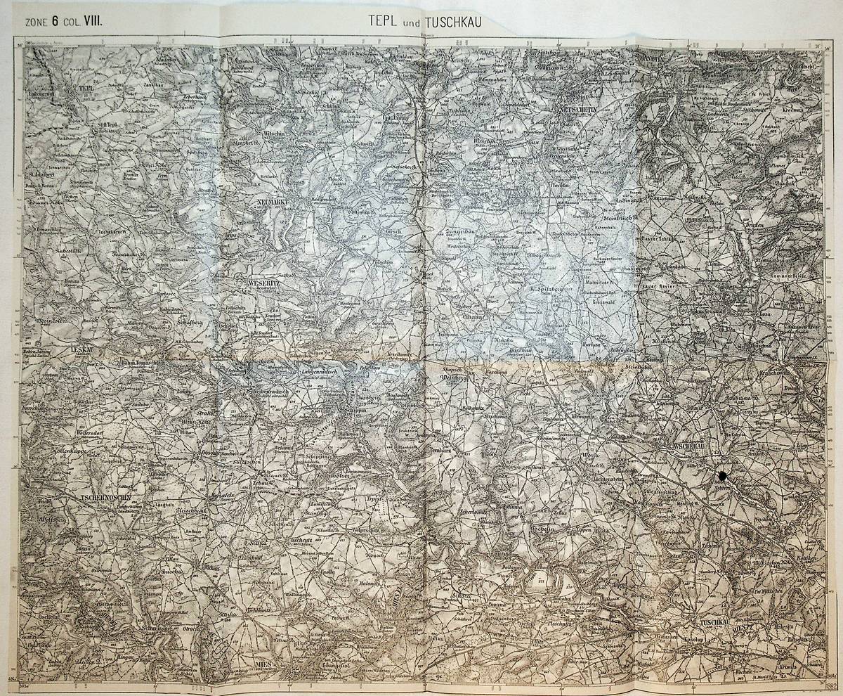
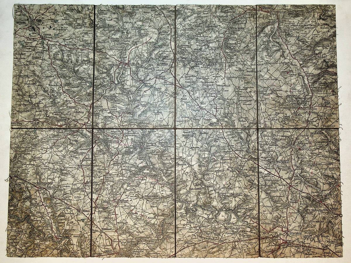
1882ref. K-1263Wien, Milit?rgeographisches Institut, 1882. Formatangabe ca 50 x 37 cm, gefaltet zu 8 Segmenten, Ausgabe: einf?rbig ; Zustand: gut
1892ref. K-1988Wien, Kaiserlich-K?nigliches Milit?r-Geographisches Institut, ca. 1892. Formatangabe ca 50 x 37 cm, zu 8 Segmenten auf Leinen aufgezogen, Ausgabe: einf?rbig ; Zustand: gut
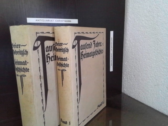
1911ref. 30655Leipzig : E. Wiegandt 1911. gr. 8°, 515 S./ 546 S., Schrift: Fraktur / Altdeutsche Schrift. gebundene Ausgabe, Leinen, Rücken und Schnitt stockfleckig, sonst Exemplare in gutem Erhaltungszustand
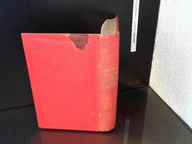
1865ref. 16157Berlin, Verlag der Königlichen Geheimen Ober-Hofdruckerei (R. v. Decker), 1865. 3 Bde. in 1 Bd. XX, 216 S.; XI, 220 S.; 2 Bl., 223 S. 18x12,4 cm. gebundene Ausgabe, Leinen, großerer brauner Fleck auf dem Rücken-Deckel (Einband), sonst Exemplar in gutem Erhaltungszustand
ref. 16123Lyon, Chambre Syndicale des Employés de Soierie de la Ville de Lyon, 1929, 1 demi basane, dos à nerfs. in-8, f.t., titre, II-306 pp., illustrations ;
1976ref. 37734Schwäbisch - Gmünd, 1976. 4°, 56 S., ca. 110 S. Anhänge, Beilage 8 farb. Karten, mit zahlreichen s/w Zeichnungen, Grafiken, Schaubildern, Tabellen, Bibl.Ex., Bezahlung per PayPal möglich, we accept PayPal, Stempel u. Nr. a. Vorsatz od. u. Titel, Nr. a. Rücken bzw. Einband, Einb. ger. beschabt u. ger. bestoßen u. angeschmutzt, fingerspurig, Schnitte angeschmutzt, altersbed. Bräunungen, ger. Gebr.sp., kartoniert
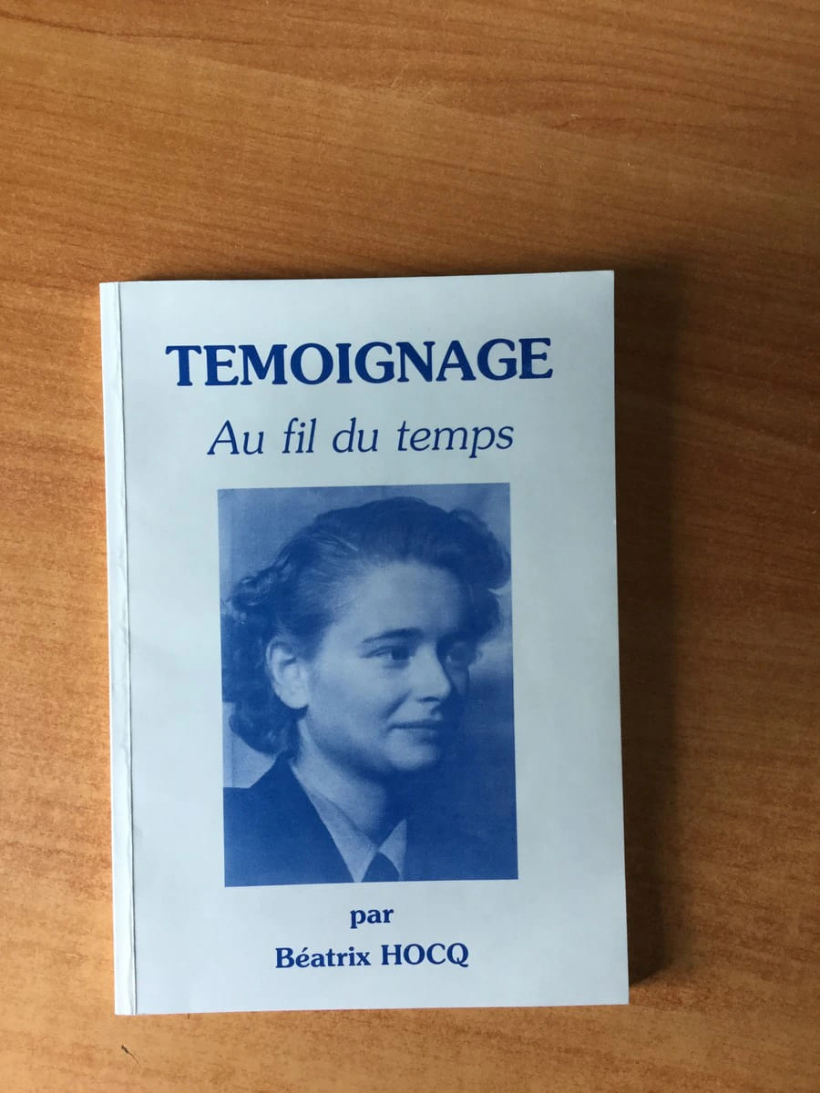
ref. 53002Imprimerie J.N. Martin 2013 livre récit 21*14,5 100 pages
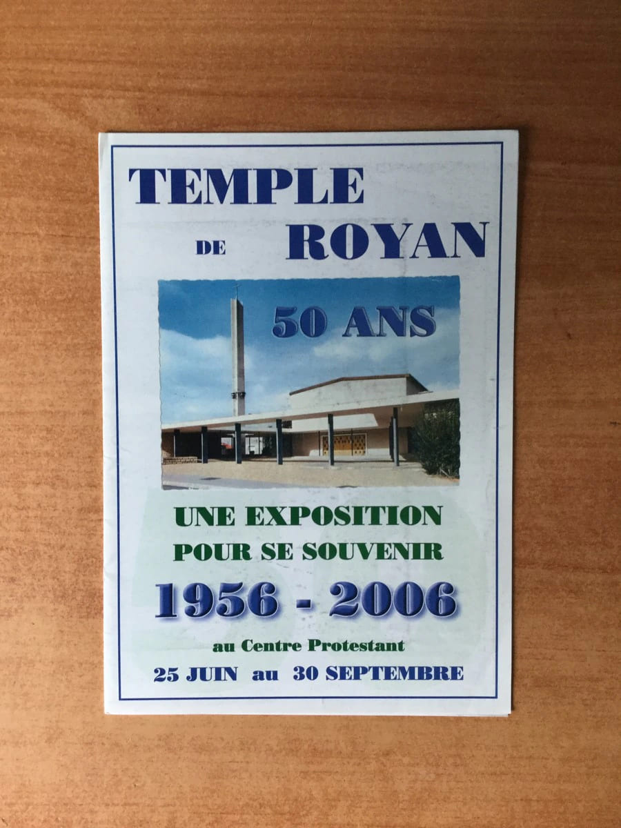
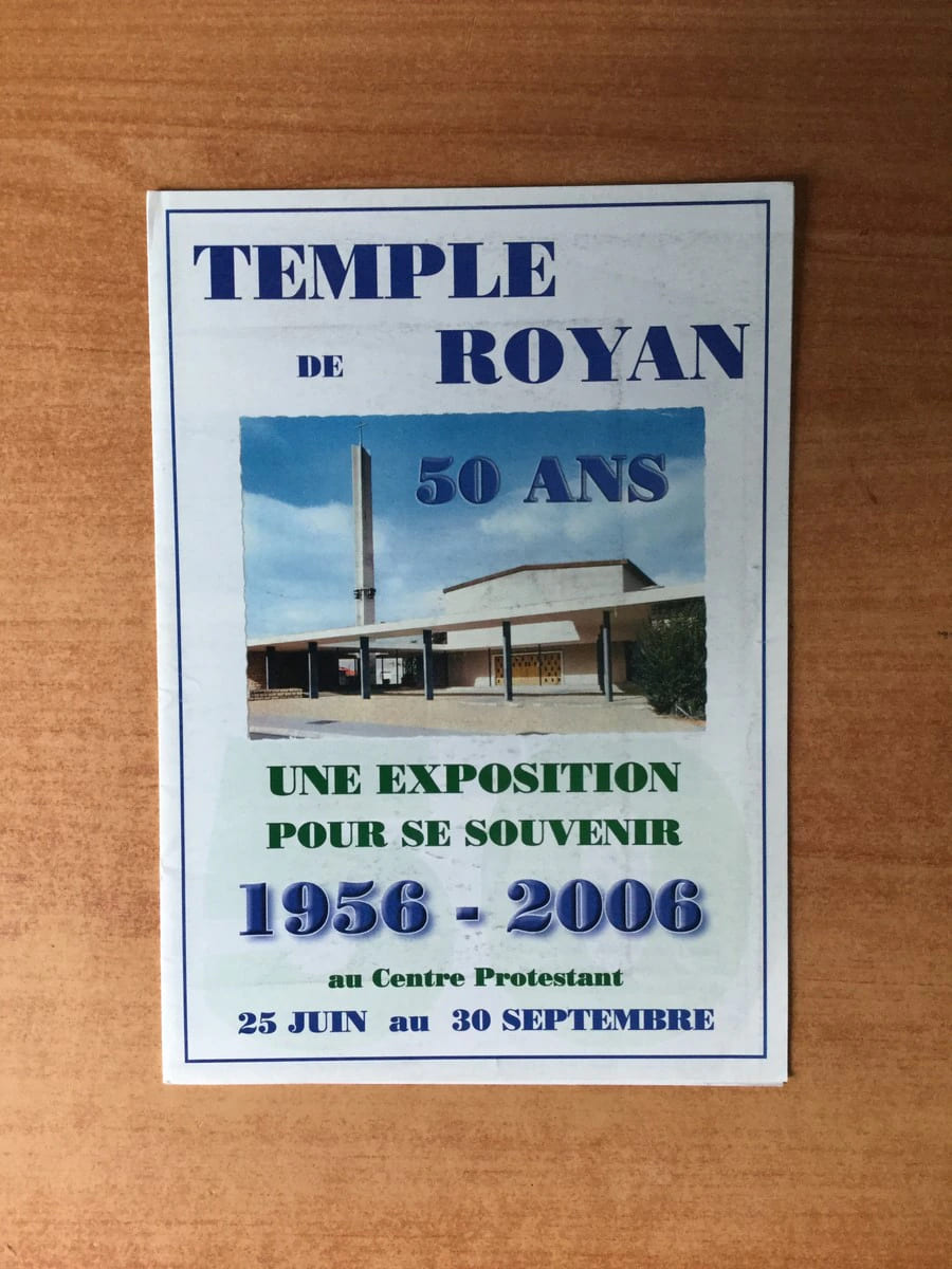
ref. 60999Imprimerie A.G.P. 2006 divers dépliant 21*15 sp pages
ref. 61006Imprimerie A.G.P. 2006 divers dépliant 21*15 sp pages
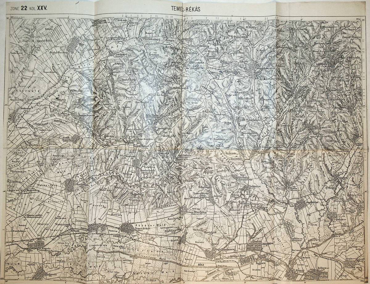
1896ref. K-1074Wien, Milit?rgeographisches Institut, 1896. Formatangabe ca 50 x 37 cm, gefaltet zu 8 Segmenten, Ausgabe: einf?rbig ; Zustand: gut
1884ref. K-158Wien, Milit?rgeographisches Institut, 1884. Formatangabe ca 50 x 37 cm, in 8 Segmenten auf Leinen aufgezogen, Ausgabe: einf?rbig; Zustand: Buntsift Einzeichungen , Karte diesmal etwas knapper beschnitten, Blatt ungenau gefaltet, Karte mit kleinen Einrissen
ref. K-892Wien, Milit?rgeographisches Institut. Formatangabe ca 50 x 37 cm, gefaltet zu 8 Segmenten, Ausgabe: einf?rbig ; Zustand: ein paar Tintenspritzer, sonst gut
1912ref. K-408Wien, Milit?rgeographisches Institut in Kommission bei Lechner (M?ller), 1912. Formatangabe ca 50 x 37 cm, gefaltet zu 8 Segmenten, auf Leinen aufgezogen, Ausgabe: einf?rbig, Kartenlegende auf zwei Segmentr?ckseiten aufkaschiert; Zustand: gut
1882ref. K-879Wien, Milit?rgeographisches Institut, 1882. Formatangabe ca 50 x 37 cm, gefaltet zu 8 Segmenten, Ausgabe: einf?rbig ; Zustand: ein kleiner Tintenfleck, sonst, gut
1895ref. K-1962Wien, Kaiserlich-K?nigliches Milit?r-Geographisches Institut, ca. 1895. Formatangabe ca 50 x 37 cm, zu 8 Segmenten auf Leinen aufgezogen, Ausgabe: einf?rbig ; Zustand: gut, partiell mit rotem Kolor.