Antiquariat.de
5.697 Ergebnisse
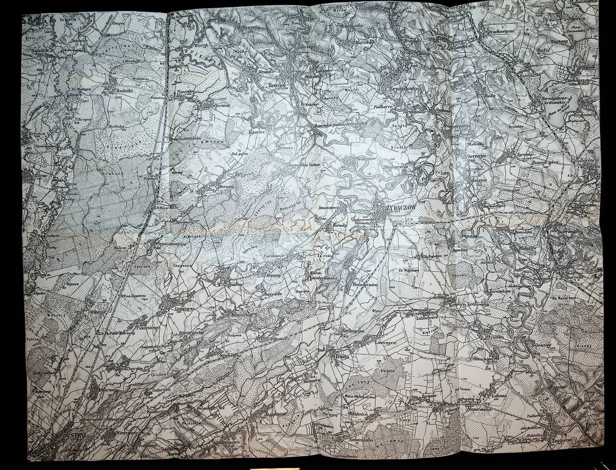
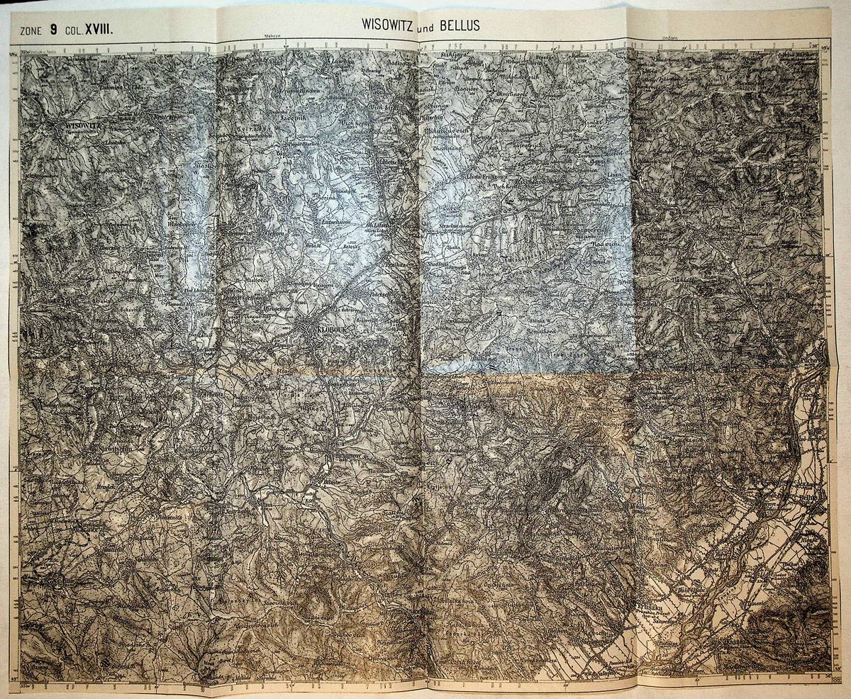
1885Best.-Nr. K-799Wien, Milit?rgeographisches Institut, 1885. Formatangabe ca 50 x 37 cm, gefaltet zu 8 Segmenten, Ausgabe: einf?rbig ; Zustand: gut
1880Best.-Nr. K-792Wien, Milit?rgeographisches Institut, 1880. Formatangabe ca 50 x 37 cm, gefaltet zu 8 Segmenten, Ausgabe: einf?rbig ; Zustand: gut
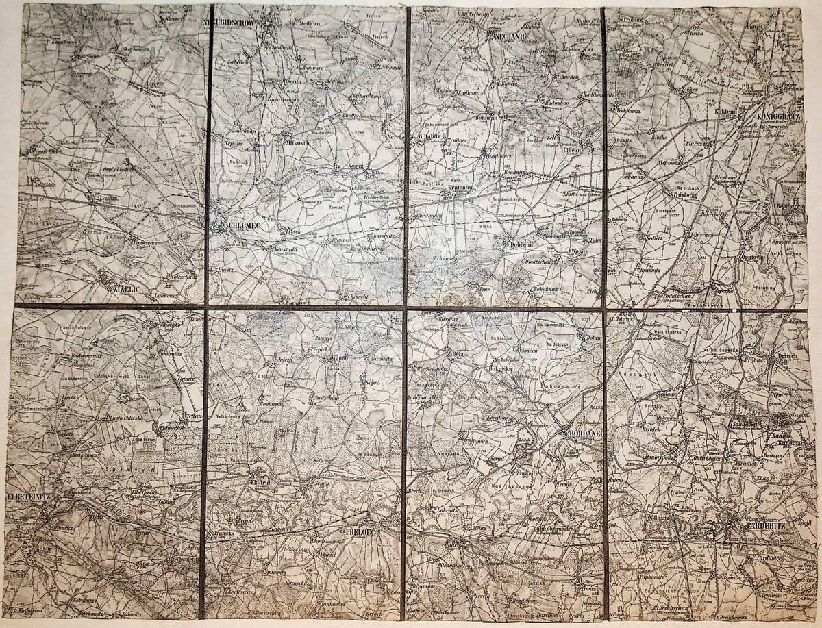
1892Best.-Nr. K-1990Wien, Kaiserlich-K?nigliches Milit?r-Geographisches Institut, ca. 1892. Formatangabe ca 50 x 37 cm, zu 8 Segmenten auf Leinen aufgezogen, Ausgabe: einf?rbig ; Zustand: gut, mit wenigen Farbunterstreichungen
1896Best.-Nr. K-1989Wien, Kaiserlich-K?nigliches Milit?r-Geographisches Institut, ca. 1896. Formatangabe ca 50 x 37 cm, zu 8 Segmenten auf Leinen aufgezogen, Ausgabe: einf?rbig ; Zustand: gut
1914Best.-Nr. K-063Wien, Milit?rgeographisches Institut, [1914]. Formatangabe ca 50 x 37 cm, gefaltet zu 8 Segmenten, Ausgabe: einf?rbig; Zustand: gut,
1915Best.-Nr. K-024Wien, Milit?rgeographisches Institut, [1915]. Formatangabe ca 50 x 37 cm, gefaltet zu 8 Segmenten, Ausgabe: einf?rbig; Zustand: gut,
1917Best.-Nr. K-023Wien, Milit?rgeographisches Institut, [1917]. Formatangabe ca 50 x 37 cm, gefaltet zu 8 Segmenten, Ausgabe: einf?rbig; Zustand: gut,
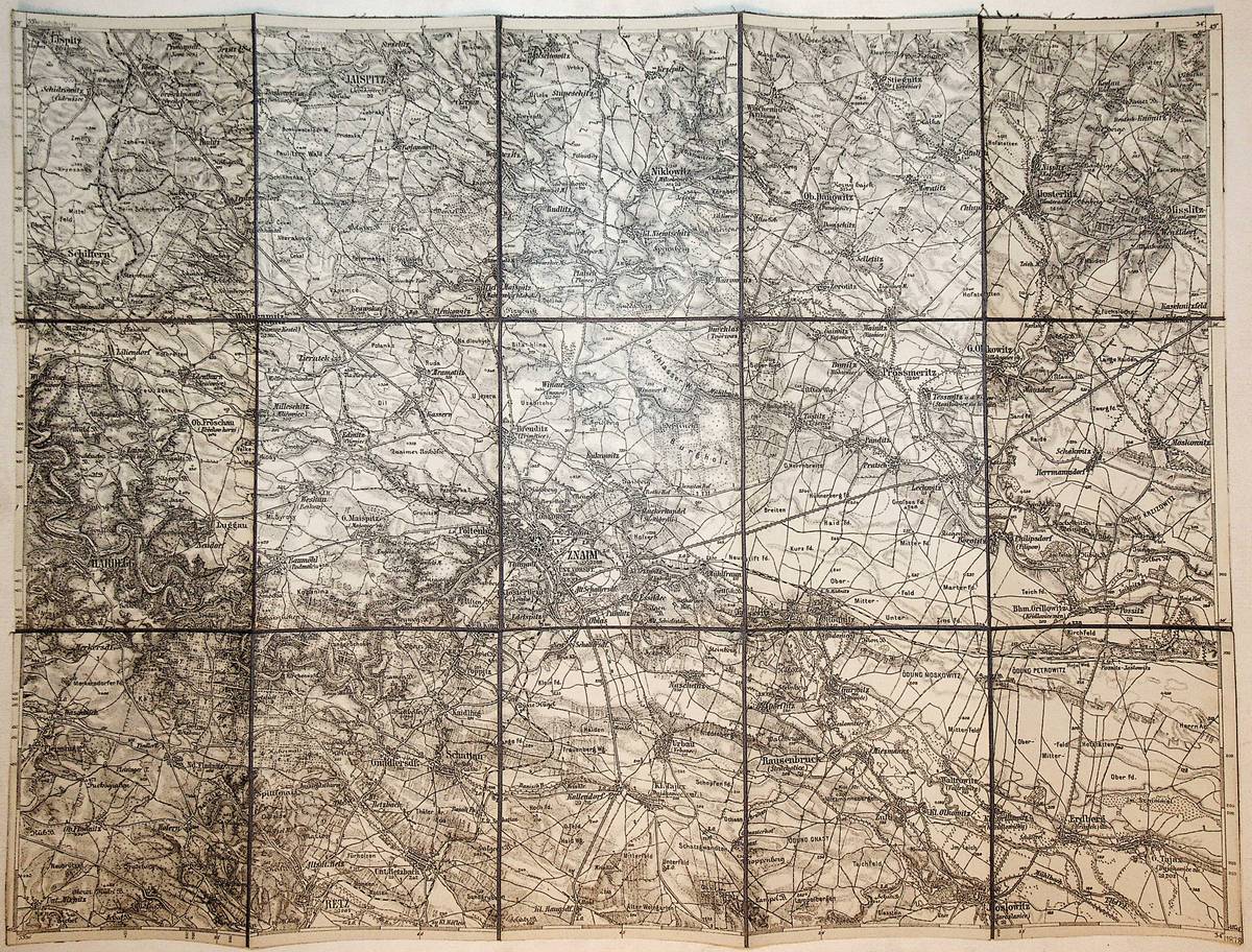
1878Best.-Nr. K-1391Wien, Milit?rgeographisches Institut, 1878. Formatangabe ca 50 x 37 cm, gefaltet zu 15 Segmenten, auf Leinen aufgezogen, Ausgabe: einf?rbig ; Zustand: gut
1914Best.-Nr. K-033Wien, Milit?rgeographisches Institut, [1914]. Formatangabe ca 50 x 37 cm, gefaltet zu 8 Segmenten, Ausgabe: einf?rbig; Zustand: gut
1916Very Good Turkish, Ottoman (1500-1928) Original color map. Folded. Oblong atlas folio. (50 x 60 cm). In Ottoman script. [MAP of EAST ANATOLIA] Malatya - Divrigi, Mancinik, Adiyaman, Harput. Shows Malatya, Adiyaman and Kharpout region; Firat River (Euphrates), Yazi Düzü, Erguvan etc. Scale: 1/200.000. This is one the serie of the Bonn projection maps which are the first map series in modern techniques in Turkey and the Ottoman Empire. In order to produce these maps covering Turkish territory, Reconnaissance Branch was incorporated into The Mapping Commission. The maps were produced in the datum based on the latitude and longitude of Ayasofya Mosque in equal area Bonn Projection. The field works for the 123 sheets covering the country were conducted by 76 staff. The production was completed in 18 years starting from east west. Field works continued without stopping except in years 1914 and 1920. This map series called also reconnaissance maps contributed a lot to producing 1:25.000 scale maps. Hegira: 1332 = Gregorian: 1916. Not description on map-maker. According to Türkezer & Çobanoglu: History of Mapping in Turkey-1:200.000 Scale Maps, cartographer of this map is Kambay, Cemal.
1916Very Good Turkish, Ottoman (1500-1928) Original color map. Oblong atlas folio. (51 x 61 cm). In Ottoman script. Folded. Topography and toponyms of East Anatolia: Shows Erzurum region, Hasankale (Pasinler), Oltu, Hinis, Karakilise and surroundings. Scale: 1: 200.000. This is one the serie of the Bonn projection maps which are the first map series in modern techniques in Turkey and the Ottoman Empire. In order to produce these maps covering Turkish territory, Reconnaissance Branch was incorporated into The Mapping Commission. The maps were produced in the datum based on the latitude and longitude of Ayasofya Mosque in equal area Bonn Projection. The field works for the 123 sheets covering the country were conducted by 76 staff. The production was completed in 18 years starting from east west. Field works continued without stopping except in years 1914 and 1920. This map series called also reconnaissance maps contributed a lot to producing 1:25.000 scale maps. Rare.
1916Very Good Turkish, Ottoman (1500-1928) Original color map. Folded. Oblong atlas folio. (50 x 60 cm). In Ottoman script. [MAP of EAST ANATOLIA and ARTVIN] Oltu, Artvin, Ispir, Hasankale. Shows Artvin, Ispir, Hasankale and Kars city. Scale: 1/200.000. This is one the serie of the Bonn projection maps which are the first map series in modern techniques in Turkey and the Ottoman Empire. In order to produce these maps covering Turkish territory, Reconnaissance Branch was incorporated into The Mapping Commission. The maps were produced in the datum based on the latitude and longitude of Ayasofya Mosque in equal area Bonn Projection. The field works for the 123 sheets covering the country were conducted by 76 staff. The production was completed in 18 years starting from east west. Field works continued without stopping except in years 1914 and 1920. This map series called also reconnaissance maps contributed a lot to producing 1:25.000 scale maps. Hegira: 1332 = Gregorian: 1916. Not description on map-maker.
1920Very Good Turkish, Ottoman (1500-1928) Original color map. Folded. Oblong atlas folio. (50 x 60 cm). In Ottoman script. [MAP of EAST BLACK SEA] Trabzon, Giresun, Erzincan, Ispir. Shows Trebizond, Cerasonte, Erzingan (Eriza), Suspiritis (Sper) of Erzurum (Erzeron city); mostly Black Sea shores of Trabzon and Giresun. . Scale: 1/200.000. This is one the serie of the Bonn projection maps which are the first map series in modern techniques in Turkey and the Ottoman Empire. In order to produce these maps covering Turkish territory, Reconnaissance Branch was incorporated into The Mapping Commission. The maps were produced in the datum based on the latitude and longitude of Ayasofya Mosque in equal area Bonn Projection. The field works for the 123 sheets covering the country were conducted by 76 staff. The production was completed in 18 years starting from east west. Field works continued without stopping except in years 1914 and 1920. This map series called also reconnaissance maps contributed a lot to producing 1:25.000 scale maps. Hegira: 1336 = Gregorian: 1920. Not description on map-maker. Extremely rare.
1912Very Good Turkish, Ottoman (1500-1928) Original color map on cloth. Folded. Oblong atlas folio. (50 x 60 cm). In Ottoman script. [MAP of MAGNESIA - AEGEAN REGION] Manisa - Soma, Izmir, Aydin cities (Magnesia, Smyrna and Tralleis) in Aegean region. It shows villages and settlements in Tayakadin of Iskenderiye. Scale: 1/25.000. Hegira: 1328 = Gregorian: 1912. This is one the serie of the Bonn projection maps which are the first map series in modern techniques in Turkey and the Ottoman Empire. In order to produce these maps covering Turkish territory, Reconnaissance Branch was incorporated into The Mapping Commission. The maps were produced in the datum based on the latitude and longitude of Ayasofya Mosque in equal area Bonn Projection. The field works for the 123 sheets covering the country were conducted by 76 staff. The production was completed in 18 years starting from east west. Field works continued without stopping except in years 1914 and 1920. This map series called also reconnaissance maps contributed a lot to producing 1:25.000 scale maps. Not description on map-maker. A very detailed map showing lakes, rivers and mountains. Extremely rare.
1969Very Good Russian Original cloth bdg. Roy. 8vo. (23 x 16 cm). In Russian. 293 p. Ocerki istorii Oguzov i Turkmen Srednej Azii IX-XIII vv. Essays on the history of Oguz and Turkmen Central Asia between 11th-20th centuries. A very important study on Oghuzs in the Central Asia. Agadjanov was a historian of medieval Turkmenistan, who worked at the Institute of History since 1976. He was very important one among the Russian Turcologists. First Edition. Rare.
1993Best.-Nr. c47290Association des conservateurs des musees du Nord-Pas-de-Calais 1993. Soft cover. Very Good. 4to - over 9¾ - 12" tall. 2 vol set. Neat ink inscriptions on first pages John House Association des conservateurs des musees du Nord-Pas-de-Calais paperback
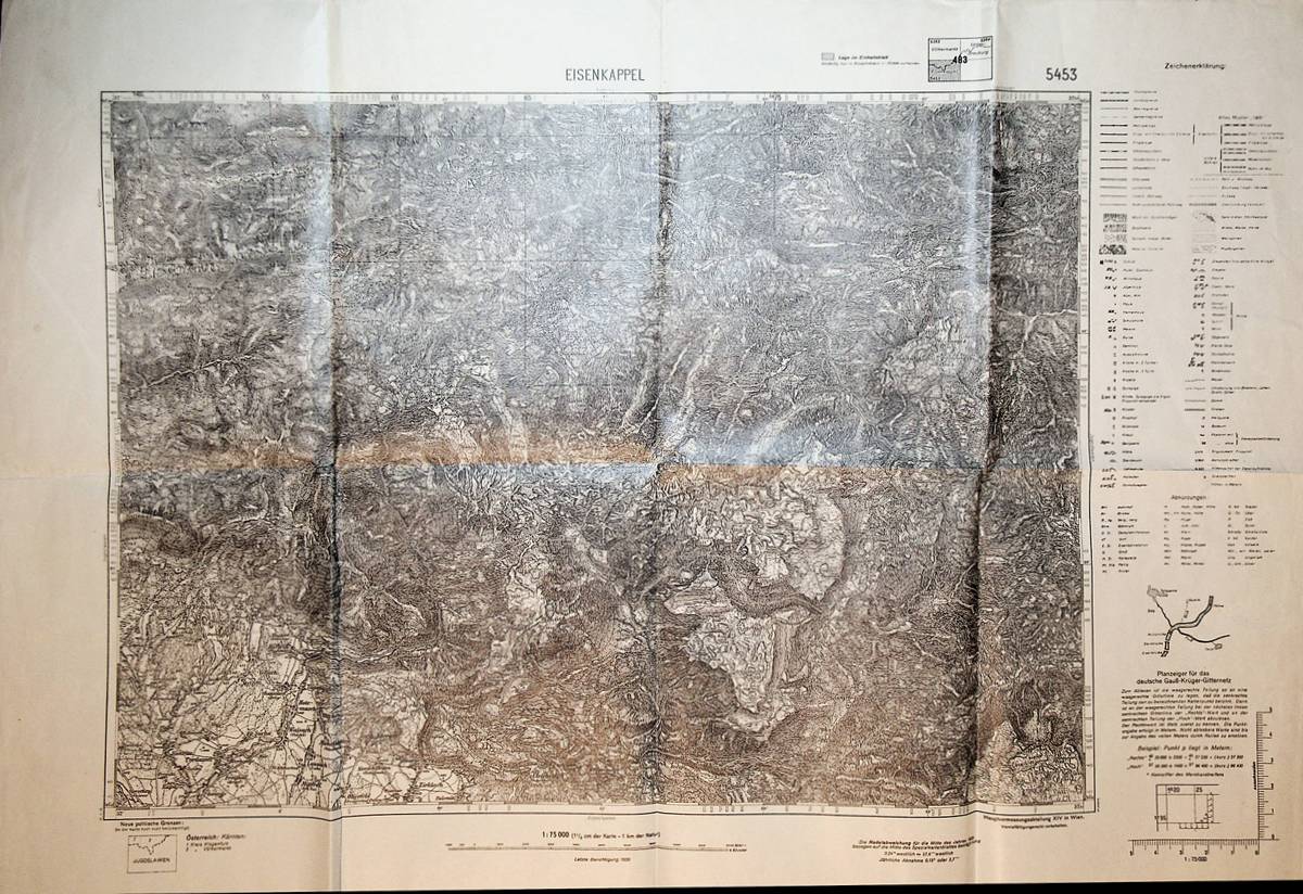
1939Best.-Nr. A141-1351Wien, Hauptvermessungsabteilung XIV, 1939. Formatangabe ca 50 x 37 cm, gefaltet zu 8 Segmenten, Ausgabe: einfarbig mit Gitternetzlinien ; Zustand: gut mit breit. Rand
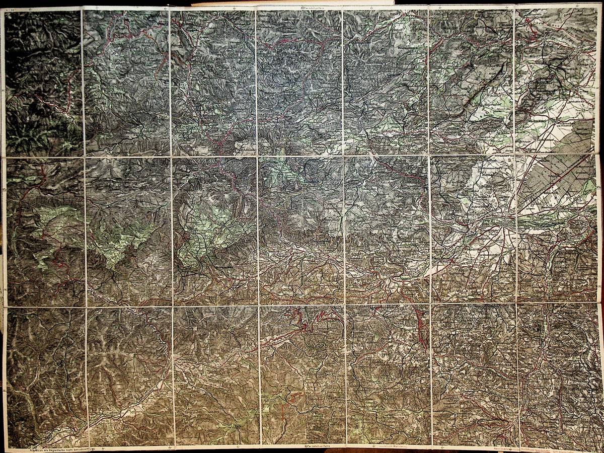
1910Best.-Nr. K-341Wien, Komissionsverlag des k u. k. milit?r.- geogr. Institutes R. Lechner (Wilh. M?ller), [um 1910]. Farblithographie, 72 x 55 cm in 21 Segmenten auf Leinen aufgezogen Mit H?hen- u. Tiefenlinien u. Schraffen, mit der Kartenlegende auf einer Segment- R?ckseite
1993Best.-Nr. 41769ABBerchtesgaden, A. Miller & Sohn KG, 1993-2017. 8°, ja Heft zw. 180 und 220 S. mit zahlr. s/w-Abb., Illustr., Porträts, Dokumenten, Kartendarstellungen, Orts- und Dorfszenen etc. etc., illustr. original Kartonage (Paperback), schöne, saubere Exemplare ohne nennenswerte Mängel
Best.-Nr. 65391, Brepols, 2021 Paperback, xxxiv + 511 pages, Size:210 x 270 mm, Language: French. ISBN 9782503593388.
Hardback petit in-8°,, 481 pp, reliure demi-maroquin à coins, dos à 3 nerfs decore, couv. conservee. Tres bel exemplaire (papier jauni). [NV-32]
Best.-Nr. 21099Avranches, L'Opinion de la Manche - 1941 - In-8 - Broché - couverture illustrée avec étiquette contre-collée - Illustrations en texte & Ht, bois de A.Lepaumier - 102 pages - Bel exemplaire
Avranches, L'Opinion de la Manche - 1941 - In-8 - Broché - couverture illustrée avec étiquette contre-collée - Illustrations en texte & Ht, bois de A.Lepaumier - 102 pages - Bel exemplaire
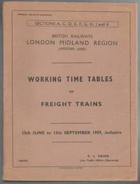
1959Best.-Nr. 010969Crewe: British Railways 1959. Book. Good. Card Covers. 4to - over 9¾ - 12" tall. 801pp. British Railways Paperback
1896Best.-Nr. K-1947Wien, Kaiserlich-K?nigliches Milit?r-Geographisches Institut, ca. 1896. Formatangabe ca 50 x 37 cm, zu 8 Segmenten auf Leinen aufgezogen, Ausgabe: einf?rbig ; Zustand: gut