Antiquariat.de
5.813 Ergebnisse
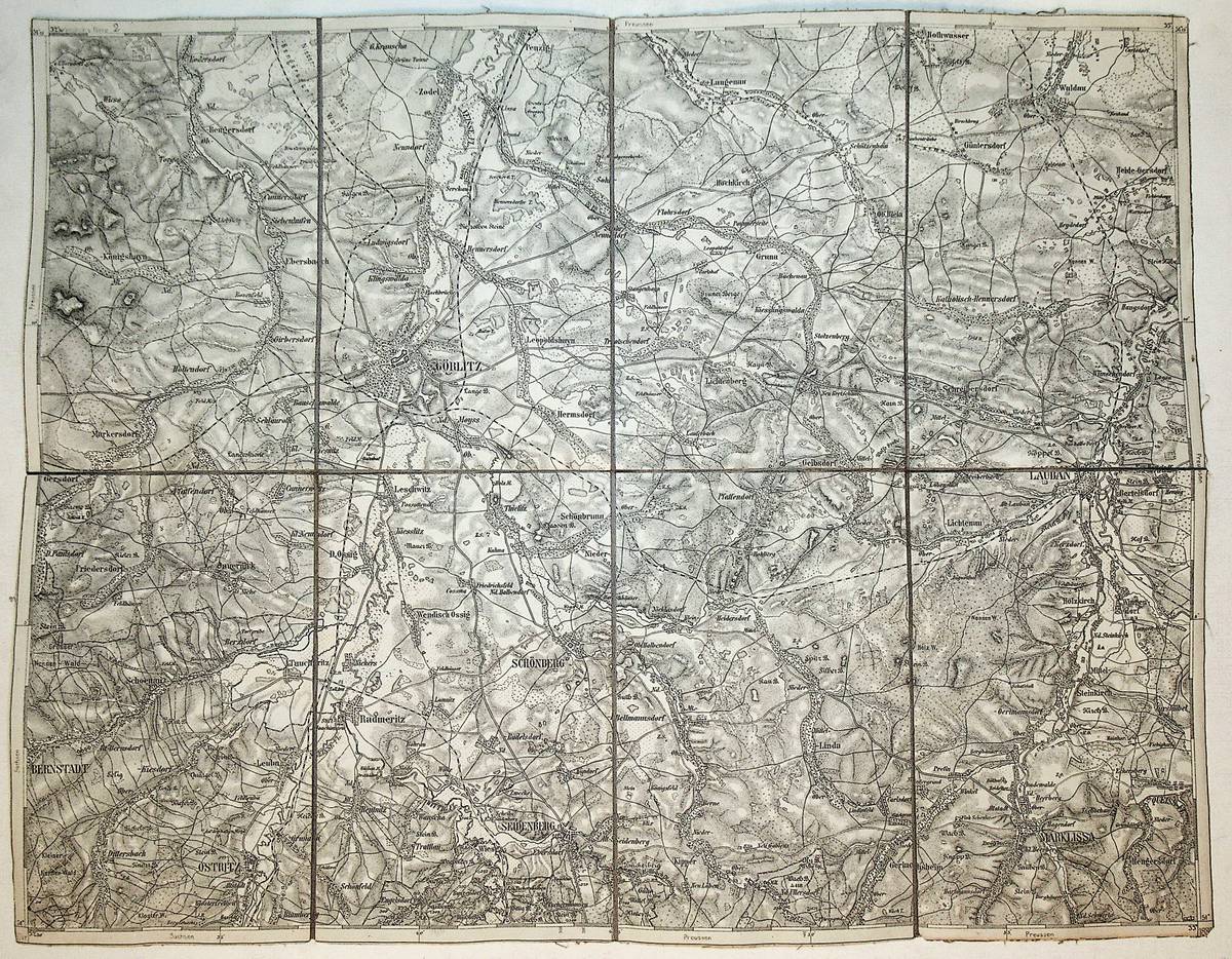
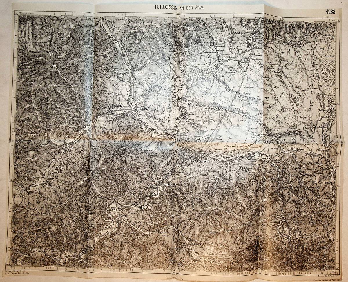
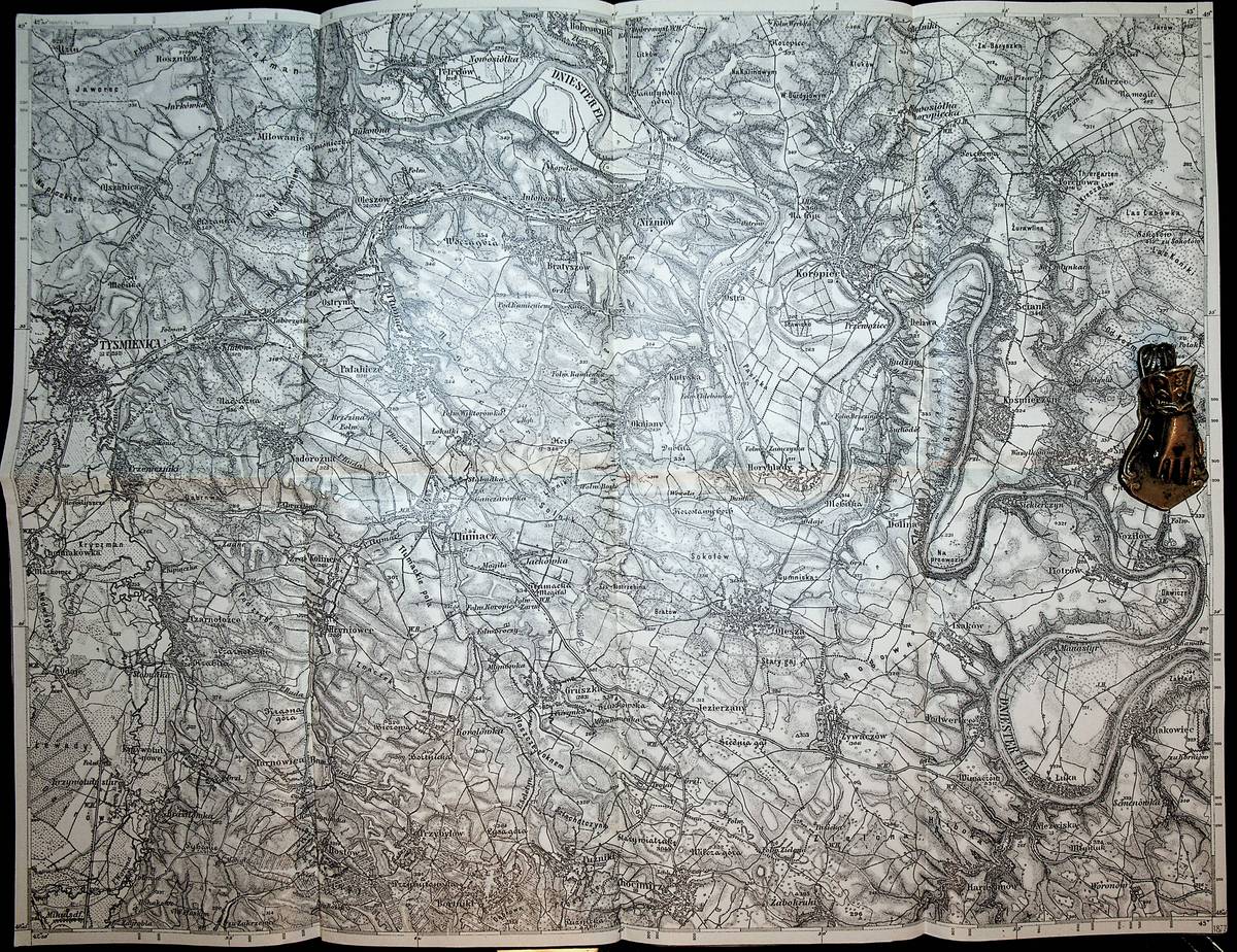
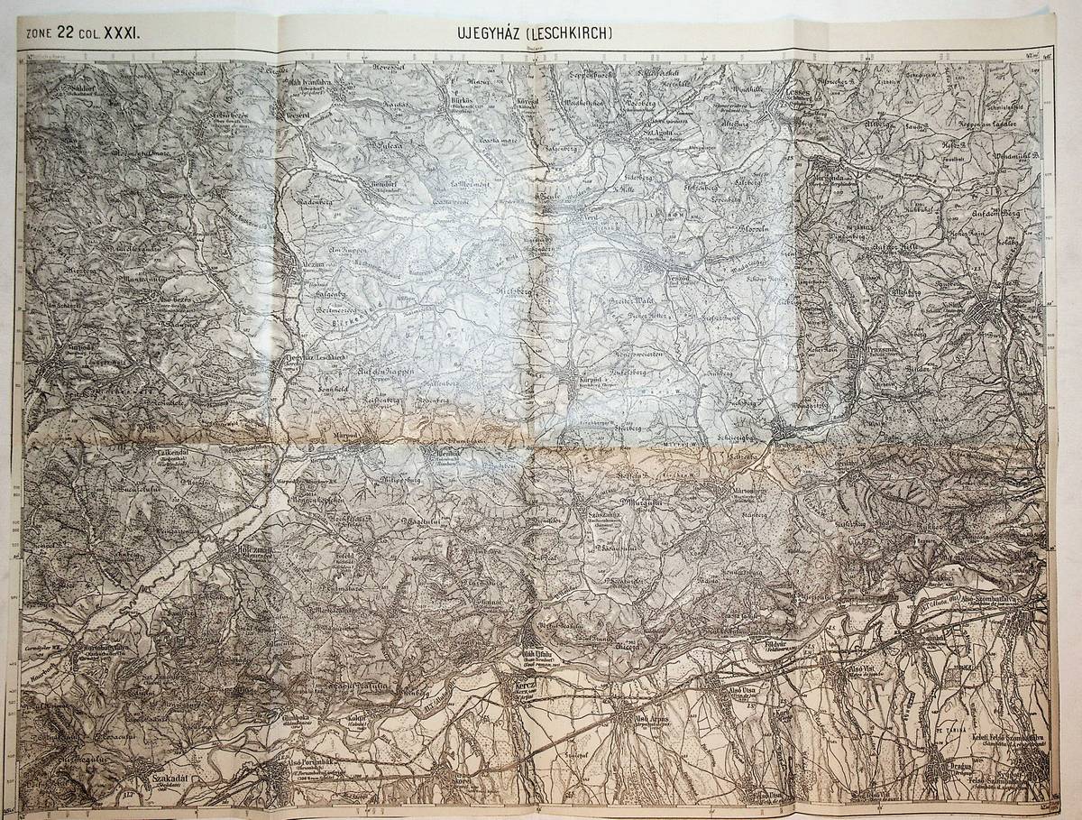
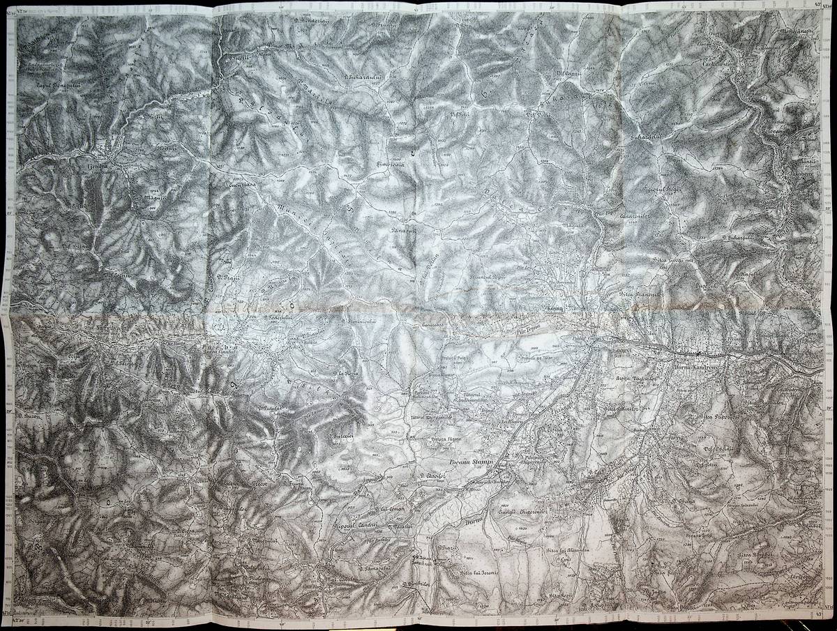
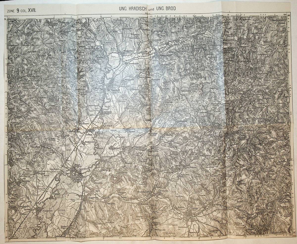
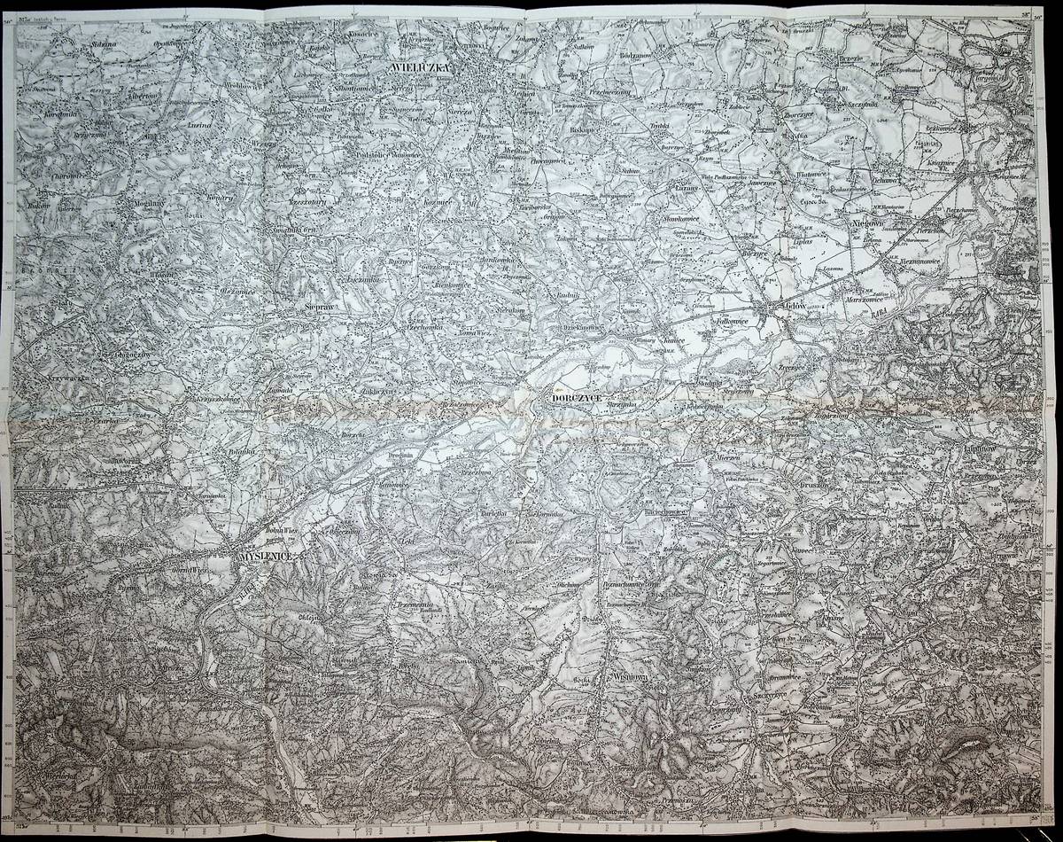
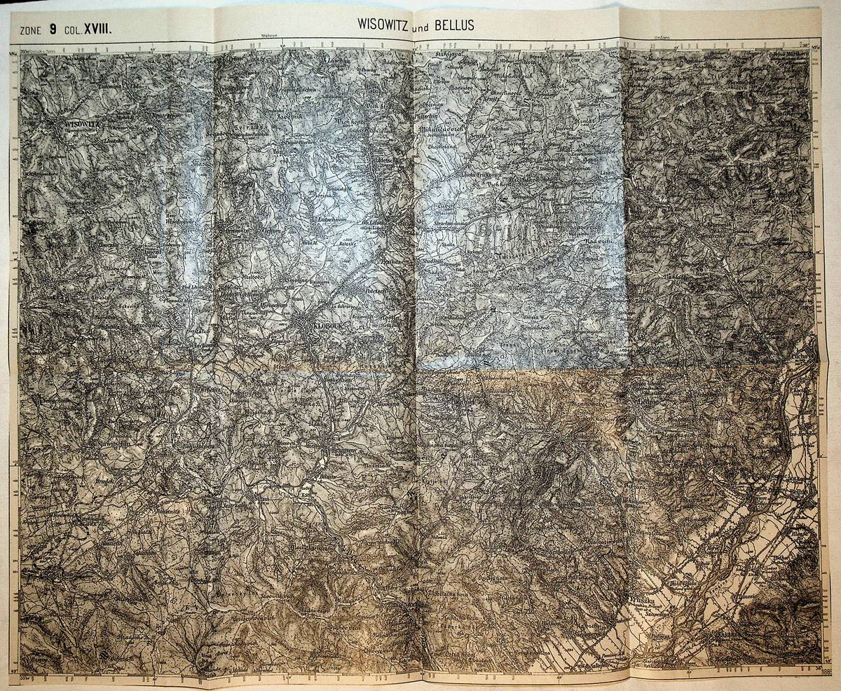
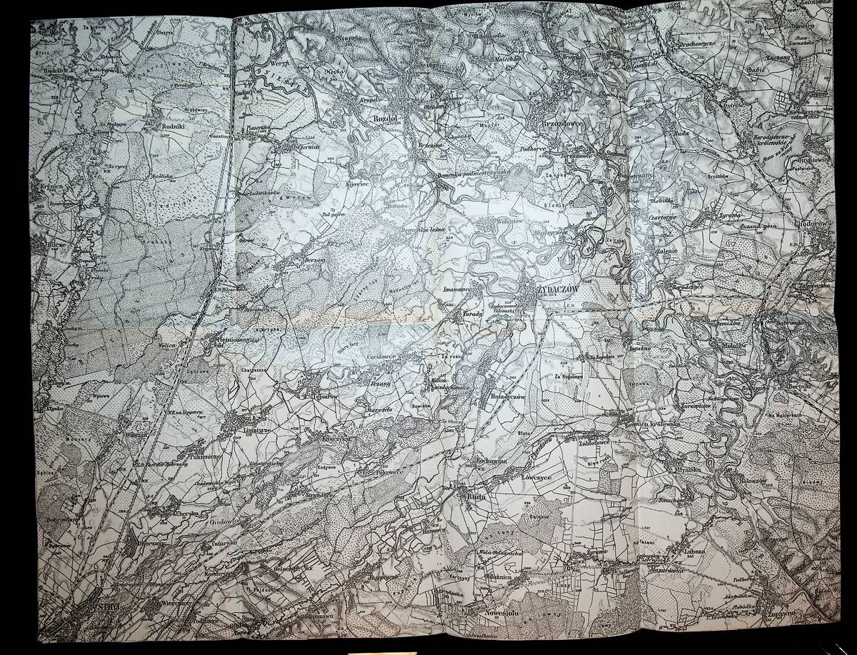
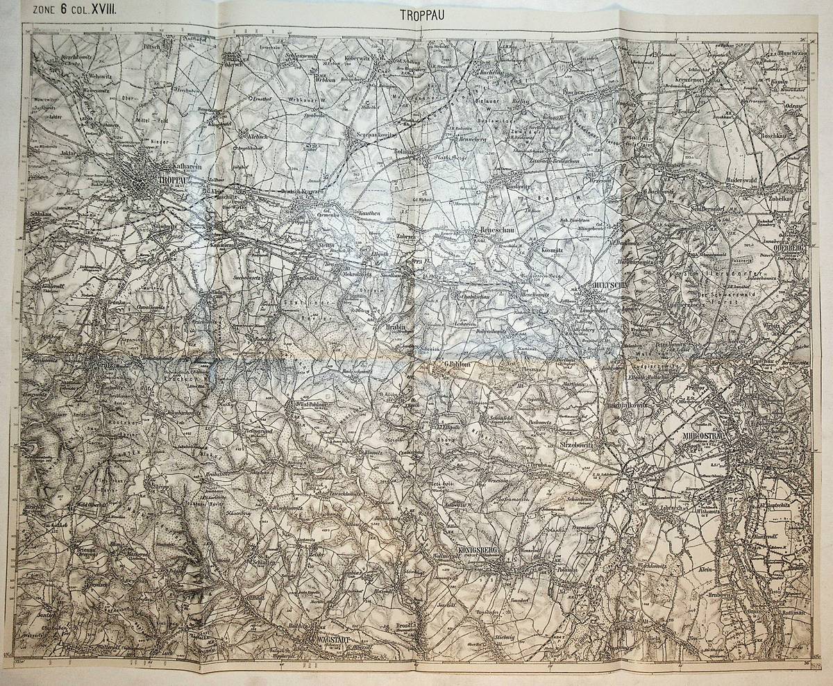
1878Best.-Nr. K-1090Wien, Milit?rgeographisches Institut, ca. 1878. Formatangabe ca 50 x 37 cm, gefaltet zu 8 Segmenten, Ausgabe: einf?rbig ; Zustand: gut
1880Best.-Nr. K-1894Wien, Milit?rgeographisches Institut, 1880. Formatangabe ca 50 x 37 cm, zu 8 Segmenten auf Leinen aufgezogen, Ausgabe: einf?rbig ; Zustand: gut
1915Best.-Nr. K-1114Wien, Milit?rgeographisches Institut, um 1915. Formatangabe ca 50 x 37 cm, gefaltet zu 8 Segmenten, Ausgabe: einf?rbig ; Zustand: gut
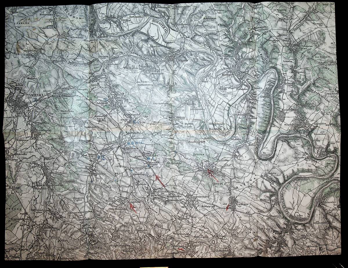
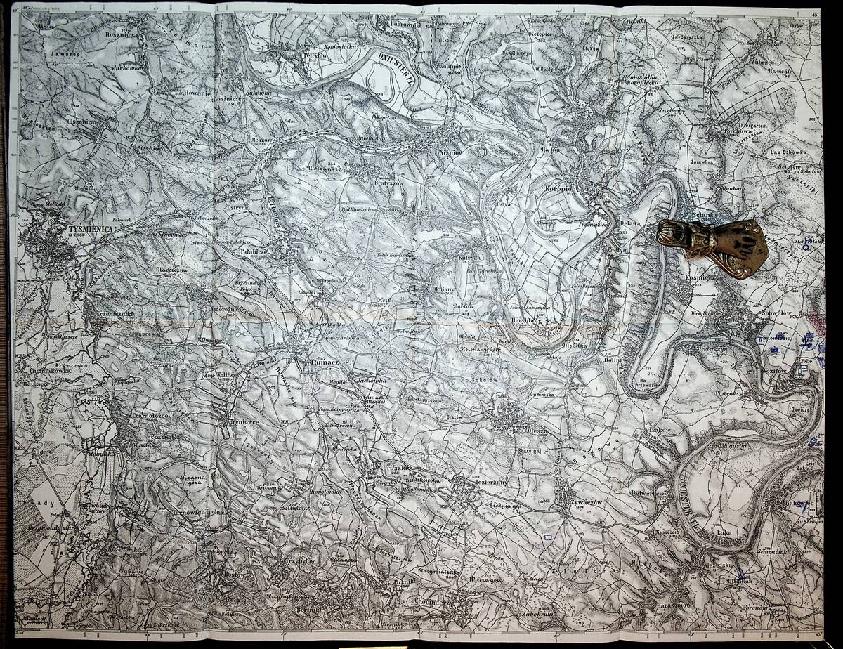
1915Best.-Nr. K-053Wien, Milit?rgeographisches Institut, [1915]. Formatangabe ca 50 x 37 cm, gefaltet zu 8 Segmenten, Ausgabe: einf?rbig; teils mit farbigen Schraffuren, Zustand: gut, mit milit?rischen Fronteinzeichungen aus dem Ersten Weltkrieg
1915Best.-Nr. K-052Wien, Milit?rgeographisches Institut, [1915]. Formatangabe ca 50 x 37 cm, gefaltet zu 8 Segmenten, Ausgabe: einf?rbig; Zustand: gut, mit milit?rischen Fronteinzeichungen aus dem Ersten Weltkrieg
1877Best.-Nr. K-051Wien, Milit?rgeographisches Institut, 1877. Formatangabe ca 50 x 37 cm, gefaltet zu 8 Segmenten, Ausgabe: einf?rbig; Zustand: gut,
1894Best.-Nr. K-823Wien, Milit?rgeographisches Institut, um 1894. Formatangabe ca 50 x 37 cm, gefaltet zu 8 Segmenten, Ausgabe: einf?rbig ; Zustand: ein kleines Loch entlang einer Bugkante, sonst gut
1916Best.-Nr. K-071Wien, Milit?rgeographisches Institut, [1916]. Formatangabe ca 50 x 37 cm, gefaltet zu 8 Segmenten, Ausgabe: einf?rbig; Zustand: gut
1880Best.-Nr. K-798Wien, Milit?rgeographisches Institut, 1880. Formatangabe ca 50 x 37 cm, gefaltet zu 8 Segmenten, Ausgabe: einf?rbig ; Zustand: gut
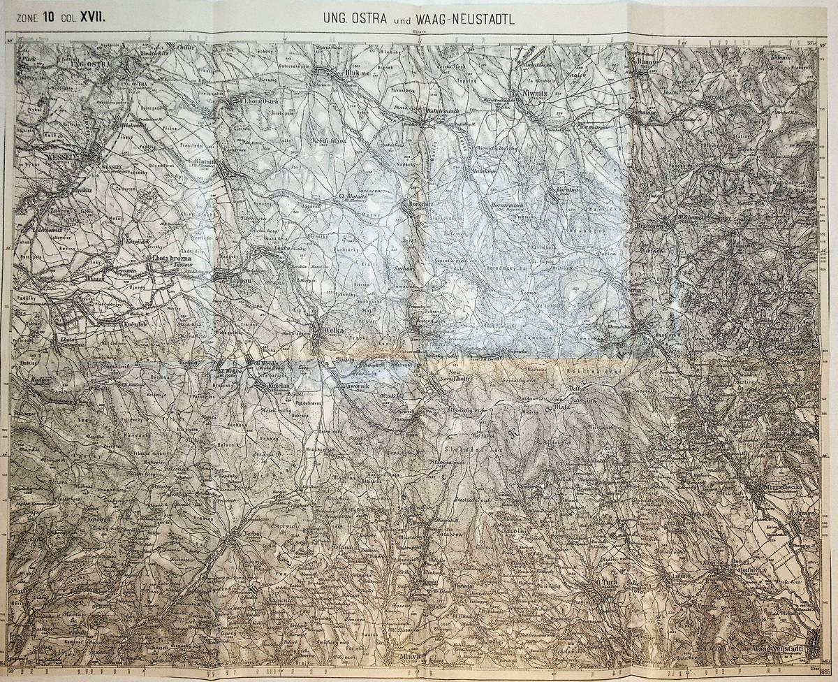
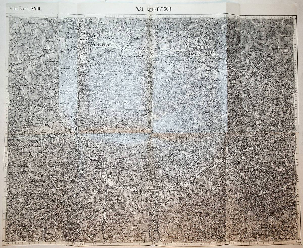
1885Best.-Nr. K-982Wien, Milit?rgeographisches Institut, 1885. Formatangabe ca 50 x 37 cm, gefaltet zu 8 Segmenten, Ausgabe: einf?rbig ; Zustand: gut
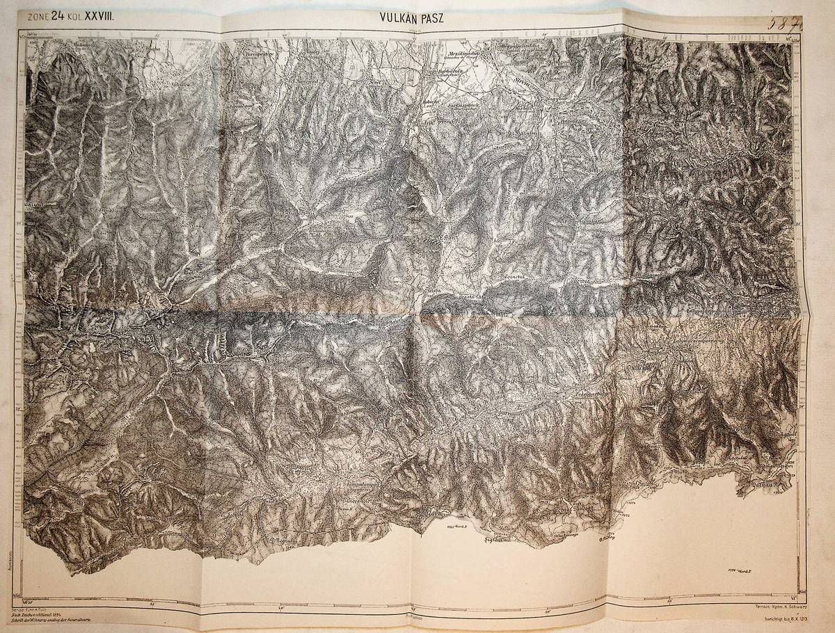
1913Best.-Nr. K-929Wien, Milit?rgeographisches Institut, um 1913. Formatangabe ca 50 x 37 cm, gefaltet zu 8 Segmenten, Ausgabe: einf?rbig ; Zustand: gut
1879Best.-Nr. K-1271Wien, Milit?rgeographisches Institut, 1879. Formatangabe ca 50 x 37 cm, gefaltet zu 8 Segmenten, Ausgabe: einf?rbig ; Zustand: gut
Best.-Nr. K-903Wien, Milit?rgeographisches Institut. Formatangabe ca 50 x 37 cm, gefaltet zu 8 Segmenten, Ausgabe: einf?rbig ; Zustand: eine handschriftliche Markierung mit rotem Buntstift, gut
1906Best.-Nr. K-014Wien, Milit?rgeographisches Institut, 1906. Formatangabe ca 50 x 37 cm, gefaltet zu 8 Segmenten, Ausgabe: einf?rbig; Zustand: gut,
1885Best.-Nr. K-799Wien, Milit?rgeographisches Institut, 1885. Formatangabe ca 50 x 37 cm, gefaltet zu 8 Segmenten, Ausgabe: einf?rbig ; Zustand: gut
1880Best.-Nr. K-792Wien, Milit?rgeographisches Institut, 1880. Formatangabe ca 50 x 37 cm, gefaltet zu 8 Segmenten, Ausgabe: einf?rbig ; Zustand: gut
1892Best.-Nr. K-1990Wien, Kaiserlich-K?nigliches Milit?r-Geographisches Institut, ca. 1892. Formatangabe ca 50 x 37 cm, zu 8 Segmenten auf Leinen aufgezogen, Ausgabe: einf?rbig ; Zustand: gut, mit wenigen Farbunterstreichungen
1896Best.-Nr. K-1989Wien, Kaiserlich-K?nigliches Milit?r-Geographisches Institut, ca. 1896. Formatangabe ca 50 x 37 cm, zu 8 Segmenten auf Leinen aufgezogen, Ausgabe: einf?rbig ; Zustand: gut
1914Best.-Nr. K-063Wien, Milit?rgeographisches Institut, [1914]. Formatangabe ca 50 x 37 cm, gefaltet zu 8 Segmenten, Ausgabe: einf?rbig; Zustand: gut,
1915Best.-Nr. K-024Wien, Milit?rgeographisches Institut, [1915]. Formatangabe ca 50 x 37 cm, gefaltet zu 8 Segmenten, Ausgabe: einf?rbig; Zustand: gut,
1917Best.-Nr. K-023Wien, Milit?rgeographisches Institut, [1917]. Formatangabe ca 50 x 37 cm, gefaltet zu 8 Segmenten, Ausgabe: einf?rbig; Zustand: gut,
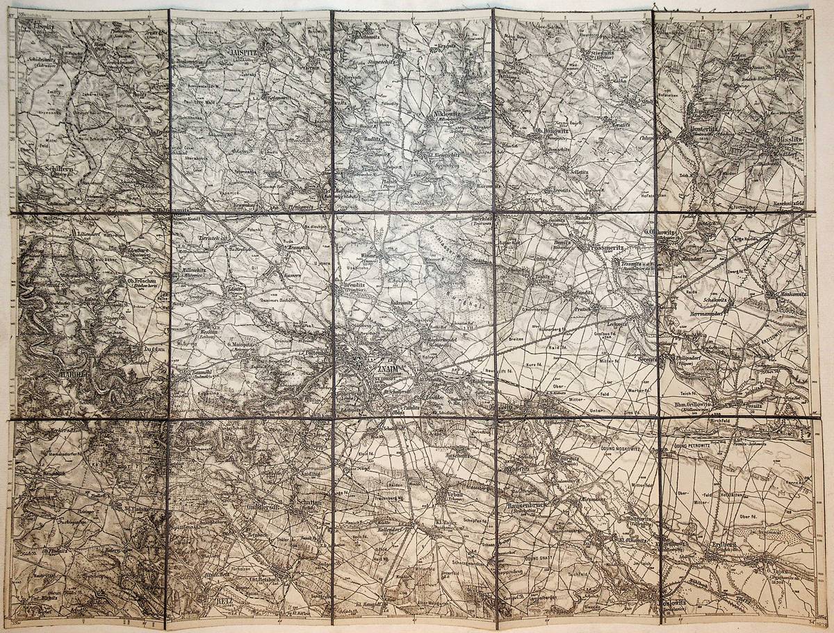
1878Best.-Nr. K-1391Wien, Milit?rgeographisches Institut, 1878. Formatangabe ca 50 x 37 cm, gefaltet zu 15 Segmenten, auf Leinen aufgezogen, Ausgabe: einf?rbig ; Zustand: gut
1914Best.-Nr. K-033Wien, Milit?rgeographisches Institut, [1914]. Formatangabe ca 50 x 37 cm, gefaltet zu 8 Segmenten, Ausgabe: einf?rbig; Zustand: gut
1916Very Good Turkish, Ottoman (1500-1928) Original color map. Folded. Oblong atlas folio. (50 x 60 cm). In Ottoman script. [MAP of EAST ANATOLIA] Malatya - Divrigi, Mancinik, Adiyaman, Harput. Shows Malatya, Adiyaman and Kharpout region; Firat River (Euphrates), Yazi Düzü, Erguvan etc. Scale: 1/200.000. This is one the serie of the Bonn projection maps which are the first map series in modern techniques in Turkey and the Ottoman Empire. In order to produce these maps covering Turkish territory, Reconnaissance Branch was incorporated into The Mapping Commission. The maps were produced in the datum based on the latitude and longitude of Ayasofya Mosque in equal area Bonn Projection. The field works for the 123 sheets covering the country were conducted by 76 staff. The production was completed in 18 years starting from east west. Field works continued without stopping except in years 1914 and 1920. This map series called also reconnaissance maps contributed a lot to producing 1:25.000 scale maps. Hegira: 1332 = Gregorian: 1916. Not description on map-maker. According to Türkezer & Çobanoglu: History of Mapping in Turkey-1:200.000 Scale Maps, cartographer of this map is Kambay, Cemal.
1916Very Good Turkish, Ottoman (1500-1928) Original color map. Oblong atlas folio. (51 x 61 cm). In Ottoman script. Folded. Topography and toponyms of East Anatolia: Shows Erzurum region, Hasankale (Pasinler), Oltu, Hinis, Karakilise and surroundings. Scale: 1: 200.000. This is one the serie of the Bonn projection maps which are the first map series in modern techniques in Turkey and the Ottoman Empire. In order to produce these maps covering Turkish territory, Reconnaissance Branch was incorporated into The Mapping Commission. The maps were produced in the datum based on the latitude and longitude of Ayasofya Mosque in equal area Bonn Projection. The field works for the 123 sheets covering the country were conducted by 76 staff. The production was completed in 18 years starting from east west. Field works continued without stopping except in years 1914 and 1920. This map series called also reconnaissance maps contributed a lot to producing 1:25.000 scale maps. Rare.