5.813 Ergebnisse
1913Very Good Turkish, Ottoman (1500-1928) Original color map on cloth. Folded. Wrinkled on paper. Stains on cloth. 12 sheets on paper. Oblong atlas folio. (50 x 60 cm). In Ottoman script.[MAP of ALEXANDRETTA] Iskenderun - Tayakadin. It shows villages and settlements in Tayakadin of Iskenderiye. Scale: 1/25.000. Hegira: 1329 = Gregorian: 1913. This is one the serie of the Bonn projection maps which are the first map series in modern techniques in Turkey and the Ottoman Empire. In order to produce these maps covering Turkish territory, Reconnaissance Branch was incorporated into The Mapping Commission. The maps were produced in the datum based on the latitude and longitude of Ayasofya Mosque in equal area Bonn Projection. The field works for the 123 sheets covering the country were conducted by 76 staff. The production was completed in 18 years starting from east west. Field works continued without stopping except in years 1914 and 1920. This map series called also reconnaissance maps contributed a lot to producing 1:25.000 scale maps. Not description on map-maker. A very detailed map. Extremely rare.
1912Very Good German Original color map on cloth. Oblong atlas folio. (48 x 63 cm). In Latin, Greek and German. Toponyms are Turkish in Latin transcription script as well as their ancient names in Roman and Greek. Including Afiun Karahisar [Afyonkarahisar] and its south and southwest area. Ascanius Lavus, Djemal Bey Tschiftligi, Macropedium, Asi Karaaghatsch, Denizli, Cretopolis, Sozopolis, Isparta, Tabenerum Campus, Hynera (Cydrara), Anaua Lacus (Adji Tuz Gölü), Ishikli Eumenia, Panasium (Banas Ovasi i.e. Plain), etc. It's one of the 24 sheets of 'Karte von Kleinasien'. Rihard Kiepert was a German cartographer born in Weimar. He was the son of famed geographer Heinrich Kiepert. Richard Kiepert studied geography and history in Berlin and Heidelberg. In 1870, he traveled in Palestine and Asia Minor, returning to take part in the Franco-Prussian War. In 1874, he received his doctorate of philosophy at the University of Jena. From 1874 until 1878 he worked on the compilation of Ferdinand von Richthofen's atlas of China, and from 1875 to 1887, he was editor of the geographical periodical Globus. From 1902 until 1908 he worked on the Spezialkarte von Kleinasien, a map of Asia Minor that was created on a 1:400,000 scale. After his father's death in 1899, he continued the work on the elder Kiepert's classic Formae Orbis Antiqui.
1941Best.-Nr. 2410150322xbvkTokyo, Tetsujiro Tanaka, Showa, 16 (1941). Titlepage in Japanese and English, halftransparent sheet with printed translation of the calligraphy on the following-, calligraphy-sheet, 2 sheets of Japanese text, large-foldout 'Map of showing the Distribution of National Parks'(Jap./Engl. Headline), 3 p. content in Japanese, 3 p. content in English, 4 p. Introdution in Japanese, 2 p. 'A short historical Outline of the National Parks in Japan.' and 'A few Characteristics of Japan and its National Parks.' by S. G. Strong, 11/9 p. with detailed lists of 'The Mountains in the National Parks of Japan.', 'The Waterfalls . . .', 'The Lakes and Marshes . . .', 'The Hot Springs', 'The historic Place[s,] The Sights and The natural Souvenir[s] . . .', 17 pages of Japanese Text; followed by descriptions of each National Park with seperate titlesheet, 4 pages of text including a map (and 8-20 singleside printed photographic plates): AKAN (8), DAISETSUZAN (10), TOWADA (11), NIKKO (13), FUJI - HAKONE (16), JAPANESE ALPS (20), YOSHINO & KUMANO (11), DAISEN (8), SETO INLAND SEA (10), ASO (9), UNZEN (9), KIRISHIMA (10); OVERALL 135 PLATES with 9 fold-out panoramas, 57 wholepage photographic plates, 39 pl. with 2 photos each, 10 pl. w. 3 photos, 19 pl. w. 4 photos, 1 pl. w: 5 photos; 255 PHOTOGRAPHIC VIEWS IN TOTAL. - Publisher's gilt titled (English and Japanese) flower-patterned bronze-colour silken blockbook-binding in the original clothfolder* with bone-clasps; oblong-folio (ca. 26 x 38 x 5 cm; ca. 3,1 kg.).
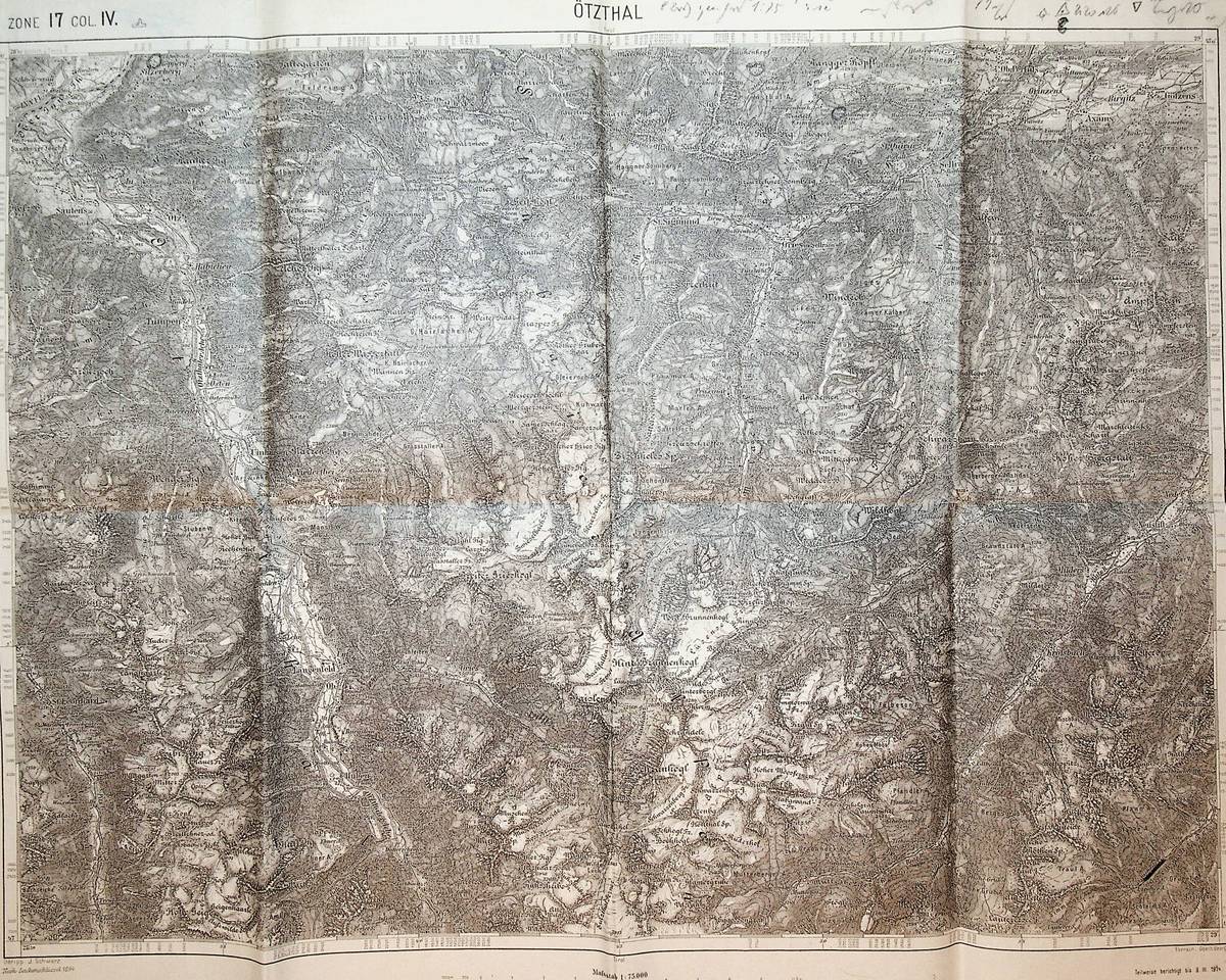
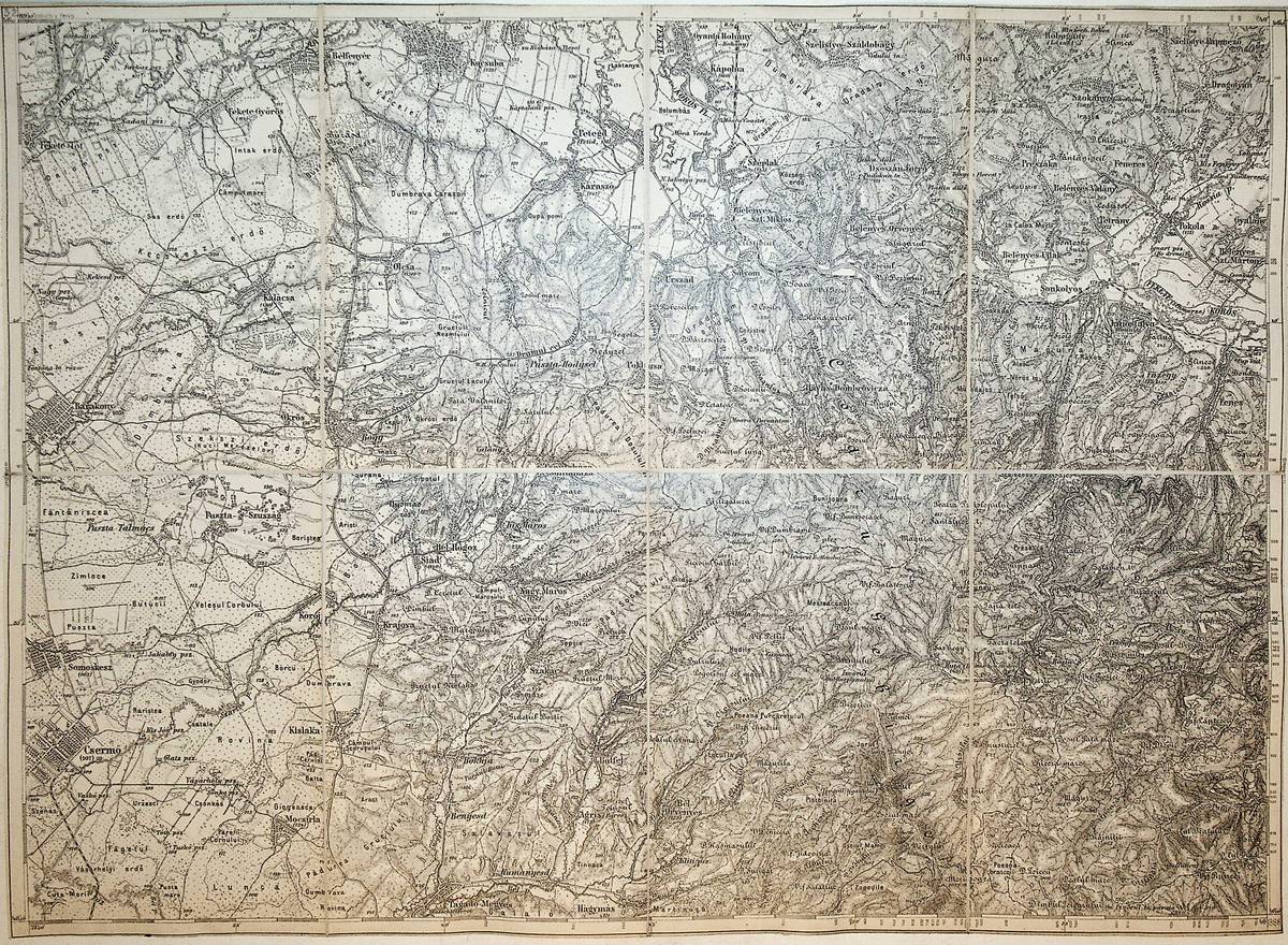
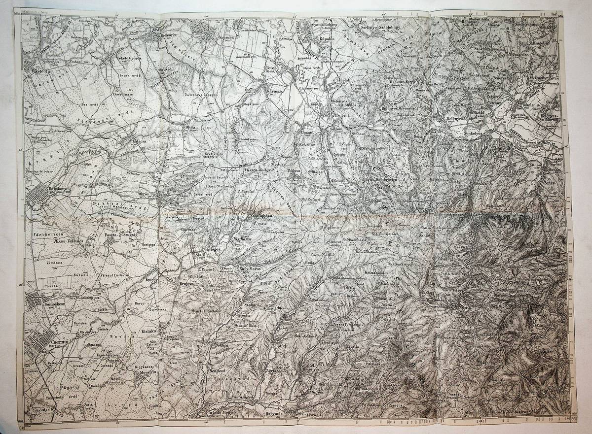
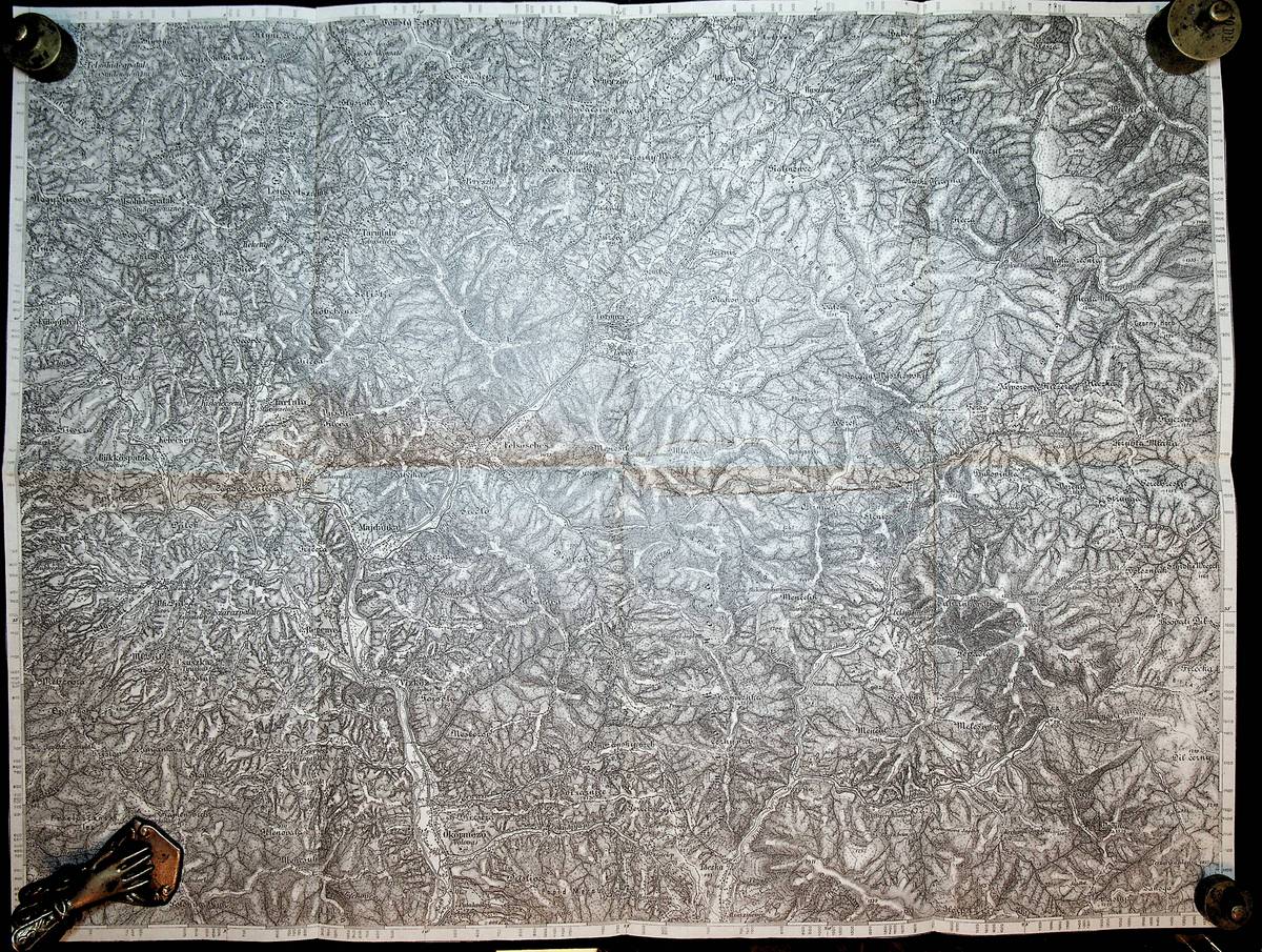
1914Best.-Nr. K-377Wien, Milit?rgeographisches Institut, um 1914. folgt der Ausgabe 1894, Formatangabe ca 50 x 37 cm, gefaltet zu 8 Segmenten ; Zustand: gut , teils mit Randnot. Am Kartenrand Bleistift
1906Best.-Nr. K-453Wien, Milit?rgeographisches Institut in Kommission bei Lechner (M?ller), 1906. Formatangabe ca 50 x 37 cm, gefaltet zu 8 Segmenten, auf Leinen aufgezogen mit aufkaschierter Legende und dem Ma?stab auf 2 Segmentr?ckseiten, Ausgabe: einf?rbig ; Zustand: gut
1888Best.-Nr. K-113Wien, Milit?rgeographisches Institut, 1888. Formatangabe ca 50 x 37 cm, gefaltet zu 8 Segmenten, Ausgabe: einf?rbig; Zustand: gut
1907Best.-Nr. K-059Wien, Milit?rgeographisches Institut, 1907. Formatangabe ca 50 x 37 cm, gefaltet zu 8 Segmenten, Ausgabe: einf?rbig; Zustand: gut,
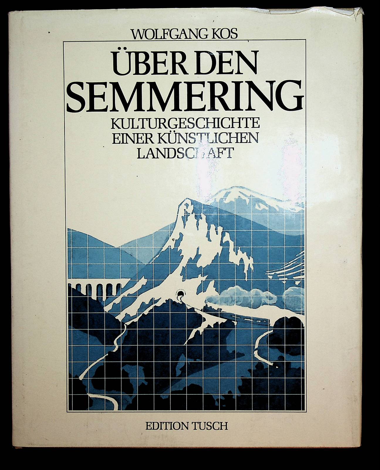
1984Best.-Nr. GD9-818Wien, Tusch, 1984. original Pappband mit original Schutzumschlag, 4?, 207 Seiten mit zahlreichen Abbildungen; Literaturverz. S. 204 - 206; Zustand: gut
1973Best.-Nr. 010305Published by Cultural Relics Press Beijing June 1973 Translations of the Introduction and Contents of The Silk Road was prepared by China Books & Periodicals San Francisco Chicago New York 1973. Hardcover. Fine/Fine. 1st edition 2nd printing June 1973 ; 8 pages 46 unnumbered leaves of plates ; 36 cm OCLC 733081332 ; large folio with 65 color plates of ancient textiles from the Xinjiang Uyghur area with an explanatory fasicle in Chinese labeled Illustrations ; also laid in is an English translation of the introduction and list of illustrations prepared by China Books & Periodicals San Francisco Chicago & New York ; only two copies held worldwide in libraries in the Australian National University and the National Gallery of Victoria ; likely a gift presented during the initial cultural exchanges between the US and China immediately after the Nixon visit to China in 1972 ; extremely scarce ; in scuffed slipcase ; FINE/FINE ??????? [Published by Cultural Relics Press ], ?? [Beijing], June 1973 ][Translations of the Introduction and Contents of The Si hardcover
Best.-Nr. 72707Paris, éd. Seuil, 1971, in-12, cartonnage souple, couv. en noir et blanc avec textes en coul. éd., 144 pp., nb. cartes en noir, bibliographie, table des chapitres, Comment fonctionne la société française sur notre territoire ? Très bon état
Best.-Nr. 4871P., Terrain Vague, Losfeld et Belfond, 1975. In-4 cartonnage éditeur sous jaquette ill., 158 pp.-[1] ff. (table), nbr. fig. en noir dans le texte.Réédition intégrale de la fameuse revue dadaïste lancée par Picabia en 1917 à Barcelone, ou l'on trouve des textes de Apollinaire, Aragon, Tristan Tzara, André Breton, Philippe Soupault, Man-Ray, Marcel Duchamp, Marie Laurencin, Magritte, etc
Best.-Nr. 72894Geste édition Parlanjhe 1997 livre étude 21,5*13,5 111 pages
2015Best.-Nr. 6320620Barsinhausen-Egestorf: [Friedrich von Oertzen] 2015. 236 S., mit schw/w u. farb. Fotogr. u. Abb., 22cm x 22cm Hardcover, Pappeinband
1956Best.-Nr. 33093ABFfm., Dresdner Monatsblätter, 1956. 8°, ca. 80 pag. S.mit zahlr. s/w-Abb., Illustr. sowie interssante oftmals illustr. Werbeanzeigen, gelbe original Kartonage (geheftet) mit Deckelwappen, der Vorderdeckel mit zeitgen. Widmung für die 'liebe Omi', sonst ein altersgemäß gutes, sauberes Exemplar (hhgla)
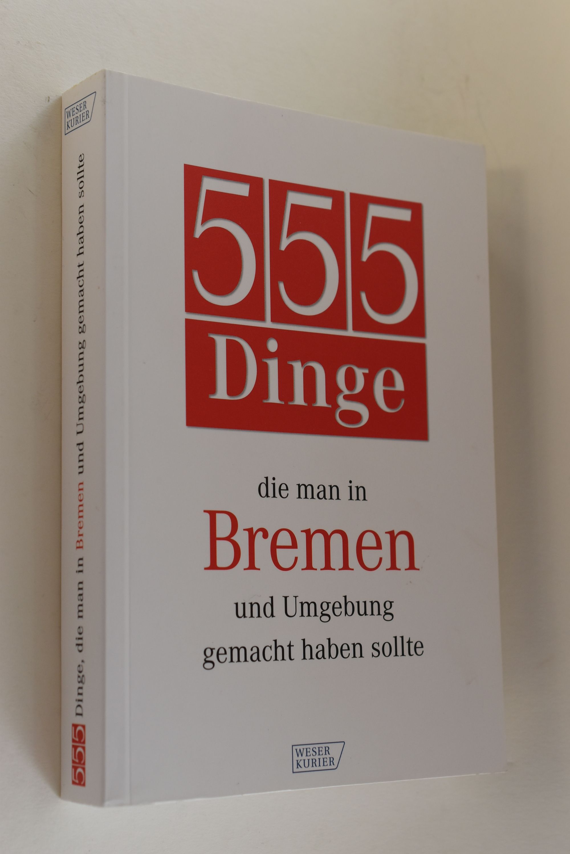
2010Best.-Nr. 74032Bremen : Bremer Tageszeitungen AG 2010. 3. Auflage 316 S. : überw. Ill., Kt. ; 19 cm Taschenbuch 0
1994Paperback Light wear on cover with some scruff marks on cover. Pages clean and neat with no tear and no highlights.
1990Best.-Nr. 664H3556British Columbia: Sooke Region Museum 1990. Book. Fine. Hardcover. Second Edition. 4to - over 9¾" - 12" tall. 213 pages. Glossary. Bibliography. Index. Black and white reproductions of archival photos. Printed upon glossy stock. The 43 chapters include such topics as Early Port San Juan Jordan River - Logging with Rail; Sooke and Otter Districts WWI; The Depression Years; Boyd & Garrison; Seaton Peatt & Eve Munns; Butlers CIP Inc.; Silviculture; and much more. Clean bright and unmarked with very light wear. A lovely copy. Sooke Region Museum Hardcover
1925Best.-Nr. 8404C[ca. 1925-1935]. Querformat. (ca. 9 x 11,9 cm). 4 Photographien. Original-Photographien mit weissem Bildrand, Rückseiten sämtlich mit Beschriftung. Photographien gut erhalten, leichte Gebrauchsspuren. Altersentsprechend guter Zustand.
farde in-4 de 36 feuillets imprimes sur papier creme + carte depliante. Très bel exemplaire, tres frais. [RB-1*][P-58-]
Best.-Nr. 13345Rouen, Le Boullenger ou Oursel, 1777 à 1793. 23 imprimés in-4 de 4 à 28 pages cousues.
Best.-Nr. 1R114um 1980. Maße: ca. zwischen 507 cm x 347 cm und 59 cm x 39 cm Maßstab: 1:10 000 Stempel auf oberem Rand/gering fleckig. - Enthalten: Quakenbrück-Lechterker Mark a Quakenbrück / Quakenbrück-Lechterker Mark b Quakenbrück-Lechterke / Grosse Mimmelager Mark / Vehser Mark a Nördlicher Teil / Vehser Mark b Südlicher Teil / Grother Mark a Grothe Westlicher Teil / Grother Mark b Grothe Östlicher Teil; Badbergen / Wulfter Mark / Wolder Mark b Südlicher Teil: Wohld / Wehdeler Mark b Mittlerer Teil: Wehdel / Wehdeler Mark c Südlicher Teil: Wehdel / Grönloher Mark a Nördlicher Teil / Grönloher Mark b Mittlerer Teil / Langer Mark a Westlicher Teil / Langer Mark b Östlicher Teil / Rüsfort-Heller Mark a Westlicher Teil: Rüsfort / Rüsfort-Heller Mark b Östlicher Teil: Rüsfort-Helle / Gehrder Mark / Grosser-Drehler Mark / Hastruper Mark / Desenberger Mark a Kleinen Drehle / Quakenbrück-Lechterker Mark c Im Mäsch - unknown
Best.-Nr. 30598Paris Ernest Flammarion In-12 355 pp, sans date vers 1910 ?
Best.-Nr. 61000Communauté d'agglomération du pays royannais 2000 divers brochure 15*21 28 pages
Best.-Nr. 72806Communauté de communes du pays Royannais 2000 livret étude 15*21 28 pages
2013Best.-Nr. 100107960Hors collection 2013 64 pages 19 8x1 2x21 2cm. 2013. Relié. 64 pages.