MareMagnum
MareMagnum

Maremagnum.com S.r.l. · Italia2,38 €
119.722 risultati
Published in 1970s, maps. eng
One colour map, no publication date. eng
19767th impression. 8vo, 138 pages, illustrated, tables, maps, fold out map of East Anglia. Good condition paperback. Numbers written in pen on front endpaper. (Concepts in geography ; 1). 39950. eng
1989287 pages, illustrated with photos by Tom Owen Edmunds, index. eng
1968Supplement to National Geographic, October 1968. eng
1980Supplement to National Geographic, December 1980. eng
1960Supplement to National Geographic, February 1960. eng
1977eng
1992Supplement to National Geographic, February 1992. eng
8vo, 16 pages, one folded plan. eng
1992Light creasing, (Cappelens Kart ; 61). eng
No publication date, scale 1: 50 000. eng
195815th edition. Near VG pbk. Previous owner's inscription on the inside front cover. School stamps. Ink mark on the back cover. (The Columbus regional geographies ; second series, book 2, part 1).14064. eng
2003pages are clean, bright and tight.
1994cover price clipped; creases on front cover; some dogeared pages; page 113 repaired with tape Used
1984rif. 1606Bern: Hallwag 1984. Mit Zeichnungen von Shaofang Kruse, 216 S., Gr.-8°, ill. OKart.,
1976Very Good Hardback. No Dust Jacket. Boards a little shelf worn particularly along bottom edges. Pages 28-32 and 220-222 have minor brown marks on, otherwise copy clean. Includes colour pictures. 252p
2002Spine a little brittle. Text clean, tight and bright. Former owner's name FEP. The fold-out map has been cut out.
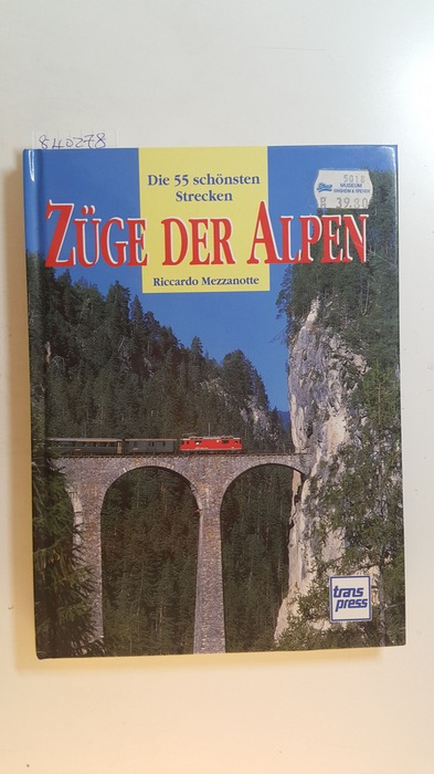
1996rif. 840278Stuttgart: Transpress. 1996. 144 S. : überw. Ill., Kt. 22 cm. Zustand: Gut bis Sehr Gut, unten ist min. wellig (Innen); Einband Außen hat keine Gebrauchsspuren; Vorderdeckel hat oben einen Aufkleber; Ppbd.
1972rif. 13635(Harmondsworth), Penguin Books, (1972). 8°. With 8 maps. 177 Seiten. Illustr. Original Broschur. (2. edition.) Wenige Seiten etwas eselsohrig.