10 841 résultats
1907242 p., qq. ill. n/b. Demi toile à coins, reliure récente. Inv. 21766
1987274 p.PACT 18, 1987. Revue du groupe européen d'érudes pour les techniques physiques, chimiques, biologiques et mathématiques appliquées à l'archéologie. Articles en français, anglais, italien. Inv. 19296.
1976477 + (1) p., (600) fig. in et hors-texte. Bel ex. bien relié. Demi percaline rouge, titre et filets dorés (reliure récente). Inv. 19025.
1997127 p., très nbr. ill. coul. Inv. 41389
1983112 p., 52 fig. n/b. Inv. 25414
44 p., 159 lots illustrés en coul. Couverture légèrement tachée. Inv. 24839 0
199855 p., ill. n/b. et coul. Inv. 24926
1885réf. 27471885 demi-rel. 4 volumes in-4, abond. illustré, Paris Journal Hebdomadaire 1885-88,
réf. 51502Paris ,1937, in-4 de 264 pages ,illustrations in-texte ,broché ,Bon état , .Isbn : 1937.(6 photos du livre sur mon site https://www.vieuxlivre.fr) .Les frais de port pour la France sont offerts à partir de 25 euros d'achat (Mondial relay ). (colissimo suivi +6,90 ).
réf. SONG0847845737Used: Good unknown
réf. DADAX1419780786New unknown
réf. DADAX030027050XNew unknown
réf. SONG1407305700Used: Good unknown
réf. DADAX0593649567New unknown
réf. SONG0199672881Used: Good unknown
réf. DADAX0500652570New unknown
réf. DADAX1616898895New unknown
réf. DADAX1529413982New unknown
réf. DADAX1665934395New unknown
réf. DADAX1665934387New unknown
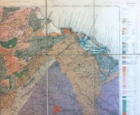
1928réf. 8956Geological Survey of Scotland 1928. Revised edition. Good. Folded map mounted on linen Covers an area mainly in Ayrshire from Ardrossan to Darvel comprising mostly Carboniferous and Triassic strata with many igneous intrusions. Geological Survey of Scotland unknown
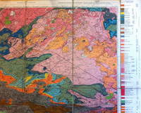
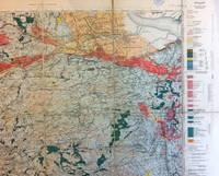
1910réf. 9032Ordnance Survey 1910. Good. Folded map mounted on linen Map in 15 segments linen-backed. Covers an area from Prestonpans to Oldhamstocks. The area consists predominantly of Silurian Devonian and Carboniferous strata with some igneous intrusions. Ordnance Survey unknown
1924réf. 9031Ordnance Survey 1924. Fair. Folded map mounted on linen Map in 18 segments linen-backed separating at two of the folds. Covers an area from Cambuslang to Grangemouth. The area consists predominantly of Carboniferous strata with some igneous intrusions. Ordnance Survey unknown
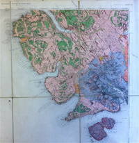
1896réf. 9033Ordnance Survey 1896. Good. Folded map mounted on linen Map in 8 segments linen-backed. Covers the south-western part of the Island of Skye including much of the Cuillin range and also Soay. The area consists predominantly of Tertiary igneous rocks. Ordnance Survey unknown
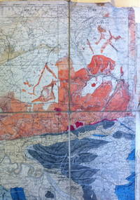
réf. 9035Ordnance Survey n.d. Fair. Folded map mounted on linen Map in 8 segments linen-backed. Covers parts of Stirlingshire and Perthshire. The area consists predominantly of metamorphic rocks with coal measures of the Carboniferous period near Alloa. This copy has evidently been used in the field as it shows considerable signs of wear and has been neatly annotated in various places with names of coal seams and in a few places other sedimentary strata. Ordnance Survey unknown