|
Aviation:
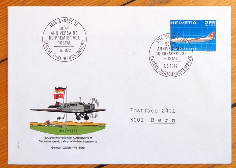
Cinquantenaire du trafic postal aérien. Genève-Zürich-Nürnberg. Enveloppe commémorative.
1972. Enveloppe au format 11,5 x 16, timbre et vignette couleurs, affranchissement philatélique, au 1er juin 1972 à Genève, à la même date à Nürnberg au dos.
Riferimento per il libraio : 4858
|
|
|
AXELMAN
Incarnations
1994 Editions Fleuve Noir, Collection "Angoisses" dirigée par Juliette Raabe N° 9 - 1994 - In-12 broché, couverture illustrée - Illustration Marc Demoulin
Riferimento per il libraio : 92336
|
|
|
Axelrod Robert
Structure of Decision: The Cognitive Maps of Political Elites (Princeton Legacy Library)
PRINCETON UNIV PR 1976 422 pages in8. 1976. Broché. 422 pages.
Riferimento per il libraio : 100138800 ISBN : 691100500

|
|
|
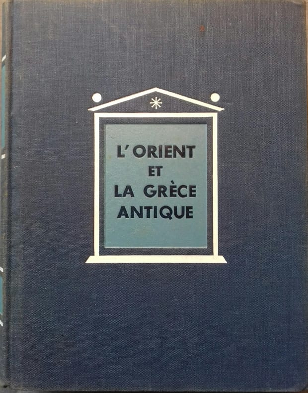
AYMARD André - AUBOYER Jeannine Illustrations en noir et blanc. Cartes, plans.
L'Orient et la Grèce antique.
Couverture rigide. Reliure de l'éditeur en toile bleue. 18 x23 cm. 701 pages.
Riferimento per il libraio : 133134
|
|
|
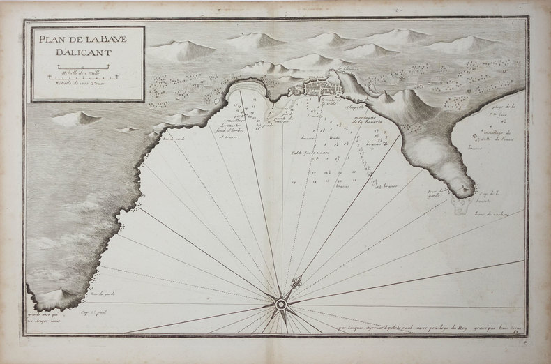
AYROUARD (Jacques).
[ALICANTE] Plan de la baye d'Alicant.
[circa 1730]. 291 x 454 mm.
Riferimento per il libraio : LBW024fc
|
|
|
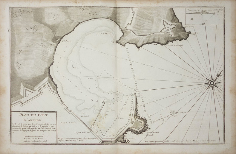
AYROUARD (Jacques).
[ANTIBES] Plan du port d'Antibe.
[circa 1730]. 297 x 452 mm.
Riferimento per il libraio : LBW-3328
|
|
|
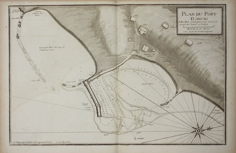
AYROUARD (Jacques).
[ANZIO] Plan du port d'Ancio.
[circa 1730]. 298 x 456 mm.
Riferimento per il libraio : LBW0029d
|
|
|
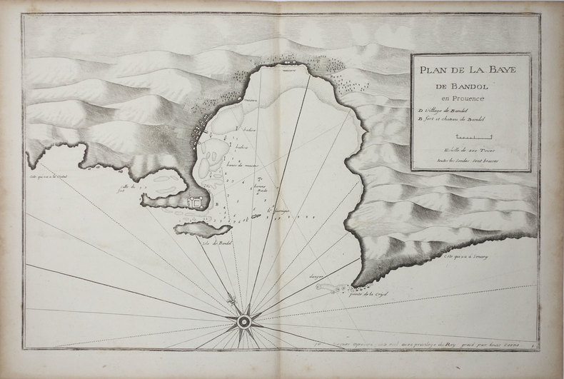
AYROUARD (Jacques).
[BANDOL] Plan de la baye de Bandol en Provence.
[circa 1730]. 297 x 455 mm.
Riferimento per il libraio : LBW004e7
|
|
|
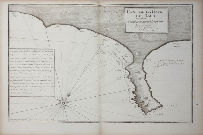
AYROUARD (Jacques).
[CATALOGNE/SALOU] Plan de la baye de Salo en Catalogne.
[circa 1730]. 290 x 447 mm.
Riferimento per il libraio : LBW024ee
|
|
|
AYROUARD (Jacques).
[CATALOGNE/SANT FELIU] Plan de la baye de St. Philiou en Catalogne.
[circa 1730]. 285 x 442 mm.
Riferimento per il libraio : LBW024ef

|
|
|
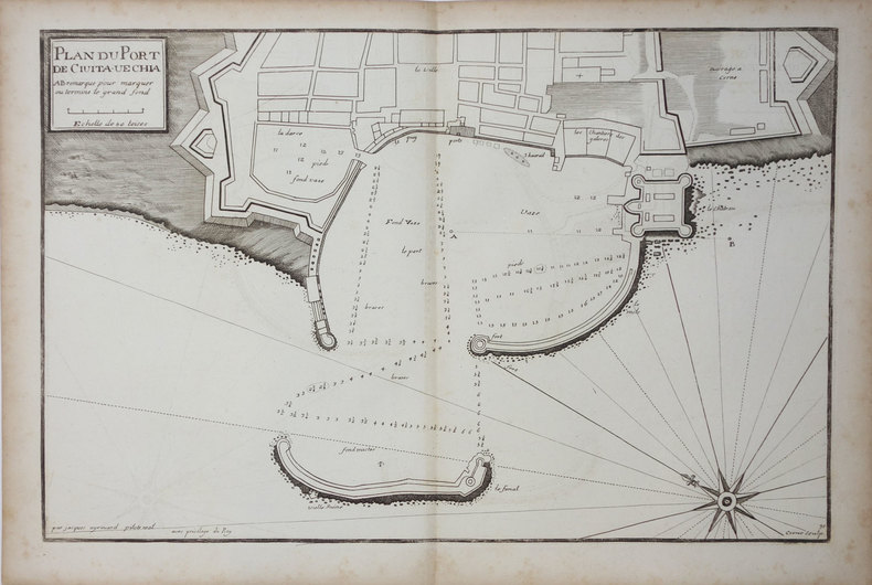
AYROUARD (Jacques).
[CIVITAVECCHIA] Plan du port de Civita-Vechia.
[circa 1730]. 290 x 456 mm.
Riferimento per il libraio : LBW0027e
|
|
|
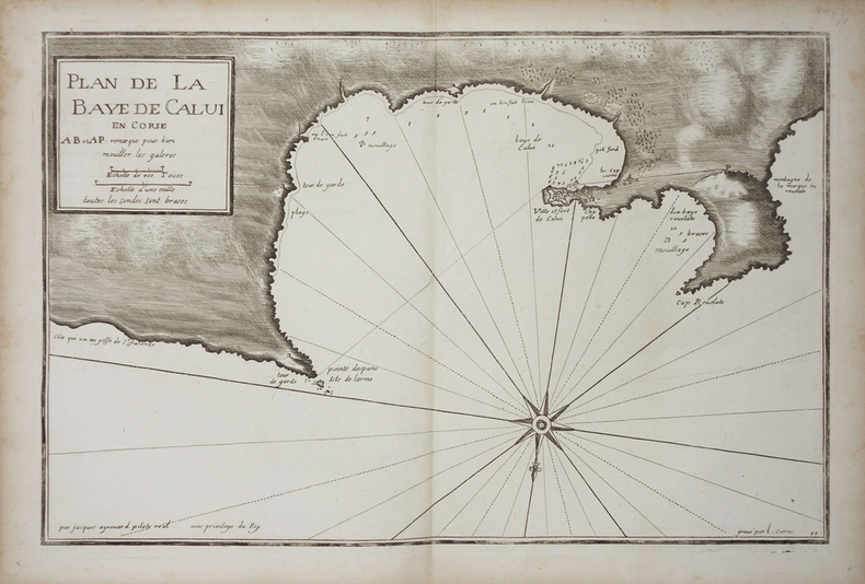
AYROUARD (Jacques).
[CORSE/CALVI] Plan de la baye de Calvi en Corse.
[circa 1730]. 287 x 450 mm.
Riferimento per il libraio : LBW002c0
|
|
|
AYROUARD (Jacques).
[CORSE/SAINT-FLORENT] Plan du golfe de St. Fiorenzo en lisle de Corse.
[circa 1730]. 298 x 456 mm.
Riferimento per il libraio : LBW-3329

|
|
|
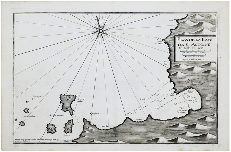
AYROUARD (Jacques).
[IBIZA] Plan de la baye de S.t Antoine en lisle d'Ivice.
[circa 1730]. 289 x 450 mm.
Riferimento per il libraio : LBW-6149
|
|
|
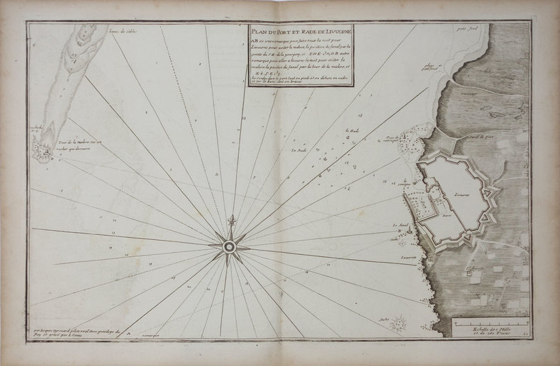
AYROUARD (Jacques).
[LIVOURNE] Plan du port et rade de Livourne.
[circa 1730]. 290 x 450 mm.
Riferimento per il libraio : LBW0025b
|
|
|
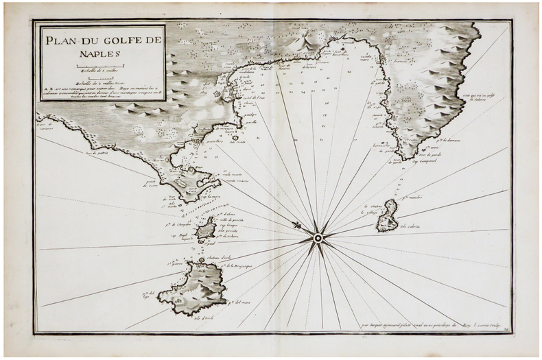
AYROUARD (Jacques).
[NAPLES] Plan du golfe de Naples.
[circa 1730]. 290 x 445 mm.
Riferimento per il libraio : LBW-6850
|
|
|
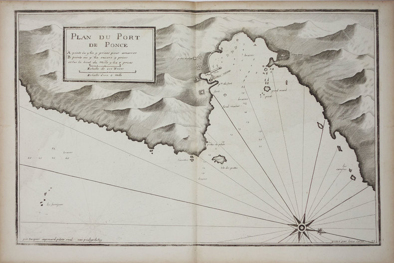
AYROUARD (Jacques).
[PONZA] Plan du port de Ponce.
[circa 1730]. 299 x 457 mm.
Riferimento per il libraio : LBW002c9
|
|
|
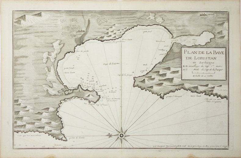
AYROUARD (Jacques).
[SARDAIGNE] Plan de la baye de Loristan.
[circa 1730]. 290 x 450 mm.
Riferimento per il libraio : LBW00269
|
|
|
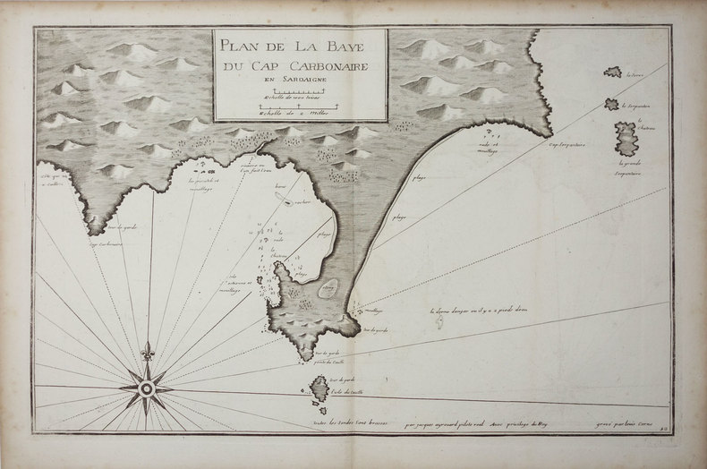
AYROUARD (Jacques).
[SARDAIGNE] Plan de la baye du cap Carbonaire en Sardaigne.
[circa 1730]. 290 x 450 mm.
Riferimento per il libraio : LBW0025a
|
|
|
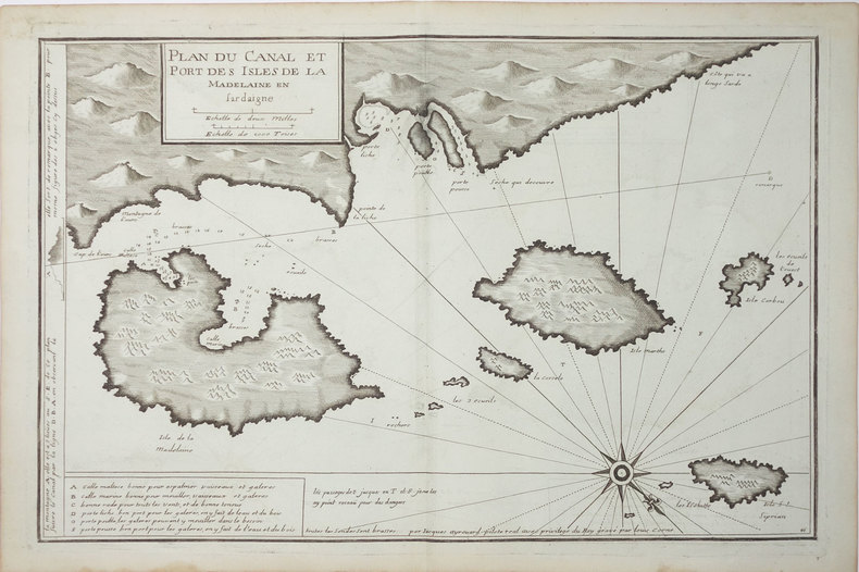
AYROUARD (Jacques).
[SARDAIGNE] Plan du canal et port des isles de la Madelaine en Sardaigne.
[circa 1730]. 293 x 454 mm.
Riferimento per il libraio : LBW-3327
|
|
|
AYROUARD (Jacques).
[SARDAIGNE] Plan du passage entre lisle Azinara et le cap Azinara de Sardaigne.
[circa 1730]. 291 x 452 mm.
Riferimento per il libraio : LBW0025f

|
|
|
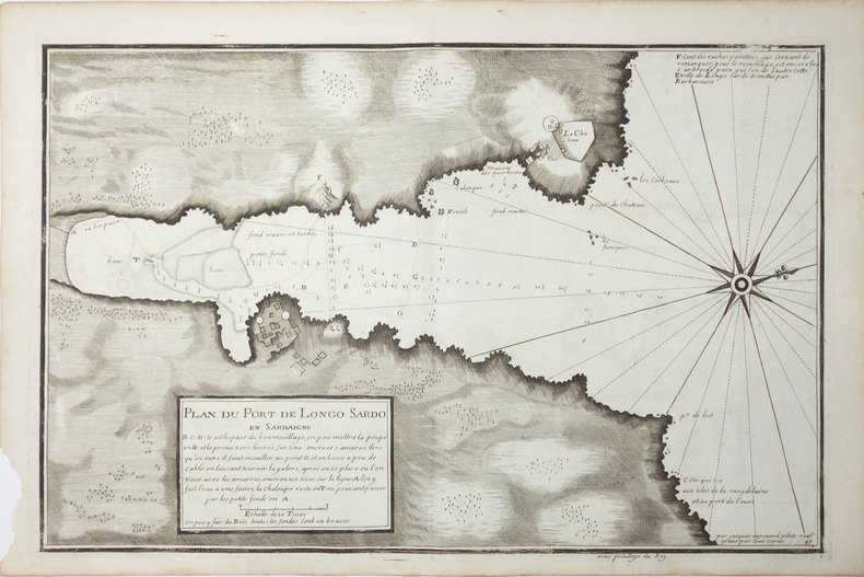
AYROUARD (Jacques).
[SARDAIGNE] Plan du port de Longo Sardo en Sardaigne.
[circa 1730]. 292 x 452 mm.
Riferimento per il libraio : LBW00267
|
|
|
AYROUARD (Jacques).
[ST-TROPEZ] Plan du golfe et des caps de St. Tropez.
[circa 1730]. 299 x 457 mm.
Riferimento per il libraio : LBW004e9

|
|
|
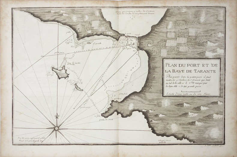
AYROUARD (Jacques).
[TARANTO] Plan du port et de la baye de Tarante.
[circa 1730]. 290 x 452 mm.
Riferimento per il libraio : LBW0027f
|
|
|
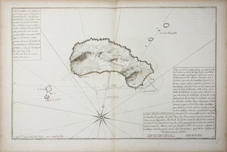
AYROUARD (Jacques).
[TUNISIE] Isle Galita.
[circa 1730]. 299 x 457 mm.
Riferimento per il libraio : LBW01b45
|
|
|
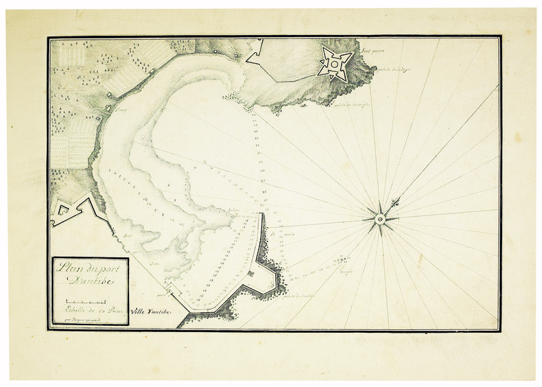
AYROUARD (Jacques). MANUSCRIT.
Plan du port d’Antibe.
[circa 1750]. 304 x 458, monté sur papier fort.
Riferimento per il libraio : LBW-4142
|
|
|
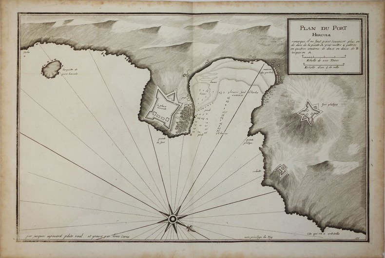
AYROUARD (Jacques);
[PORTO ERCOLE] Plan du Port Hercule.
circa 1730 296 x 458 mm.
Riferimento per il libraio : LBW00259
|
|
|
Azelt Johann (1654 -?)
Barhaste abbildung de unnergleichlichen statt Rom…
Rarissima veduta panoramica della città da Monte Mario, edita a Francoforte da Johann Azelt verso la fine del XVII secolo. "In questa stampa gli edifici sono ben poco riconoscibili ed il Tevere segue un errato percorso sotto Trinità dei Monti, riproponendo un errore comune a molti panorami di quest'epoca editi nel nord Europa ed evidentemente copiati uno dall'altro.. Il prototipo iniziale per questa tipologia di panorami è identificabile nel panorama inciso da Israel Silvestre nel 1642" (cfr. Marigliani p. 199). Incisione in rame, in perfetto stato di conservazione. Rarissima. A very rare panoramic view of the city from Monte Mario, published in Frankfurt by Johann Azelt towards the end of the 17th century. In this print the buildings are hardly recognisable and the Tiber follows a wrong path under Trinità dei Monti, repeating an error common to many panoramas of this period published in northern Europe and evidently copied from one another. The initial prototype for this type of panorama can be identified in the panorama engraved by Israel Silvestre in 1642"(cf. Marigliani p. 199). Copper engraving, in perfect condition. Very rare. Marigliani, "Le Piante di Roma nelle collezioni private" p. 199, 104 (erroneamente attibuita).

|
|
|
AZIZ OGAN, (One of the first Turkish archaeologists andthe founder of the Izmir Archaeological Museum and the director of Istanbul Archaeological Museums), (1888-1956).
Typescript document signed 'Aziz Ogan'.
Very Good Turkish Original TLS document signed 'Aziz Ogan' as 'the general director of Istanbul Archaeological Museums'. 32,5x21 cm. In Turkish. 1 p. Full. Typescript document with autograph corrections and signature. Including request of the photographs of listed 25 Seljuk and Ottoman architectural buildings such as mosques, fountains, hans, tombs etc. Dated 12-9-1939. Addressed to Nuri [Ebussuudoglu from the member board of the Turkish Antiquities Protection Council. Letterhead 'TC Istanbul Müzeleri Genel Direktörlügü' [i.e. The General Directory of Istanbul Museums]. Ogan was a Turkish archaeologist and museologist. He was the one of the earliest archaeologists of the Turkish Republic. He founded Izmir Archeology Museum and was the director of Istanbul Archeology Museums. He is the father of the first Turkish female archaeologist Jale Inan.
|
|
|
B.C. Hydro and Power Authority Gas Engineering Division
Corridor and Route Nomination for Vancouver Island Natural Gas System
22 pages plus 6 large, detailed fold-out maps. Summary volume of a report entitled 'Corridor and Route Nomination for Vancouver Island Natural Gas System' which described B.C. Hydro's proposed project to provide natural gas service to Vancouver Island residents and industry. Explains the reasons for nomination of a preferred corridor, and preferred route within that corridor, for a natural gas pipeline to and on Vancouver Island. This summary provides basic technical, environmental, and land use information on the routing B.C. Hydro nominated. Contents include: Introduction - Natural Gas for Vancouver Island; Reasons for the Project; Initial Route Studies; Corridor Nomination; Route Nomination; Public Consultation. Maps entitle: Existing Natural Gas Fields and Transmission Lines in B.C.; Major options for Gas Transmission System to Serve Southwestern B.C.; Bathymetry of Georgia Strait and Other Features Affecting Location of Submarine Pipelines; Factors Affecting Corridor Location; Proposed Gas Distribution Areas; Important Environmental Concerns with Nominated Corridor and Route. Unmarked. Very light wear. Excellent copy. Book
|
|
|
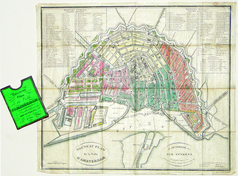
BAARSEL (Willem Cornelis van).
[AMSTERDAM] Nouveau plan de la ville d'Amsterdam.
Amsterdam, Joh. Guykens, 1839. 335 x 385 mm, imprimé sur soie et replié dans son étui d'éditeur.
Riferimento per il libraio : LBW-2777
|
|
|
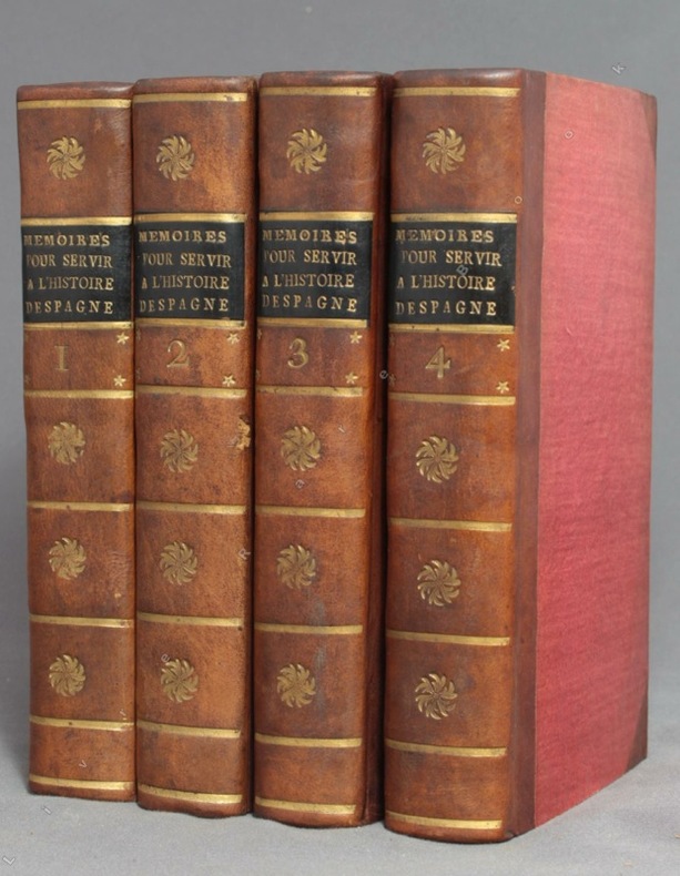
BACALLAR Y SANNA Vincent, Marquis de Saint-Philippe; [MEDAVE Louis Laurent de Féderbe comte de (trad.)]:
Mémoires pour servir à l'histoire d'Espagne, sous le règne de Philippe V. Traduits de l'espagnol.
A Amsterdam, Chez Zacharie Chatelain, 1756. 4 volumes in-12 de [8]-XXXIV-405; [2]-IV-483; [4]-437 et [4]-495 pages, demi-veau brun à coins, dos lisses ornés de fleurons, filets, étoiles et tomaison dorés, étiquettes de titre noires, tranches jaunes. Tout petit choc au dos du tome 2, rares rousseurs. Le relieur a inversé les faux-titres des volumes 3 et 4.
Riferimento per il libraio : 9756
|
|
|
Bachelier Charles Claude
Rome Vue Prise du Monte-Pincio/Roma Vista tomada del Monte-Pincio
Stampa litografica originale eseguita alla matita, impressa in nero e ocra, dalla bella acquerellatura coeva e con rialzi di vernice à la gomme. Sotto la parte figurata didascalie degli edifici principali della raffigurazione, indicazione dello stampatore e del litografo, nonché titolo in francese e in spagnolo. Al di sopra dell'immagine, titolo della serie di cui il foglio fa parte. Ampia veduta prospettica di Roma, colta dal Pincio, con un'accurata descrizione di Piazza del Popolo in primo piano e con la cupola di San Pietro sull sfondo. La tavola è edita a Parigi da Turgis nel 1860 circa.Charles Claude Bachelier abile artista francese paesaggista e litografo, attivo a Parigi dove espose ai Salons del 1834, 1836 e 1852. Esemplare in ottimo stato conservativo, con bellissima coloritura d'epoca. Original lithograph executed in pencil, engraved in black and ocher, in original colors.Under the image, some captions of the of the main buildings represented; the name of the printer and the lithographer, and title in French and Spanish. On top of the image, the title of the series. Large perspective view of Rome, captured from the Pincio, with an accurate description of the Piazza del Popolo in the foreground, and the St. Peter dome in the background. The plate was published in Paris by Turgis in about 1860.Charles Claude Bachelier, a French landscape artist and litograpgher, active in Paris where he exhibited at the Salons of 1834, 1836 and 1852.Example in very good condition.

|
|
|
BACHMANN (John).
[VERSAILLES] Palais et jardins de Versailles.
Paris, Lemiere, [1840]. 460 x 560 mm.
Riferimento per il libraio : LBW-6516

|
|
|
BACON G.W.
Bacon's New Map of Central London. Divided into Half Mile Squares and Circles. Scale: Four Inches to the Mile. A RARE SURVIVAL
Folding engraved map printed on fine ivory linen, size: 21 x 28 ins (approx. 53.0 x 71.0 cms) folding in 36 panels to 6 x 3 ins (approx. 15.o x 7.5 cms), printed surface very lightly browned (rather more heavily so along central fold), a few locations marked with red ink ; original green cloth slip-case framed in blind and lettered in black 'Flexible Map of London' with deckled thumb-hole, a very good, bright copy. Covers the area from Islington (north) to Oval (south); Notting Hill (west) to Stepney (east). IN THIS CONDITION A RARE SURVIVAL. Hyde, 'Printed Maps of Victorian London', no. 201.

|
|
|
Bacon, Mary Ellen; line drawings/photos/maps [Illustrator]
Albany on the Flint - Indians to Industry 1836-1936
Colonial Dames of America 1970-01-01. Hardcover. Very Good. Signed by Author. Nice looking book has minor edge wear. Colonial Dames of America hardcover
Riferimento per il libraio : 2433190324008
|
|
|
Bacon, Walter and Photos and Maps
Highway to the Wilderness
Hardcover. Very Good. Jacket is Good with moderate wear and tear book is Very Good with light wear clean yellowed pages firm binding. hardcover
Riferimento per il libraio : F3-KKRA-KN67
|
|
|
Bad Bentheim (Grafschaft):
Kolorierte Kupferstichkarte nach Johannes Westenberg "Comitatus Bentheim et Steinfurt".
37,5 x 49,5 cm. Blattgröße: 46 x 59 cm. *Schön koloriertes Exemplar mit dekorativen Kartuschen (mit 2 Wappen), - Zeigt die Grafschaften Bentheim und Steinfurt. - Sauber und sehr gut erhalten, breitrandiges Exemplar. Landkarten de
|
|
|
BAEDEKER K.:
Italie. Manuel du voyageur. Première partie : Italie septentrionale jusqu'à Livourne, Florence et Ravenne et les routes menant de France, de Suisse et d'Autriche en Italie.
Leipzig & Paris, Karl Baedeker & Paul Ollendorff, 1884. 1 vol. in-8 de LIV-432 p., pleine percaline saumon d’éditeur (tachée) orné de filets à froid, titre doré, dos lisse, orné à froid avec titres dorés, tranches marbrées, signet. Charnières intérieures fatiguées.
Riferimento per il libraio : 6117
|
|
|
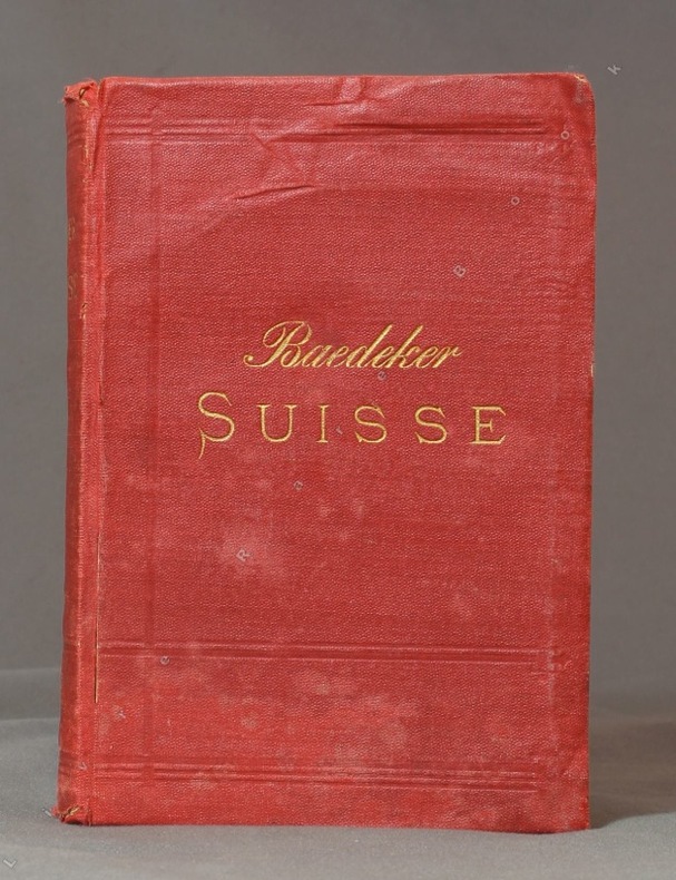
BAEDEKER K.:
La Suisse et les parties limitrophes de l'Italie, de la Savoie et du Tyrol. Manuel du voyageur. Quinzième édition revue et corrigée.
Lepzig, Karl Baedeker, 1885. In-12 de XXVIII-504 pages, pleine percaline rouge, titre doré au dos et au premier plat. Mors fendus, reliure tachée et frottée, 1ère charnière faible, petite déchirure sans perte aux premiers feuillets.
Riferimento per il libraio : 10223
|
|
|
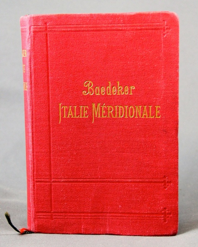
BAEDEKER K:
Italie méridionale. Sicile, Sardaigne et excursions à Malte, Tunis et Corfou. Manuel du voyageur.
Leipzig & Paris, Karl Baedeker & Paul Ollendorff, 1903. 1 vol. in-8 de L-440 pages, pleine percaline rouge d’éditeur ornée de filets à froid, titre doré, dos lisse, orné à froid avec titres dorés, tranches marbrées, 2 signets. Tampon de possesseur sur page de titre.
Riferimento per il libraio : 6116
|
|
|
BAEDEKER K:
Italie septentrionale jusqu'à Livourne, Florence et Ravenne. Manuel du voyageur.
Leipzig & Paris, Karl Baedeker & Paul Ollendorff, 1904. 1 vol. in-8 de LX-580 p., pleine percaline rouge d’éditeur orné de filets à froid, titre doré, dos lisse, orné à froid avec titres dorés, tranches marbrées, 2 signets. Nom de possesseur sur garde.
Riferimento per il libraio : 6115
|
|
|
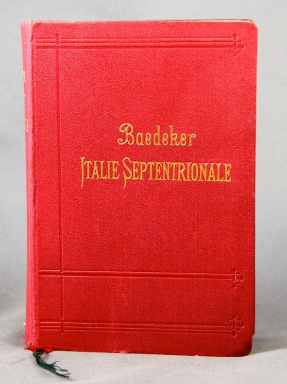
BAEDEKER K:
Italie septentrionale jusqu’à Livourne, Florence et Ravenne. Manuel du voyageur.
Leipzig, Karl Baedeker, 1899. In-8 de LVI-516 pages, pleine percaline rouge d’éditeur, dos lisse orné à froid. Légers accrocs aux extrémités du mors du 1er plat, quelques notes dans les marges.
Riferimento per il libraio : 2303
|
|
|
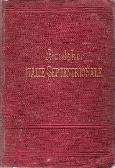
BAEDEKER Karl
Italie Septentrionale jusqu'à Livourne , Florence et Ravenne : Manuel Du Voyageur
Leipzig / Paris Karl Baedeker 1895 In 16 Reliure en percaline bordeaux , frappée en creux en lettres dorées . Tranches jaspées . Collection " Guides Baedeker " . 14ème édition avec 24 cartes et 27 plans de villes , 23 plans en couleurs . Une introduction donne un aperçu des uses et coutumes du pays , des mesures d'hygiène , des transports , et présente les arts en Italie . Les cartes et plans dont certains dépliants sont en très bon état . ( Pour les autres guides de cette collection taper l'éditeur en mot clé ) . - 478 p. , 550 gr.
Riferimento per il libraio : 015238
|
|
|
BAEDEKER Karl
Italie Septentrionale jusqu'à Livourne , Florence et Ravenne : Manuel Du Voyageur
Reliure en percaline bordeaux , frappée en creux en lettres dorées . Tranches jaspées . Collection " Guides Baedeker " . 14ème édition avec 24 cartes et 27 plans de villes , 23 plans en couleurs . Une introduction donne un aperçu des uses et coutumes du pays , des mesures d'hygiène , des transports , et présente les arts en Italie . Les cartes et plans dont certains dépliants sont en très bon état . ( Pour les autres guides de cette collection taper l'éditeur en mot clé ) . - 478 p. , 550 gr.

|
|
|
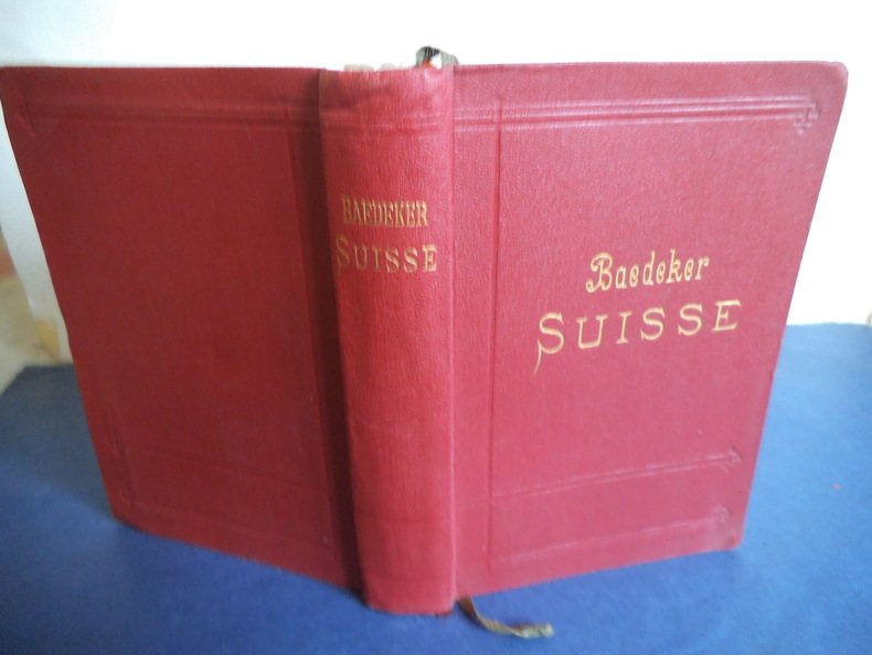
BAEDEKER Karl
La Suisse
et les paries limitrophes de la Savoie et de l’Italie. Manuel du voyageur. In 12 pleine toile rouge de l’éditeur, titre doré, au dos et sur le premeir plat. Faux-titre, titre, carte dépliante, dela Suisse, en couleurs, en frontispice, titre, 577 pages, tranches marbrées, nombreuses cartes, plans et panoramas, la plupart dépliants.Leipzig-Paris 1909. Bon exempalaire
Riferimento per il libraio : 8423
|
|
|
BAEDEKER Karl
La Suisse et les parties limitrophes de l'Italie,de la Savoie et du Tyrol.
Manuel du voyageur.Edition revue et corrigée,38 cartes,11 plans,11 panoramas Leipzic.Karl BAEDEKER éditeur,Paul OLLENDORFF Paris 1889.In 12 pleine toile brique de l'éditeur titre au dos et sur le premier plat,tranches marbrées,Faux titre,titre XXVIII-516 pages,110x160mm. Quelques traces d'usures sans gravité,bon état d'ensemble
Riferimento per il libraio : 14878

|
|
|
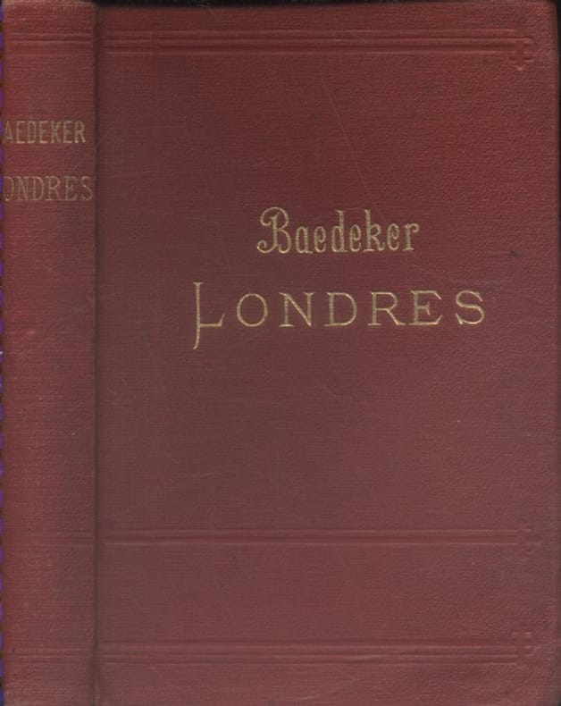
BAEDEKER Karl Avec 4 cartes et 38 plans.
Londres et ses environs. Manuel du voyageur. 11e édition.
Couverture rigide. Reliure toile de l'éditeur. 372 pages.
Riferimento per il libraio : 133841
|
|
|
BAEDEKER Karl:
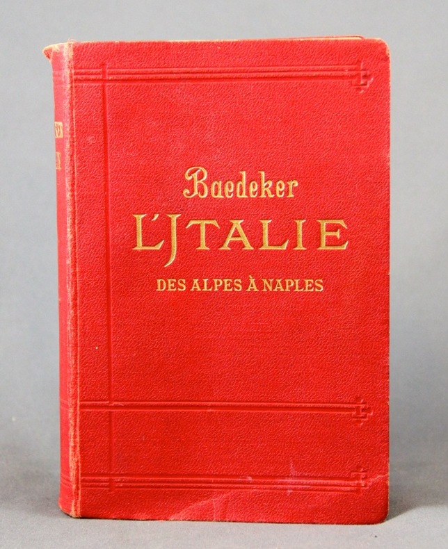
L’ Italie. Des Alpes à Naples. Manuel abrégé du voyageur.
Leipzig, Karl Baedeker, 1909. 1 vol. in-8 de XLIV, 455 p. pleine percaline rouge d’éd., dos lisse, orné à froid, tranches marbrées. Petits accrocs aux coiffes.
Riferimento per il libraio : 2305
|
|
|
BAEDEKER Karl:
Südbayern, Tirol, Salzburg, Ober- und Nieder-Österreich, Steiermark, Kärnten und Krain. Handbuch für Reisende. Fünfunddreissigste Auflage.
Leipzig, Karl Baedeker, 1912. In-12 de XXVI-682 pages, couverture souple de percaline rouge ornée de filets à froid, titre doré au dos et au premier plat, tranches marbrées. Nom de possesseur au titre.
Riferimento per il libraio : 10247

|
|

 Ricevere i risultati per e-mail
 Scaricare i risultati in PDF
 RSS feed
 Link
Link


