|
Weltatlas &[und] Länderlexikon : [alle Staaten d. Erde in ausführl. Artikeln, dataillierte Kt., farbenprächtig bebildert, Zeitleiste d. Weltgeschichte] / Hg.: Jill Baker... - Übers. [aus d. Engl.]: Gabriele Horvath...
Königswinter : Tandem-Verl., 2009. XXI, 612 S. : zahlr. Ill. u. Kt. Gr. 8°. Sonderausg. Geb. in weichem ill. Einband.
Referenz des Buchhändlers : 30196
|
|
|
Weltatlas 2000 : das neue Kartenwerk.
Stuttgart : Dt. Bücherbund, c 1977. 252 S. : Ill., überw. Kt. 2°. Dt. Ausg. - 4., aktualis. u. bearb. Aufl. OLwd mit SU.
Referenz des Buchhändlers : 32216
|
|
|
Weltatlas von heute.
Köln : Buch-u.-Zeit-Verl.-Ges., o.J. [ca. 1970]. 72, 37 S. : überw. Kt. Gr. 4°. 7. Aufl. OHLwd. mit ill. Einbd.
Referenz des Buchhändlers : 10795
|
|
|
Weltatlas.
Berlin., Rudolf Reiss., 1936. 63 vollständig neu gezeichnete Haupt- und Nebenkarten, 50 diagrammen, Spezialkarten,Tabellen und Zeichnungenmit ausführlichen Text und Statistiken sowie vollständigem amphabetischen Register. Bearbeitet von Dr. Muris und Otto Wand. Sonderauflage 1936. 168S. Namensstempel, Namenseintrag mit Adresse auf dem Vorsatz. 8°. OHalbleinen.
Referenz des Buchhändlers : 015163
|
|
|
Weltatlas.
München, Karl Wenschow GmbH, o. J. o. S. 4° Quart, Softcover/Paperback
Referenz des Buchhändlers : 102940

|
|
|
Weltatlas. Die Staaten der Erde und ihre Wirtschaft.
VEB Bibliographisches Institut, Leipzig 1952. 4 Bl., 97 farbige Karten u. 63 S. Register. Quer-4°. Hln. Kanten etwas berieben. Text gebräunt, mehrere Bl. im Rand verknickt. Mehrere Bleistiftanmerkungen. Gutes Exemplar.
Referenz des Buchhändlers : 9475
|
|
|
Weltatlas. Taschenausgabe.
Braunschweig, Kartogr. Anstalt Georg Westermann, o. J. 24 Tafn. + 54 S. 8° Oktav, Hardcover/Pappeinband
Referenz des Buchhändlers : 89610

|
|
|
Weltwirtschaftsatlas.
Brausnchweig., (Georg Westermann....). Überreicht durch die Esso A.G.. 67 Karten auf ca. 40 Seiten, 20 Seiten Text (Register und Erläuterungen). Ohne Jahr, zwischen 1955 und 1960. Zustand: Aus einer Institutsbibliothek ausgeschieden, Einband und Titelblatt mit Bibliotheksstempel, obere Einbandkante 0,5cm eingerissen. 4°. OLeinen.
Referenz des Buchhändlers : 047495
|
|
|
Westentaschen-Atlas der Erde.
Leipzig, Kartographische Anstalt F. A. Brockhaus, o. J. 26 S. 12° Duodez, Softcover/Paperback
Referenz des Buchhändlers : 102702

|
|
|
Westermann Weltatlas
Braunschweig, Westermann, 1994. Pappeinband 4° 0
Referenz des Buchhändlers : 001762
|
|
|
Westermann-Lexikon der Geographie : WLG / hg. von Wolf Tietze... - Red.: Klaus Höller...
Braunschweig : Westermann, 1968 - 1972. 5 Bde I - V (inkl. d. Registerband). 983, 936, 1104, 1096, 231 S. : Ill., graph. Darst., Kt. 4°. Bibl.- Einbd.
Referenz des Buchhändlers : 39815
|
|
|
Westermanns Atlas zur Weltgeschichte. Bearbeitet von Adolf Liebers u.a.
Georg Westermann, Braunschweig, 1923. 14. Auflage, 4° quer, ca. 22 x 15 cm, Halbleinen
Referenz des Buchhändlers : 31280

|
|
|
Wirtschafts-Atlas der deutschen Kolonien. Hrsg. v.d. Kolonial-Wirtschaftlichen Komitee e.V.
Druck: Mittler, Bln. ca. 1910. Mit 10 farbigen Karten. Folio. 7,10,5 Bll. Unpag. OHlwd. Berieben. 1 Lage neu eingehängt. Gutes Exemplar. 2., verbesserte Aufl.
Referenz des Buchhändlers : 46724
|
|
|
Wissenschaftliche Veröffentlichungen des Deutschen Instituts für Länderkunde / hg. von Edgar Lehmann...
Leipzig : Bibliograph. Inst., 1952 - 1970. 24 x 17 x 30 cm. Gr. 8°. Neue Folge. OBroschur bzw. OKartenmappen mit einliegenden losen Kt.
Referenz des Buchhändlers : 31625
|
|
|
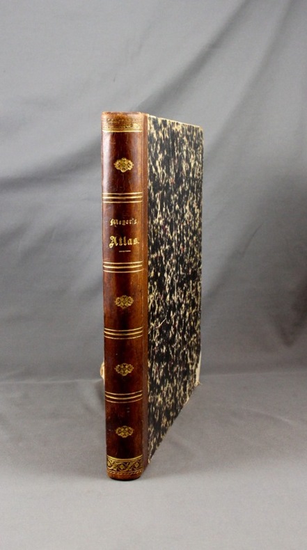
Zeitungs-Atlas für Alte & Neue Erdkunde.
Hildburghausen, Bibliographischen Instituts, sans date. In-4 de 120 planches, demi-basane marron, dos lisse orné de fleurons dorés, coiffes frottées, coins inf. de chaque plat largement frottés.
Referenz des Buchhändlers : 2058
|
|
|
Zhonghua Renmin Gongheguo Fen Sheng Dituji
Zhongguo Beijing ( PEKIN) Ditu Chubanshe 1977 GRAND In-8 169 p, ( Hanyu Pinyinban ) cartes en couleurs, titre doré estampés sur le 1er plat et au dos, légers frottis d'usage ; jaquette couleurs, frottis sur les coiffes et une déchirure sans manque sur un rabat.
Referenz des Buchhändlers : 10861
|
|
|
Zhonghua Renmin Gongheguo Fen Sheng Dituji (Hanyu Pinyinban).
Zhongguo Beijing, Ditu Chubanshe, (1977). 8°, 4 Bl., 51 double pages (maps), 169 p. (index), publisher's hardbound red cloth spine, gilt title, 1 ban Beijing di 2 ci yinshua corners sl bumped, tight and clean, well cared,
Referenz des Buchhändlers : 27471AB

|
|
|
Zhonghua Renmin Gongheguo Fensheng Dituji.
Beijing, Ditu Chunbanshe, 1974. In-4, bradel demi-percaline rouge d’éditeur, plats cartonnés papier rouge, titre doré, 51 cartes en couleurs, certaines sur double page, suivies d’un index de 169 pp.
Referenz des Buchhändlers : 542067
|
|
|
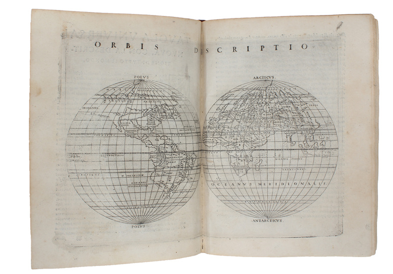
"ATLAS - PTOLEMAEUS, CLAUDIUS (PTOLEMY, C.).
La Geografia di Claudio Tolomeo Alessandrino, Già tradotte di greco in italiano da M. Giero. Ruscelli: & hora in questo nuoua editione da M. Gio. Malomba ricoretta, & purgata d'infiniti errori: come facilmente nella Prefatione a Lettori può ciascuno... - [DEPICTING THE WORLD]
Venetia (Venice), Giordano Ziletti, 1574-(73). 4to. Hcalf from ab 1820. Gilt back. Slight rubbing to spine. (78),350 pp. and 65 double-page engraved maps with text on verso of plates (130) pp,56,65 pp. 6 textlvs. at end with brownspots in right margin, sometimes a little browning to pages, few brownspots and a few textlvs. with minor wormtracts. Complete with all 65 maps called for, each measuring ab. 19 x 26 cm. A great part of the maps have some background shadowing from the printers ink, mainly due to the fact, that this is the third Ruscelli-edition, where the plates have been used before. 3 printer's wood-cut devices and 20 smaller and larger woodcuts in the text. 2 woodcuts with Ptolemy shown observing.
Referenz des Buchhändlers : 18848
|
|
|
"ATLAS - GLASER, CURT.
(Vollständiger Atlas über alle Theile der Erde).
Darmstadt, Litho. Anst. Fromann, 1836-38 (40). Folio-oblong. (39,5 x 51 cm.). Contemp. hcalf. Spine worn. Corners weared down. With 37 outlinecoloured lithographed maps. Numbered II-XXXVI (Titlepage numb. I lacks, and 2 extra maps numbered XXVIII b and XXXI b present (XXXI b, dated 1840), most of the other maps dated 1836, 1837 a. 1840). The maps having, sometimes rather heavely, dampstaining throughout. 2 maps with closed tears. A map added, not belonging to the atlas ""Charte und Meilenzeiger Daenemark mit Schleswig. Holstein. Lauenburg. Entworfen von Euard v. Grubl. Flensburg 1837"". Some brownspots and a bit of lower right corner gone.
Referenz des Buchhändlers : 59541
|
|
|
"ATLAS - HOLM, S.E.
(Samling af Smaae Landkort i Træsnit til Brug for Skolerne paa Landet).
Uden Sted, ca. 1818-30. Lille 4to. (19,5x17 cm). Beskedent hshirtbd. Indre false itu, men blokken som består af kortbladene intakt. Indeholder 44 af Holms kortblade, skårne i træ og herefter grænsekolorerede i hånden. Her og der med lidt brunpletter og brugsspor. Et kort med rift, repareret uden tab. Et kort med lidt tab i øverste venstre hjørne.
Referenz des Buchhändlers : 32926
|
|
|
"ATLAS - PREUSSEN - WEILAND, C.F.
Collection of 5 steel-engraved maps of ""Charte von der Königlichen Preussichen Provin(zen)...Entworfen von C.F. Weiland.
Weimar, in Verlage des Geographischen Instituts, 1825-28. Folio. Each 49x60 cm. 5 steel-engraved maps depicting the 5 parts of Prussia. All Handcoloured in outline. Cont. blank wrappers, wrappers partly lost. All maps with broad margins with use and tears, one tear reaching engraved surface. Some soiling. The last 2 maps dampstained in right corners.
Referenz des Buchhändlers : 25408
|
|
|
"ATLAS - STIELER, ADOLF.
Handatlas über alle Theile der Erde und über das Weltgebäude. 95 Karten.
Gotha, Justus Perthes, (1879-80). Folio-oblong. Contemp. hcalf. Gilt spine. Gilt lettering. Spine somewhat worn. Corners bumped. Wear to edges.Bound in front is ""Vorbemerkungen zu Stieler's Hand-Atlas"" 8 pp. Inhalt (2) pp. and 95 (incl. title-page) engraved and coloured maps. Maps dated 1879/1880, some undated. Maps clean and fine, only few minor marginal brownspots.
Referenz des Buchhändlers : 57673
|
|
|
"ATLAS - STIELER, ADOLF.
Handatlas über alle Theile der Erde und über das Weltgebäude.
Gotha, Justus Perthes, (1873-75). Folio-oblong. Contemp. hcalf. Titlelabel with gilt lettering. Spine somewhat worn and frontcover detached from spine. Stamp on title-page.Bound after title-page ""Vorbericht zu Stieler's Hand-Atlas"", 11 pp. Containing 89 engraved maps in outline colouring (incl. title-page, 1-24, 26-90), A faint dampstain to some maps in upper right corners. Some underlining to German cities. Maps dated 1873, 1874 a. 1875 (mosly 1873).
Referenz des Buchhändlers : 57680
|
|
|
"ATLAS - THE FRENCH PILOT- MOUNT, WILLIAM & THOMAS PAGE.
The Sea-Coasts of France, from Calais to Bayone. Described in Fifteen Large Charts. Surveyed and Printed by the order of the French King. From the Original, done at Paris, and the Remarks Explained in English, and Published for the Use of His Majesty'...
London, Printed for William Mount and Thomas Page on Tower Hall, no date (c. 1715). Folio. 53X35 cm. Cont. hcalf with marbled boards. Rebacked and recornered in old style with raised bands. Engraved typographical titlepage with a large engraved vignette showing the English King's Coat of Arms. With all 15 double-page engraved sea-charts (numbered (1)-(15) in lower right corners). Neat repairs to inner margins of free endpapers and titlepage. Some browning to charts. Chart 5 (45x75,5 cm) having the right margin shaved reaching the printed frame.
Referenz des Buchhändlers : 34417
|
|
|
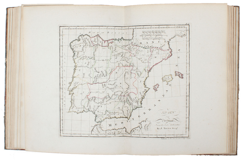
"ATLAS - YOUNG, J.
A New Atlas Or a Compleat Set of Maps. Representing the different Empires, Kingdoms, States of the known World Including the Modern Discoveries by J. Young, A.M.
(Edinburgh and London ?), (1778). Large 4to. (32 x 24,5 cm.). Contemp. hcalf. Raised bands. Title-label with gilt lettering. Top of spine lacks ca. 1 cm. of leather, bottom of spine ca. 1/2 cm. Spine rubbed, wear along hinges. Old owner inscription on top of title-page. Ex Libris Scholae Regis Edinensis. Engraved title-page and 23 double-page (numb. 1-23) and all with original handcolouring. The map of the world (2 hemispheres): printed size 25 x 46 cm. (sheet: 31 x 48,5 cm.). Printed on heavy paper, verso blank, all clean and fine.
Referenz des Buchhändlers : 51680
|
|
|
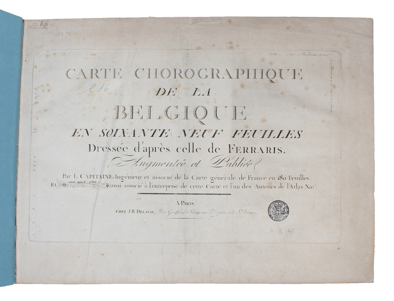
"ATLAS BELGIQUE - ATLAS BELGIUM - LOUIS CAPITAINE.
Carte Chorographique de la Belgique en soixante neuf Feuilles dressée d'après celle de Ferraris. Augmentée et Publiée par L. Capitaine... et associé de la Carte générale de France en 180. Feuilles. Et (P.G. Chanlaire) aussi associe´ a l'entrepris...
Paris, J.B. Delaval, (1796/97). Folio-oblong. (40 x 55 cm.). Contemp. modest hcalf. A paperlabel pasted on upper part of spine. Marbled paper on covers. A stamp on title-page. Engraved title-page and engraved Tableau (dated AN V). With 67 engraved maps (incl. Tableau, numb. (1)-65 + 53 bis and 58 bis). On title-page the name P.G. Chanlaire is erased. Engraved title-page slightly soiled, Tableau, the first and last map a bit brownspotted and last map with a closed marginal tear, otherwise clean.
Referenz des Buchhändlers : 55711
|
|
|
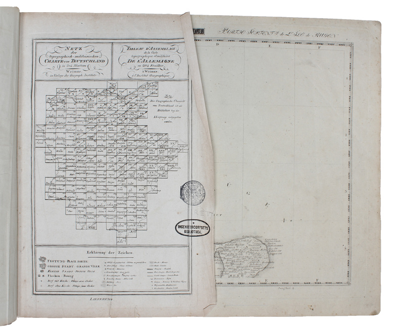
"ATLAS DEUTSCHLAND - ATLAS GERMANY - ATLAS ALLEMAGNE.
Carte topographique et militaire de L'Allemagne en 204 Feuilles.... (Topographisch-militairischen Charte von Teutschland in 204 Blaettern).
Weimar, Geographischen Instituts, 1807-13. Folio-oblong. (38 x 48 cm.). Contemp hcalf. Spine a little rubbed. A paperlabel pasted on upper part of spine. Corners bumped. Stamp on ""Netz-Karte""/ ""Tableau"". With 3 other ""Netz-Karte"" on verso of Sect. 3,11 a. 14. The engraved title-page (in French) present as Sect. 10. With all 204 engraved plates (203 maps). The maps clean and fine throughout.
Referenz des Buchhändlers : 55735
|
|
|
"ATLAS NAPOLEONIC BATTLE-SCENES - PELET, JEAN JACQUES GERMAIN.
Atlas des Campagnes de L'Empereur Napoleon en Allemagne et en France. Gravé sous la Direction du Général de Division Pelet. 14 (of 17, nos 1-2 a. 5 missing) engraved maps. (+) 3 extra (not listed in the Table).
(Paris), Au Dépôt Gén.al de la Guerre, 1844. Large folio. The 14 engraved maps are engraved by Pelet and each measuring ca. 75 x 100 cm. Engraved (folded) title-page + Table des Cartes et Plans... de 1805,1806 et 7, 1809. (Listing 17 maps). One of the extra inserted is a large engraved map of Northern Germany (Allemagne Septentrionale), with part of Denmark, Holland etc., measuring 67 x 130 cm. The measures are paper sizes. Comprising Nos. 3. Théâtre des opérations de l'Empereur Napoléon sur le haut Danube, en Octobre. - 4. Bataille d'Ulm ou du Michelsberg, 14 et 15 Octobre 1805. - 6. Bataille d'Austerlitz, 2 Décembre 1805. - 7. Bataille d'Iéna, 14 Octobre 1806. - 8. Places de la Vistule et de la Narew, en 1807. - 9. Théatre des opérations de l'Empereur Napoléon entre la Passarge et la Prégel, 1807. - 10. Bataille de Preuss-Eylau, 8 Février 1807. - 11. Bataille de Friedland, 14 Juin 1807. - 12. Théàtre des opérations de l'Empereur Napoléon sur les bords de la Laaber, Avril 1809. - 13. Bataille d'Eckmühl, 22 Avril 1809. - 14. Combat d'Ebersberg, 3 Mai 1809. - 15. Bataille d'Essling et travaux de l'Ille de Lobau, Mai, Juin et Juillet 1809. - 16. Bataille de Wagram, 5 et 6 Juillet 1809. - 17. Bataille de Znaïm, 11 Jullet 1809. Faint scattered brownspots.
Referenz des Buchhändlers : 58335
|
|
|
"JOURNAL ""L'AUTORITE"""
Carte des Balkans.
CHEZ L'AUTEUR. Non daté. In-Plano. En feuillets. Etat d'usage, Livré sans Couverture, Dos satisfaisant, Pliures. Carte dépliantes de 38 / 55 cm, en noir et blanc. Quelques traits au crayon bleu. Quelques notes au crayon à papier en marges. Accrocs en marges.. . . . Classification Dewey : 912-Atlas, cartes et plans
Referenz des Buchhändlers : RO80053867
|
|
|
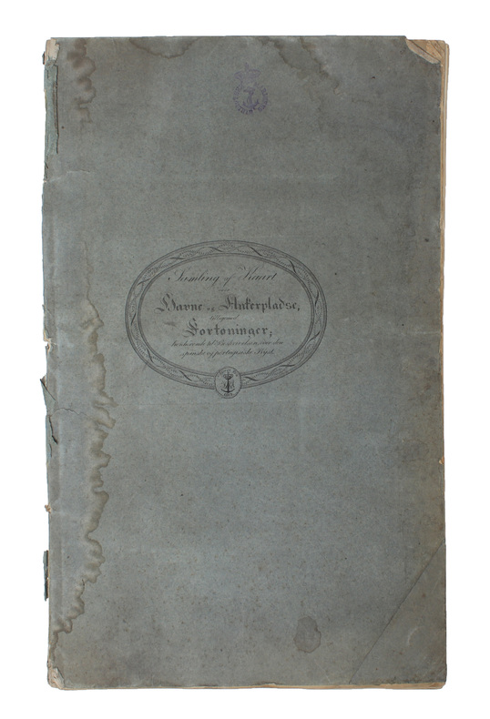
"SPANISH MARITIME ATLAS - (LØVENØRN, POUL de).
Samling af Kaart over Havne og Ankerpladse, tilligemed Fortoninger, henhörende til Beskrivelsen, over den spanske og portugisiske Kyst. Udgivet fra (Søkort-Archivet).
(København), 1819. Folio. (44 x 27 cm.). Original blue wrappers with some dampstains and rear somewhat soiled. With the engraved oval title on upper wrapper. In a later hcloth portfolio. With 19 (all) engraved maps, charts, plans, coastal profiles of which 7 are double-page. (Maps numbered in letters A-K, profiles numbered I-IX).The maps depicting the main harbours (with townplans) and anchorages. Maps with a few small marginal closed tears.
Referenz des Buchhändlers : 56069
|
|
|
( ATLAS XVIIIe )
ATLAS DES ENFANS ou nouvelle méthode pour apprendre la Géographie avec un nouveau traité de la Sphere et XXIV cartes enluminées
Lyon Chez Jean-Marie Bruyset, Père é Fils 1784 in 12 (17x10) 1 volume reliure pleine basane fauve de l'époque, dos à nerfs orné, caissons dorés, pièce de titre de cuir beige, dos lisse, tranches teintées bleu, frontispice gravé, XI et 331 pages, avec 24 cartes gravées enluminées. Bel exemplaire
Referenz des Buchhändlers : 45963
|
|
|
( BARENTIN de MONTCHAL, A. Louis de)
Atlas de la géographie ancienne et historique, composée d'après les cartes de D'Anville par L.B.D.M.
1807 Paris, Egron, Arthus-Bertrand, Chaumerot, Genets, Lenormant, 1807 ; Atlas in-folio, plein cartonnage ancien muet recouvert de papier à fond noir moucheté de bleu et blanc.Titre, avec au verso la liste des planches ( 25) et 26 planches à double page montées sur onglet.Comme le signale la BNF une planche a été ajoutée " Plan de Combat Naval d' Ecnome " en noir.Annotations manuscrites au verso du titre.Le cartonnage est usagé avec manque au bord externe du 1er plat, les onglets sont jaunis avec travail d'insecte, légère trace jaune au centre ( pli) de certaines cartes, une seule avec très petits trous au pli, trace de mouillure à 3 cartes, taches rousses ou piqûres en marge de quelques cartes.Les cartes sont datées pour la plupart de 1738 ,1739, 1740, ou 1741, avec légende " pour servir à l' Histoire Romaine de M. Rollin, par Mr D'Anville", le plan de Syracuse est daté de 1800.De format 46 x 32 ou 46 X 60 ( pour les cartes à double page), dans de très frais et beaux coloris d'époque.
Referenz des Buchhändlers : c5041
|
|
|
( JERUSALEM ).
The Scripture Atlas to illustrate the Old and New Testaments with physical maps of Egypt,Sinai, and Palestine. Plans of ancient an modern Jerusalem, etc ;
London,W.&A.K.Johnston Limited,sans date (vers 1910); in-4°,pleine toile éditeur beige illustrée et imprimée en noir et or au 1er plat,dos muet; 2ff.,6pp.(de texte,dont Index des noms).Avec 16 planches hors texte en couleurs : cartes et plans.On a joint de chez le même éditeur une carte " Palestine in time of Christ " en noir, carte volante in-4°,repliée.
Referenz des Buchhändlers : c2237
|
|
|
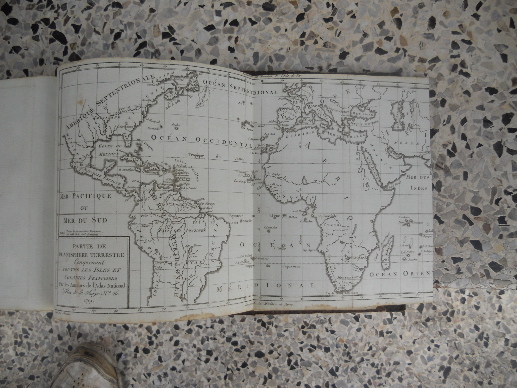
( les auteurs de l'atlas national de France )
Precis elementaire et methodique de la nouvelle geographie de la France suivi d'une table alphabetique ...... pour servir de developpement a l'atlas national portatif de la France ... - et - Atlas national portatif de la France, destine a l'instruction publique , compose de 93 cartes et d'un precis methodique et elementaire de la nouvelle geographie du Royaume dedie et presente a l'assemblee nationale par les auteurs de l'atlas national de France
Paris au bureau de l'atlas national, rue de la Harpe 26, 1792. Les deux ouvrages sont relies dans la meme demi-reliure cuir vert. Format a l'italienne 19,50x26 cm, le papier du tome 2 est bleute, les cartes sont rehaussees a la main, de couleurs et in fine 3 sont depliantes. Les 3 cartes depliantes sont: "Partie de planisphere terrestre comprenant toutes les isles et colonies francoises", "Cartes particulieres des isles francoises en Amerique et aux Indes" et "Plan de la ville et environs de Pondichery".La reliure est dans un etat d'usage, l'interieur est frais. Quelques marques d'usage.Bon etat.
Referenz des Buchhändlers : 13931
|
|
|
(Atlas d'astronomie)
Atlas d'astronomie.
Paris, Perrin, 1976, in-12 cartonnage éditeur, 288 pp, nombreuses illustrations. Bon état.
Referenz des Buchhändlers : 6589
|
|
|
(Atlas ferroviaire).
Recueil de 37 plans techniques de gares de la ligne Lyon-Marseille (future ligne Paris-Lyon-Méditerranée).
[Vers 1850-1860]. 1 vol. in-folio oblong, (29,5 x 52 cm) ; [37] pl. lithographiées montées sur onglets dont 8 dépliantes. Cartonnage couvert de papier vert, dos lisse et muet. Deux plis au premier plat, perte de papier au dos, coupes frottées. Quelques rousseurs sur une petite moitié des plans.
Referenz des Buchhändlers : 2072
|
|
|
(ATLAS)
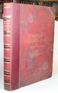
Black's General Atlas of the World. New and Revised Edition Embracing the Latest Discoveries New Boundaries and Other Changes Accompanied by Introductory Letterpress and Index
Edinburgh: Adam and Charles Black 1876. Folio. 32 70 pp. Publisher's gilt lettered cloth boards rebacked preserving much of the original leather spine. Illustrations numbered 1-56; a frontispiece of "The Flags of All Nations" plus 29 double page and 23 full page colour maps - complete despite the curious numbering system some double maps feature two numbers and others one collation also includes two bis maps. Covers very worn and faded but solid due to the reback the frontispiece with some wear and tear consolidated by being laid down at some point a few of the early maps with repaired marginal tears map 13 Ireland with a longer repaired tear across one half dampstaining to the lower edge throughout. Edinburgh: Adam and Charles Black unknown
Referenz des Buchhändlers : 52192
|
|
|
(ATLAS)
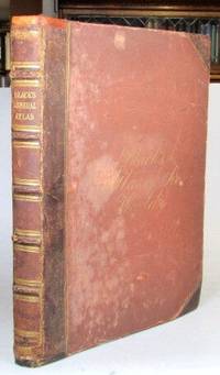
Black's General Atlas of the World. New Edition Containing the Latest Discoveries New Boundaries and Introductory Description
Edinburgh: Adam and Charles Black 1865. Folio. 32 70 pp. Publisher's brown half morocco over cloth boards spine with raised bands gilt lettered direct to one panel cursive gilt lettering to the upper cover early owner's inscription to the front pastedown. Frontispiece of "The Flags of All Nations" plus 57 maps - 31 double page and 26 full page including a supplementary map of the borders of central Europe. Covers worn but sound some rudimentary repairs to the spine ends and the hinges similarly reinforced a number of maps with lightly pencilled 19th century annotations to the margins and/or their versos the contents mostly in decent shape. Edinburgh: Adam and Charles Black unknown
Referenz des Buchhändlers : 52198
|
|
|
(Atlas)
E. von Sydow's oro-hydrographischer Atlas. Fünf und zwanzig Boden- und Gewässer-Karten über alle Theile der Erde
Justus Perthes Gotha 1856. 1 Titelblatt 2 S. Vorwort und 23 Kartenseiten mit 25 Karten quart-quer Einband fehlt/fleckig/gebräunt/Titelblatt mit kleinen Eckeinrissen/. unknown
Referenz des Buchhändlers : 5f4764
|
|
|
(ATLAS)
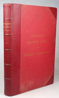
Stanford's Octavo Atlas of Modern Geography
London: Edward Stanford 1896. Second edition small folio iii leaves followed by 38 double page coloured maps plus a 104 pp index at the end. Marbled endpapers. Original red half morocco a.e.g. some faint rubbing otherwise very good. London: Edward Stanford unknown
Referenz des Buchhändlers : 43355
|
|
|
(ATLAS)
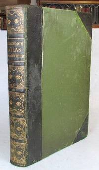
The Harmsworth Universal Atlas and Gazetteer
London: The Amalgamated Press c. 1907. 4to. viii 32 284 pp. Contemporary possibly publisher's green half morocco over green cloth sides spine gilt top edge gilt. 3 colour plates of flags 210 map colour sheets mostly comprising double page maps but including single page maps and plans the 32 pages towards the rear also featuring numerous colour maps and diagrams. Covers worn but sound the front hinge weakened though it is still holding contents generally pretty good. London: [The Amalgamated Press] unknown
Referenz des Buchhändlers : 52208
|
|
|
(ATLAS)
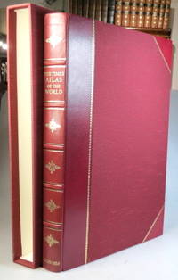
The Times Comprehensive Atlas of the World
London: Times Books; The Folio Society 1999. Limited edition no. 810 of 1000 copies folio 67 249 220 4 pp. 123 double page and one single page coloured map. Maroon half goatskin slipcase a couple of minor marks to the spine ends otherwise a lovely copy. (London: Times Books; The Folio Society unknown
Referenz des Buchhändlers : 37957
|
|
|
(Atlas)
The Unrivaled Atlas of Modern Geography for Schools and Families. Forty-three Maps with an Index to 22000 Namers in the Atlas
Edinburgh: W. & A.K. Johnston nd. 24th Edition 240000th. With a tipped in 1842 Map of South America as Frontispiece. Folio. Bound in three quarters modern half brown mottled calf. Fine. 24th Edition 240000th. With a tipped in 1842 Map of South America as Frontispiece. Folio. W. & A.K. Johnston unknown
Referenz des Buchhändlers : 318424
|
|
|
(ATLAS) MERIAN.
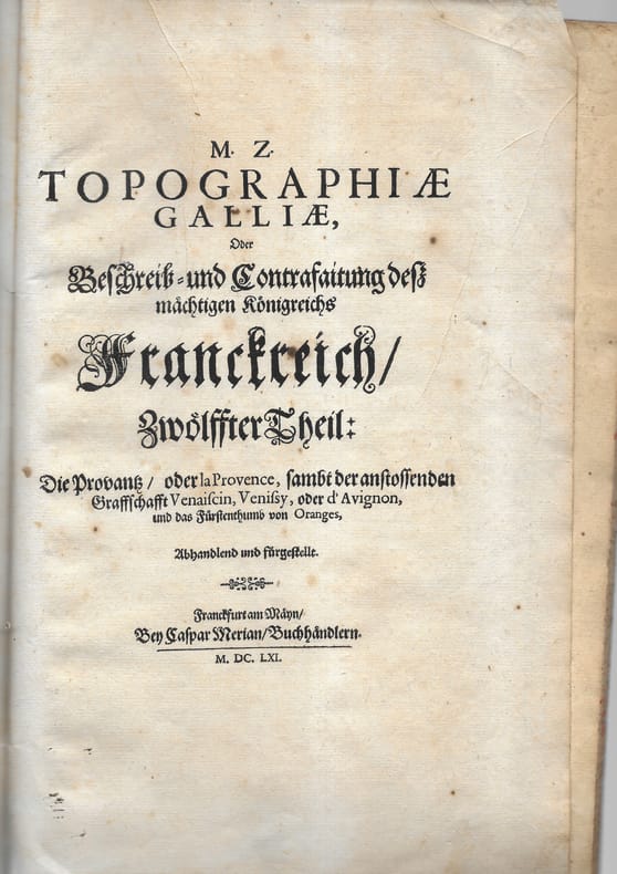
Topographie de la Gaule. Provence.
1 plaquette petit in-folio comprenant 9 cartes, plans et vues. Broché Bon Frankfurt Merian 1661 1 plaquette petit in-folio
Referenz des Buchhändlers : 7870
|
|
|
(ATLAS).-
Nouvel Atlas des Enfans, ou principes clairs pour apprendre facilement et en peu de tems la Géographie, suivi d'un Traité méthodique de la Sphère... Enrichi de XXIV cartes enluminées.-
Nouvelle Édition, Revue & Corrigée. Amsterdam. Vlam. 1776. Petit in-12 (103 x 174 mm) pleine basane brune, dos à 5 nerfs orné, pièce de titre maroquin café, frontispice gravé, XX, 232 pages. Reliure usagée, coins très abîmés, menus défauts, très bon état intérieur.
Referenz des Buchhändlers : ORD-20325
|
|
|
(CALVADOS). PATRIMOINES.-
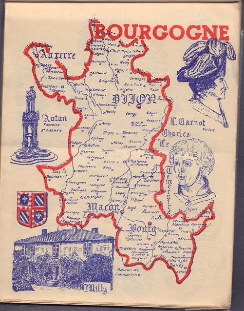
Cartes des Provinces accompagnées d'illustrations par R. Dizian. Vendu pour la reconstruction d'une école de France détruite par la guerre - Ecole du Theil (Calvados).-
Tunis. Litho Ch. Weber. sd ca 1945. Plaquette in-8 à l'italienne (218 x 165 mm) brochée, titre en grandes majuscules rouges et bleues dans un cadre de mêmes couleurs. Ensemble de 9 cartes de provinces en rouge et bleu sur fond blanc, suivi de 9 cartes des mêmes provinces en rouge brun et bleu pâle sur fond jaune, toutes ornées de blasons et de monuments. Cartes au 1500000e. Cachet de la Croix Rouge sur la couverture et la 1ère page blanche, trace de pli vertical, petits défauts mais tràs bon état des cartes. Document fragile et rare.
Referenz des Buchhändlers : ORD-19973
|
|
|
(CLOUD ATLAS: TABOR PRANG ART CO)
Classification of Clouds for the Guidance of Observers.
Washington DC: Department of Agriculture Weather Bureau 1897. First edition thus Oblong octavo 6 1/2 x 4 5/8 inches. 3 pp. of text printed in orange 12 full page Prang chromolithographs after Rudolf Cronau. Descriptive text on the opposing versos. Publisher's flexible brown cloth with black lettering. An excellent copy.These Prang lithos of clouds were used in a variety of government publications but all are hard to come by. Department of Agriculture Weather Bureau hardcover
Referenz des Buchhändlers : 76793
|
|
|
(Collectif)
ATLAS GEOPOLITIQUE ET CULTUREL
Un ouvrage de 167 pages, format 155 x 235 mm, illustré, broché couverture couleurs, publié en 2003, Le Robert / L'Express, bon état
Referenz des Buchhändlers : LFA-126731646
|
|
|
(Collectif)
ATLAS HISTORIQUE
Un ouvrage de 635 pages, format 130 x 195 mm, illustré, relié cartonnage couleurs, publié en 1991, bon état
Referenz des Buchhändlers : LFA-126719979
|
|

 Per e-mail erhalten
 Als pdf-Dokument herunterladen
 RSS feed
 Permanenter link


