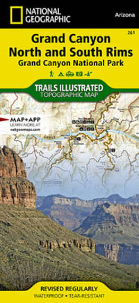
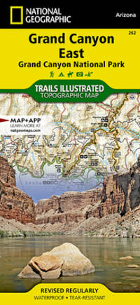
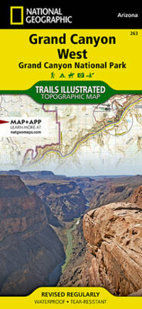
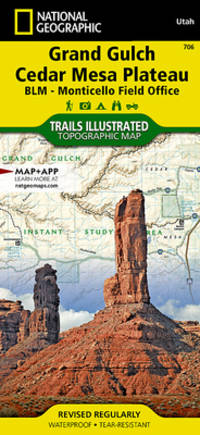
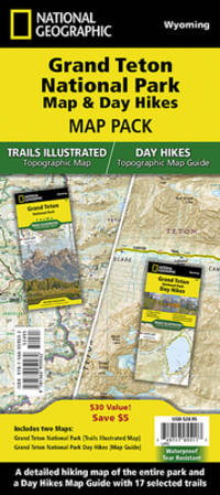
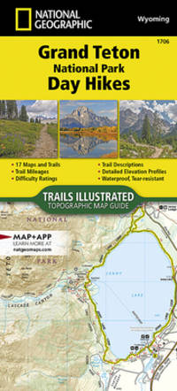
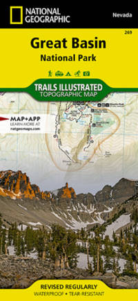
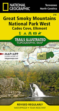
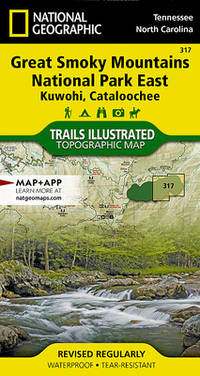
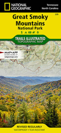
National Geographic's Trails Illustrated Maps are the most detailed and up-to-date topographic recreation maps available for US National Parks National Forests and other popular outdoor recreation areas. A necessity for exploring the outdoors each map is printed on waterproof tear-resistant material. They also contain key safety and contact information GPS and compass coordinates Leave No Trace ethical guidelines and hundreds of points-of-interest including scenic viewpoints campgrounds boat launches swimming areas marine sanctuaries and wildlife refuges. Scale : 1:40000 Flat Size : 813 x 559 mm. unknown
Bookseller reference : BIBUP61025-A39699 ISBN : 1566954371 9781566954372
National Geographic Maps. 2023. Good. It's a preowned item in good condition and includes all the pages. It may have some general signs of wear and tear such as markings highlighting slight damage to the cover minimal wear to the binding etc. but they will not affect the overall reading experience. National Geographic Maps unknown
Bookseller reference : 1566954371-11-1 ISBN : 1566954371 9781566954372
National Geographic Society 1997. Poster. Very Good. Unmarked map/poster. Maps. Images. Text. Timeline. Measures 9x5.5 inches folded and 35x22 inches unfolded. National Geographic Society unknown
National Geographic Maps. New. BRAND NEW GIFT QUALITY! NOT OVERSTOCKS OR MARKED UP REMAINDERS! DIRECT FROM THE PUBLISHER! National Geographic Maps unknown
Bookseller reference : OTF-S-9781566953016 ISBN : 1566953014 9781566953016
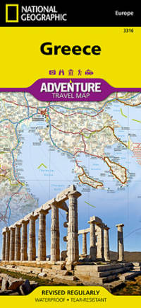
• Waterproof • Tear-Resistant • Travel Map National Geographic's Greece AdventureMap is designed to meet the unique needs of adventure travelers with its durability and accurate information. This folded map provides global travelers with the perfect combination of detail and perspective highlighting hundreds of points of interest and the diverse and unique destinations within the country. The front side of the Greece map shows the northern region of the country with Macedonia and Bulgaria to the north Albania to the west and Turkey to the east. There are insets detailing the islands of Kerkyra and Zakynthos. The reverse side of the map details the southern portion of Greece showing the islands down to Crete. The map includes the locations of cities and towns with a user-friendly index plus a clearly marked road network complete with distances and designations for major highways main roads and tracks and trails for those seeking to explore more remote regions. Every AdventureMap is printed on durable synthetic paper making them waterproof tear-resistant and tough — capable of withstanding the rigors of international travel. Each is two-sided and can be folded to a packable size of 4.25"" x 9.25""; unfolded size is 26"" x 38"". Key Features: - Waterproof and tear-resistant - Accurate topography/terrain with a clearly labeled road network - Hundreds of points of interest including the locations parks and nature reserves protected lands historical and cultural attractions - Thousands of place names including towns and natural features; detailed place names index - Important travel networks including airports lighthouses ferry routes and rail lines - Updated regularly to ensure accuracy Proceeds from the sale of National Geographic maps go to support the National Geographic Society's vital exploration conservation research and education programs. Sheet Size = 37.75 x 25.50 Folded Size = 4.25 x 9.25 Scale = 1:710000 unknown
Bookseller reference : BIBUP61025-A31090 ISBN : 1566956218 9781566956215
 Receive by email
 Download as PDF document
 RSS feed