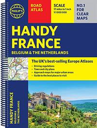
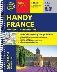
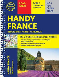
Spiral bound. New. New Book; Fast Shipping from UK; Not signed; Not First Edition; Philip's Handy Road Atlas of France Belgium and The Netherlands features new digital cartography from Philip's - voted Britain's clearest and most detailed European mapping in an independent consumer survey. This compact A5 atlas with unknown
Bookseller reference : ria9781849077040_inp ISBN : 1849077045 9781849077040
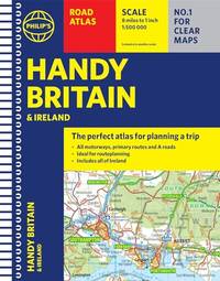
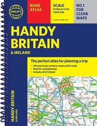
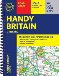
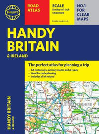
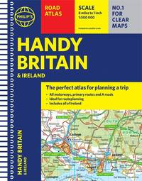
Spiral bound. New. New Book; Fast Shipping from UK; Not signed; Not First Edition; The essential handy road atlas for planning a trip in Britain and Ireland. Keep it in the glove box or your travel bag for quick and easy reference. unknown
Bookseller reference : ria9781849077057_inp ISBN : 1849077053 9781849077057
Spiral bound. New. <b>The essential handy road atlas for planning a trip in Britain and Ireland. Keep it in the glove box or </b><b>your travel bag </b><b>for quick and easy reference.</b> unknown
Bookseller reference : A9781849077057 ISBN : 1849077053 9781849077057
Spiral bound. New. <b>Philip's Handy Road Atlas of France Belgium and The Netherlands</b> features new digital cartography from Philip's - voted Britain's clearest and most detailed European mapping in an independent consumer survey. This compact A5 atlas with lie-flat binding is perfect for travelling across France and the surrounding countries. unknown
Bookseller reference : A9781849077040 ISBN : 1849077045 9781849077040
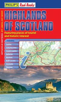
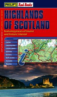
Paperback / softback. New. A leisure and tourist map of the Highlands of Scotland with places of interest clearly marked. Detailed coverage of the area's road network. Easy-to-read road mapping ideal for journey route-planning. Great value for money at only GBP5.99. paperback
Bookseller reference : A9781849075121 ISBN : 1849075123 9781849075121
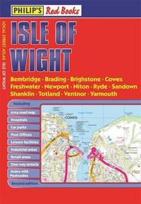
Paperback / softback. New. New Book; Fast Shipping from UK; Not signed; Not First Edition; This pocket-sized street atlas of the Isle of Wight gives detailed coverage of the whole of the island and mainland towns nearby. paperback
Bookseller reference : ria9781849076104_inp ISBN : 1849076103 9781849076104
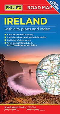
Sheet map. New. <b>All of Ireland is clearly shown in this handy up-to-date Philip's road map covering the whole island at 9 miles to 1 inch. By including the latest new roads and motorways route-planning and touring is made wonderfully simple with this easy-to-read guide.</b> unknown
Bookseller reference : A9781849075503 ISBN : 1849075506 9781849075503
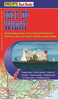
Sheet map. New. A newly updated edition of this single-sided folded sheet map of the Isle of Wight giving everything you need for a holiday or day trip. unknown
Bookseller reference : A9781849076111 ISBN : 1849076111 9781849076111
Paperback / softback. New. This pocket-sized street atlas of the Isle of Wight gives detailed coverage of the whole of the island and mainland towns nearby. paperback
Bookseller reference : A9781849076104 ISBN : 1849076103 9781849076104
Octopus Publishing Group. Used - Very Good. Ships from the UK. Former library book; may include library markings. Used book that is in excellent condition. May show signs of wear or have minor defects. Octopus Publishing Group unknown
Bookseller reference : 54642991-20 ISBN : 1849073988 9781849073981
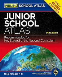
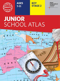
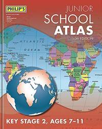
Paperback / softback. New. The market-leading atlas for pupils at primary schools Philip's RGS Junior School Atlas has been fully revised and updated for its 11th edition. paperback
Bookseller reference : A9781849075800 ISBN : 1849075808 9781849075800
 Receive by email
 Download as PDF document
 RSS feed