|
BALSLEV, SVEND og HANS EJNER JENSEN.
Landmåling og landmålere. Danmarks økonomiske opmåling. 2 bd.
Kbhvn., Den danske Landinspektørforening, 1975. Orig. halvlæder. 333 s. Illustr. + Mappe i folioformat med 14 farvereproduktioner.
|
|
|
Baltimore Division Road Maps VI
Baltimore and Ohio Railroad Lines Between Connellsville PA Including W&P and P&W and P&LE and other Branches
Baltimore: Safety Through Knowledge 1989. Other. Tall Octavo; VG-; Paperback with comb binding; Covers have moderate stains to the front and rear; Fore edge has minor foxing otherwise text block is clean; 116p. 1323176. FP New Rockville Stock. Safety Through Knowledge unknown books
Bookseller reference : 1323176
|
|
|
Bancroft, Hubert Howe; Maps [Illustrator]
The Works of Hubert Howe Bancroft: History of Central America Three Volume Set
Arno Press 1967-01-01. Hardcover. Good. All 3 volumes hardbound copies without jackets Arno Press 1967. Vol. 1 Vol. 6 of Bancroft's Works 1501-1530: bookplate inside front cover marks on back cover no text markings noted. Vol. 2 Vol. 7 of Bancroft's Works 1530-1800: bookplate inside front cover small marks on top edge no text markings noted. Vol. 3 Vol. 8 of Bancroft's Works 1801-1887: bookplate inside front cover no text markings noted. Arno Press hardcover
Bookseller reference : 32992set3
|
|
|
Bank of America
Map of Monterey County, California Circa 1937
Map of the county issued by the Bank of America. Includes vital statistics and points of interest. Back side provides a short history of the county and details of the bank. Average wear and soiling. Short openings to periphery. 21.5" x 16.75". Map

|
|
|
BAQUOL (Jacques)
Carte du Bas-Rhin faisant partie du Dictionnaire Géographique historique et statistique du Haut & du Bas Rhin.
1851 1 carte toilée en 12 sections, 560 x 450 mm., Strasbourg Lith. Simon 1851
Bookseller reference : 16944
|
|
|
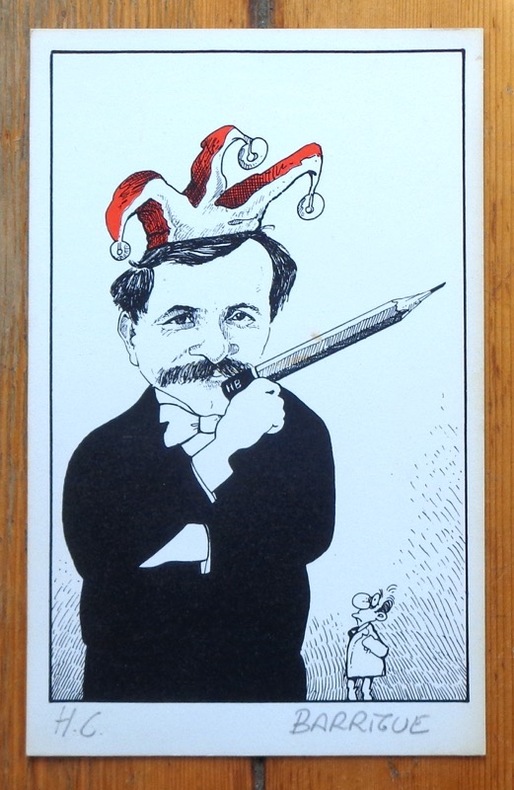
Barrigue:
[Autoportrait au crayon].
Sérigraphie en deux tons, au format 12,5 x 20 cm. Très légèrement jaunie en bord.
Bookseller reference : 6306
|
|
|
BARRALIER (Emmanuel).
[GUERRE RUSSO-JAPONAISE] Carte du théâtre de la Guerre russo-japonaise.
1904. En 20 sections montées sur toile et repliées, formant une carte de 731 x 554 mm ; étiquette au dos de l'éditeur Maison Logerot V.P. Marin.
Bookseller reference : LBW-8441

|
|
|
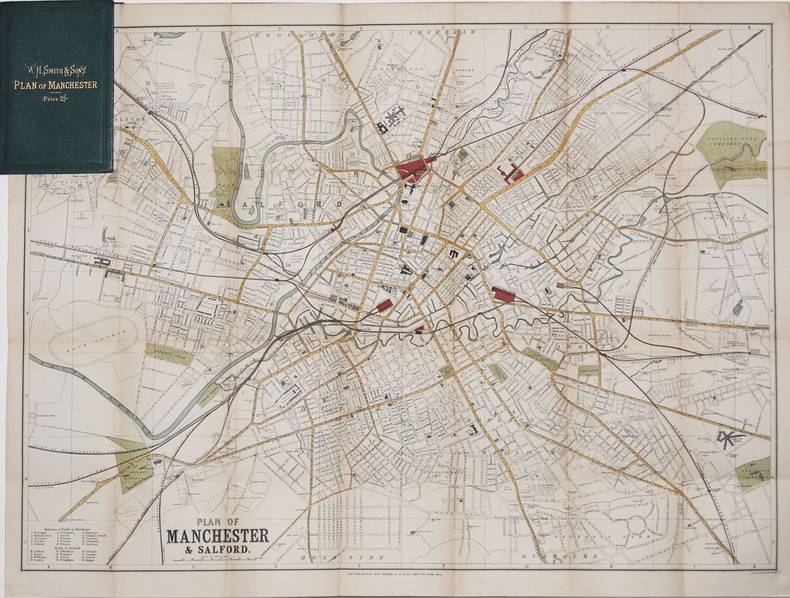
BARTHOLOMEW (John).
[MANCHESTER] Plan of Manchester & Salford.
[circa 1890]. 500 x 680 mm ; replié et monté dans une reliure de percaline verte de l'éditeur W.H. Smith & Sons contenant l'index des rues (16,2 x 10,5 cm).
Bookseller reference : LBW-3270
|
|
|
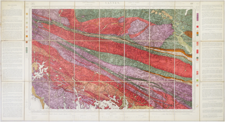
BARROIS (Charles).
[VANNES/GÉOLOGIE] Carte géologique détaillée. Vannes. Feuille n°89.
Paris, Dépôt de la Guerre, 1890. En 27 sections montées sur toile et repliées, formant une carte de 0,61 x 1,14 m ; étiquette au dos de la carte de la Maison Andriveau-Goujon Henry Barrère, Éditeur Géographe.
Bookseller reference : LBW-7857
|
|
|
BARBIER (Claude) & SCHWARZ (Pierre-François)
Atlas Historique du Pays de Genève – Des Celtes au Grand Genève.
Ouvrage orné de cartes en dont 17 cartes hors-texte. La Salévienne, 2014. Petit in-4 (27,5x21,5cm) cartonnage souple illustré et plastifié. 134pp.
Bookseller reference : WOC-687
|
|
|
BARBIER (Claude) & SCHWARZ (Pierre-François)
Atlas historique au pays de Genève.
Volume 2: Communes Réunies , Communes Démembrées. Nombreuses illustrations de cartes. La Salévienne, 2017. In-4 (28x22cm) de cartonnage souples illustré. 179pp.
Bookseller reference : WOC-1388

|
|
|
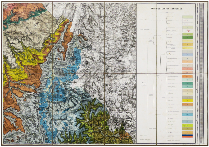
BAROTTE (Jules) & ROYER (Ernest).
Carte géologique du département de la Haute-Marne, exécutée sous les auspices du Conseil Général par MM. E. Royer et J. Barotte, membres de la Société Géologique de France, et publiée de 1859 à 1863 sous l'administration de MM. Girard de Villesaison et Rostan d'Ancezune, Préfets.
Nancy, Wiener Aîné Fils, 1859-1863. En six feuilles coupées en sections et montées sur toile brune, pouvant être jointes pour former une carte d'environ 1,72 x 1,63 m ; étiquette de l'éditeur Wiener Aîné Fils, papetier à Nancy, au dos de chaque carte ; sous emboîtage in-4 de papier marbré de l'époque.
Bookseller reference : LBW-6191
|
|
|
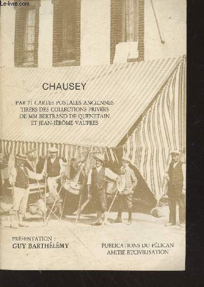
Barthélémy Guy
Chausey par 71 cartes postales anciennes tirées des collections privées de MM Bertrand de Quenetain et Jean-Jérôme Vaupres
Pélican Amitié et Civilisation. Non daté. In-8. Broché. Bon état, Couv. convenable, Dos satisfaisant, Intérieur frais. 54 pages augmentées de nombreuses photos de cartes postales en noir et blanc hors texte.. . . . Classification Dewey : 741.68-Illustrations des cartes postales
Bookseller reference : RO20213371
|
|
|
BARRERE, Henry ; ANDRIVEAU-GOUJON
Empire Ottoman [ Carte de l'Asie Mineure - 1904 ]
Carte entoilée en couleur au format 94 x 68 cm, échelle 1 : 3500000, Maison Andriveau-Goujon, Henry Barrère, Paris, 1904 (mention rev. 1904), carte n° 15, atlas usuel n° 21 ; atlas universel n° 34, gravé : le trait par Smith, la topographie par Gérin, les Ecritures par Rousset, les Eaux par Mme Fontaine
Bookseller reference : 26332

|
|
|
Barrigue:
Etiquette Dôle de Sierre 1982.
Etiquette et bandeau pour une Dôle de Sierre Tavelli.
Bookseller reference : 1899

|
|
|
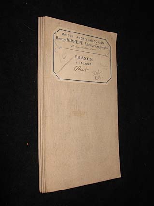
Barrère Henry
France 1 : 100.000. Brest
Maison Andriveau-Goujon Carte 1913 In-8 (12.5x23.5 cm), carte pliée, carte du Finistère reproduite en couleurs ; traces sur les plats, assez bon état. Livraison a domicile (La Poste) ou en Mondial Relay sur simple demande.
Bookseller reference : jj5340
|
|
|
BARRE, Josette - FEUGA, Paul
Morand et les Brotteaux
1998 - broché - Editions Lyonnaises d'Art et d'Histoire - Collection Vues de quartiers - 1998 - In-8 (22,5 x 16 cm) broché - 128 pages - Riche iconographie (plans, photographies) en noir et blanc - ISBN : 2-84147-060-1 / 9782841470600
Bookseller reference : 981

|
|
|
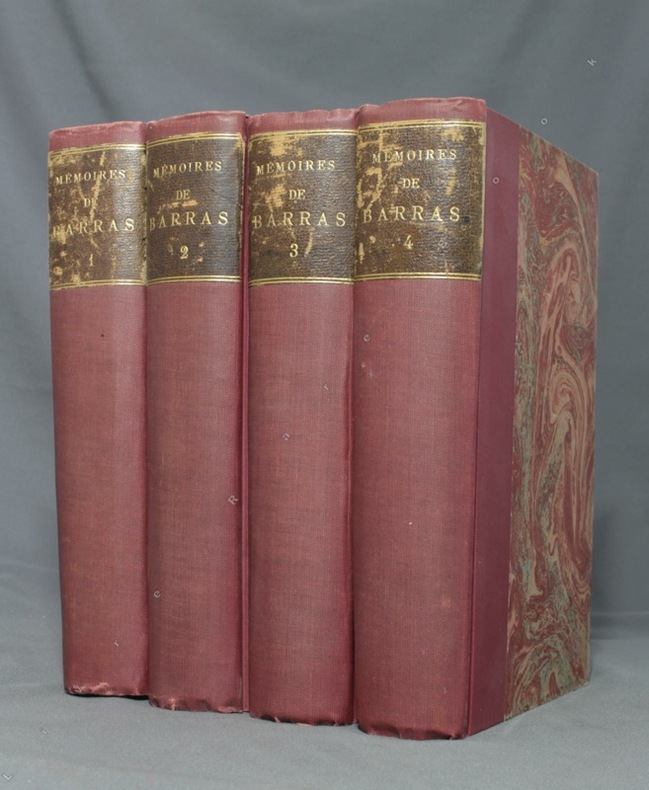
BARRAS Paul; DURUY George (intro):
Mémoires de Barras, membre du directoire.
Paris, Lib. Hachette, 1895-1896. 4 volumes in-8 de LXXXIII-372 / XVI-543 / XXXVI-526 et XXXII-548 pages, demi-percaline bordeaux, dos lisses, étiquettes de titre brunes, un brin frottées, couvertures conservées.
Bookseller reference : 1723
|
|
|
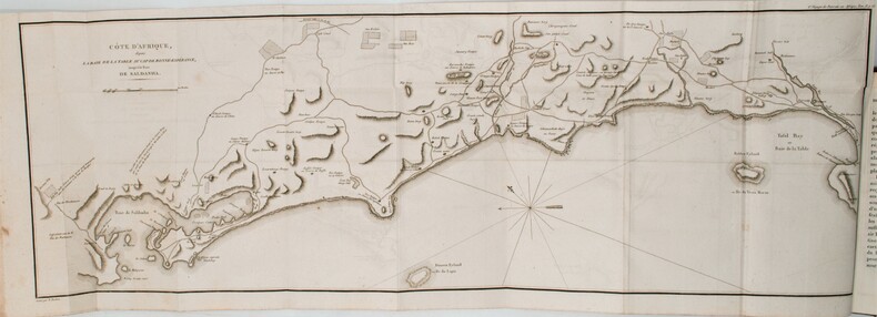
BARROW, John.
Nouveau voyage dans la partie méridionale de l'Afrique....
Dentu, Imprimeur - Libraire, Paris, 1806, 2 volumes in-8 , x-310pp. ,2ffnch.-312pp. ,illustré de 8 cartes dépliantes , relié plein cuir époque , dos lisse avec pièce de titre rouge et tomaison noire , tranches mouchetées bleues , coupes et coins usés , début de fentes , rares rousseurs , frottements.
Bookseller reference : PHO-1285
|
|
|
BARTHÉLEMY (J.E.).
Plan géométrique (en deux feuilles) des bois dépendants du domaine de Tigery appartenants à Madame de Clermont-Tonnerre. Dressé par J.E. Barthélemy, géomètre à Corbeil, d'après les réarpentages successifs faits depuis 1843 inclusivement (à l'exception de l'année 1851).
1864. In-folio ; demi-percaline noire, dos lisse muet, pièce de titre de maroquin rouge sur le premier plat (reliure de l'époque).
Bookseller reference : LBW-6635

|
|
|
BARBIÉ du BOCAGE, J.D.:
Plan de L’ Hellespont, de la Chersonèse de Thrace et d une grande partie de la Troade. Pour le Voyage du Jeune Anacharsis. Gravé par P.F. Tardieu / L. Aubert scripsit (les textes).
1782 - Germinal An VI, 34x23 cm, carte sous passepartout.
Bookseller reference : 130920aaf
|
|
|
BARTHELEMY (Jean-Jacques).
Voyage du jeune Anacharsis en Grèce & Recueil de cartes géographiques, plans, vues, médailles de l'ancienne Grèce.
A Paris, chez E. A. Lequien / de l'Imprimerie de P. Didot l'Aîné, 1822 - A Paris, chez de Bure, 1839 (pour le volume d'Atlas). 7 vol. de texte au format in-8 (225 x 141 mm) de 1 f. bl., 2 ff. n.fol., 1 frontispice gravé n.fol., 451 pp. et 1 f. bl. ; 1 f. bl., 2 ff. n.fol., 488 pp. et 1 f. bl. ; 1 f. bl., 2 ff. n.fol., 462 pp., 1 f. n.fol. et 1 f. bl. ; 1 f. bl., 2 ff. n.fol., 474 pp., 1 f. n.fol. et 1 f. bl. ; 1 f. bl., 2 ff. n.fol., 466 pp., 1 f. n.fol. et 1 f. bl. ; 1 f. bl., 2 ff. n.fol., 423 pp., 1 f. n.fol. et 1 f. bl. ; 1 f. bl., 2 ff. n.fol., 438 pp., 1 f. n.fol. et 1 f. bl. 1 vol. d'Atlas au format pt in-4 (282 x 223 mm) de xlii pp et 31 planches gravées, sous couverture d'attente de l'époque de plein cartonnage gris-perle.
Bookseller reference : 19077

|
|
|
Barabas, Ildiko
Carte vom Hochadelichen Gute Wandsbeck und der dazu gehörige Meierhof Mühlenbeck den Dörfern Hinschenfelde Tonnendorf et Lohe. NACHDRUCK nach einer kolorierten Zeichnung von Lorentz Heinrich Boysen, anno 1805.
Braunschweig, Archiv-Verlag, [ca. 1985]. Mehrfachk gefalt. farb. Karte (Blattgröße ca. 48 x 83 cm; Bildgröße ca. 44 x 78 cm).
Bookseller reference : 99384
|
|
|
Barber, Peter (Commentary)
King Henry's Map of the British Isles
A book on the early map of Great Britain and Ireland forming part of the collection assembled by the antiquary and administrator Sir Robert Cotton. 158 pages. With Notes. In slip-case. Slipcase has some light wear.
|
|
|
BARBEY Antonio (attivo tra il 1690 ed il 1714 circa)
Nuova Pianta della Citta di Roma coll'Indice de Tempij Palazzi et Altre Fabriche Antiche e Moderne...
Mappa di Roma del XVII secolo, incisa a Roma da Antonio Barbey e pubblicata da Domenico de Rossi.Si basa sulla grande pianta murale di Giovan Battista Falda, ma mostra con particolare cura gli interventi urbani sotto il pontificato di papa Innocenzo XII, tra i quali la dogana di mare a Ripa Grande (1694). Sono inoltre contenute nella pianta una serie di interessanti note e i nomi delle ville e vigne entro le mura della città.Comprende un elegante cartiglio con titolo e stemma in alto, e un secondo cartiglio con un lungo elenco che individua 464 luoghi di interesse nella Città Eterna.La mappa è orientata a nord-est in alto e comprende siti antichi e moderni. "I lotti edificati sono campiti con puntinato e vengono indicati i nomi di molte strade. L'impostazione generale e vari dettagli denotano la derivazione di questa pianta dalla grande del Falda cui il Barbey apportò però numerosi aggiornamenti. Sono infatti riportati i nuovi interventi di Innocenzo XII tra i quali la dogana di mare a Ripa Grande (1694). Sono inoltre contenute nella pianta una serie di interessanti note e i nomi delle ville e vigne entro le mura della città. In basso a sinistra è scritto Ant. Barbey Sculp. ed a destra Domenico de Rossi [...] l'anno 1697 il di 25 maggio. Sotto il titolo in alto è riportata la dedica a Mons. Ranuccio Pallavicino Governatore di quest'alma Città e vice Camerlengo [...] Innocenzo XII felicemente regnante. Sui due lati legenda con 464 numeri di rimando ed elenco dei XIV rioni, e, in basso a destra, l'indice delle chiese di Roma" (cfr. Marigliani p. 253). Incisione in rame con bellissima coloritura a mano, alcune pieghe di carta perfettamente restaurate, per il resto in buono stato di conservazione. Rara. Bibliografia Frutaz n. 162, Scaccia Scarafoni n. 206, Huelsen n. 135; Marigliani n. 159. Map of Rome from the 17th century, engraved in Rome by Antonio Barbey and published by Domenico de Rossi. It is based on the large wall map by Giovan Battista Falda, but shows with particular care the urban interventions under the pontificate of Pope Innocenzo XII, including the sea customs house at Ripa Grande (1694). The map also contains a number of interesting notes and the names of the villas and vineyards within the city walls. It includes an elegant cartouche with title and coat of arms at the top, and a second cartouche with a long list identifying 464 places of interest in the Eternal City. The map is oriented north-east at the top and includes ancient and modern sites. Built-up lots are dotted and the names of many streets are indicated. The general layout and various details indicate that this map derives from Falda's great map, to which Barbey however made numerous updates. In fact, the new interventions of Innocent XII are shown, including the sea customs house at Ripa Grande (1694). The map also contains a series of interesting notes and the names of the villas and vineyards within the city walls. At lower left is written Ant. Barbey Sculp. and on the right Domenico de Rossi [...] the year 1697 the 25th of May. Under the title at the top there is the dedication to Monsignor Ranuccio Pallavicino Governor of this great City and Vice Camerlengo. On both sides a legend with 464 reference numbers and a list of the XIV districts, and, at the bottom right, the index of the churches of Rome (cf. Marigliani p. 253). Copper engraving with fine later hand colour, few repaired paper folds, otherwise in good condition. Rare. Bibliografia Frutaz n. 162, Scaccia Scarafoni n. 206, Huelsen n. 135; Marigliani n. 159.

|
|
|
Barker, Felix
London from the Air
No marks or inscriptions. A very clean crisp very tight copy with bright unmarked boards and no bumping to corners. Dust jacket not price clipped or marked or torn or creased with light traces of storage. 144pp.

|
|
|
Barnes, Jeremy
The Pictorial History of the American Civil War
208 pages including index. From the first firing of guns at Fort Sumter to the ultimate surrender of the South, richly illustrated with many contemporary engravings and rare photographs as well as many colour illustrations and maps. A must for every Civil War Buff. Clean and unmarked. Very light wear. Gorgeous copy of this handsome work. Book
|
|
|
BARNEVILLE
Carte couleurs au 1/100 000?. Feuille VIII-11. Mise ? jour 1923.
Une feuille 57x45 cm.
|
|
|
Baron, Stanley
The Road to Rome
No marks or inscriptions. A very clean very tight copy with bright unmarked boards and no bumping to corners. Dust jacket not price clipped or marked, torn or creased with a little rubbing to bottom of spine. 307pp. The author follows a route from Boulogne by way of Reims, Colmar, Lucerne, the St Gotthard Pass, Milan, Lake Maggiore, Cremona, Ravenna, Florence and finally Rome where he continues his tour.

|
|
|
BARRERE, Henry ; ANDRIVEAU-GOUJON
Empire Ottoman [ Carte de l'Asie Mineure - 1904 ]
Carte entoilée en couleur au format 94 x 68 cm, échelle 1 : 3500000, Maison Andriveau-Goujon, Henry Barrère, Paris, 1904 (mention rev. 1904), carte n° 15, atlas usuel n° 21 ; atlas universel n° 34, gravé : le trait par Smith, la topographie par Gérin, les Ecritures par Rousset, les Eaux par Mme Fontaine Belle grande carte entoilée de l'Empire ottoman (petites usures aux pliures, une petite annotation marginale). Français

|
|
|
Barrett, Betty and Power, Frances
The Golden Book of Dublin
No inscriptions or marks. No creasing to covers or to spine. A very clean crisp tight copy with bright unmarked boards, very slight traces of handling and no bumping to corners. 64pp. A brief history of Dublin, a guide and map to the city.

|
|
|
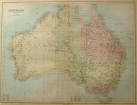
BARTHOLOMEW, J
Australia.
Edinburgh.: A & C Black. 1884. Printed colour map of Australia some light foxing few minor tears browned edges still a clear and bright image. Map measures approximately 42 x 55cm. . A & C Black unknown
Bookseller reference : 56997
|
|
|
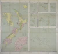
BARTHOLOMEW, J
New Zealand. Philips's Series of Travelling Maps. Polynesia - Sheet title.
London.: George Philip & Son. 1865. 9 coloured maps by William Hughes segmented and mounted on linen 55.3 x 65.2cm. Folds into cloth covered case 17.2 x 12cm. Spine of case little faded and ribbon tie missing. Relief shown by hachures and spot heights. Philips' series of travelling maps series. Very good copy. Features a dominant map of New Zealand with 3 maps as insets to this map and 6 other maps separately shown within their own borders. The 3 inset maps are: Norfolk Island and Philip Island; Enlarged map of Auckland and the adjacent country; Enlarged plan of the country around Dunedin and the eastern portion of the Otago Gold Fields from Thomson's map. <br> <br>The 6 maps in addition to the New Zealand map are The Ladrones or Mariana Islands; The Sandwhich Islands; The Galapagos Islands; The New Hebrides and Santa Cruz Islands; The Feejee Friendly and Samoan Islands; The Marquesas Society and Low Archipelago. <br> <br>The New Zealand maps includes a list of native tribes and their locations. . George Philip & Son. hardcover
Bookseller reference : 154409
|
|
|
Bartholomew, John G [maps]
The Times Comprehensive Atlas of the World Twelfth Edition
London 2008. Slipcased. as New. Bartholomew John G maps. Used - VG: in very good condition with slipcase Hardcover ISBN 13 9780007801503 ISBN 10 0007801505 <br /> The Times Book Group. Illustrated hardback laminated board cover. 460mm x 320mm 18" x 13". 67pp 224pp plates. Colour maps. Heavy item - shipping supplement will apply for overseas. . <br/><br/> unknown
Bookseller reference : 3278 ISBN : 0007801505 9780007801503

|
|
|
Bartholomew
Bartholomew's Quarter Inch Map of Ireland : Sheet 4 - Cork and Killarney
No marks or inscriptions. Two secitions slightly sunned. A little tearing along most exposed vertical fold. Some exposure of the linen but still intact along some other folds. 1pp. Folded linen-backed vintage map of Cork and Killarney opens up to 23 x 33 inches. Undated ca 1950s. Compass north bearing date 1948.
|
|
|
Bartholomew
Bartholomew's Quarter Inch Map of Ireland : Sheet 5 - Galway - Mayo
No marks or inscriptions. A little very slightl sunning. Intact map with no tears. 1pp. Folded linen-backed vintage map of Galway and Mayo opens up to 23 x 33 inches. Undated ca 1950s. Compass north bearing date 1951.
|
|
|
Bartholomew
World travel map Israel with Jordan. Scale 1:350000.
Bartholomew, Edinburgh 1971. Farbige gefaltete Karte. Ca. 66 x 86 cm (bxh). Geringe Gebrsp.
Bookseller reference : 10980
|
|
|
BARTHOLOMEW'S RAILWAY MAP.
Bartholomew's Railway Map of the British Isles showing the New Grouping. Each Group distinuished by a Separate Colour. [Scale Nineteen Miles to One Inch.] BRIGHT, CLEAN COPY
8vo., folding coloured map on cloth measuring 34.5 x 29 inches (approx. 88 x 74 cms) folding in 24 panels to 9.5 inches (approx. 23 x 13 cms); wrappers lettered in red and black, certain folds neatly reinforced, some mild age-soiling and rubbing else a very good, bright, clean copy. VERY SCARCE IN THIS CONDITION.
|
|
|
BARTRAM, William
Voyage dans les parties sud de l’Amérique septentrionale
In -8°, due volumi, pp. 457 con due tavole ripiegate, pp. 436 con 1 tavola ripiegata e grande carta geografica pieghevole a cura di J.B. Poirson e stampata da Blondeau, legatura in pelle, con tasselli e titolo al dorso. Nel secondo volume manca la quarta tavola ripiegata, tavola non presente in tutti gli esemplari (v. Stafleu & Cowan, 329 ed. fr.); all’antiporta del primo vol. illustrazione con Mico Chlucco, il Gran Guerriero o il Re dei Seminole. Prima edizione francese. Particolarmente dettagliata la carta geografica, importante per capire il livello di accuratezza raggiunto dalle esplorazioni scientifiche. In -8°, two volumes, pp. 457, with two large folded plates, pp. 436 with 1 folded plate and large folded map by J.B. Poirson and engraved by Blondeau, leather binding with title at the back. In the second volume the fourth folded plate is missing which is not existing in each copy, (see Stafleu & Cowan, 329 ed. fr.). At the frontispice of the first volume portrait of Mico Chlucco, the Great Warrior or the King of Seminoles. First French edition.
|
|
|
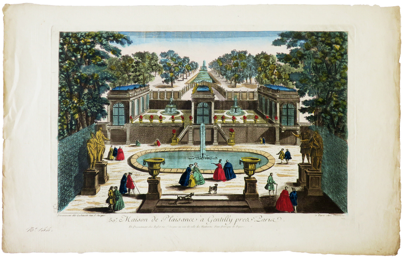
BASSET (Paul André).
[GENTILLY] 50e. Maison de plaisance à Gentilly près Paris.
Paris, Daumont, Lachaussée puis Basset, [circa 1780]. 270 x 395 mm.
Bookseller reference : LBW-6270
|
|
|
BASSET (Paul André).
[JEU de l'OIE] Nouveau Jeu historique et chronologique de la Monarchie française.
Paris, Basset, [1815]. 454 x 605 mm.
Bookseller reference : LBW-8528

|
|
|
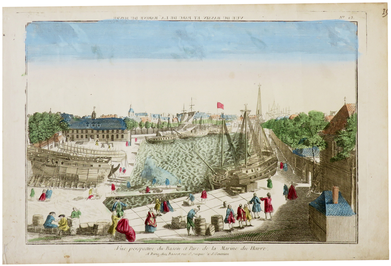
BASSET (Paul André).
[LE HAVRE] Vue perspective du bassin et parc de la Marine du Havre.
Paris, Basset, [circa 1760]. 286 x 398 mm.
Bookseller reference : LBW-6286
|
|
|
BASSET (André).
[NOTRE-DAME de PARIS] Vue perspective de l'intérieur de l'église de Notre Dame de Paris.
[circa 1780]. 280 x 390 mm.
Bookseller reference : LBW-5770

|
|
|
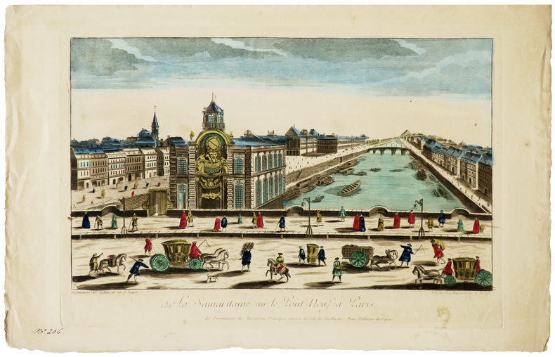
BASSET (Paul André).
[SAMARITAINE] 131e. La Samaritaine sur le Pont-Neuf à Paris.
Paris, Daumont, Lachaussée puis Basset, [circa 1780]. 284 x 420 mm.
Bookseller reference : LBW-6280
|
|
|
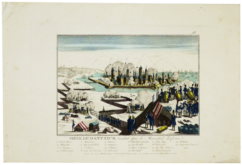
BASSET (Paul André).
[SIÈGE de GDANSK] Siège de Dantzick conduit par le maréchal Lefèvre.
Paris, Basset, [1807]. 170 x 197 mm.
Bookseller reference : LBW-5965
|
|
|
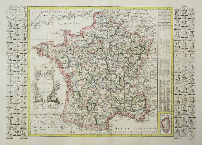
BASSET (Paul André).
Carte de la France tracée d'après les nouvelles limites fixée par le Traité de Paix du 20 novembre 1815.
Paris, Basset, 1816. 477 x 680 mm.
Bookseller reference : LBW-3688
|
|
|
Basse Seine
carte Basse Seine au 1/10 000e de Paris a Rouen
IN4 1950,2e edition,carte coloriée depliante en accordeon d’un sel tenant de Bougival a Tourville(Rouen),tres rare,complet,pres de 100Km de berges,
Bookseller reference : 17045
|
|
|
BASSIN HOUILLER DE L’AVEYRON
Concession de MAZEL, BASSIN HOUILLER DE L’AVEYRON, documents historiques originaux
1860 S.L.,S.d.,vers 1859 / 1860;IN4 broché,texte en lithographie manuscrite : 23p.+ plans et cartes dont trés grande carte dépliante coloriée des lignes de chemins de fer de l’epoque,1- coupe synthétique du bassin houiller d’Aubin a Decazeville,1bis-coupe geologique, 2- carte geologique dépliante du bassin, 3-profil de la grande couche du MAZEL depliante,4- trés grande carte dépliante coloriée des lignes de chemins de fer de France de l’époque avec légendes manuscrites,
Bookseller reference : 21459

|
|
|
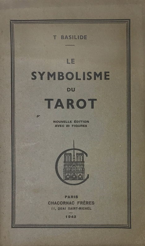
Basilide (Patrice Genty, 1883-1964, consacré évêque de l'Eglise Gnostique sous le nom de Taur) :
Symbolisme (Le) du Tarot. Nouvelle édition avec des figures.
Paris, Chacornac, 1942 ; in-8, brché ; (1) f. blanc, 53, (1) pp., couverture vert-olive imprimée en vert foncé.
Bookseller reference : 15259
|
|
|
BASEQUE L.
Construction des cartes de l'?tat-major (en Fran?e et en Belgique) et coordon?es rectilignes. Calculs tr?s simple des distance ? vol d'oiseau. A l'usage de l'enseignement, l'a?rostation, l'aviation et la colombophilie.
Broch?. 71 pages.
|
|

 Receive by email
 Download as PDF document
 RSS feed
 Permanent link


