|
BRAUN (Georg) & HOGENBERG (Abraham) & HOGENBERG (Frans).
[STRASBOURG] Argentoratum - Strassburg.
[Cologne, 1620]. 339 x 425 mm pour le plan, et 214 x 384 mm pour la vue contrecollée au dos.
Riferimento per il libraio : LBW-8932

|
|
|
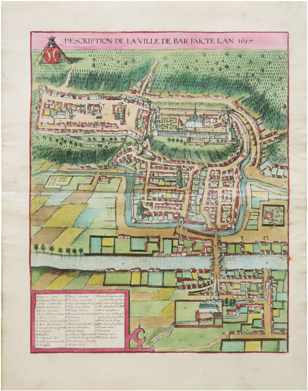
BRAUN (Georg) & HOGENBERG (Abraham).
[BAR-le-DUC] Description de la ville de Bar faicte l'an 1617.
[Cologne, 1618]. 438 x 347 mm.
Riferimento per il libraio : LBW-9011
|
|
|
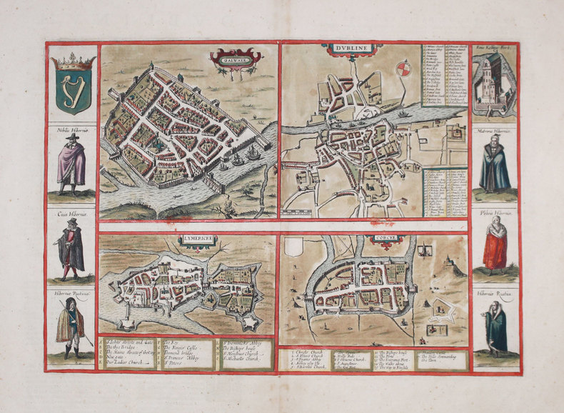
BRAUN (Georg) & HOGENBERG (Frans) & JANSSON (Johannes).
[IRLANDE] Galwaye - Dubline - Lymericke - Corcke.
[Amsterdam, 1657]. 306 x 438 mm.
Riferimento per il libraio : LBW-3186
|
|
|
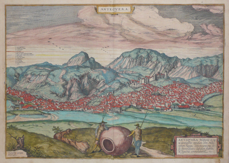
BRAUN (Georg) & HOGENBERG (Frans).
[ANDALOUSIE] Antequera.
[Cologne, 1572]. 351 x 497 mm.
Riferimento per il libraio : LBW0621c
|
|
|
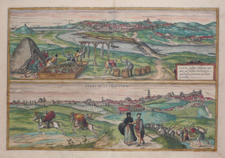
BRAUN (Georg) & HOGENBERG (Frans).
[ANDALOUSIE] Conil - Xeres de la Frontera.
[Cologne, 1572]. 351 x 497 mm.
Riferimento per il libraio : LBW0621b
|
|
|
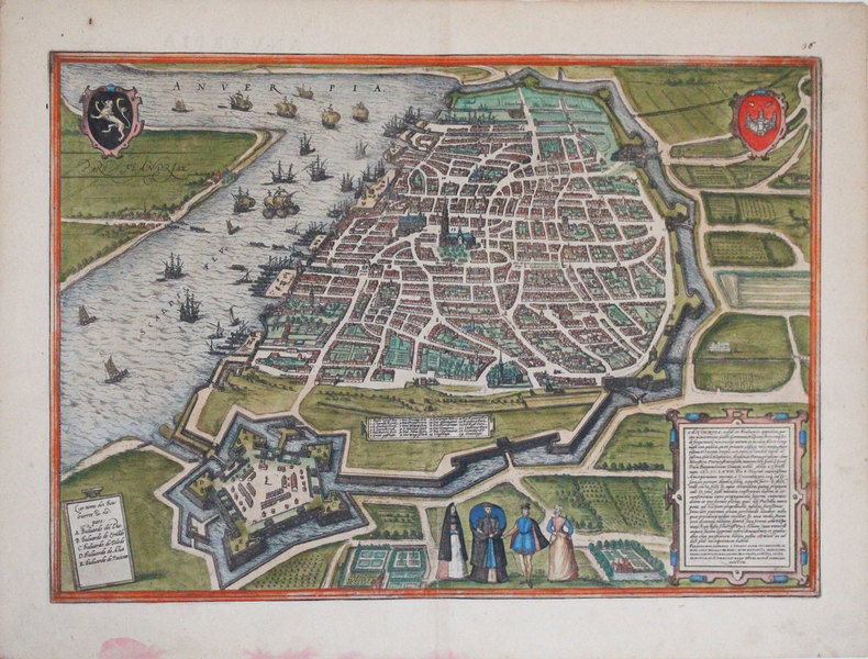
BRAUN (Georg) & HOGENBERG (Frans).
[ANVERS] Anverpia.
[Cologne, 1572]. 338 x 479 mm.
Riferimento per il libraio : LBW-3249
|
|
|
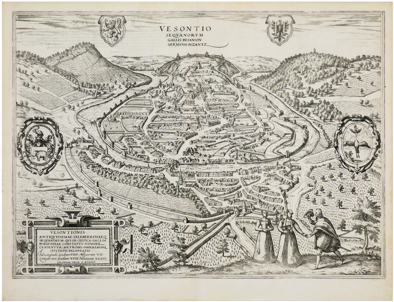
BRAUN (Georg) & HOGENBERG (Frans).
[BESANÇON] Vesontio Sequanorum Gallis Besanson Germanis Byzantz.
[Cologne, 1575]. 353 x 493 mm.
Riferimento per il libraio : LBW-7194
|
|
|
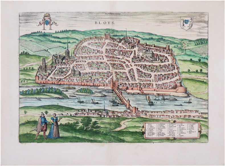
BRAUN (Georg) & HOGENBERG (Frans).
[BLOIS] Bloys.
[Cologne, 1575]. 308 x 438 mm.
Riferimento per il libraio : LBW-7902
|
|
|
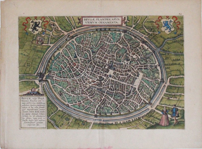
BRAUN (Georg) & HOGENBERG (Frans).
[BRUGES] Brugæ, Flandricarum urbium ornamenta.
[Cologne, 1572]. 310 x 453 mm.
Riferimento per il libraio : LBW-3254
|
|
|
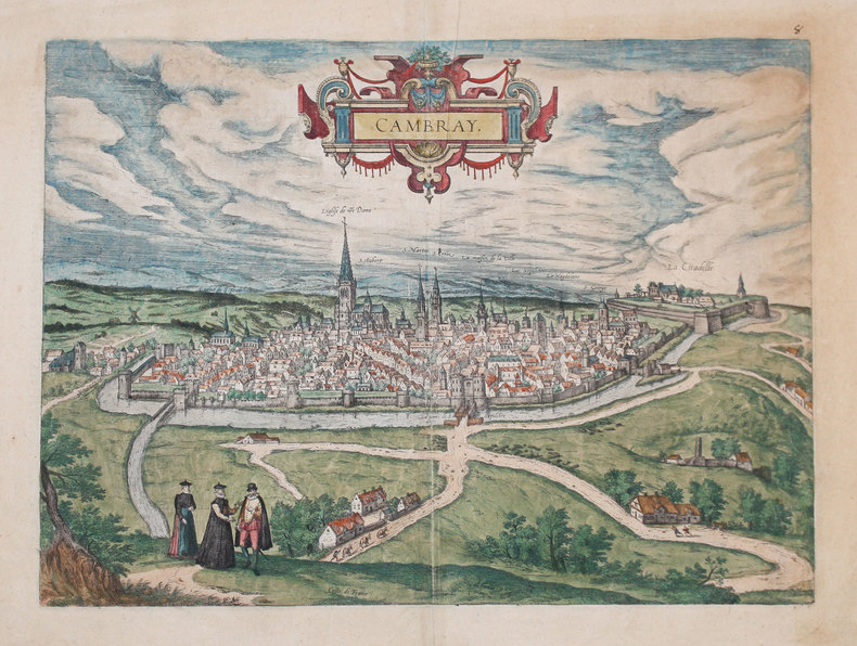
BRAUN (Georg) & HOGENBERG (Frans).
[CAMBRAI] Cambray.
[Cologne, 1588]. 355 x 495 mm.
Riferimento per il libraio : LBW-3234
|
|
|
BRAUN (Georg) & HOGENBERG (Frans).
[CANTERBURY] Cantuarbury.
[Cologne, 1588]. 289 x 431 mm.
Riferimento per il libraio : LBW-3243

|
|
|
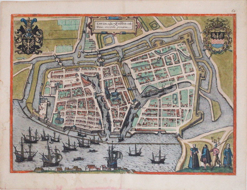
BRAUN (Georg) & HOGENBERG (Frans).
[EMDEN] Emuda, vulgo Embden urbs Frisiæ orientalis primaria.
[Cologne, 1588]. 347 x 486 mm.
Riferimento per il libraio : LBW-3306
|
|
|
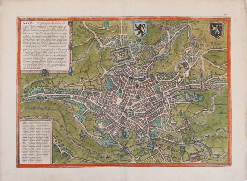
BRAUN (Georg) & HOGENBERG (Frans).
[GAND] Gandavum, amplissima Flandriæ urbs.
[Cologne, 1572]. 336 x 480 mm.
Riferimento per il libraio : LBW-3298
|
|
|
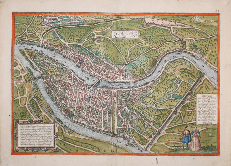
BRAUN (Georg) & HOGENBERG (Frans).
[LYON] Lugdunum.
[Cologne, 1572]. 355 x 495 mm.
Riferimento per il libraio : LBW-3233
|
|
|
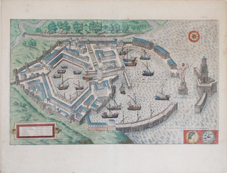
BRAUN (Georg) & HOGENBERG (Frans).
[OSTIE] Ostia.
[Cologne, 1588]. 294 x 496 mm.
Riferimento per il libraio : LBW-3307
|
|
|
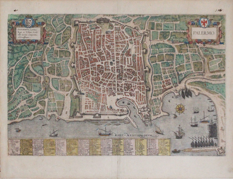
BRAUN (Georg) & HOGENBERG (Frans).
[PALERME] Palermo.
[Cologne, 1588]. 324 x 500 mm.
Riferimento per il libraio : LBW-3308
|
|
|
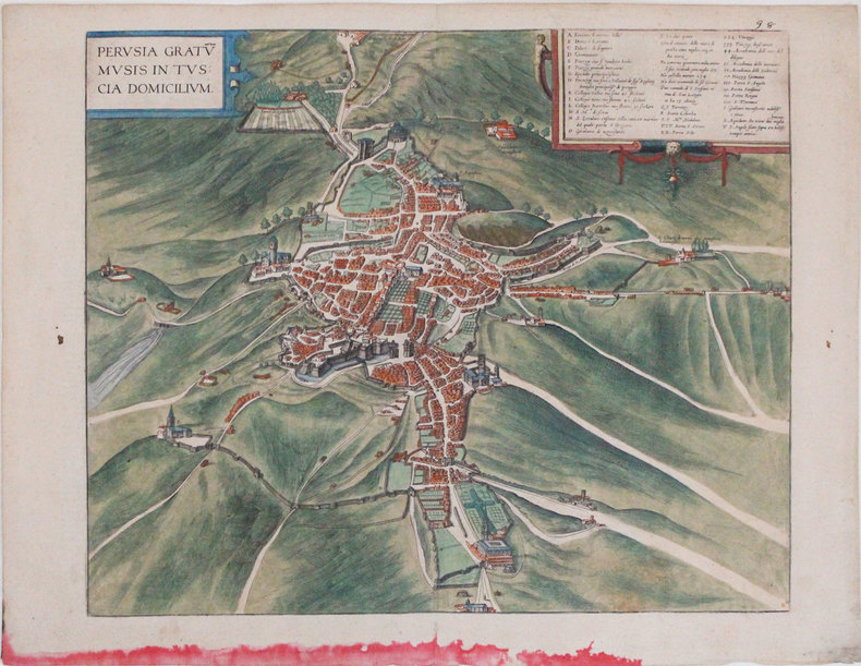
BRAUN (Georg) & HOGENBERG (Frans).
[PÉROUSE] Perusia gratum musis in Tuscia domicilium.
[Cologne, 1588]. 364 x 439 mm.
Riferimento per il libraio : LBW-3300
|
|
|
BRAUN (Georg);HOGENBERG (Frans);
[COSTUMES] Diversi Dithmarsorum et vicinarum gentium habitus.
Cologne 1598 362 x 495 mm.
Riferimento per il libraio : LBW0028b

|
|
|
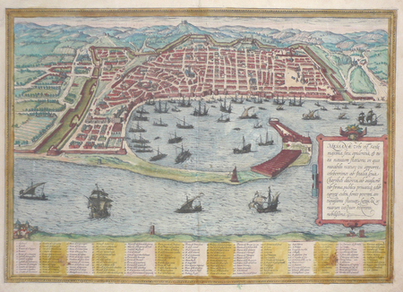
BRAUN (Georg);HOGENBERG (Frans);
[MESSINE] Messana urbs est Sicilie maxima.
Cologne 1572 341 x 484 mm.
Riferimento per il libraio : LBW02e81
|
|
|
Braun, [Georg] und [Frans] Hogenberg
Civitas Francofordiana ad M. Altkolorierter Kupferstich.
um 1580. unter Passepartout; Bildausschnitt: 33x47,6 cm; Außenmaß: 47,4x60,6 cm; Mittelfalz, an den Seitenrändern des Blattes zwei ca 1x1,5 cm große gebräunte Stellen (nicht störend), verso lateinischer Text. Ansicht von Frankfurt am Main aus dem ersten Band der sechsbändigen "Civitates orbis terrarum" von Georg Braun und Frans Hogenberg (1572). Blick von Südwesten. Das Straßennetz ist stark vereinfacht, in der Altstadt fälschlich rechtwinklig, die Neustadt flächenmäßig zu klein wiedergegeben. Vorne links drei Figurinen in Landestracht.
Riferimento per il libraio : GRAP0192

|
|
|
Braun, Georg (1541-1622) et Hogenberg, Frans (1539?-1590?)
PLAN DE CHARTRES, tiré de l'Atlas : "Civitates orbis terrarum liber primus", Coloniae Agrippinae : [s.n.], 1573
1573 PLAN ANCIEN en couleurs, colorée d'époque à la main, en marron, bleu, vert et rouge. Format total : 40 centimètres de haut par 31 centimètres de large, réalisée par Braun, Georg et Hogenberg, Frans , tiré de l'ATLAS : "Civitates orbis terrarum liber primus", 1573 Coloniae Agrippinae : [s.n.] Editeur,
Riferimento per il libraio : 8976
|
|
|
Braun, Georg / Hogenberg, Franz
Beschreibung und Contrafactur der vornembster Stät der Welt.
(Berlin, Coron bei Kindler, 2004). 56 Blatt, 56 Farbtafeln, 15 TextS. (= Coron Exclusiv). Folio. 42,5 cm. Rotbraunes Ganzleder auf 6 imit. Bünden mit reicher Vergoldung und Ganzgoldschnitt.
Riferimento per il libraio : 91916

|
|
|
Bravo Emile:
Aleksis Strogonov.
1552 Ex-libris (sérigraphie) au format 15,5 x 22 cm. Microscopiques frottements en coins.
Riferimento per il libraio : 24396

|
|
|
Breckwoldt, J. J. [Johann Jakob]
Historische Nachrichten über die Elbinsel Altenwerder. Gesammelt und bearbeitet unter Mitwirkung des Lehrers [Gustav] Bosenick.
Harburg, Danckwerts'sche Buchhandlg. C. Sieke [hs. korrigiert "E. Schneider], 1894. 60 TextS. Mit 8 Faltktn. OBrosch.
Riferimento per il libraio : 30785

|
|
|
Bredelar:
Bredelar. "Plan der Action welche d. 5. Aug. 1761 zwischen einem Aliirten Hannoverischen und Königl. Französischen Corps bey Bredelar in Westphalen vorgefallen". Schlachtenplan von Bredelar. Kupferstich mit farbigen Truppenaufstellungen aus "Neues Kriegs-Theater ...", 28. Supplement.
Format: 18 x 29,5 cm. *Leicht gebräunt, insgesamt gut erhalten. Landkarten de
|
|
|
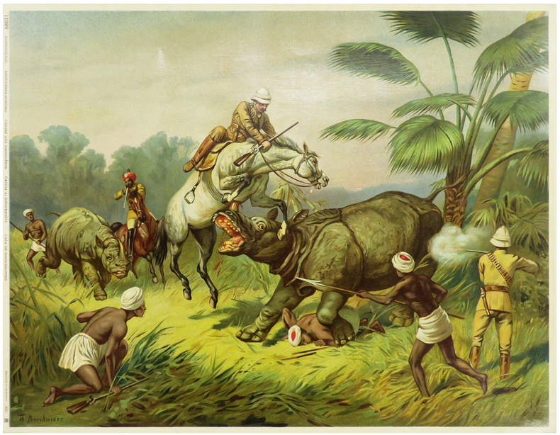
BREIDWISER (Théodore).
[CHASSE au RHINOCÉROS] Chasse aux rhinocéros.
Germany, [circa 1900]. 319 x 416 mm.
Riferimento per il libraio : LBW-5968
|
|
|
Breisach:
Alt Breysach eine unvergleichliche Vestung an den rechten Ufer des Ober Rheins in Breißgau gelegen. Altkolorierter Kupferstich.
Format 50 x 58,5 cm. *Großer kolorierter Stadtplan mit Befestigung und den umliegenden Rheinarmen im oberen Teil. Unten mit einer großen Gesamtansicht von Alt Breisach (Ansicht über den Fluß), rechts und links flankiert von je einer allegorischen Darstellung. - Sehr dekoratives Blatt. Sauber und sehr gut erhalten. Landkarten de
|
|
|
BRENIER, HENRI; LARBITRAY [MAPMAKER].
Carte économique commerciale en Chine 1895-1897. Chambre de Commerce de Lyon. Mission d'exploration commerciale en Chine.
Paris.: Erhard Frères. 1898. Lithographed folding colour map 44.5 x 49.5 cms; 54.6 x 76.3 cms sheet towns and cities items of production and trade routes highlighted in red original folds in very good clean condition. Detailed map prepared for the Lyon Chamber of Commerce Mission to China under the direction of a young Henri Brenier 1867-1962 with the purpose of advancing French colonial expansion and shoring up the interests of the dominant Lyon silk trade. <br> <br>The map shows the principal centres of population production waterways roads telegraph lines and railroads togther with the centres of production and distribution for coal iron tin gold and silver opium tea rice sugar peanuts cinnamon wool medicinal plants and leather. The trade mission was organized following the Treaty of Shimonoseki and the end of the Sino-Japanese War: the Chamber of Commerce of Lyon understood that end of this war would signal a profound economic development and change. . Erhard Frères hardcover
Riferimento per il libraio : 214719
|
|
|
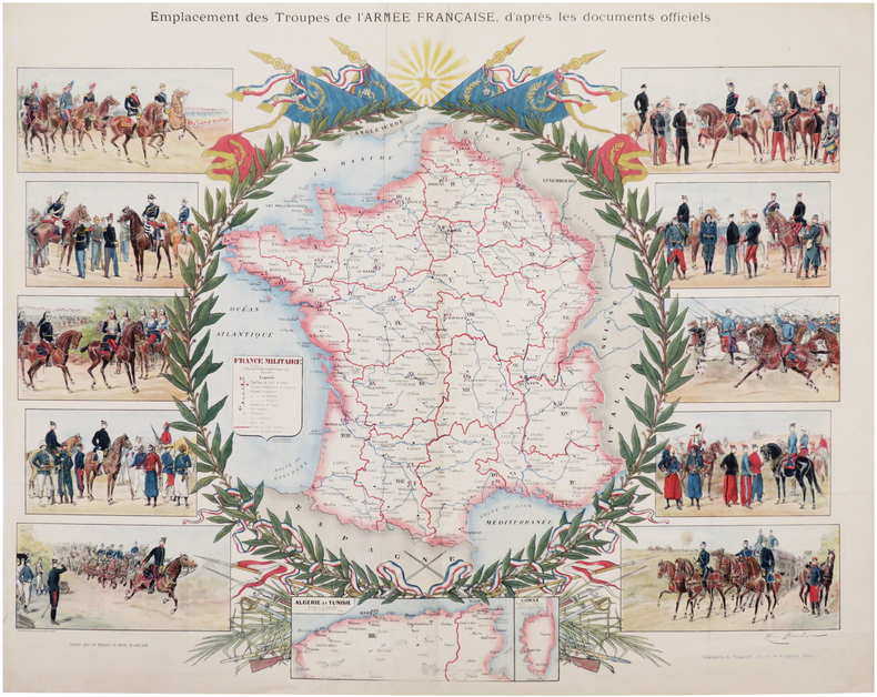
BRESSLER (Henri) & TROPÉ (Henri).
Emplacement des troupes de l'Armée Française, d'après les documents officiels.
Ducourtioux & Huillard, [circa 1895]. Lithographie en couleurs de 507 x 635 mm.
Riferimento per il libraio : LBW-7254
|
|
|
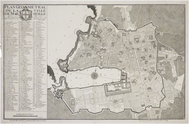
BRESSON (Jean-Pierre).
[MARSEILLE] Plan géométral de la ville de Marseille.
Marseille, Jean-Antoine Bresson, 1773. 352 x 554 mm.
Riferimento per il libraio : LBW-8847
|
|
|
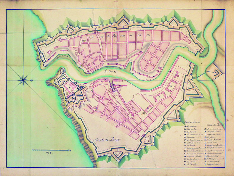
BREST. MANUSCRIT.
[Plan de la ville et du château de Brest].
[circa 1700]. 490 x 640 mm.
Riferimento per il libraio : LBW-4186
|
|
|
BRETON (André)
Le Jeu de Marseille
Marseille, André Dimanche, 1983. In-12, non paginé, en feuilles, couverture originale imprimée.
Riferimento per il libraio : 23599

|
|
|
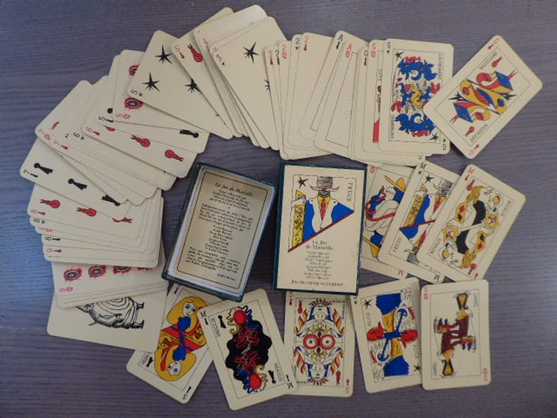
BRETON André - BRAUNER V. - ERNST Max - CHAR R. - DUCHAMP Marcel
LE JEU DE MARSEILLE. - Jeu De Cartes Surréaliste. TAROT des SURREALISTES.
Grimaud - André Dimanche Marseille S.D. Jeu de 54 cartes ( 90 X 60 mm ) sous coffret illustré en couleurs. Jeu en couleurs édité à Marseille par André Dimanche et fabriqué selon un procédé artisanal par le Maitre-Cartier Grimaud. créé sur le modèle du tarot de Marseille par les surréalistes présents à la Villa Air-Bel en 1940. Les seize cartes de figures ( indépendamment du joker Ubu, par Jarry ) ont été dessinées, par Arthur Adamov - Victor Brauner - René Char - René Daumal - Robert Delanglade - Oscar Dominguez - Marcel Duchamp - Max Ernst - Jacques Hérold - Sylvain Itkine - Wifredo Lam - André Masson - Benjamin Peret - Tristan Tzara. Les lames d'honneurs représentent Alice, Lautréamont, Freud, Baudelaire, la religieuse Portugaise, Paracelse, Novalis, Pancho Villa, etc. Très bel exemplaire à l'état de neuf bien complet de la petite notice dépliante.
Riferimento per il libraio : 462190
|
|
|
Brewer, Leslie
Britain By Road : A Car and Coach Travel Digest
No marks or inscriptions to contents. Slight creasing to front corners, creasing to spine. Very clean very tight pages with slightly dusty boards, small mark to front, a little rubbing to spine and no bumping to corners. 214pp. Routes around Britain for the car traveller using many by-roads to get the traveller to a destination more quickly (1963 style). The book avoids the industrial areas - as these are not 'worthy of recommendation to the tourist' !

|
|
|
Brian J Page, Prints and Maps
Print List - Decorative Prints and Various.
Essex England 1980. 4to. 2 pages stapled printed on pink paper. Very Good. Inventory of Prints & Maps including prices including engraved portrait of Walter Raleigh. Essex, England, [1980?] unknown
Riferimento per il libraio : 77-0509
|
|
|
BRIAND Pierre-César:
Les jeunes voyageurs en Europe, ou description raisonnée des divers pays compris dans cette partie du monde.
Paris, Lelong, 1823. 5 volumes in-12 de [4]-IV-251; [4]-231; [4]-239; [4]-255-[1]; 292 pages, demi-veau glacé rouge, dos lisse orné de filets et fleurons dorés.
Riferimento per il libraio : 19071
|
|
|
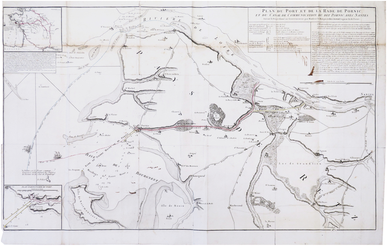
BRIE-SERRANT (Clément-Alexandre, marquis de).
[PORNIC] Plan du port et de la rade de Pornic et du canal de communication du dit Pornic avec Nantes.
[1789]. 530 x 882 mm.
Riferimento per il libraio : LBW-7944
|
|
|
Briey (Deux Cartes)
La Bataille de la Frontière Août 1914
hardcover. Good. Access codes and supplements are not guaranteed with used items. May be an ex-library book. hardcover
Riferimento per il libraio : 0428684831.G ISBN : 0428684831 9780428684839
|
|
|
BRIGHTON.
Plan of Brighton [with comprehensive Street Index]. W. H. Smith's Series of Reduced Ordnance Survey Maps for Tourists by J. Bartholomew. [Scale: 2.5 inches to One Mile.] FINE COPY AND A RARE SURVIVAL
8vo., folding coloured map on cloth measuring 17 x 23 inches (approx. 43 x 59 cms) folding in 18 panels to 6.5 x 4.25 inches (approx. 17 x 11 cms); original limp cloth wrappers printed in red and black, radial corners, a near fine copy. Includes comprehensive street index keyed to map. EXTREMELY SCARCE IN THIS CONDITION.
|
|
|
Brill, Edith
Portrait of the Cotswolds
No marks or inscriptions. A very clean very tight copy with bright unmarked boards, slight foxing to top of page edges and no bumping to corners. Dust jacket price clipped but not marked or creased with small nicks to upper edge and a chip to lower edge. 192pp. Same year reprint of the first edition of Edith Brill's excellent study of the Cotswolds.

|
|
|
BRION de la TOUR (Louis) & LAVALLÉE (Joseph).
[CORSE] Département du Golo, partie de l'île de Corse – Département de Liamone, partie de l'île de Corse.
[Paris, Brion, 1799]. En deux feuilles de 170 x 215 et 167 x 212 mm.
Riferimento per il libraio : LBW-7284

|
|
|
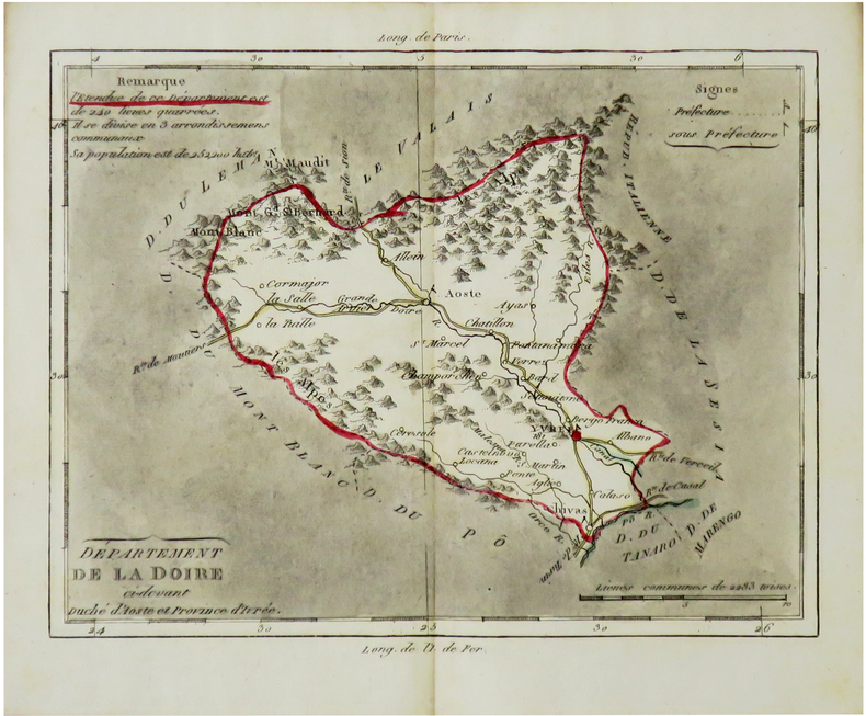
BRION de la TOUR (Louis) & LAVALLÉE (Joseph).
[DOIRE/PIÉMONT] Département de la Doire ci-devant Duché d'Aoste et province d'Ivrée.
[Paris, Brion, 1803]. 170 x 208 mm.
Riferimento per il libraio : LBW-7304
|
|
|
BRION de la TOUR (Louis) & LAVALLÉE (Joseph).
[GERS] Département du Gers, ci-devant partie de la Gascogne.
[Paris, Brion, 1798]. 172 x 215 mm.
Riferimento per il libraio : LBW-7286

|
|
|
BRION de la TOUR (Louis) & LAVALLÉE (Joseph).
[GIRONDE] Département de la Gironde, ci-devant partie de la Guienne.
[Paris, Brion, 1796]. 223 x 163 mm.
Riferimento per il libraio : LBW-7287

|
|
|
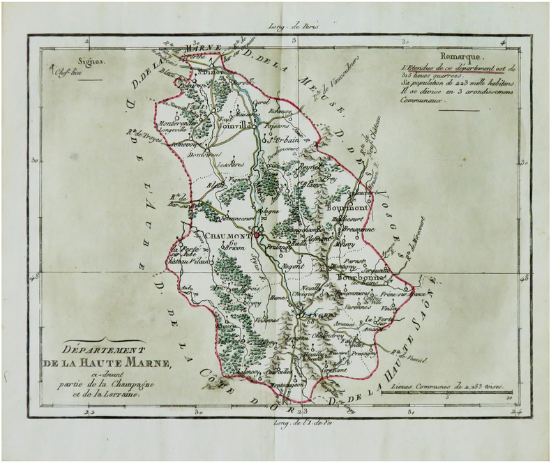
BRION de la TOUR (Louis) & LAVALLÉE (Joseph).
[HAUTE-MARNE] Département de la Haute Marne, ci-devant partie de la Champagne et de la Lorraine.
[Paris, Brion, 1792]. 173 x 219 mm.
Riferimento per il libraio : LBW-7292
|
|
|
BRION de la TOUR (Louis) & LAVALLÉE (Joseph).
[JEMMAPPES/BELGIQUE] Département de Jemmappes, partie de la Belgique.
[Paris, Brion, 1802]. 169 x 208 mm.
Riferimento per il libraio : LBW-7305

|
|
|
BRION de la TOUR (Louis) & LAVALLÉE (Joseph).
[LOT] Département du Lot, ci-devant le Quercy, et autres parties de la Guienne.
[Paris, Brion, 1796]. 171 x 213 mm.
Riferimento per il libraio : LBW-7289

|
|
|
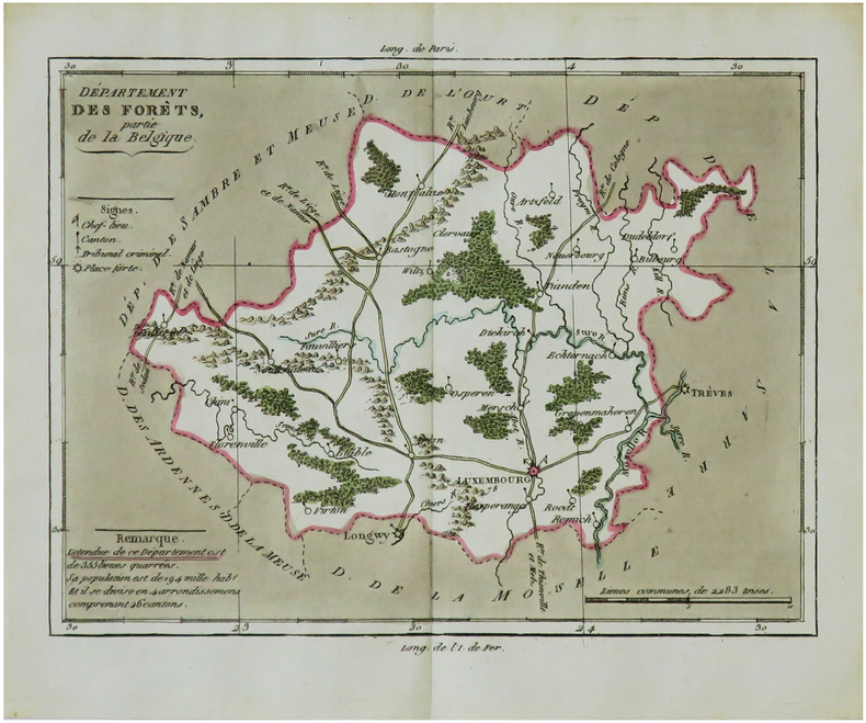
BRION de la TOUR (Louis) & LAVALLÉE (Joseph).
[LUXEMBOURG] Département des Forêts, partie de la Belgique.
[Paris, Brion, 1802]. 167 x 209 mm.
Riferimento per il libraio : LBW-7298
|
|
|
BRION de la TOUR (Louis) & LAVALLÉE (Joseph).
[MAINE-et-LOIRE] Département de Mayenne et Loire, ci-devant partie de l'Anjou, et du Saumurois.
[Paris, Brion, 1794]. 170 x 213 mm.
Riferimento per il libraio : LBW-7294

|
|
|
BRION de la TOUR (Louis) & LAVALLÉE (Joseph).
[MANCHE] Département de la Manche, ci-devant partie de la Normandie.
[Paris, Brion, 1793]. 225 x 162 mm.
Riferimento per il libraio : LBW-7291

|
|

 Ricevere i risultati per e-mail
 Scaricare i risultati in PDF
 RSS feed
 Link
Link


