|
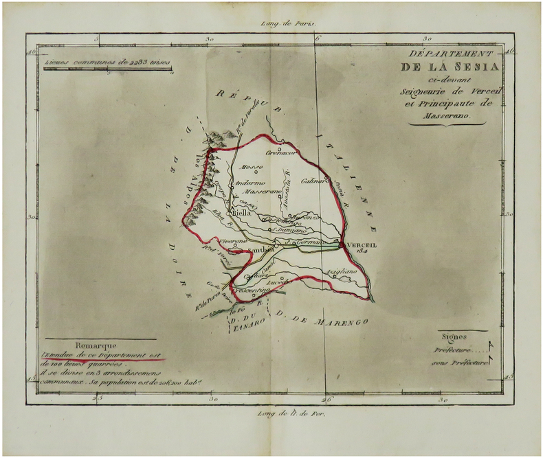
BRION de la TOUR (Louis) & LAVALLÉE (Joseph).
[SESIA/PIÉMONT] Département de la Sesia ci-devant seigneurie de Verceil et Principauté de Masserano.
[Paris, Brion, 1803]. 170 x 208 mm.
Riferimento per il libraio : LBW-7300
|
|
|
BRION de la TOUR (Louis) & LAVALLÉE (Joseph).
[STURA/PIÉMONT] Département de la Stura ci-devant Marquisats de Saluces et de Cera.
[Paris, Brion, 1803]. 170 x 209 mm.
Riferimento per il libraio : LBW-7299

|
|
|
BRION de la TOUR (Louis) & LAVALLÉE (Joseph).
[TANARO/PIÉMONT] Département du Tanaro ci-devant Comté d'Asti et province d'Acqui.
[Paris, Brion, 1803]. 170 x 209 mm.
Riferimento per il libraio : LBW-7302

|
|
|
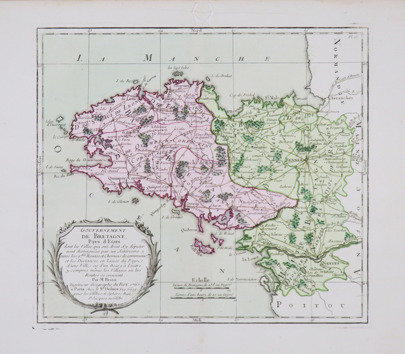
BRION de la TOUR (Louis).
[BRETAGNE] Gouvernement de Bretagne.
Paris, Sr. Desnos, 1765 [1766]. 228 x 253 mm.
Riferimento per il libraio : LBW-4473
|
|
|
BRION de la TOUR (Louis).
[Carte du pays d'Aunis avec les côtes].
[XIXe siècle]. 375 x 400 mm, repliée.
Riferimento per il libraio : LBW-2799
|
|
|
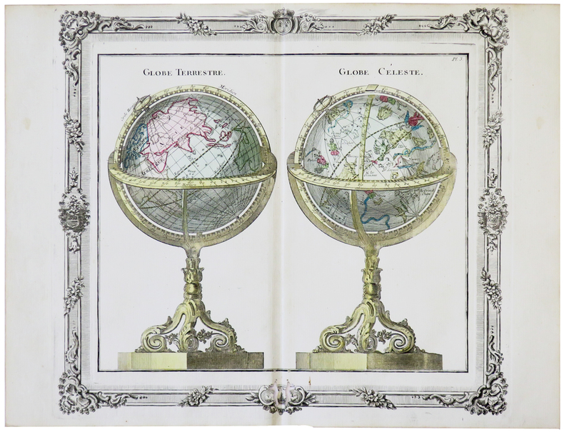
BRION de la TOUR (Louis).
[GLOBES] Globe terrestre - Globe céleste.
[Paris, Desnos, 1772]. 280 x 310 mm.
Riferimento per il libraio : LBW-5688
|
|
|
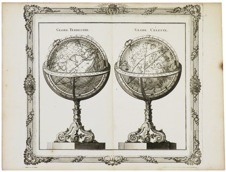
BRION de la TOUR (Louis).
[GLOBES] Globe terrestre - Globe céleste.
[Paris, Desnos, 1772]. 280 x 305 mm.
Riferimento per il libraio : LBW-5732
|
|
|
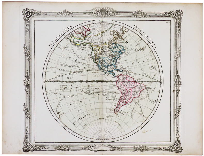
BRION de la TOUR (Louis).
[HÉMISPHÈRES] Hémisphère occidental - Hémisphère oriental.
[Paris, Desnos, 1766]. En deux feuilles, chacune 278 x 305 mm.
Riferimento per il libraio : LBW-5766
|
|
|
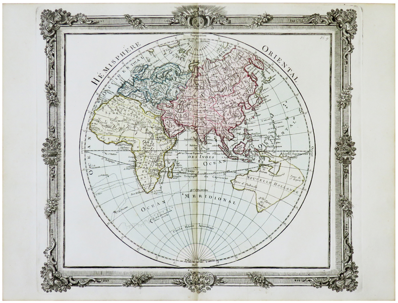
BRION de la TOUR (Louis).
[HÉMISPHÈRES] Hémisphère occidental - Hémisphère oriental.
[Paris, Desnos, 1772]. En deux feuilles, chacune 282 x 312 mm.
Riferimento per il libraio : LBW-5635
|
|
|
BRION de la TOUR (Louis).
[POLOGNE/LITUANIE] États de Pologne et de Lithuanie.
Paris, Desnos, 1766 [1772]. 283 x 310 mm.
Riferimento per il libraio : LBW-5669

|
|
|
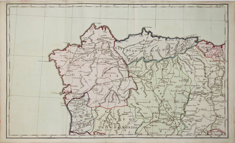
BRION de la TOUR (Louis).
[POSTES] Carte d'Espagne et de Portugal, comprenant les routes des postes et autres de ces deux roiaumes.
Paris, Sr. Desnos, 1766. En six feuilles pouvant être jointes pour former une carte de 765 x 845 mm.
Riferimento per il libraio : LBW-3332
|
|
|
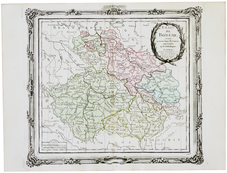
BRION de la TOUR (Louis).
[RÉPUBLIQUE TCHÈQUE] États de Bohême.
Paris, Desnos, 1766 [1772]. 280 x 310 mm.
Riferimento per il libraio : LBW-5681
|
|
|
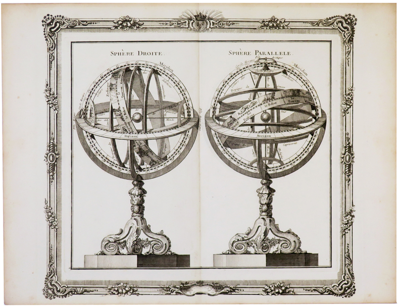
BRION de la TOUR (Louis).
[SPHÈRES ARMILLAIRES] Sphère droite - Sphère parallèle.
[Paris, Desnos, 1772]. 274 x 302 mm.
Riferimento per il libraio : LBW-5733
|
|
|
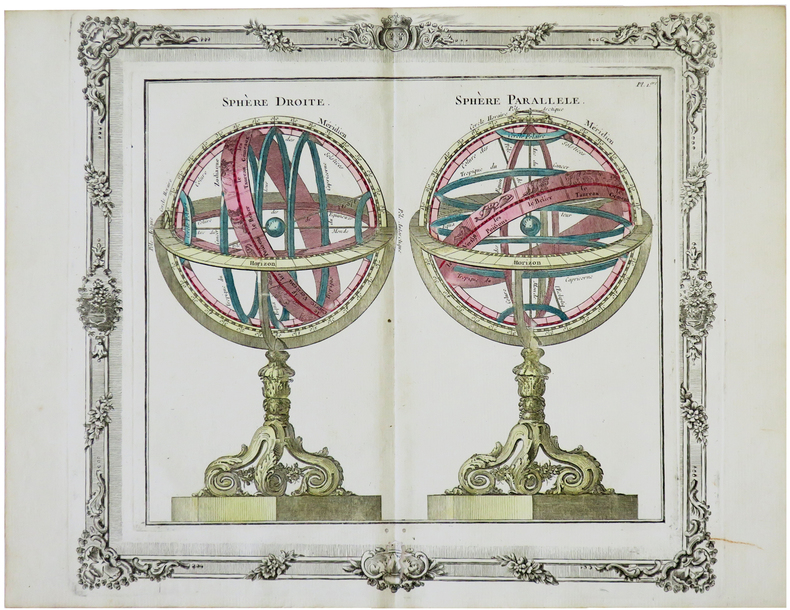
BRION de la TOUR (Louis).
[SPHÈRES ARMILLAIRES] Sphère droite - Sphère parallèle.
Paris, Desnos, 1772. 280 x 312 mm.
Riferimento per il libraio : LBW-5699
|
|
|
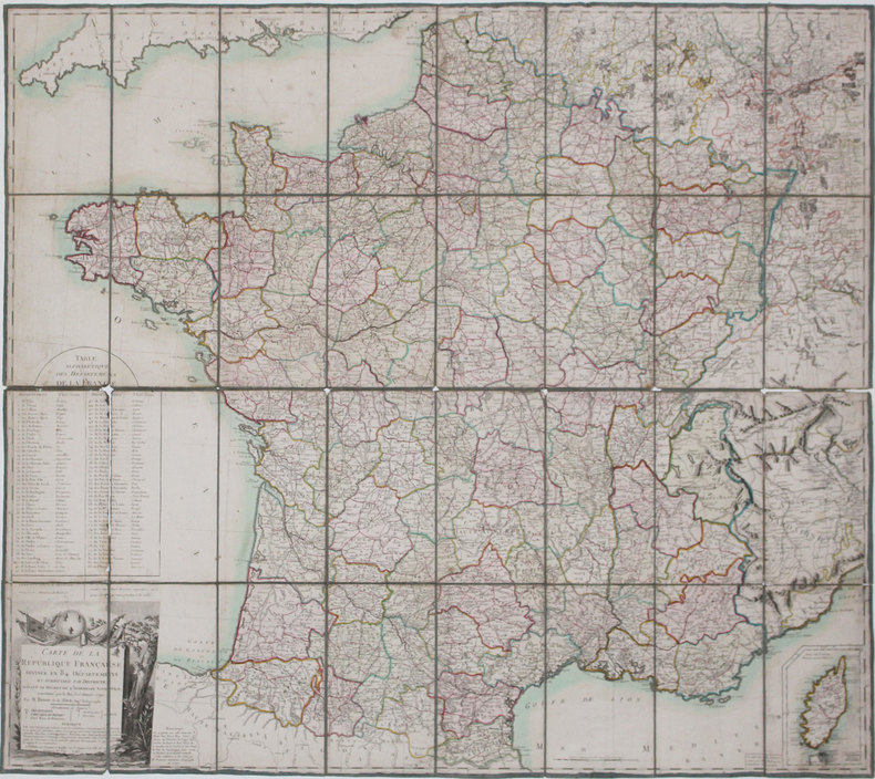
BRION de la TOUR (Louis).
Carte de la République Française divisée en 84 départemens, et subdivisée par districts, suivant le décret de l'Assemblée Nationale, sanctionné par le roi, le 15 janvier 1790.
Paris, Esnauts et Rapilly, 1793. En 32 sections montées sur toile et pliées, formant une carte de 0,99 x 1,12 m.
Riferimento per il libraio : LBW-3165
|
|
|
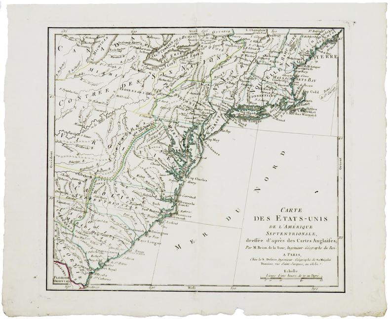
BRION de la TOUR (Louis).
Carte des États-Unis de l'Amérique septentrionale, dressée d'après les cartes anglaises.
Paris, S. Desnos, 1783. 227 x 258 mm.
Riferimento per il libraio : LBW-5154
|
|
|
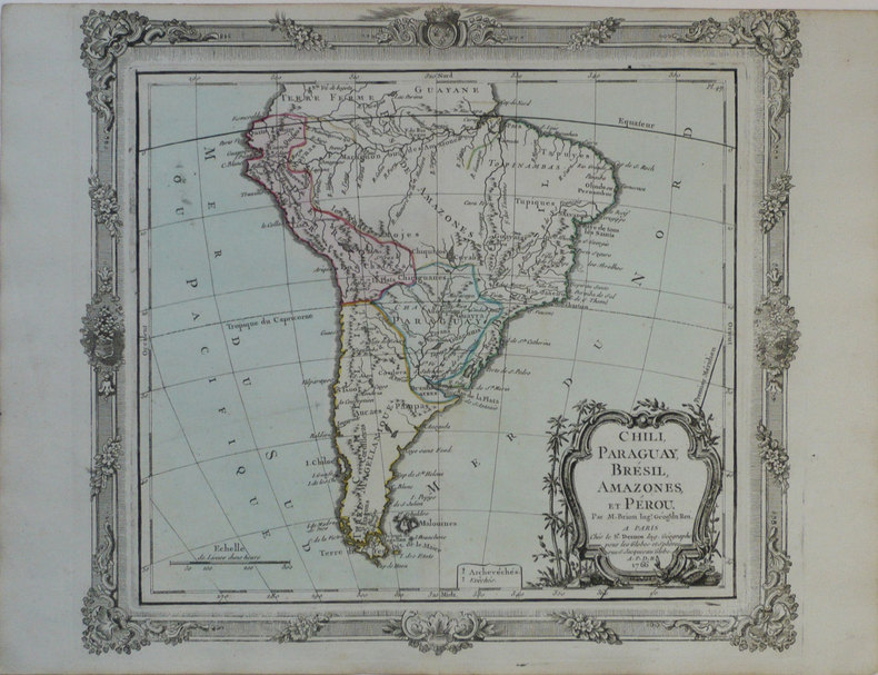
BRION de la TOUR (Louis).
Chili, Paraguay, Brésil, Amazones, et Pérou.
Paris, Sr. Desnos, 1766 [1772]. 280 x 313 mm.
Riferimento per il libraio : LBW-1189
|
|
|
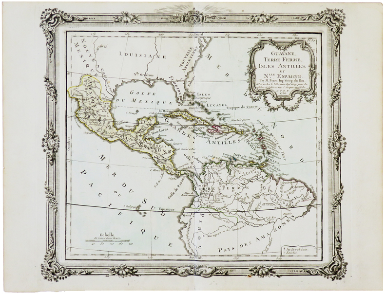
BRION de la TOUR (Louis).
Guayane, Terre Ferme, Isles Antilles et N.elle Espagne.
Paris, Desnos, 1766 [1772]. 280 x 310 mm.
Riferimento per il libraio : LBW-5649
|
|
|
BRION de la TOUR (Louis).
L'Amérique dressée pour l'étude de la géographie.
Paris, Desnos, 1764 [1772]. 280 x 310 mm.
Riferimento per il libraio : LBW-1199

|
|
|
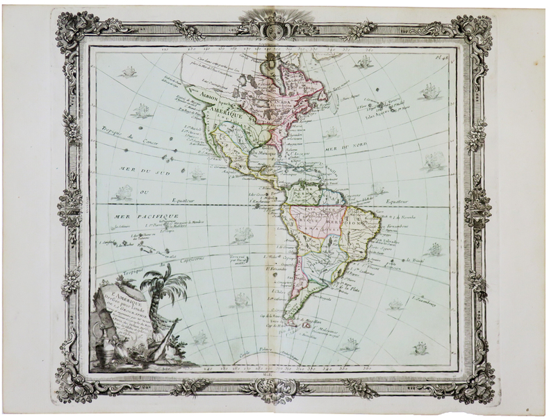
BRION de la TOUR (Louis).
L'Amérique dressée pour l'étude de la géographie.
Paris, Desnos, 1764 [1772]. 285 x 313 mm.
Riferimento per il libraio : LBW-5687
|
|
|
BRION de la TOUR (Louis).
L'Amérique méridionale.
Paris, Esnauts et Rapilly, 1780. 752 x 526 mm.
Riferimento per il libraio : LBW-5238

|
|
|
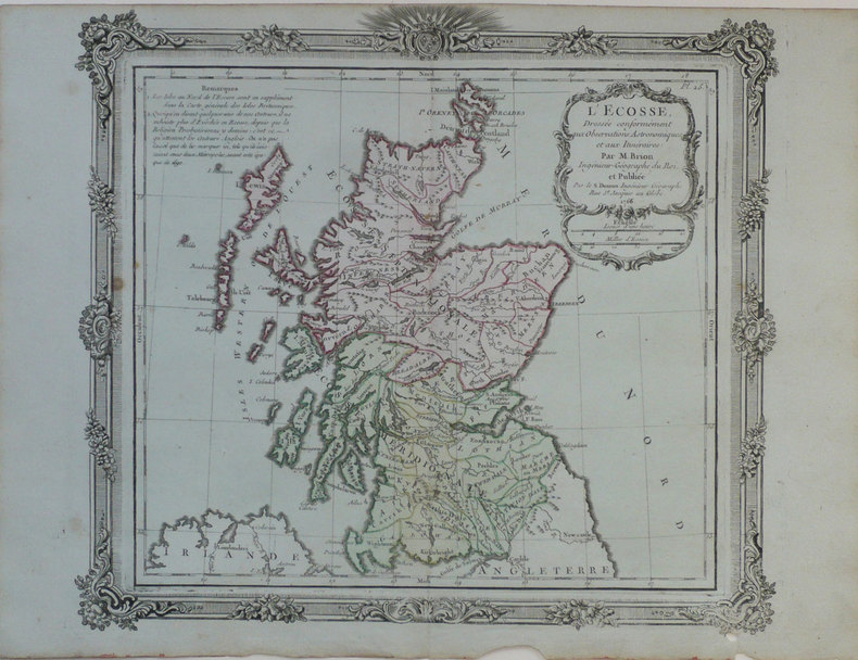
BRION de la TOUR (Louis).
L'Ecosse, dressée conformément aux observations astronomiques et aux itinéraires.
Paris, S. Desnos, 1766 [1772]. 280 x 310 mm.
Riferimento per il libraio : LBW-1223
|
|
|
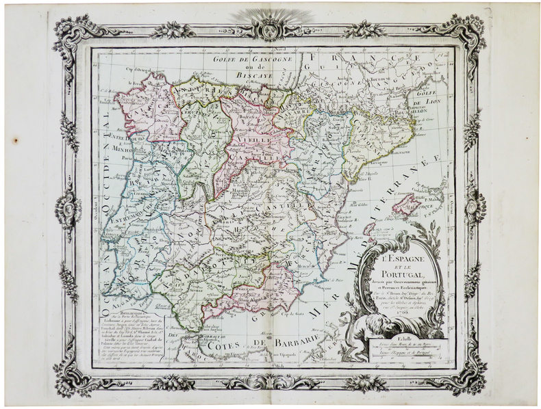
BRION de la TOUR (Louis).
L'Espagne et le Portugal.
Paris, Desnos, 1766 [1772]. 280 x 313 mm.
Riferimento per il libraio : LBW-5693
|
|
|
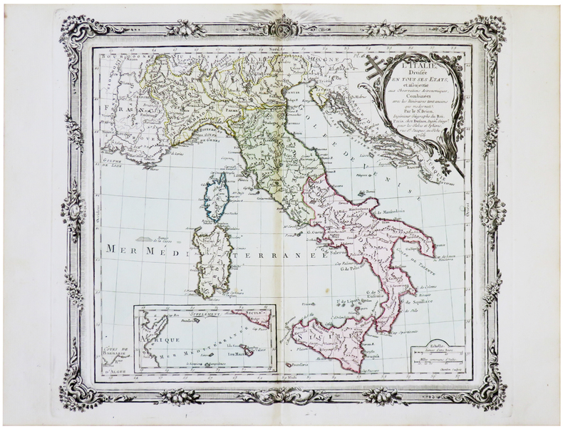
BRION de la TOUR (Louis).
L'Italie divisée en tous ses états.
Paris, Desnos, 1766 [1772]. 274 x 307 mm.
Riferimento per il libraio : LBW-5650
|
|
|
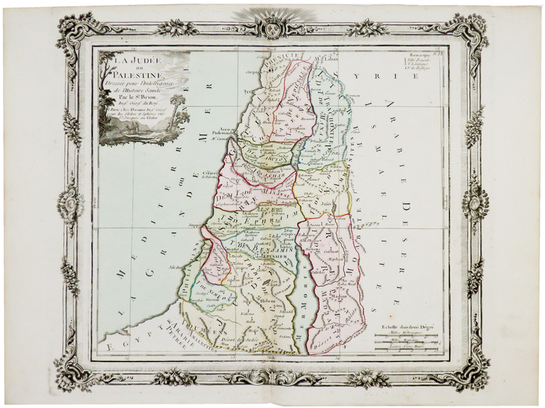
BRION de la TOUR (Louis).
La Judée ou Palestine.
Paris, Desnos, [circa 1760]. 280 x 312 mm.
Riferimento per il libraio : LBW-5177
|
|
|
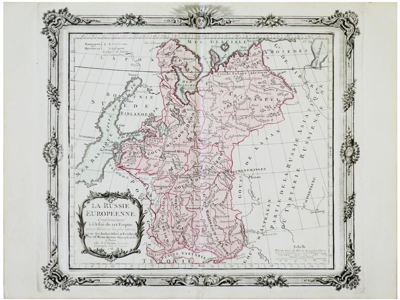
BRION de la TOUR (Louis).
La Russie européenne.
Paris, Desnos, 1766 [1772]. 279 x 313 mm.
Riferimento per il libraio : LBW-5672
|
|
|
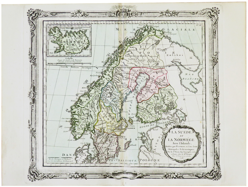
BRION de la TOUR (Louis).
La Suède et la Norwège avec l'Islande.
Paris, Desnos, 1766 [1772]. 275 x 307 mm.
Riferimento per il libraio : LBW-5703
|
|
|
BRION de la TOUR (Louis).
Le Danemark divisé par provinces et diocèses.
Paris, Desnos, 1766 [1772]. 280 x 315 mm.
Riferimento per il libraio : LBW-5686

|
|
|
BRION de la TOUR (Louis).
Partie de l'Afrique au delà de l'équateur, comprenant le Congo, la Cafrérie &c.
Paris, Desnos, 1766 [1772]. 275 x 307 mm.
Riferimento per il libraio : LBW-5639

|
|
|
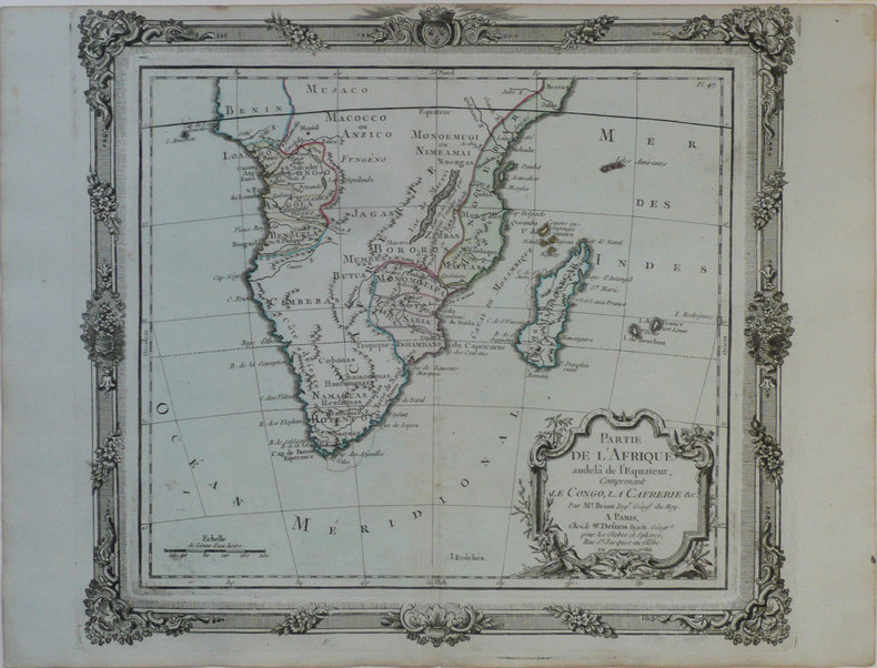
BRION de la TOUR (Louis).
Partie de l'Afrique audelà de l'équateur, comprenant le Congo, la Cafrérie &c.
Paris, Sr. Desnos, 1766 [1772]. 280 x 310 mm.
Riferimento per il libraio : LBW-1186
|
|
|
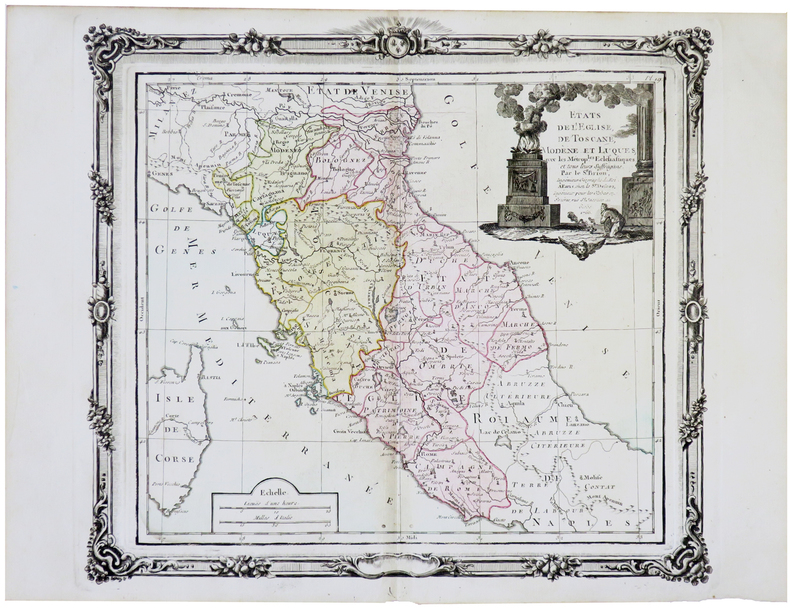
BRION de la TOUR (Louis).
États de l'Église, de Toscane, Modène et Luques.
Paris, Desnos, 1766 [1772]. 280 x 308 mm.
Riferimento per il libraio : LBW-5658
|
|
|
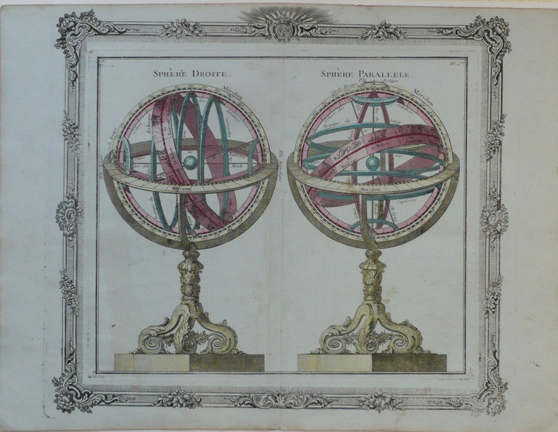
BRION de la TOUR (Louis);
Sphère droite - Sphère parallèle.
Paris Desnos 1772 280 x 310 mm.
Riferimento per il libraio : LBW-1245
|
|
|
Brion, de la Tour, L
Cercles de Bavière, de Franconie et de Souabe: divisés en toute leur Principautés et provinces. Altkolorierter Kupferstich mit Flächenkolorit.
Paris, Desnos, 1765. Blattgröße 26 x 34 cm. Bildgröße 23,3 x 26 cm.
Riferimento per il libraio : 28250

|
|
|
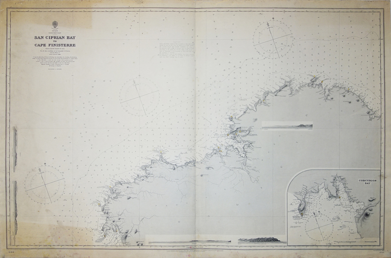
BRITISH ADMIRALTY HYDROGRAPHIC OFFICE.
[GALICE] Spain North West Coast. San Ciprian Bay to Cape Finisterre.
London, 1887. 650 x 982 mm.
Riferimento per il libraio : LBW-3223
|
|
|
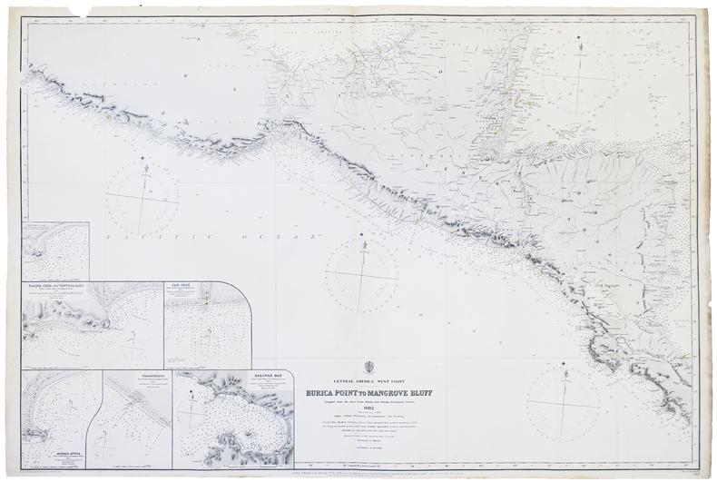
BRITISH ADMIRALTY.
[AMÉRIQUE CENTRALE] Central America - West coast. Burica Point to Mangrove Bluff.
London, 1882-1892. 654 x 978 mm.
Riferimento per il libraio : LBW-4995
|
|
|
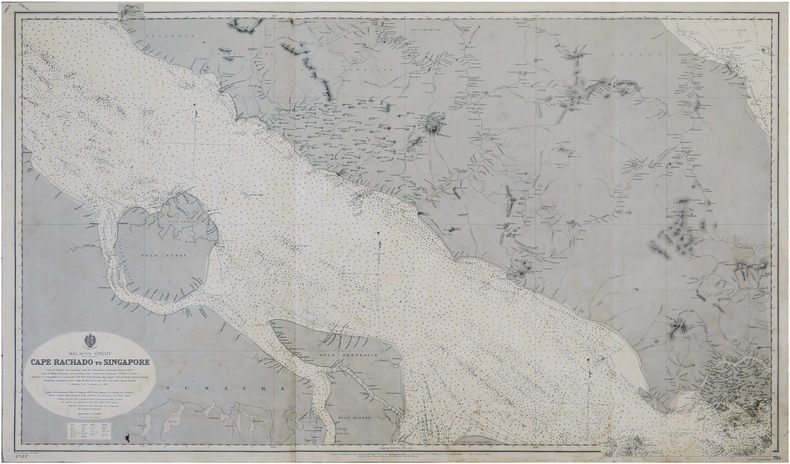
BRITISH ADMIRALTY.
[SINGAPOUR] Malacca Strait. Cape Rachado to Singapore.
London, J.D. Potter, 1896-1897. 0,66 x 1,11 m.
Riferimento per il libraio : LBW-7379
|
|
|
British Columbia (B.C.) Ferries
British Columbia (B.C.) Ferries - 1968 Route Map
9" x 4" - folds out to 24" x 18". Colour map on one side shows B.C. Ferry routes. Reverse side provides details of tourist destinations with colour photos, reservation details for the sailing to Prince Rupert, corporate contact details, and a brief statement by W.A.C. Bennett. Unmarked with moderate wear. A sound copy. Book

|
|
|
British Columbia Government Travel Bureau
British Columbia Road Map 1962-1963 - With Campsite and Fishing Guide
Traditional road map measuring 20" x 40" when unfolded. One side provides a colour map of the province. The back side provides very detailed information about campsites around the province and extensive information about B.C.'s native fish as well as hunting and fishing regulations, including fees. Unmarked with moderate wear. A sound vintage copy. Map

|
|
|
British Columbia Government Travel Bureau
British Columbia Road Map 1964-1965 - With Campsite and Fishing Guide
Traditional road map measuring 20" x 40" when unfolded. One side provides colour maps of the province. The back side provides very detailed information about campsites around the province and extensive information about B.C.'s native fish as well as hunting and fishing regulations, including fees. Unmarked with moderate wear. A sound vintage copy. Map

|
|
|
British Columbia Travel Bureau
British Columbia 1959 Road Map/Travel Guide with Campsite Locations
Traditional road map measuring 31" x 24" when unfolded. Provides excellent colour map coverage of the Province as well as detailed, and now historic, information about campsites in regions around the province. Moderate wear. Four-inch opening along a fold. A quality vintage copy. Map

|
|
|
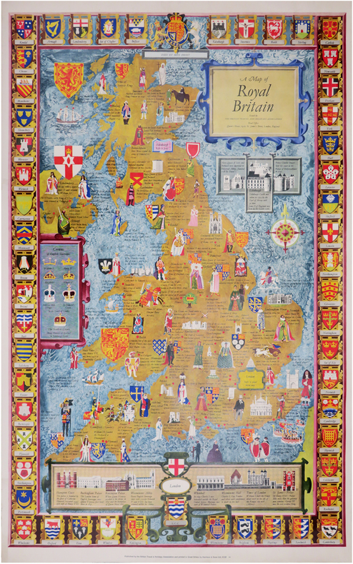
BRITISH TRAVEL and HOLIDAYS ASSOCIATION.
A map of Royal Britain.
Londres, British Travel and Holidays Association, [circa 1960]. 983 x 608 mm.
Riferimento per il libraio : LBW-8445
|
|
|
British War Office
Lille-Ghent British Military Map - Second Edition, June 1944 - Sheet No. 2
34.5" x 25" paper map. Identifies Roads, Railways, International Boundaries, Churches, Forts, Lighthouses, Woodlands. Average wear. Book

|
|
|
British War Office
World War II British Military Map of Le Havre, France N.W. 48/2
34.5" x 26.5" reinforced paper. N.W. 48/2. Geographical Section, General Staff, No. 4072. Compiled and drawn at War Office, 1940. Heliographed and printed at Ordnance Survey, 1940. Identifies Land Aerodromes, Landing Grounds, Water Aerodromes, Radioelectric Stations, Explosives Areas, and more. Average wear and soiling. Name in ink in upper right corner. Name in pencil along top edge. Cover not included. Book
|
|
|
Brodie, Bernard; Butterfield, Richard D [Maps and Drawings by]
A LAYMAN'S GUIDE TO NAVAL STRATEGY
Princeton: Princeton University Press 1942. Second Printing. Hardcover. Octavo x 291 pages. In Very Good minus condition. Spine is gray with a black box and gilt lettering. Boards have minor shelf wear and a library identification sticker on the spine. Text block has pen writing on the front end page and minor foxing on some pages. Ex-Library. Shelved in Room G. 1372836. Special Collections. Princeton University Press hardcover
Riferimento per il libraio : 1372836
|
|
|
Brodrick, Alan Houghton (editor)
Normandy : The People's France
No marks or inscriptions. A very clean very tight copy with bright unmarked boards, very slight foxing to page edges and no bumping to corners. Dust jacket not price clipped or marked owith small tear/crease near upper front spine edge. Large fold-out map at rear in excellent condition. 316pp. Well illustrated study and guide for the area of Normandy in northern France. The same format as Mee's King's England.

|
|
|
Brooks, Alfred H, et al and Illustrated by Folding maps
Mineral Resources of Alaska: Report on Progress of Investigation in 1912.
Hardcover. Very Good. 1913 edition minor cover and edge wear. Previous owner's name on front flyleaf. Inside clean with no markings or writing all pull-out charts and maps very good. Nice copy satisfaction guaranteed. hardcover
Riferimento per il libraio : SHB-ALASKA-03-21-19
|
|
|
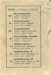
Brotkarten - Cartes de pain - Tessere del pane
Ausgegeben von der Schweizerischen Eidgenossenschaft an die Bevölkerung 1917-1919.
16°. 102 Karten in Schuber Inhaltsverzeichnis auf Schuber in Schuber Karten altersmässig etwas angestaubt ohne Gebrauchsspuren; Schuber gebleicht mit Gebrauchsspuren; leicht beschabt; Ecken etwas bestossen Dreisprachig: deutsch französisch und Italienisch. Aus dem Inhalt: Normalkarten - Kinderkarten - Zusatzkarten - Kurzfristige Karten - Militärkarten. unknown
Riferimento per il libraio : 87699BB
|
|
|
Browicz, Kazimierz
Chorology of Trees and Shrubs in South-West Asia and Adjacent Regions. Maps. Vol. 8 part 1 [and part two]. 2 Bände.
Kórnik [near Poznan], [Eigenverlag], 1989. Qu.-Fol. Mit zus. 51 Karten. OKart-Bde. m. Deckelschild.
Riferimento per il libraio : 57703

|
|
|
Browicz, Kazimierz u. Jerzy Zielinski
Chorology of Trees and Shrubs in South-West Asia and Adjacent Regions. Volume one [1]. Maps.
Kórnik near Poznan, [Eigenverlag], 1978. Qu.-Fol. Mit 100 Karten. OKart. m. mont. Orig.-Fotografie am Vorderdeckel.
Riferimento per il libraio : 57704

|
|
|
Browicz, Kazimierz u. Jerzy Zielinski
Chorology of Trees and Shrubs in South-West Asia and Adjacent Regions. Volume seven [7]. Maps.
Kórnik near Poznan, [Eigenverlag], 1988. Qu.-Fol. Mit 50 Karten. OKart. m. Deckelschild.
Riferimento per il libraio : 57702

|
|

 Ricevere i risultati per e-mail
 Scaricare i risultati in PDF
 RSS feed
 Link
Link


