|
DAHI Soheyl (dir.):
Poets/Painters. 30 cards + 1.
San Fransisco, Sore Dove Press, 2008. 31 cartes en carton de 21,7 x 14 cm, dont une "carte de titre", imprimées en noir au verso, sous emboîtage de toile bleu nuit, titre argenté au premier plat, ruban noir pour extraire les cartes de l'emboîtage. Comme neuf.
Referentie van de boekhandelaar : 7673

|
|
|
DAHLBERG, ERIK.
Giöksholm. J.v.d. Aveelen Sc.
Holmiæ (Stockholm), 1702. 22,5x36,5 cm. Kobberstukket prospekt fra Svecia Antiqva et Hodierna. Et par smårifter i marginer, intet tab.
Referentie van de boekhandelaar : 28094
|
|
|
DAHLBERG, ERIK.
Giöksholm. J.v.d. Aveelen Sc.
Holmiæ (Stockholm), 1702. 22,5x36,5 cm. Kobberstukket prospekt fra Svecia Antiqva et Hodierna. Et par smårifter i marginer, intet tab.
|
|
|
DAHLBERG, ERIK.
Saalstad. W. Swidde Sculp.
Holmiæ (Stockholm), 1693. 21,5x41,5 cm. Kobberstukket prospekt med ridende og vognkørende folk i forgrunden. Fra Svecia Antiqva et Hodierna.
Referentie van de boekhandelaar : 28092
|
|
|
DAHLBERG, ERIK.
Saalstad. W. Swidde Sculp.
Holmiæ (Stockholm), 1693. 21,5x41,5 cm. Kobberstukket prospekt med ridende og vognkørende folk i forgrunden. Fra Svecia Antiqva et Hodierna.
|
|
|
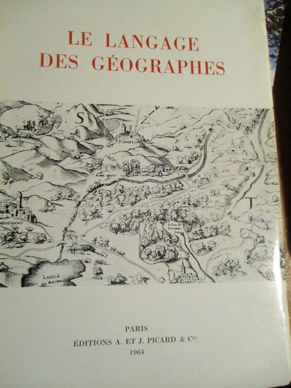
Dainville ( François de)
le langage des géographes
1964 Paris Picard et Cie 1964 In8 broché 384 pages 24 planches hors texte Index des termes très bon état
Referentie van de boekhandelaar : 5800
|
|
|
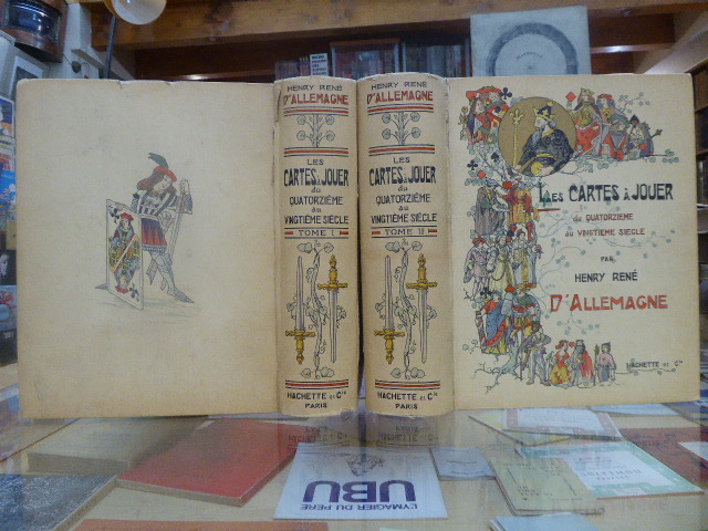
DALLEMAGNE Henry-René
LES CARTES À JOUER du Quatorzième au Vingtième Siècle.
Librairie Hachette & Cie Paris 1906 2 volumes grands et forts in-4 ( 325 X 265 mm ) de XVI-504 et 640 pages, cartonnage éditeur illustré en couleurs, tête dorée. 3200 reproductions de cartes dont 956 en couleurs, 12 planches hors-texte coloriées à l'aquarelle, 25 phototypies, 116 enveloppes illustrées pour jeux de cartes & 340 vignettes & vues diverses. Edition originale et premier tirage. Minimes défauts aux mors et aux coiffes, ( comme toujours ), sinon très bel exemplaire, bien complet de ses serpentes, condition rare.
Referentie van de boekhandelaar : 684269
|
|
|
Dalley, Sam (editor)
The Independent Hostel Guide 1995; UK and Ireland
No marks or inscriptions and no creasing to covers. A very clean very tight copy with bright unmarked boards and no bumping to corners. 96pp. The first in a series of guides for outdoor enthusiasts and budget travellers.

|
|
|
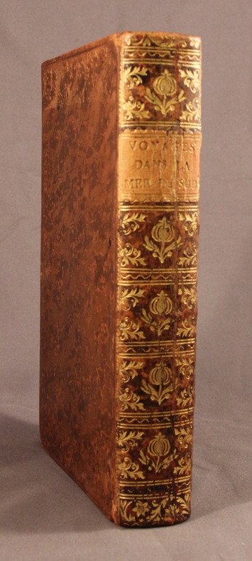
DALRYMPLE Alexander.; FREVILLE M. de (trad.):
Voyages dans la mer du Sud, par les Espagnols et les Hollandois.
A Paris, Chez Saillant & Nyon; Pissot, 1774. In-8 de [4]-XIV-[2]-502-[2] pages, plein veau brun moucheté, dos lisse orné de fleurons et motifs dorés, étiquette de titre orange, plats encadrés d’un filet à froid, tranches rouges.
Referentie van de boekhandelaar : 2118
|
|
|
Dalrymple, Byron; Maps by Delos D Rowe Associates with basic maps courtesy ofRand McNally & Company
Complete Guide To Hunting Across North America
Harper & Row Publishers 1970-01-01. Hardcover. Like New. 9x6x2. 1970 NO Dust cover! Book: New inside and Out! Clean & Crisp Pages. Email for more info/pics Harper & Row, Publishers hardcover
Referentie van de boekhandelaar : 220326041 ISBN : 1199360163 9781199360168

|
|
|
Dalrymple, Byron; Maps by Delos D Rowe Associates with basic maps courtesy ofRand McNally & Company
Complete Guide To Hunting Across North America
Harper & Row Publishers 1970-01-01. hardcover. New. In shrink wrap. Looks like an interesting title! Harper & Row, Publishers hardcover
Referentie van de boekhandelaar : Q-1199360163 ISBN : 1199360163 9781199360168
|
|
|
Dalrymple, William; Endpaper Maps, 12 Pages of Photos [Illustrator]
From the Holy Mountain: A Journey in the Shadow of Byzantium
HarperCollins 1997-01-01. Hardcover. New. In shrink wrap. Looks like an interesting title! HarperCollins hardcover
Referentie van de boekhandelaar : Q-0002555093 ISBN : 0002555093 9780002555098

|
|
|
Daly RN BA MEd(Hons) BHSc(N) PhD MACE AFACHSE FCN FRCNA, John/ Speedy RN BA(Hons) DipEd MURP EdN MAPS FANZCMHN, Sa
Leadership and Nursing: Contemporary perspectives 2e Year Books
Churchill Livingstone 2014. Paperback. New. 2nd edition. 296 pages. 9.65x6.89x0.71 inches. Churchill Livingstone paperback
Referentie van de boekhandelaar : x-0729541533 ISBN : 0729541533 9780729541534

|
|
|
Daly RN BA MEd(Hons) BHSc(N) PhD MACE AFACHSE FCN FRCNA, John; Speedy RN BA(Hons) DipEd MURP EdD MAPS FANZCMHN, Sandra; Jackson
Leadership and Nursing: Contemporary perspectives Year Books
like new. unknown
Referentie van de boekhandelaar : 21683857 ISBN : 0729541533 9780729541534
|
|
|
Daly RN BA MEd(Hons) BHSc(N) PhD MACE AFACHSE FCN FRCNA, John; Speedy RN BA(Hons) DipEd MURP EdD MAPS FANZCMHN, Sandra; Jackson
Leadership and Nursing: Contemporary perspectives Year Books
new. unknown
Referentie van de boekhandelaar : 21683857-n ISBN : 0729541533 9780729541534
|
|
|
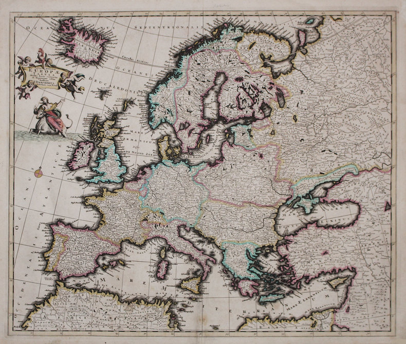
DANCKERTS (Justus).
Accuratissima Europæ tabula.
Amsterdam, [circa 1696]. 492 x 580 mm.
Referentie van de boekhandelaar : LBW-3222
|
|
|
Danckerts, Justus:
Novissima et accuratissima Helvetiae, Rhaetiae, Valesiae et Partis Sabaudiae Tabula. Ex officina Justi Danckerts
Format: 48,5 x 56,5 cm (bis zur äußeren Einfassungslinie beschnitten). *Generalkarte der Schweiz. Justus Danckerts (1635-1701) war Kupferstecher und Verleger in Amsterdam, Sohn des Kartenhändlers Cornelius Danckerts, er gründete um 1656 eine eigene Kartenoffizin. Gut erhalten. Landkarten de
|
|
|
DANGER Fernand
"Cours de législation et économie rurales; livre 1 : Le bornage."
Paris, Editions Eyrolles, 1948. "16 x 24, 307 pp., broché, bon état (couverture défraîchie; cachets d'ex-propriétaire dont 1 sur la couverture)."
Referentie van de boekhandelaar : 91159
|
|
|
Daniel Rops (Henri Petiot, dit ; 1901-1965) :
Histoire de l’Eglise du Christ. L’Eglise des Apôtres et des Martyrs. Orné de bois gravés par Jean Lébedeff.
Librairie Arthème Fayard (imprimerie Coulouma), 1948; 2 tomes in-8 (228 mm), brochés, couverture crème rempliée et illustrée ; 491, [3 bl.]; 505, [5 bl.] pp.
Referentie van de boekhandelaar : 21613

|
|
|
Daniel Rops (Henri Petiot, dit ; 1901-1965) :
Histoire Sainte. I Le Peuple de la Bible (2T) ; II Jésus en son temps (2T). Orné de bois gravé par Jean Lébedeff.
Librairie Fayard, 1946-1945 ; quatre tomes in-8 (228 mm), brochés, couvertures rempliées décorées ; 238; 329, [5 bl.] ; 410, [3 bl.], 1 carte dépliante ; 392, un plan dépliant ; frontispices, figures, lettrines, culs-de-lampe gravés sur bois et tirés en bistre.
Referentie van de boekhandelaar : 21612

|
|
|
Danielle LECOQ, Michel LEQUENNE et Frank LESTRINGANT
LA FABRIQUE DU MONDE : MAPPEMONDES et CARTES des DECOUVERTES
Un ouvrage de 62 pages, format 250 x 210 mm, illustré, broché couverture couleurs rempliée, publié en 1992, Société des Découvertes / Henri Berger Productions, bon état
Referentie van de boekhandelaar : LFA-126745191
|
|
|
Danielow, Iwan.
Carte des europäisch- und eines Theils des asiatisch-russischen Reichs nach den neuesten astronomischen Ortsbestimmungen den grossen Atlas und andern Karten des russisch-Kaiserl. Karten-Depots verfasst, in Gouvernements eingetheilt, die Grentzen nach den letzten Friedenschlüssen berichtiget, dann die Post- und andere Hauptstrassen mit Bemerkung der Ortsentfernungen eingetragen. Carte de la partie européene et asiatique de l'Empire de Russie [...]. Vienna, T[ranquillo] Mollo, 1812.
Engraved map printed from 12 copper plates, with 2 supplements, dimensions 147,5 x 129 cm (including supplements 165 x 140 cm). Constant ratio linear horizontal scale ca. 1:2.1 million. Relief shown by hachures. Coordinates approximate and based on Greenwich meridian. Mounted on rough cloth; left and right edges protected by green strips of cloth. In French and German. Shows extensive detail of waterways, political divisions, various roads, post stations, variously sized settlements. Consisting of 12 main sheets and 2 supplements, the map "probably appeared just in time to be offered as a map of the theatre of Napoleon's invasion of Russia. Showing the area between Gdansk and Tobolsk, and between the Kara Strait and Armenia, the map displays (in the words of a contemporary review) 'most clearly, without being in any way cluttered, [...] all conceivably important settlements, mountains, rivers, lakes, etc. in the Russian Empire and its adjacent parts, and it is quite rightly to be preferred to all other renderings of the war theatre hitherto published, as it includes Astrakhan and Tobolsk, and is quite complete in every other respect, while other maps often include not even Moscow, for which reason this map is recommended as a very useful tool to anybody wishing to follow the history of the present war'" (cf. Dörflinger II, 463f.). The two supplements added at the middle of the lower and right edge concern the areas of Tobolsk and Tiflis. - Some occasional waterstaining; Tobolsk supplement fairly strongly wrinkled. The upper edge (beyond the plate) shows traces of former wall mounting. Dörflinger II, 463: Mol 39. Tooley I, 332 (without supplements). OCLC 964537090.

|
|
|
DANKERTS Justus (1635-1701)
Roma
Rara veduta prospettiva della città vista da Monte Mario. L'incisione è tratta dalla veduta incisa da Dominique Barriere nel 1649, rispetto alla quale risulta in controparte. "In alto, sopra il titolo, si vede lo stemma SPQR sormontato da una corona. IN basso a sinistra 12 righe di testo ed a destra una legenda di 42 numeri. Solo San Pietro è riconoscibile (neppure Castel Sant'Angelo lo è) da cui si deduce che la veduta è stata copiata e non realizzata dal vero; a conferma di questo la rappresentazione in controparte. Il prototipo da cui è tratta è la veduta incisa da Dominique Barriere nel 1649 con la quale peraltro coincidono anche i numeri e le voci di legenda. Già il De Jonghe aveva comunque realizzato nel 1665 una derivazione assai fedele del panorama del Barriere ed è probabile che a questa si sia rifatto il Dankerts" (cfr. Marigliani p. 211). Incisione su rame, in buono stato di conservazione.Non censita dai principali repertori. Rare perspective view of the city seen from Monte Mario. The panroama is taken from the view engraved by Dominique Barriere in 1649, to which it is in counterpart. At the top, above the title, we see the coat of arms SPQR surmounted by a crown. At the bottom left 12 lines of text and at the right a 42-number legend. Only St. Peter's is recognisable (not even Castel Sant'Angelo is recognisable) from which we deduce that the view was copied and not made from life; this is confirmed by the representation in counterpart. The prototype from which it is taken is the view engraved by Dominique Barriere in 1649, with which, moreover, the numbers and items in the legend also coincide. De Jonghe had already made a very faithful derivation of Barriere's view in 1665, and it is likely that Dankerts drew on it (cf. Marigliani p. 211). Engraving on copper, in a good state of preservation. Not listed in the main repertories. C. Marigliani, Le Piante di Roma…, p. 211, n. 117.

|
|
|
DANMARKSKORT - DE L'ISLE, (GUIALLAUME).
Carte du Royaume de Danemarc.
Paris, chez Dezauche succ. De L'Isle et Buache, 1780. 49,5x65,5 cm. Kobberstukket kort over Danmark med Skåne, Halland og blekinge. Original konturkolorering. Brede marginer med mindre rifter.
Referentie van de boekhandelaar : 31052
|
|
|
DANMARKSKORT - DELISLE, GUILLAUME.
Carte du Royaume de Danemarc.
Amsterdam, Covens et Mortier, c. 1710-33. 49x60,5 cm. Kobberstukket Danmarkskort med Skåne, Halland og Blekinge. På svært papir og med original fuld håndkolorering. Frisk eksemplar.
Referentie van de boekhandelaar : 31679
|
|
|
DANMARKSKORT - DE L'ISLE, (GUIALLAUME).
Carte du Royaume de Danemarc.
Paris, chez Dezauche succ. De L'Isle et Buache, 1780. 49,5x65,5 cm. Kobberstukket kort over Danmark med Skåne, Halland og blekinge. Original konturkolorering. Brede marginer med mindre rifter.
|
|
|
DANMARKSKORT - DELISLE, GUILLAUME.
Carte du Royaume de Danemarc.
Amsterdam, Covens et Mortier, c. 1710-33. 49x60,5 cm. Kobberstukket Danmarkskort med Skåne, Halland og Blekinge. På svært papir og med original fuld håndkolorering. Frisk eksemplar.
|
|
|
DANMARKSKORT - J.B. HOMANN.
Regni Daniae in quo sunt Ducatus Holsatia et Slesvicum Insulae Danicae, Provinciae Iutia Scania Blekingia... Nova Tabula... Iohann Hübneri.
Nürnberg, (ca. 1740). Kobberstukket Danmarkskort med samtidig håndkolorereing, 49,5x59 cm. Visende også Skåne, Halland og Blekinge og i øverste højre hjørne stor kartouche med rigsvåbnet. Kortet er indrammet under glas i fin ramme af brun birkefiner.
Referentie van de boekhandelaar : 49793
|
|
|
DANMARKSKORT - J.B. HOMANN.
Regni Daniae in quo sunt Ducatus Holsatia et Slesvicum Insulae Danicae, Provinciae Iutia Scania Blekingia... Nova Tabula... Iohann Hübneri.
Nürnberg, (ca. 1740). Kobberstukket Danmarkskort med samtidig håndkolorereing, 49,5x59 cm. Visende også Skåne, Halland og Blekinge og i øverste højre hjørne stor kartouche med rigsvåbnet. Kortet er indrammet under glas i fin ramme af brun birkefiner.
|
|
|
DANMARKSKORT - TARCIEU, P.F.
Royaume de Danemarck. Deuxieme Carte. Dannemarck propre Le Jutland et les Isles.
(Paris, u.år ca 1800). 33,5 x 44 cm. Kobberstukket Danmarkskort, frisk velbevaret og konturkoloreret. Brede marginer. (P.F. Tardieu sculpsit - P.J. Valet scripsit).
Referentie van de boekhandelaar : 25256
|
|
|
DANMARKSKORT - TARCIEU, P.F.
Royaume de Danemarck. Deuxieme Carte. Dannemarck propre Le Jutland et les Isles.
(Paris, u.år ca 1800). 33,5 x 44 cm. Kobberstukket Danmarkskort, frisk velbevaret og konturkoloreret. Brede marginer. (P.F. Tardieu sculpsit - P.J. Valet scripsit).
|
|
|
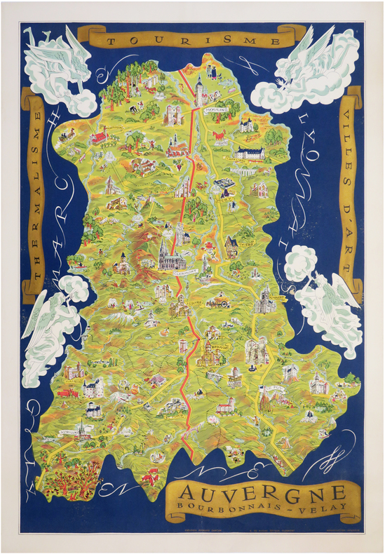
DANTAN (Fernand).
[AUVERGNE] Auvergne - Bourbonnais - Velay. Thermalisme - Tourisme - Villes d'art.
Clermont, G. de Bussac, [1950]. Lithographie en couleurs de 897 x 608 mm.
Referentie van de boekhandelaar : LBW-7141
|
|
|
DANTON.
Loi relative au rétablissement de la libre circulation des personnes & des choses dans l’Empire.
Bourg Imp. Philipon 1792 1 vol. Broché 1 bi-feuillet in-4 avec vignette gravée. Loi adoptée le 8 septembre 1792, au lendemain des massacres de septembre, sur proposition de Clavière et Danton, ministres respectivement des Finances et de la Justice.
Referentie van de boekhandelaar : 109516
|
|
|
DANTON.
Loi relative au rétablissement de la libre circulation des personnes & des choses dans l’Empire.
Bourg Imp. Philipon 1792 1 vol. Broché 1 bi-feuillet in-4 avec vignette gravée. Loi adoptée le 8 septembre 1792, au lendemain des massacres de septembre, sur proposition de Clavière et Danton, ministres respectivement des Finances et de la Justice.
Referentie van de boekhandelaar : 109516
|
|
|
Darby, Ben
Journey Through the Weald
No marks or inscriptions. A lovely clean very tight copy with bright unmarked boards and no bumping to corners. Dust jacket not price clipped or marked or torn or creased with slight traces of handling. 207pp. A descriptive, historical, geological, natural, architectural tour of the Weald from Romney Marsh to the village of Selbourne.

|
|
|
Dard, Antoine
Chez les ennemis d'Israël. Amorrheéns - Philistins. Hors texte, Cartes et Illustrations.
Paris, Victor Lecoffre 1906. (6) 331 (2) Seiten, mit mehreren Abbildungen auf Tafeln, Kl. 8° (17,5 x 12 cm), Priv.-Halbleineneinband.
Referentie van de boekhandelaar : 40636

|
|
|
Dardanellen.
Hellespont ou Detroit des Dardanelles pour servir de renseignement a la Carte des Limites des trois Empires ou Théatre de la Guerre presente 1788. [Paris], o. Dr., 1788.
Gest., alt ankolorierte Karte, Plattenmaß 645:295 mm (Blattmaß 666:340 mm). Unter Passepartout (800:455 mm). Zeigt die 65 Kilometer lange Meerenge der Dardanellen zwichen Ägäis und Marmarameer. Vier zusätzliche kleine Pläne (je 75:54 mm) zeigen "Les Forts des Dardanelles armes in Guerre", nämlich den "nouveau chateau d'Asie construit en 1658", den "nouveau chateau d'Europe construit en 1658", den "vieux chateau des Dardanelles en Asie" sowie den "vieux chateau d'Europe ou Dardanelle". 1788 trat Österreich in den Russisch-Türkischen Krieg ein. - Mit zeitgenössischem grünem Grenzkolorit. BM Cat. Maps 43980 (4).

|
|
|
Darlington, William.
FLORA CESTRICA. An Herborizing Companion for the Young Botanists of Chester County. Third Edition.
pp. 598 + Colored Map. XLib. (withdrawn). Some foxing and damp stain. Original full leather binding. Front board and spine almost detached. Early ownership of J.G. Getchell. William Darlington (1782-1863) was a Chester County physician and botanist, and a member of the U.S. House of Representatives from PA. He became a botanist at an early age, studied medicine, and graduated from the medical department of the University of Pennsylvania at Philadelphia in 1804. He went to the East Indies as ship's surgeon in 1806. He returned to West Chester in 1807 and was a practicing physician there for a number of years. He raised a company of volunteers at the beginning of the War of 1812 and was major of a volunteer regiment. Darlington was elected as a Democratic-Republican to the Fourteenth Congress; the Sixteenth; and the Seventeenth Congresses. He was appointed canal commissioner in 1825, and served as president of the West Chester Railroad. He established a natural history society in West Chester in 1826 and published several significant works on botany and natural history. Sabin 18596. The best edition. PA22
|
|
|
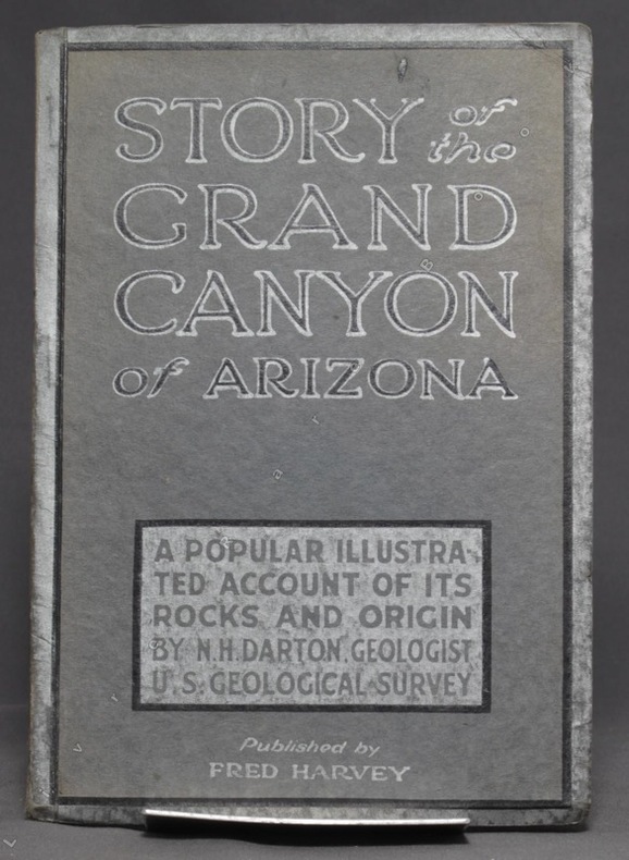
DARTON N. H:
Story of the Grand Canyon of Arizona. A popular illustrated account of its rocks and origin.
Kansas City, Fred Harvey, sans date. In-8 broché de 74-[6] p., couverture grise imprimée noir et argent.
Referentie van de boekhandelaar : 6257
|
|
|
Darvill, Fred T; b/w Maps [Illustrator]
North Cascades Highway Guide
Reliance Printers 1973-01-01. Paperback. Good. Good condition with some wear to cover. Reliance Printers paperback
Referentie van de boekhandelaar : 20-28357
|
|
|
Das, Sarat Chandra (edited By WW Rockhill; Frontispiece Photo of Author, 2 Large Folding Maps, 4 Folding Color Plans [Illustrato
Journey to Lhasa and Central Tibet
John Murray 1/1/1902. Stated 2nd Edition revised. Hardcover. Good. Bound in publisher's green cloth. Gilt lettered and stamp of the Royal Geographical Society on front cover. Library stamps and markings. 285 pages. 34 illustrations and maps 6 of which are folding. Large color map of Tibet at rear. Many of the plates are stamped with library stamps on blank side. <br> Sarat Chandra Das 1849-1917 was a Bengali scholar of Tibet. Das has been described as "a traveler explorer.linguist a lexicographer an ethnographer and an eminent Tibetologist." Das was also a British spy. Born in Chittagong Das trained as an engineer in Calcutta. He became headmaster of the Bhutia Boarding School in Darjeeling. Bhutia was a school for Sikkimese and Tibetan boys many of who would be trained to fill a special place in the British colonial regime the role of a Pundit. Das became a "pundit" and an instructor at the school for British intelligence. Pundits acted as a network of British-trained operatives who were tasked to make inroads in the foreboding inner regions of Asia where white embassies could not gain entry. Tibet and other inland areas were increasingly gaining attention from competing British Russian and Chinese economic and strategic interests. Derek Waller speculates that the character of Huree Chunder Mookerjee in Kipling's Kim was based on Das p.193. As a teacher Das learned Tibetan to speak with his students. He read the limited books on the region available notably of Bogle 1773-5 and Manning's travels 1811 to Tibet. Manning and Bogle were the last successful British explorations of Tibet a nation who steadfastly resisted western intrusion. Das's language ability secured him entry with his colleague Lama Ugyen Gyasto to Tashilhunpo monastery in 1879 as the Prime Minister wished to learn Hindi from him. In 1881 Das returned to Tashilhunpo and made his way to Lhasa Sakya and the Tsangpo River. There he met with Thupten Gyatso the 13th Dalai Lama d. 1933 and returned to Darjeeling with a Yak loaded with over 200 Tibetan manuscripts. After Das was revealed to be a British agent Tibetan authorities increased restrictions on travelers and the Minister who had sponsored his entry was put to death. What makes Das's expedition so interesting is that he successfully brought back a wealth of information on an unknown land to the larger world. The Tibet that Das glimpsed is now gone with the passage of history and the destructive forces of modernity and Chinese domination. This book compiles the story of Das's journey his reports photographs diagrams ethnographic observations etc of a lost Tibet. Das went on to become an important Tibetan scholar and author an extensive multi-volume dictionary. The British would not successfully return to Tibet until 1903-4 with Colonel Francis Edward Younghusband's exhibition invasion and massacre of ~5000 Tibetans. Significantly Younghusband was the President of the Royal Geographical Society which notably published the 1902 edition of Das's book. An interesting and dark connection to Das's legacy. Ref: Derek Waller's The Pundits: British Exploration of Tibet and Central Asia. University Press of Kentucky 1990 pp. 193-209. Also Samanth Subramanian's superb piece in the New York Times Magazine March 20 2016 p. MM61. Peter Hopkirk The Great Game: The Struggle for Empire in Central Asia Kodansha 1992. Yakushi D55 Yakushi D356. Marshall 1459 John Murray hardcover
Referentie van de boekhandelaar : 1607050057
|
|
|
Dauphin County Parks.
COMPREHENSIVE PARK, RECREATION AND OPEN SPACE PLAN FOR DAUPHIN COUNTY.
np. Zerox copy. Illustrated with photographs and large folding maps. 4to. Original spiral bound wraps. PA PAMPH 20_7 BX2
|
|
|
DAUPHINÉ par Paul VEYRET, R. AVEZOU, R. FERNANDAT, P. VAILLANT ...
Visages du Dauphiné. Richement documenté (héliogravures, planches en couleurs, figures, cartes).
Paris, éd. Horizon de France 1949. Bel exemplaire broché, pet. in-4 carré, 207 pages + planches.
Referentie van de boekhandelaar : AUB-4575
|
|
|
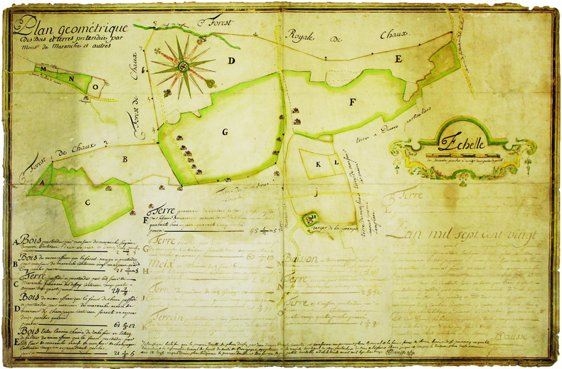
DAUSSE (Jean-Jacques). MANUSCRIT.
Plan géométrique des bois et terres prétendue par Monsr de Maranche et autres.
1720. 510 x 778 mm, monté sur toile.
Referentie van de boekhandelaar : LBW-4140
|
|
|
DAUSSY (Pierre).
[MARSEILLE & PIOMBINO] Carte des côtes de la mer Méditerranée. Partie comprise entre Marseille et Piombino.
[Paris], Dépôt-Général de la Marine, 1832. 605 x 885 mm.
Referentie van de boekhandelaar : LBW-8314

|
|
|
Dauxion-Lavaysse , Jean-Joseph
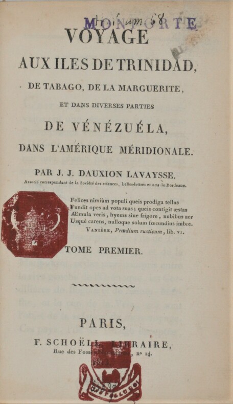
Voyage aux îles de Trinidad, de Tabago, de la Marguerite et dans diverses parties de Vénézuéla, dans l'Amérique méridionale.
Paris, F. Schoëll, Libraire, 1813. In-8 (20,5 x 13,5 cm),XXVI-411 pp.,3ff-480pp-4ff (table et errata), illustré de 3 cartes déplantes et 5 tableaux dépliants .Reliure de l'époque demi-basane havane, dos lisse orné, manque au dos ,un plat détaché ,charnières faibles, cachets répétés, déchirure au pli à 1 carte. Édition très rare.
Referentie van de boekhandelaar : PHO-844
|
|
|
DAUXION-LAVAYSSE, Jean-Joseph
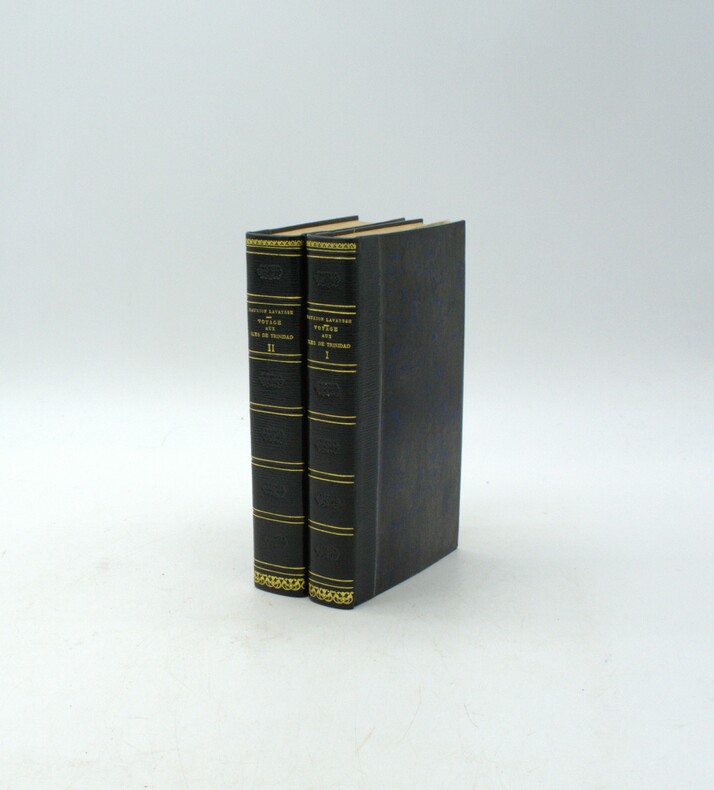
Voyage aux îles de Trinidad, de Tabago, de la Marguerite et dans diverses parties de Vénézuéla, dans l'Amérique méridionale.
Paris, F. Schoëll, Libraire, 1813. In-8 (20,5 x 13,5 cm), XXVI-411 pp.,3ff-480pp-4ff (table et errata), illustré de 3 cartes dépliantes et 6 tableaux dépliants, demi-maroquin moderne à long grain bleu nuit, dos lisse, auteur, titre et tomaison dorés, filet et roulette dorés, fers à froid rousseurs.
Referentie van de boekhandelaar : PHO-1916
|
|
|
Davenport, Bishop.
A NEW GAZETTEER, OR GEOGRAPHICAL DICTIONARY. Of North America And The West Indies. A New Edition With Alterations And Additions.
536 p. LACKS folding map. Lacks front fly leaves. Text illustrations. XLib blind stamp of A. Herr Smith Memorial Library on title page. XLib stamp of Free Public Library, Lancaster, PA on title page. XLib stamp on all edges. First three signatures damp stained on bottom corner. Foxed. First four leaves including title page chipped at edges. 8vo. 235 mm. Original full leather binding, worn. Front board fragile. Hardbound. Fair. S&S/AI 55257. PAIMP 10
|
|
|
David Biggs
This is Cape Town
No marks or inscriptions. A very clean very tight copy with bright unmarked boards and no bumping to corners. Dust jacket not price clipped or marked or torn with rubbing to top of spine and minor traces of storage. 160pp. A lavishly illustrated study of Cape Town in South Africa beginning with a detailed profile of the city and superb colour photographs showing the landscape and seascape, the culture, the buildings and the people.

|
|
|
David Butler; Photos, Maps [Illustrator]
The Fall of Saigon: Scenes from the Sudden End of a Long War
Simon & Schuster 1985-04-01. Hardcover. New. New. In shrink wrap. Looks like an interesting title! Simon & Schuster hardcover
Referentie van de boekhandelaar : Q-0671466755 ISBN : 0671466755 9780671466756
|
|

 De zoekresultaten per email ontvangen
 Zoekresultaten downloaden als PDF
 RSS feed
 Permanente link


