|
Spofford, Jeremiah.
A GAZETTEER OF MASSACHUSETTS: Containing a General View of the State, with an Historical Sketch of the Principal Events From Its Settlement to the Present Time, and Notices of the Several Towns Alphabetically Arranged. With a Map of the State.
348 p. Folding colored map of Massachusetts. The map could use some minor repairs at folds, etc. 12mo. Contemporary full leather binding. American Imprints 35374; Howes S-839; Sabin 89563. Atlas Case. QUITE SCARCE. **PRICE JUST REDUCED!
|
|
|
SPON M:
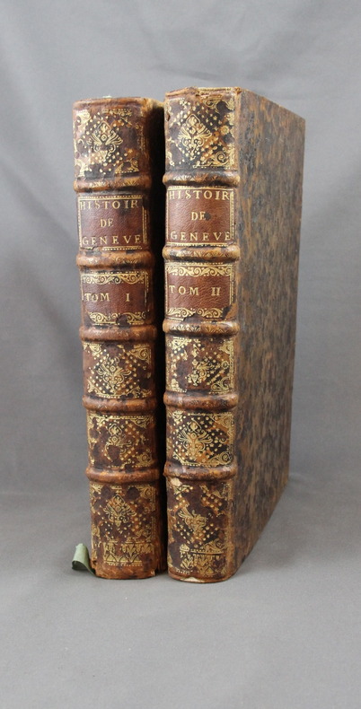
Histoire de Genève. Rectifiée & augmentée par d’amples Notes. Avec les actes et autres pièces servant de Preuves à cette Histoire.
A Genève, Chez Fabri & Barrillot, 1730. 2 volumes in-4 de XV-556-[10], 518 pages + 2 grandes planches dépliantes et 1 carte. Plein veau marron moucheté, dos à nerfs ornés de fleurons et roulettes dorés, pièces de titre et tomaison de maroquin havane, tranches rouge.
Bookseller reference : 2358
|
|
|
Sporrong Ulf, Wennstrom Hans-Fedrik
Maps and Mapping. National Atlas of Sweden
34 cm, rilegatura editoriale, titolo in oro al piatto e al dorso, sovracopertina illustrata; p. 205, numerose illustrazioni e carte geografiche a colori, testo in inglese

|
|
|
Sprenger Henk:
De wonder-tekenaar.
Galerie Lambiek, sans date. Carton d'invitation à une exposition consacrée au "dessinateur miracle". Format 21,5 x 13 cm., petit pli au coin inférieur.
Bookseller reference : 9051

|
|
|
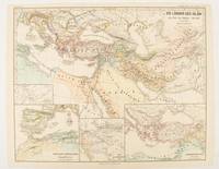
SPRUNER, KARL AND MENKE,THEODOR
Die Länder des Islâm zur Zeit der Bûjiden 945-1055.
Gotha: Justus Perthes. 1877. Map with original colour and outline hand-colour 32.7 x 40.7 cm four inset maps text in German central fold slight marginal edge wear and spotting to the verso but in very good condition. A handsome map detailing the lands of Islam at the time of the Bujids 945-1055. The inset maps depict a western extension to the main map southern Arabia the lands of the Ghaznavid sultanate in Central Asia and lands of the Eastern Roman/Byzantine Empire issued for the "Hand-Atlas für die Geschichte des Mittelatters und die Neueren Zeit". . Justus Perthes unknown
Bookseller reference : 174917
|
|
|
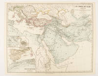
SPRUNER, KARL AND MENKE, THEODOR
Die Länder des Islâm unter den Abbâsiden bis zur Einnahme von Baghdâd durch die Bûjiden 750 bis 945 n. Ch
Gotha: Justus Perthes. 1877. Map with original colour and outline hand-colour 32.2 x 40 cm three inset maps text in German central fold slight marginal toning in very good condition. A most handsome map detailing the lands of Islam under the Abbasids up to the capture of Baghdâd by the Bûjids from 750 to 945 AD. The inset maps depict Northern Iraq Baghdad and a western continuation of the main map issued for the "Hand-Atlas für die Geschichte des Mittelatters und die Neueren Zeit". . Justus Perthes unknown
Bookseller reference : 174913
|
|
|
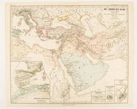
SPRUNER, KARL AND MENKE,THEODOR
Die Länder des Islâm von der Hegra 622 n. Ch. bis zum Sturze der Umaijaden 750 n. Ch.
Gotha: Justus Perthes. 1877. Map with original colour and outline hand-colour 33.1 x 40.2 cm four inset maps text in German central fold slight marginal edge wear and spotting to the verso but in very good condition. A handsome map detailing the lands of Islam from Hegra in AD 622 to the fall of the Umayyads in AD 750. The inset maps depict a western extension to the main map and city plans for Damascus Jathrib & Medina and Mecca issued for the "Hand-Atlas für die Geschichte des Mittelatters und die Neueren Zeit". . Justus Perthes unknown
Bookseller reference : 174916
|
|
|
SPRUNER, KARL AND MENKE, THEODOR
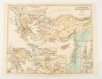
Lateinische Herrschaften im Orient 1210 bis 1311
Gotha: Justus Perthes. 1876. Map with original colour and outline hand-colour 32.2 x 40 cm seven inset maps text in German central fold slight marginal toning in very good condition. A most handsome and highly detailed map detailing provinces of the Latin Empire in the wake of the Crusades. The inset maps depict Achaia in Greece Divisions of the Empire and a city plan of Constantinople issued for the "Hand-Atlas für die Geschichte des Mittelatters und die Neueren Zeit" . Justus Perthes unknown
Bookseller reference : 174910
|
|
|
SPRUNER, KARL AND MENKE,THEODOR
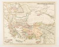
Länder am Ägäischen und Schwarzen Meer 1311 bis 1390.
Gotha: Justus Perthes. 1877. Map with original colour and outline hand-colour 32.2 x 40 cm two inset maps text in German central fold in very good condition. A most handsome map detailing countries on the Aegean and Black Seas 1311 to 1390. The inset maps depict the kingdom of Stephan Duschan Serbia and the land of the Crimean Goths issued for the "Hand-Atlas für die Geschichte des Mittelatters und die Neueren Zeit". . Justus Perthes unknown
Bookseller reference : 174915
|
|
|
ST BRIEUC
Cartes d'Etat major type 1889 : St Brieuc - St Brieuc S-E
2 cartes 34x53 cm.
|
|
|
ST. PETERSBURG - COLLINS, WILLIAM.
St. Petersburg.
London, Glasgow & Edinburgh ca. 1870. Coloured lithograph showing a bird's eye view of the city. 22 x 28 cm. Framed and matted.
|
|
|
ST. PETERSBURG - COLLINS, WILLIAM.
St. Petersburg.
London, Glasgow & Edinburgh ca. 1870. Coloured lithograph showing a bird's eye view of the city. 22 x 28 cm. Framed and matted.
Bookseller reference : 38865
|
|
|
Stacey, Col CP; GWL Nicholson; CCJ Bond (Illust & Maps); C P G W L C C J
Official History of the Canadian Army in the Second World War Complete in Three Volumes
Ottawa Ontario Canada: Pubished by the Authority of the Minister of National Defence Roger Duhamel Queen's Printer and Controller of Stationery 1956-1960. Hardcover. pp. xiii 629; xv 807; xiii 770. Thick Royal 8vo's. Uniformly bound in bright red cloth over boards gilt lettering to the spines and armorial device embossed to the centre of the front boards; map endpapers. Replete with many black-and-white and colour maps including many fold-out photographs illustrations portraits et al. Excepting some light bumping to the spine ends the extremities remain remarkably well-preserved with no additional detectable flaws contents remain equally and uniformly without blemish with bright clean and unmarked pages and tight sound bindings; about fine with each housed in light shelfworn dustjackets now in protective mylar covers. Overall very good to near fine. <br/><br/> Pubished by the Authority of the Minister of National Defence | Roger Duhamel, Queen's Printer and Controller of Stationery hardcover
Bookseller reference : 7943
|
|
|
Staff
Bulletin of the Pan American Union Volume 43
Vol. XLIII , July - December 1916, Nos. 274 - 279, 816 pages, with a great many b&w photos throughout. Includes trade, travel, industrial, agricultural, export, census, building data, etc. for the Latin and South American countries: Argentina, Bolivia, Brazil, Central America, Chile, Columbia, Costa Rica, Cuba, Ecuador, Dominican Republic, Guatemala Haiti, Honduras, Mexico, Nicaragua, Panama, Paraguay, etc.
|
|
|
Staff
Edwards Lithoprinted Facsimiles: Series A Document of the American Revolution Parts 1,2,3,4,5,6
Six folders each with hard plastic protective folders within, containing 5 - 20 loose leaf documents each reproducing original documents of the American revolution. Parts 1 - 6, each a separate folder, contain documents of Lexington & Concord, The tragedy of the playwright general, 20,000 pounds for West Point! the plot that failed, Amenities of Yorktown, American vs. the British, Women of the revolution. Letters, maps, edicts, etc.

|
|
|
Staff
Kelly's Post Office Directory Map of London
Red folder with some shelf wear, a few small stains, small tear at lower spine with four maps of London for the North Western Section, South Western Section, North Eastern Section and South Eastern Section. Each map is 38 x 31" (96cm X 80cm) and all are in excellent condition, showing little to no wear. Street maps are printed in half mile squares with postal districts outlined in orange. No date.

|
|
|
Staff of Franklin Maps
Metro Street Atlas of Chester County in Pennsylvania by Staff of Franklin Maps
Franklin Maps. Very Good. Franklin Maps; King of Prussia 1998. Softcover. A Very Good some handling/scuff marks to covers crease bottom rear cover corners binding solid and sturdy trace edge/corner wear a nice clean and unmarked copy in Oversize stapled Wraps. 4toquarto or approx. 9.5 x 12 inches approx. 151pp. 71 large scale maps 10300 streets indexed with zip codes and 1150 cultural features indexed with telephone numbers. We pack securely and ship daily with delivery confirmation on every book. The picture on the listing page is of the actual book for sale. Additional Scans are available for any item please inquire. Franklin Maps paperback
Bookseller reference : SKU1023409

|
|
|
Staff of Heligan Gardens Ltd
The Lost Gardens of Heligan Handbook
No marks or inscriptions. Small crease to upper corner of rear cover. A very clean very tight copy with bright unmarked boards and no bumping to corners. 73pp. The essential guide to the Gardens & wider estate near St Austell in Cornwall.

|
|
|
Staff; Office of Technology Assessment
Effects of Nuclear War, The
Book is in excellent condition with very bright red covers, gilt print at spine. Binding is solid and square, covers have sharp corners, exterior shows no blemishes, text/interior is clean and free of marking of any kind. Dust jacket has one 1/2" tear, a little edge wear. Previous owner's name at front endpaper. Contents include: A nuclear weapon over Detroit or Leningrad: a tutorial on the effets of nuclear weapons, Civil defense, Three attack cases, Other long-term effects, with six apendices. Lots of great graphics: maps of Detriot and Leningrad with bomb graphics over them showing PSI ratings, for instance, surface burst, air burst, casualty counts, terrorist weapon senario, radioactive graphics over Lake Erie, fireball, breakaway, shock front, Mach front, fallout, thermonuclear ground burst, lots of great stuff we can thank the Pentagon for: making us safer!

|
|
|
STANFORD (Edward).
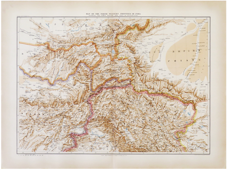
[AFGHANISTAN & PAKISTAN] Map of the north western frontier of India showing the Pamir region and part of Afghanistan.
London, Edward Stanford, 1896. 470 x 640 mm.
Bookseller reference : LBW-6821
|
|
|
STANFORD (Edward).
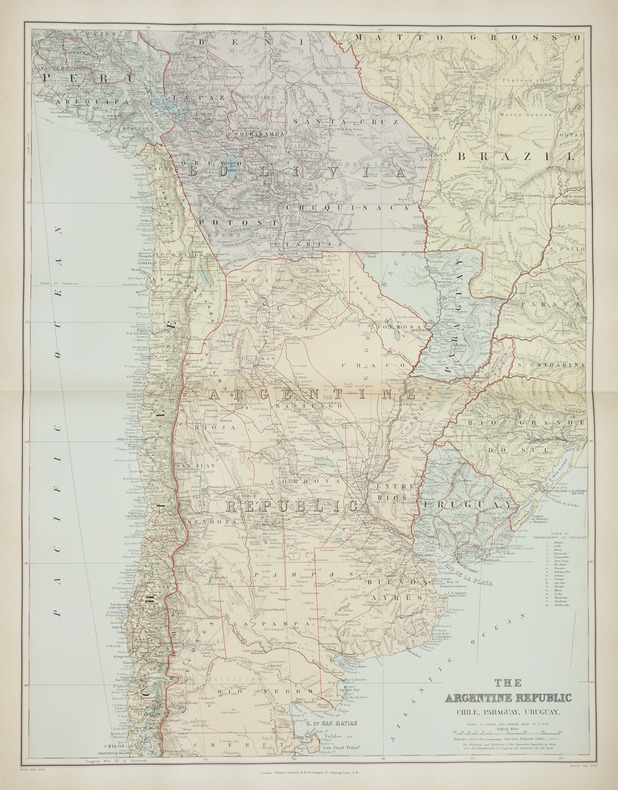
[ARGENTINE] The Argentine Republic. Chile, Paraguay, Uruguay.
London, Edward Stanford, [1896]. 660 x 500 mm.
Bookseller reference : LBW-2879
|
|
|
STANFORD (Edward).
[BIRMANIE] Burma and adjacent countries.
London, Edward Stanford, [1896]. 720 x 520 mm.
Bookseller reference : LBW-2871

|
|
|
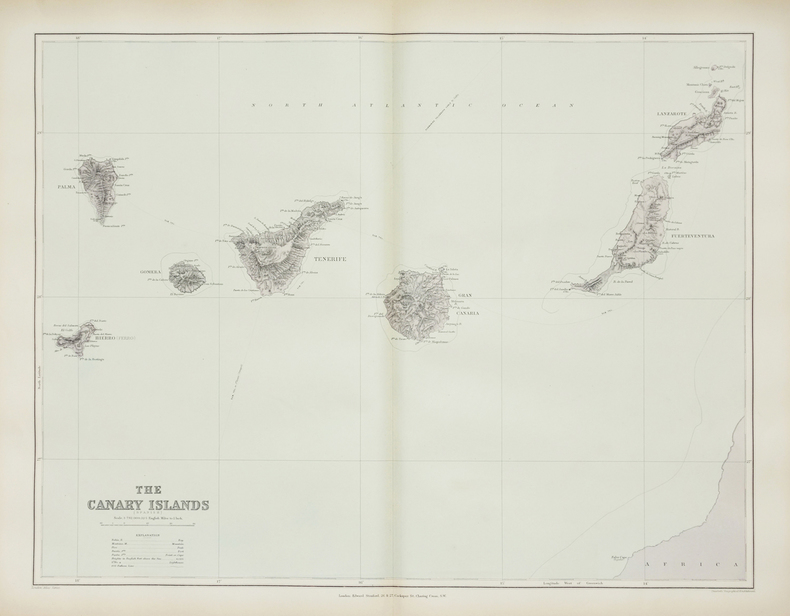
STANFORD (Edward).
[CANARIES] The Canary Islands (Spanish).
London, Edward Stanford, [1896]. 480 x 622 mm.
Bookseller reference : LBW-2867
|
|
|
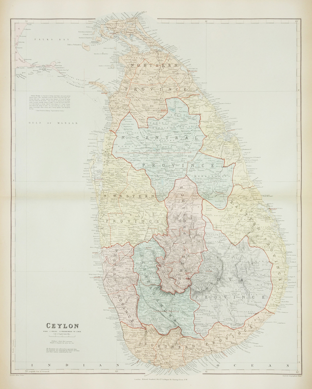
STANFORD (Edward).
[CEYLAN/SRI LANKA] Ceylon.
London, Edward Stanford, [1896]. 640 x 503 mm.
Bookseller reference : LBW-2872
|
|
|
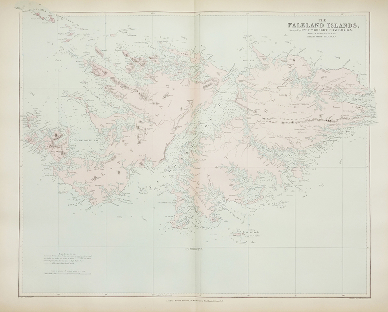
STANFORD (Edward).
[FALKLAND/MALOUINES] The Falkland Islands.
London, Edward Stanford, [1896]. 520 x 630 mm.
Bookseller reference : LBW-2880
|
|
|
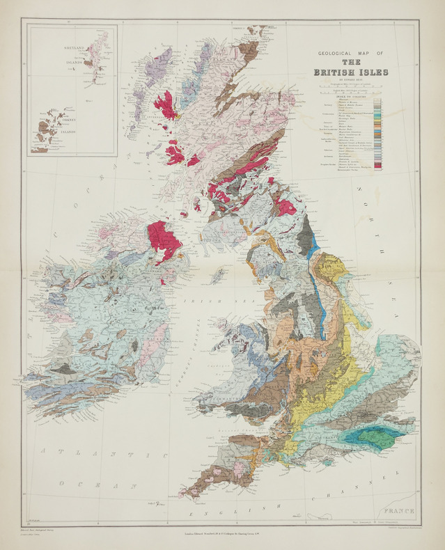
STANFORD (Edward).
[GÉOLOGIE] Geological map of the British Isles.
London, Edward Stanford, [1896]. 610 x 480 mm.
Bookseller reference : LBW-2865
|
|
|
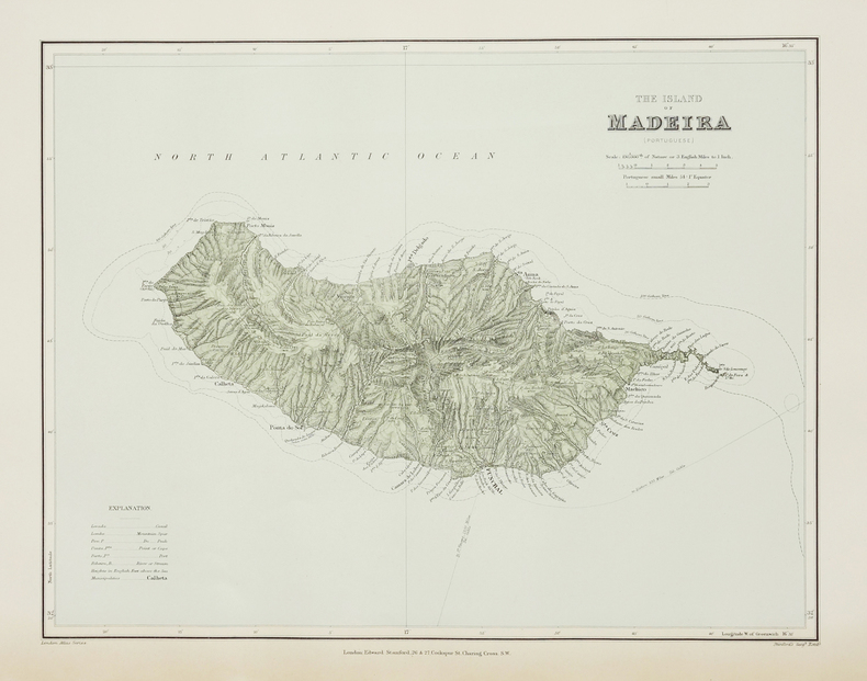
STANFORD (Edward).
[MADERE] The Island of Madeira (Portuguese).
London, Edward Stanford, [1896]. 322 x 406 mm.
Bookseller reference : LBW-2868
|
|
|
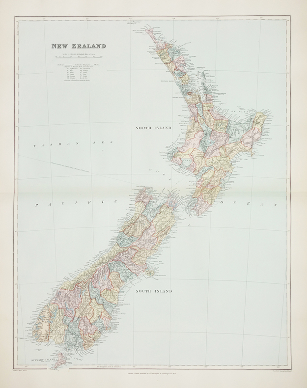
STANFORD (Edward).
[NOUVELLE-ZÉLANDE] New Zealand.
London, Edward Stanford, [1896]. 606 x 470 mm.
Bookseller reference : LBW-2760
|
|
|
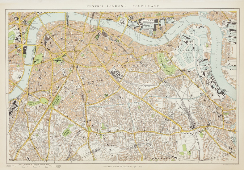
STANFORD (Edward).
[Plan de Londres].
London, Edward Stanford, [1896]. En quatre feuilles séparées, chacune environ 350 x 505 mm.
Bookseller reference : LBW-2866
|
|
|
STANFORD (Edward).
[TASMANIE & FIDJI] Tasmania - Fiji archipelago.
London, Edward Stanford, [1896]. 539 x 308 mm.
Bookseller reference : LBW-2744

|
|
|
STANFORD (Edward).
[ÎLES IONIENNES & MALTE] Map of the Ionian Islands and Malta.
London, Edward Stanford, [1896]. 630 x 540 mm.
Bookseller reference : LBW-2869

|
|
|
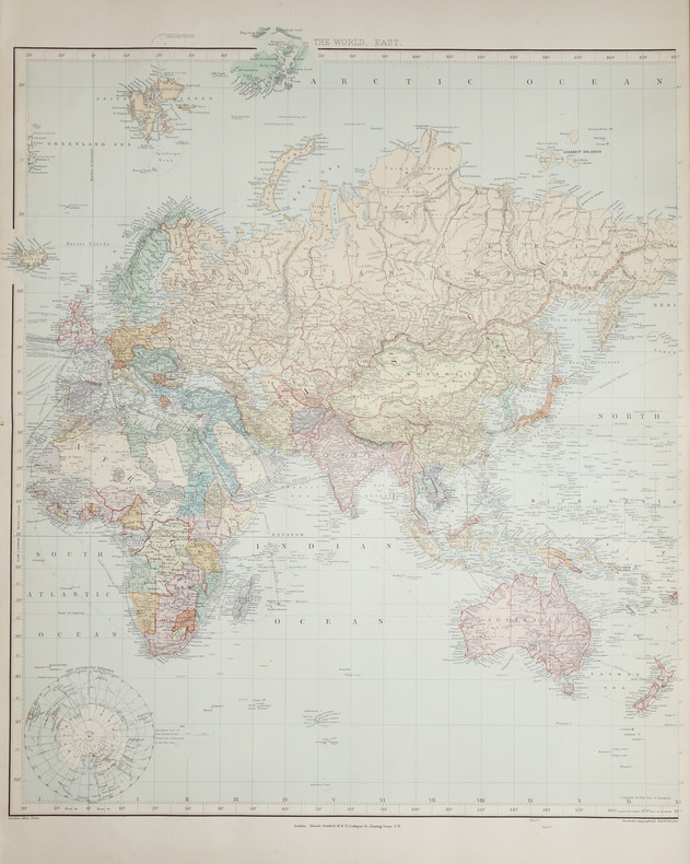
STANFORD (Edward).
A Chart of the World on Mercator's projection.
London, Edward Stanford, [1896]. En deux feuilles non jointes pouvant former une carte de 0,66 x 1,07 m.
Bookseller reference : LBW-2686
|
|
|
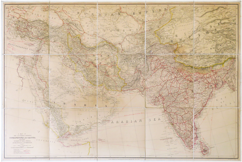
STANFORD (Edward).
A Map of the countries between Constantinople and Calcutta including Turkey in Asia, Persia, Afghanistan & Turkestan.
London, Edward Stanford, 1912. En 15 sections montées sur toile et pliées, formant une carte de 0,68 x 1,02 m.
Bookseller reference : LBW-6838
|
|
|
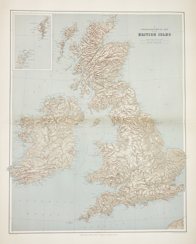
STANFORD (Edward).
A stereographical map of the British Isles.
London, Edward Stanford, [1896]. 605 x 478 mm.
Bookseller reference : LBW-2864
|
|
|
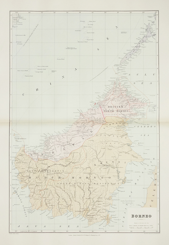
STANFORD (Edward).
Borneo.
London, Edward Stanford, [1896]. 610 x 406 mm.
Bookseller reference : LBW-2874
|
|
|
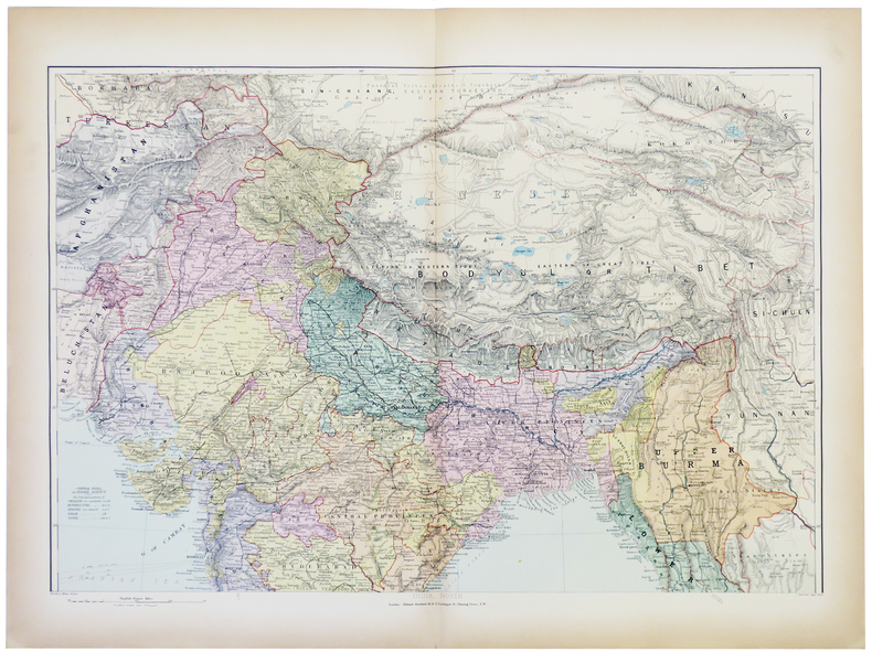
STANFORD (Edward).
India and the adjacent parts of Beluchistan, Afghanistan, Turkestan, the Chinese empire, and Siam.
London, Edward Stanford, [1896]. En deux feuilles non jointes pouvant former une carte de 801 x 676 mm.
Bookseller reference : LBW-5383
|
|
|
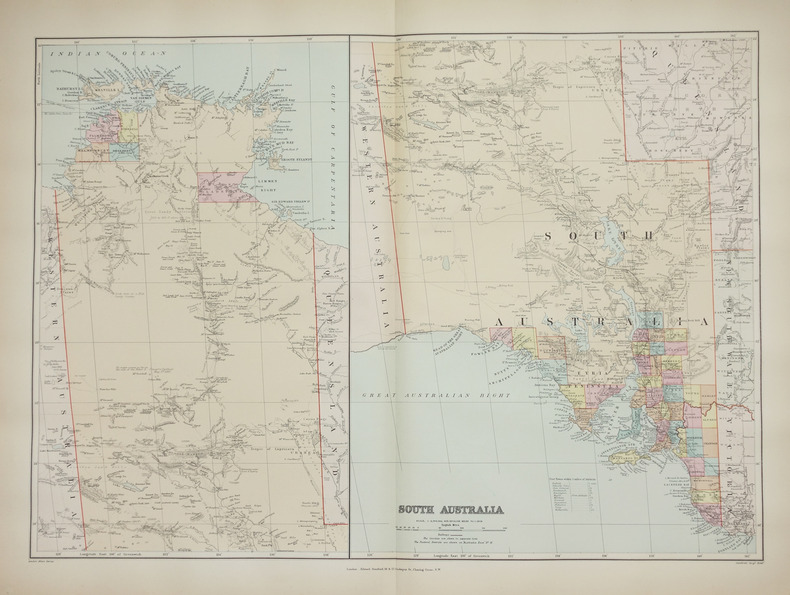
STANFORD (Edward).
South Australia.
London, Edward Stanford, [1896]. 482 x 659 mm.
Bookseller reference : LBW-2687
|
|
|
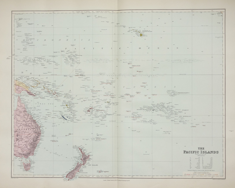
STANFORD (Edward).
The Pacific islands on Mercator's projection.
London, Edward Stanford, [1896]. 480 x 603 mm.
Bookseller reference : LBW-2658
|
|
|
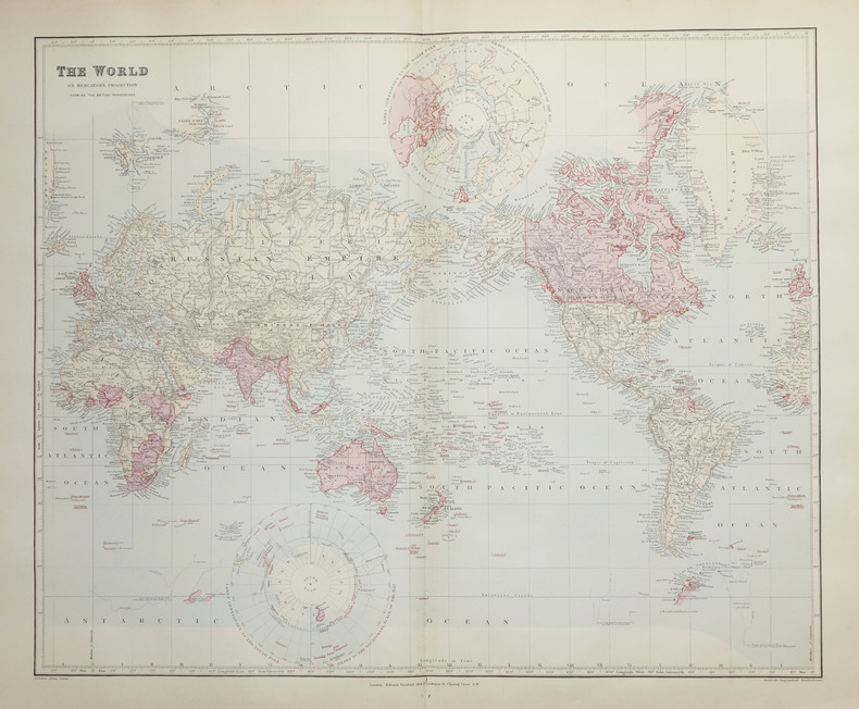
STANFORD (Edward).
The World on Mercator's projection showing the British possessions.
London, Edward Stanford, [1896]. 496 x 603 mm.
Bookseller reference : LBW-2662
|
|
|
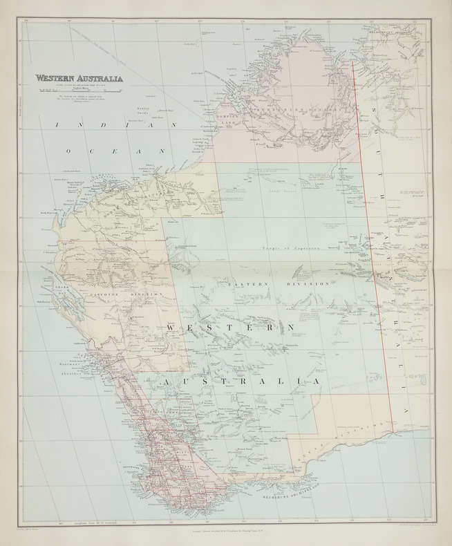
STANFORD (Edward);
Western Australia.
London, Edward Stanford, [1896]. 508 x 628 mm.
Bookseller reference : LBW-2708
|
|
|
Stanford's Library & Commercial Maps
A Map of the Countries Between Constantinople and Calcutta Including Turkey in Asia Persia Afghanistan and Turkestan
Edward Stanford. Good. . This is a large folding coloured linen backed map. Map is clean with minimal wear. No copyright date is given. Edward Stanford unknown
Bookseller reference : mon0003321896
|
|
|
Stanford's Library Maps
LONDON ATLAS MAP OF CAPE OF GOOD HOPE & THE ORANGE FREE STATE
London: Edward Stanford. Hard Cover. Very Good binding. Engraved on Copper Plates in the Finest Style of the Art; "Property of M.I.D. G-2" stamped in atlas. No markings on fold-out map. Red cloth covers with beige title label. Light edgewear to head and tail of spine.Hardcover with Fold-out Map. Very Good binding. Edward Stanford unknown books
Bookseller reference : 228477

|
|
|
STANFORD'S MAP OF EAST DEVON
Stanford's Map of East Devon. [Scale One Inch to One Statute Mile.] FINE COPY AND A RARE SURVIVAL
8vo., folding coloured map on cloth measuring 28 x 34 inches (approx. 71 x 86 cms) folding in 32 panels to 7 x 4.5 inches (approx. 18 x 12 cms); strongly bound in burgundy cloth, upper board lettered in gilt, marbled endpapers, a near fine copy. VERY SCARCE IN THIS CONDITION.
|
|
|
Staniland, L. N.
THE PRINCIPLES OF LINE ILLUSTRATION. With Emphasis on the Requirements of Biological and other Scientific Workers.
pp. frontis, xii, 212. Nearly two hundred line illustrations. 8vo. Original full cloth binding. Original dust jacket. Chipped. ART 1
|
|
|
STANLEY Henri M.
A travers le Continent mystérieux
découverte des sources méridionales du Nil, circumnavigation du lac Victoria et du lac Tanganika, descente du fleuve Livingstone ou Congo jusqu’à l’atlantique.Durée de l’expédition 990 jours,distance parcourue 11571 km.Traduit de l’anglais avec l’autorisation de l’auteur.Deux tomes en deux volumes in 8 demi-chagrin rouge d’époque,titre,roulette,filets,dorés.Tome1:faux-titre,frontispice portait de STANLEY,titre,6 pages,IV,Une carte en couleurs Stanley 1874-1877.490 pages,nombreuses illustrations gravées sur bois dans et hors-texte.Six cartes en couleurs dont une très grande dépliante(78x87cm) en fin de volume.Tome 2:Faux-titre,frontispice,titre,544 pages,nombreuses illustrations dans et hors-texte. 3 cartes dont une très grande dépliante, en couleurs(70x87 cm),en fin de volume.Hachette & Cie 1879 édition originale de la traduction française. Quelques petites rousseurs en début et fin de volume,sinon très bon état.
Bookseller reference : 5674

|
|
|
STANLEY Henri Morton:
A travers le continent mystérieux. Découverte des sources méridionales du Nil. Circumnavigation du lac Victoria et du lac Tanganika. Descente du fleuve Livingstone ou Congo jusqu'à l'Atlantique.
Paris, Librairie Hachette et Cie, 1879. 2 volumes in-4 de [12]-496-[2] et [6]-544 pages, demi-chagrin brun, dos à nerfs.
Bookseller reference : 20578

|
|
|
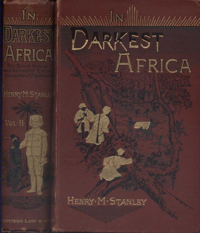
STANLEY Henry M. 150 woodcut illustrations and maps. Decorative cloth bound by Leighton Son & Hodge.
In darkest Africa, or the quest, rescue, and retreat of Emin Governor of Equatoria. Two volumes in good condition.
Couverture rigide. Reliures toile rouge illustrées. 530 + 472 pages. Quelques rousseurs.
Bookseller reference : 128712
|
|
|
STANLEY Henry Morton:
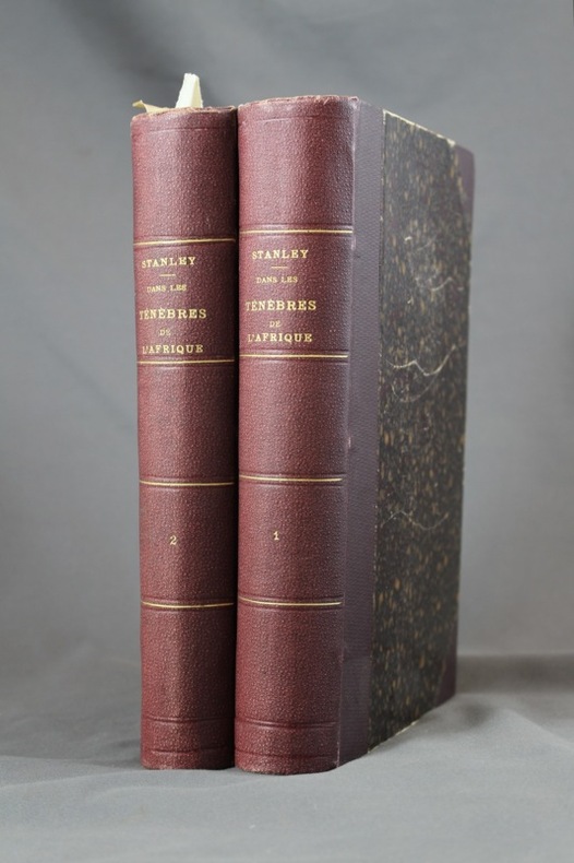
Dans les ténèbres de l'Afrique. Recherche, délivrance et retraite d'Emin Pacha. Tomes I & II.
Paris, Hachette, 1890. 2 volumes grand in-8 de [8]-518 et [8]-482-[4] pages, demi-percaline aubergine à coins, dos ornés de filets, titre et tomaison dorés. Inscription de possesseur sur garde des 2 vol., plats griffés avec quelques salissures, rousseurs; la carte dépliante à la fin du premier volume est déchirée sur une bonne partie du pli central, proprement et sans perte.
Bookseller reference : 6971
|
|
|
Stanley, Arthur Penrhyn.
LECTURES ON THE HISTORY OF THE JEWISH CHURCH. Part I. Abraham to Samuel. With Maps and Plans.
pp. xl, 572 + Plus two folding maps and two plans. Bookplate of Rev. L(uther) A. Gotwald, theological educator and author. Quarto. Original full cloth binding, gold lettered spine. Head of spine chipped with loss. Hardbound. First Series. JUDAICA BOX 1
|
|
|
Stanley, Arthur Penrhyn.
SINAI AND PALESTINE IN CONNECTION WITH THEIR HISTORY. Tenth Thousand. With Maps and Plans.
pp. lviii, 560, 32 [Publisher's catalogue] + Seven colored folding maps and five woodcut maps. Foxed. Offsetting from folding maps. Frontis folding map slightly torn at margin. Slight damp staining last signature. Bookplate of John D. Zimmerman. Large 8vo. 9 x 5 1/2 inches. Original full dark blue publisher's cloth binding. Gilt lettered spine. Bottom corner of front and rear boards damp stained. Hardbound. Arthur Penrhyn Stanley (1815-1881) was an English churchman, Dean of Westminster. He was a 'Broad Churchman' and was the author of various works on Church History. **PRICE JUST REDUCED! JUDAICA BOX 1
|
|

 Receive by email
 Download as PDF document
 RSS feed
 Permanent link


