Sanson; H JaillotBiblio.com
3988 risultati
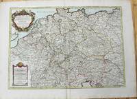
1785rif. M10224Paris: Chez Brion 1785. Very Good. Notes: Detailed large map of Germany with large decorative cartouches. Size : 465x652 mm 18.31x25.67 Inches Coloring: Original Hand Coloring Category: Maps Europe Germany; Chez Brion unknown
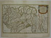
1654rif. M5952Paris 1654. Very Good some mild discoloration along the margins. Size : 350x555 mm 13.75x21.875 Inches Coloring: Original Outline Coloring Reference: Gole 16; Nebenzahl 3.9B Category: Maps Asia South East Thailand Laos Vietnam Cambodia & Burma / Myanmar; Maps Asia Central India & Sri Lanka / Ceylon; unknown
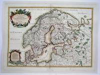
1708rif. M4264Paris 1708. Very Good central fold reinforced mounted on acid free canvas. Size : 474x655 mm 18.625x25.75 Inches Coloring: Hand Colored in Outline Category: ; Maps Europe Scandinavia unknown
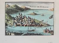
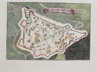
1690rif. M9576Paris c. 1690. Very Good. Notes: A charming map of Nafplio Greece during the late 17th century. Size : 104x152 mm 4.09x5.98 Inches Coloring: Hand Colored Category: Maps Europe Greece Macedonia; unknown
1691rif. M1345Paris 1691. Very Good. Size : 590x885 mm 23.25x34.875 Inches Coloring: Hand Colored in Outline Category: ; Maps South America Continent unknown
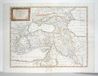
1660rif. M2926Paris: Mariette Pierre 1660. Very Good; some browning on the lower margin near the fold. Size : 407x517 mm 16x20.375 Inches Coloring: Hand Colored Category: ; Maps Mediterranean Sea; Maps Asia Near East Turkey; Mariette, Pierre unknown
1655rif. M5101Paris 1655. Excellent. Size : 395x560 mm 15.5x22 Inches Coloring: Original Outline Coloring Category: ; Maps Europe Poland Lithuania unknown
1690rif. M9475Paris c.1690. Very Good. Notes: A charming map of Forteresse de Zante Greece during the late 17th century. Size : 104x154 mm 4.09x6.06 Inches Coloring: Hand Colored Category: Maps Europe Greece Macedonia; unknown
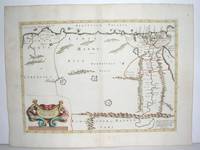
1655rif. M5583Paris 1655. Very Good. Size : 385x535 mm 15.125x21 Inches Coloring: Hand Colored Category: Maps Africa North unknown
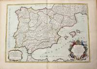
1710rif. M10278Paris: H. Jaillot c.1710. Very Good. Size : 465x655 mm 18.31x25.79 Inches Coloring: Original Hand Coloring Category: Maps Europe Portugal; Maps Europe Spain; H. Jaillot unknown
1678rif. M3434Paris: Mariette Pierre 1678. Excellent. Size : 390x522 mm 15.375x20.5 Inches Coloring: Original Outline with later cartouche coloring Category: ; Maps Asia Near East Turkey Mariette, Pierre unknown
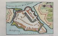
1690rif. M9472Paris c.1690. Very Good. Notes: A charming map of Santa Maura on the island of Lefkada Greece during the late 17th century. Size : 104x153 mm 4.09x6.02 Inches Coloring: Hand Colored Category: Maps Europe Greece Macedonia; unknown
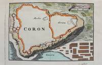
1690rif. M9480Paris c.1690. Very Good. Notes: Map of Coron Greece during the late 17th century. Size : 103x153 mm 4.06x6.02 Inches Coloring: Hand Colored Category: Maps Europe Greece Macedonia; unknown
1696rif. M8798Paris : Pierre Mariette c. 1696. Very Good. Notes: Fine detailed map of the straight of the Bosphorus and the city of Constantinople. Size : 405x528 mm 15.94x20.79 Inches Coloring: Hand Colored Category: Maps Asia Near East Turkey; Pierre Mariette unknown
1640rif. M2804Paris: Mariette Pierre 1640. Very Good. Size : 372x510 mm 14.625x20.125 Inches Coloring: Original Outline Coloring Category: Maps Africa North Egypt Mariette, Pierre unknown
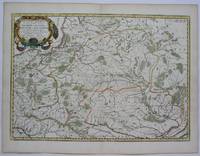
1663rif. M1708Paris: Mariette Pierre 1663. Excellent. Size : 425x575 mm 16.75x22.625 Inches Coloring: Hand Colored Category: ; Maps Europe France Mariette, Pierre unknown
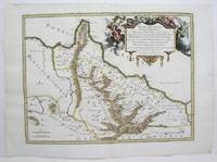
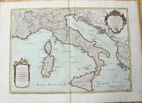
1783rif. M10279Paris: H. Jaillot c.1783. Very Good. Size : 469x655 mm 18.46x25.79 Inches Coloring: Original Hand Coloring Category: Maps Europe Italy; Maps Mediterranean Islands; H. Jaillot unknown
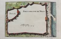
1690rif. M9474Paris c.1690. Very Good. Notes: A charming map of Forteresse de Volo Greece during the late 17th century. Size : 104x153 mm 4.09x6.02 Inches Coloring: Hand Colored Category: Maps Europe Greece Macedonia; unknown
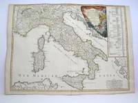
1778rif. M3888Paris: Delamarche 1778. Very Good. Size : 515x685 mm 20.25x27 Inches Coloring: Original Outline Coloring Category: ; Maps Europe Italy Delamarche unknown
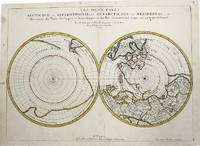
1657rif. M954Paris 1657. Very Good; some occasional mild browning. Notes: 17th century French map of Arctic and Antarctic regions. It was published in Cartes générales de toutes les parties du monde. Nicolas Sanson 1600–1667 was a renowned French cartographer termed by some as the "father of French cartography." His works are known for their incorporation of the most up to date information of the time and their clean modern style. Size : 390x537 mm 15.375x21.125 Inches Coloring: Hand Colored in outline Category: ; Maps Polar Arctic Regions; Maps Polar Antarctic Regions unknown
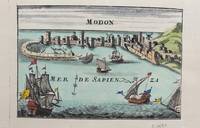
1690rif. M9578Paris c. 1690. Very Good. Notes: A charming map of Modon Greece during the late 17th century. Size : 104x152 mm 4.09x5.98 Inches Coloring: Hand Colored Category: Maps Europe Greece Macedonia; unknown
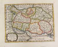
1652rif. M4655Paris 1652. Very Good. Notes: This is an important 17th-century map of Iran published in Paris by Nicolas Sanson the greatest 17th-century French cartographer. The map depicts Iran at the time of Shah Abbas II of the Safavid dynasty. It is interesting to note that present-day Afghanistan and Pakistan and even part of India sit within Iran's borders all of which were lost in due course by the kings of the Qajar dynasty. Also as Sufism was the religion of Iran at the time of the Safavid dynasty the title of the map refers to the "Empire of the Sufi of the Persians". Size : 192x247 mm 7.56x9.72 Inches Coloring: Hand Colored Reference: Ala'i E. 107. Category: Maps Asia Middle East Iran Iraq; unknown
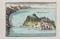
1690rif. M9577Paris c. 1690. Very Good. Notes: A charming map of Malvasia Greece during the late 17th century. Size : 103x152 mm 4.06x5.98 Inches Coloring: Hand Colored Category: Maps Europe Greece Macedonia; unknown
1665rif. M589Paris: Mariette Pierre 1665. Excellent. Size : 410x560 mm 16.125x22 Inches Coloring: Hand Colored Reference: Mojski Piotr Maria "Cartographia Rappersviliana Polonorum" page 387 number 31; Category: ; Maps Europe Poland Lithuania Mariette, Pierre unknown
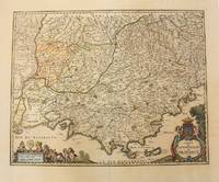
1656rif. M6320Paris 1656. Very Good. Notes: This map shows the southern coast of France. Size : 425x535 mm 16.75x21 Inches Coloring: Original Hand Coloring Category: Maps Europe France unknown