MAGINI (Giovanni Antonio) & PTOLEMEE (Claude).Livre Rare Book
351 résultats
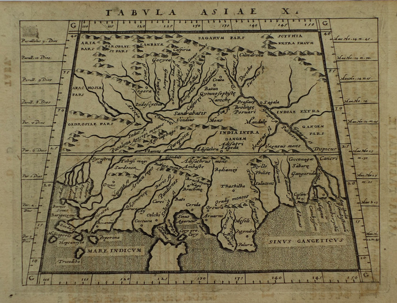
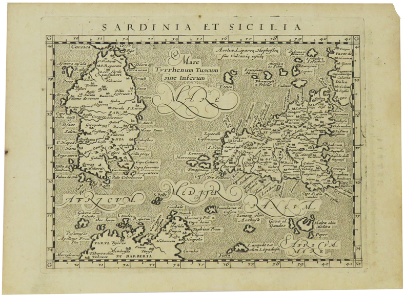
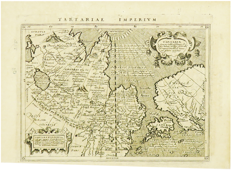
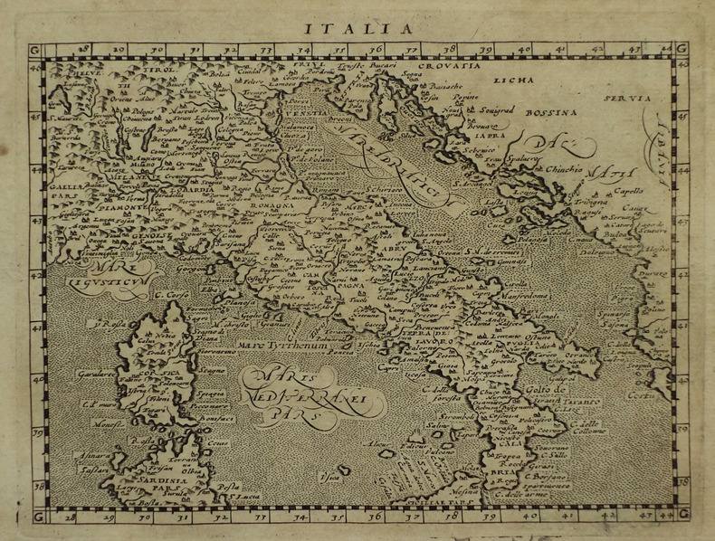
1617réf. LBW-1933[Arnhem, Joannes Jansson, 1617]. 129 x 170 mm.
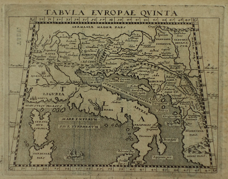
1617réf. LBW-1932[Arnhem, Joannes Jansson, 1617]. 129 x 167 mm.
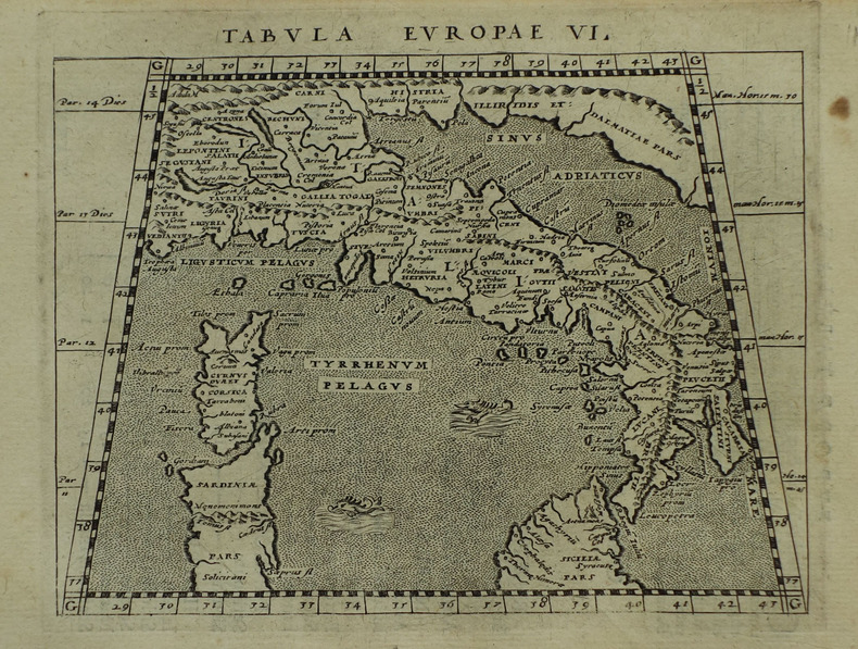
1617réf. LBW-1931[Arnhem, Joannes Jansson, 1617]. 127 x 163 mm.
1617réf. LBW-1921[Arnhem, Joannes Jansson, 1617]. 130 x 166 mm.
réf. 053104Paris Editions Hier et Demain 1976 grand in folio (46,5x35) 1 volume sous boitage de l'éditeur, dos et plat supérieur titrés, renfermant un fascicule de texte de 24 pages [1], suivi de 27 planches doubles hors-texte en couleurs de cartes. Collection cartographie antique. Collationné complet. Tirage limité à 999 exemplaires numérotés. Bel exemplaire ( Photographies sur demande / We can send pictures of this book on simple request ) poids du colis: 3 kilogrammes, emballage de protection
1561réf. LBW0251d[Venise, 1561]. 183 x 246 mm.
1561réf. LBW02516[Venise, 1561]. 185 x 247 mm.
réf. DADAX0520235606New unknown
réf. 0380790629.Gpaperback. Good. Access codes and supplements are not guaranteed with used items. May be an ex-library book. paperback
1990réf. 220523068Harpercollins 1990-12-01. Hardcover. New. 8x5x0. ~ NEW Inside and Out! Clean & Crisp Pages. E-mail for more info./pics Harpercollins hardcover
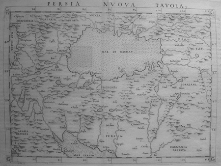
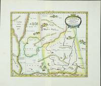
réf. 6099Amsterdam: R & J Wetstenii & G Smith. 1578-1730. No binding. Very Good. 350 x 410 mm. a fine example in recent wash colour. Gerard Mercator's edition of Ptolemy's 'Geography' is highly acclaimed; he spent much of his life studying the work and even engraved the plates himself. The 'Geographia' is the earliest surviving geographical treatise. Much of Mercator's efforts were spent projecting Ptolemy's geography onto the projection which bears his name. Mercator is one of the world's greatest cartographers and the 'Claudii Ptolemaei Tabulae Geographicae Orbis Terrarum' was first published in 1578. This map focuses on the region covering part of the silk route to China. Along this path rode much of Asia's spices to Europe. It is adorned with camels and camps of traders en route. It is in the third state with the addition of a latitude and longitude grid illustrating the projection. Koeman Me 5; Nordenskiold 234; Phillips P.L. Atlases 384; Shirley BL T.Ptol-11a & 11k; Van der Krogt P. Atlantes 1:501. R & J Wetstenii & G Smith. 1578-[1730] unknown
1819réf. RO80255816Imprimerie de A. Bobée. 1819. In-4. Relié. Etat d'usage, Coins frottés, Dos fané, Quelques rousseurs. xliv + 88 + 54 + 20 + 183 + 18 + 37 pages. Quelques tables dépliantes hors texte. Titre doré au dos, pièce de titre verte. Trois photos disponibles.. . . . Classification Dewey : 904-Recueils de récits d'événements
réf. BN386098The Risala Dhat al-kursi attributed to Ptolemy. A Treatise on the Celestial Globe with Stand The Risala Dhat al-kursi attributed to Ptolemy. A Treatise on the Celestial Globe with Stand Ptolemy Akhawayn Flora Vafea ed unknown
1972réf. 010314PARIS CLUB DU LIVRE PHILIPPE LEBAUD 1972 Un fort volume grand in-folio de 206 pges , dans sa très belle reliure éditeur plein cuir havane , dos plat , motifs de frises grecs inscrustés sur les plats et médaillon en cuir sur le premier plat , tête doré et bien complet de bsa chemise et de sa boite bordurée , ouvrage comportant 20 lithographies originales en couleurs de Jean PICART LE DOUX , tirage à 300 ex. numérotés , un des 225 sur Rives signé par l' artiste , très bon exemplaire . PORT POUR LA FRANCE 20 ? ET POUR L' U.E. 28 ? Très bon Couverture rigide
1552réf. LBW01b4b[Bâle, 1552]. 268 x 333 mm.
réf. 41734Paris Catala Frères, imprimeurs-Editeurs 1925 in 4 (33x25,5) 1 chemise à lacets de l'éditeur, dos de percaline titré en long, plat supérieur titré, renfermant un fascicule de texte de 6 pages [1], suivi de 75 planches hors-texte volantes. Collationné complet. Bel exemplaire ( Photographies sur demande / We can send pictures of this book on simple request )
1896réf. 000021169Glasgow: Hay Nisbet and Co. 1896. later edition. hardcover. Poor. Octavoapprox. 5 3/8" by 7 7/8" flexible brown leather covers xxvii 5 246 1 pages. Title page browned but the rest of the text is clean and unmarked. Repairs with linen tape at hinges as well as internally. Titling on paper spine label very faded. Mottling on covers damaged area at foot of spine and bottom of rear cover; no text is affected by the damage. 092717B Hay Nisbet and Co. hardcover
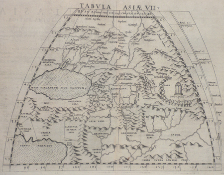
1596réf. 16119Venice:: Giovanni Magini 1596-1598. Map 5 x 6.75 inches on 11.5 x 8 inch leaf. Single leaf from Giovanni Maginis Geographicae Ptolemaei 1597-1598. Revised edition of Ptolemys Geography. Copperplate engraved map of Asia. Latin text to map. Italian text to recto and verso of leaf. Large initial L below map. Engraved by Girolamo Porro. A fine impression. Scarce. Most suitable for framing. Map is 5 x 6.75 inches on leaf at 11.5 x 8 inches. Giovanni Antonio Magini 1555-1617 Italian astronomer astrologer cartographer and mathematician. Girolamo Porro 1520-1604 famous Italian engraver on wood and on copper. Maginis Geographia was first published in 1596 Latin and in 1597 & 1598 in Italian. The maps detailed and extremely attractive were engraved by the famous Porro. Authorities generally believe that they are the finest of the small size Ptolemies following those by Gastaldi done earlier. [Giovanni Magini,] unknown
réf. DADAX9400730861New unknown
réf. 6820084Princeton University Press . Papeback. New. pp. 693 693 Indices Princeton University Press unknown
1617réf. LBW-1935[Arnhem, Joannes Jansson, 1617]. 130 x 169 mm.
1617réf. LBW-1964[Arnhem, Joannes Jansson, 1617]. 129 x 170 mm.
réf. DADAX0415100208New unknown
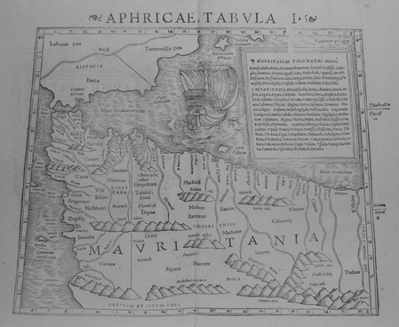
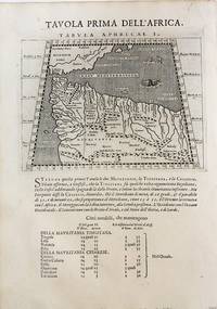
1598réf. M8434Venice: G. Fratelli; G.A. Magini c. 1598. Very Good. Notes: Ptolemaic Map of the North west part of Africa Morocco Tabula Aphricae I Plate 1 from "Geografia cioe Descrittione Universale della Terra" published by Magini c.1598. Text in Italian. Size : 140x173 mm 5.50x6.80 Inches Coloring: Black & White Category: Maps Africa North; Maps Africa West; G. Fratelli; G.A. Magini unknown
1925réf. 10383Publisher's quarter cloth string-tied chemise containing six pages of uncut text followed by 75 loose facsimile plates. Complete. Minor staining to covers but otherwise this is a nice clean copy with no previous owners' names or other defacements to the plates. Scarce. 10 x 13.25 in 25.5 x 33.5 cm Catala Freres hardcover