346 résultats
réf. 12582Suivi de : LORENCE Gilles : Comment les astres influent-ils sur l'homme ? (selon Ptolémée). Sans lieu. Ed. LAF. Vers 1980. Grand in-8 (30x21). 150 feuillets tapuscrits. Broché.
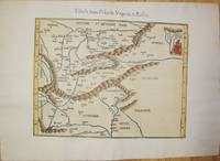
1541réf. M7225Lyon: Michael Servetus c. 1541. Very good minor wormholing on upper margin. Notes: StolenThe only text on verso is the number "33". The publisher Michael Villanovus or Servetus was tried by Calvin for heresy and burned at the stake with several of his books. Size : 307x363 mm 12.09x14.29 Inches Coloring: Hand Colored Category: Maps Europe Poland Lithuania; Maps Europe Hungary; Maps Europe Romania; Maps Europe Ukraine; Maps Europe Czech Republic Slovakia; Michael Servetus unknown
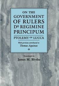
réf. 56560946-75University of Pennsylvania Press. Used - Very Good. Former library copy. Pages intact with possible writing/highlighting. Binding strong with minor wear. Dust jackets/supplements may not be included. Includes library markings. Stock photo provided. Product includes identifying sticker. Better World Books: Buy Books. Do Good. University of Pennsylvania Press unknown
1997réf. DADAX0812233700University of Pennsylvania Press 1997-01-29. hardcover. New. 6.75x1.25x9.75. Buy with confidence. Excellent Customer Service & Return policy. University of Pennsylvania Press hardcover
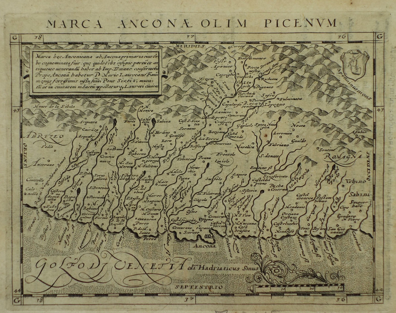
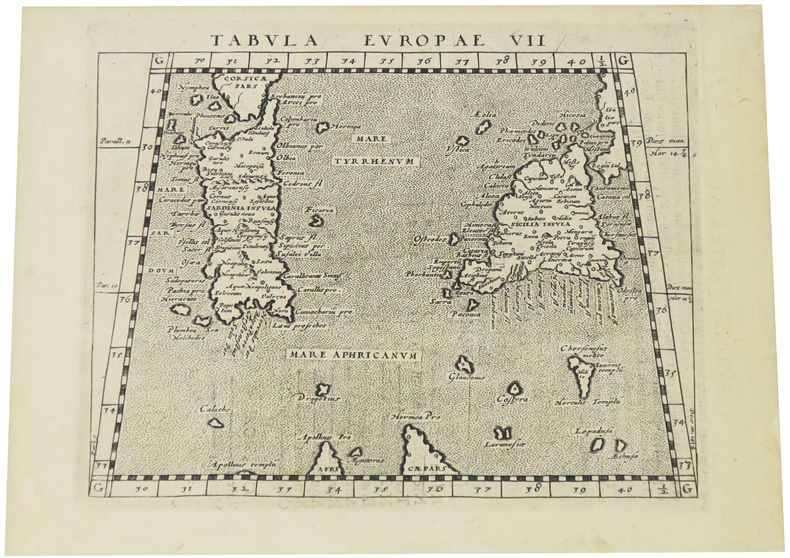
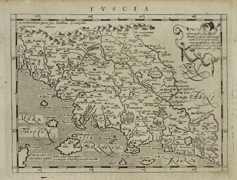
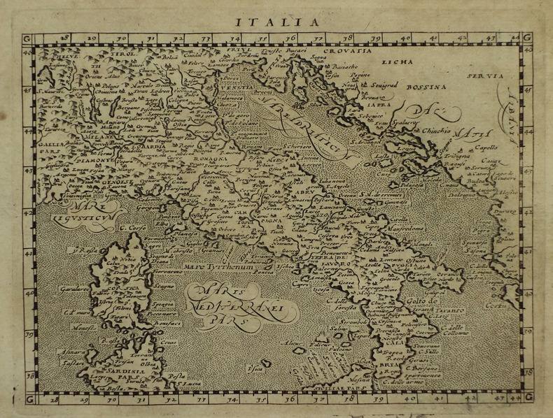
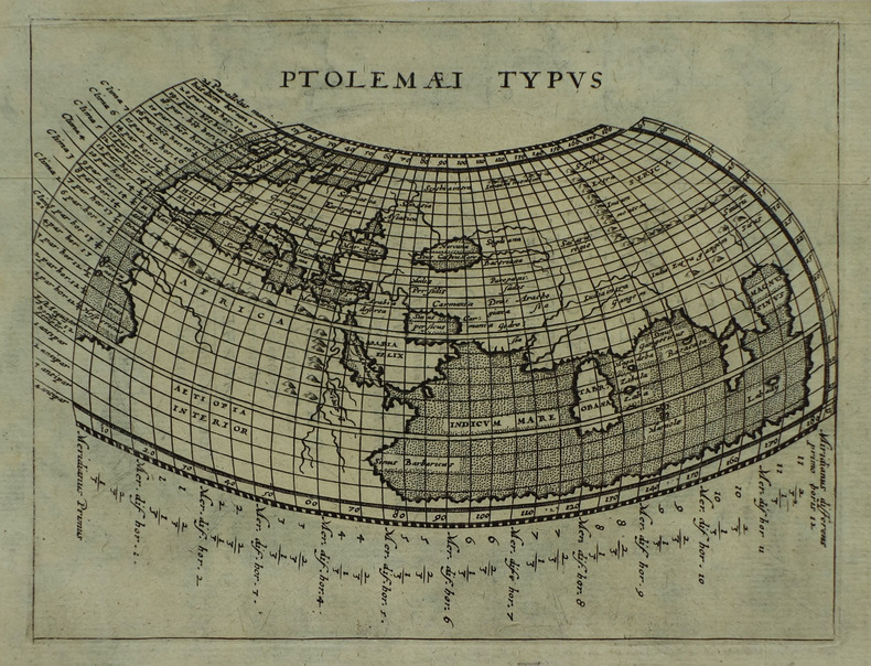
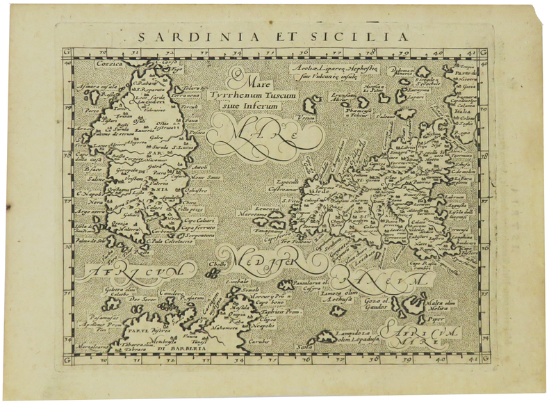
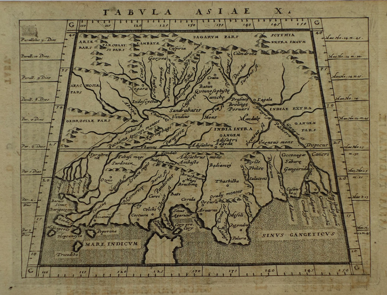
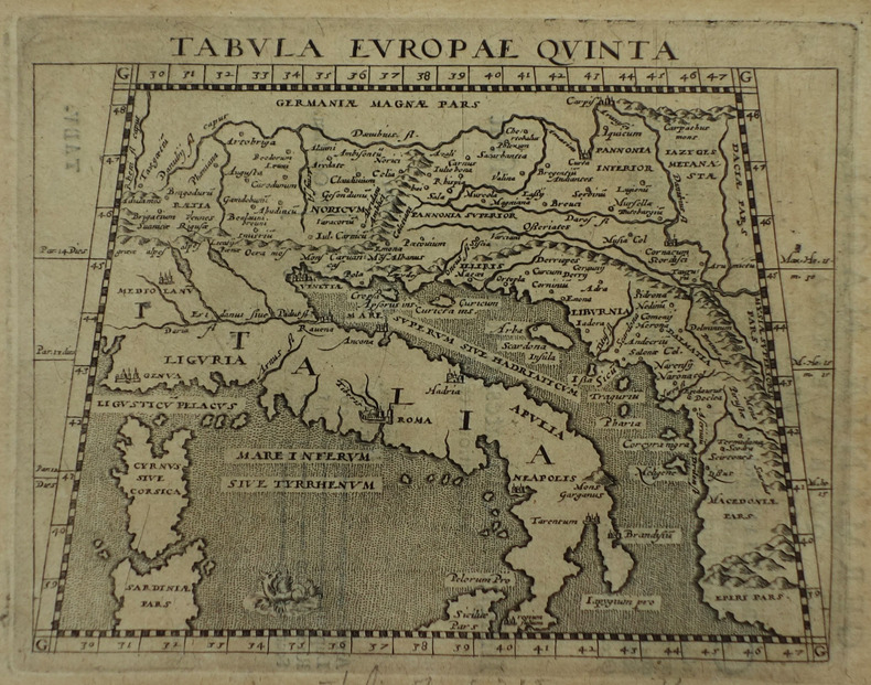
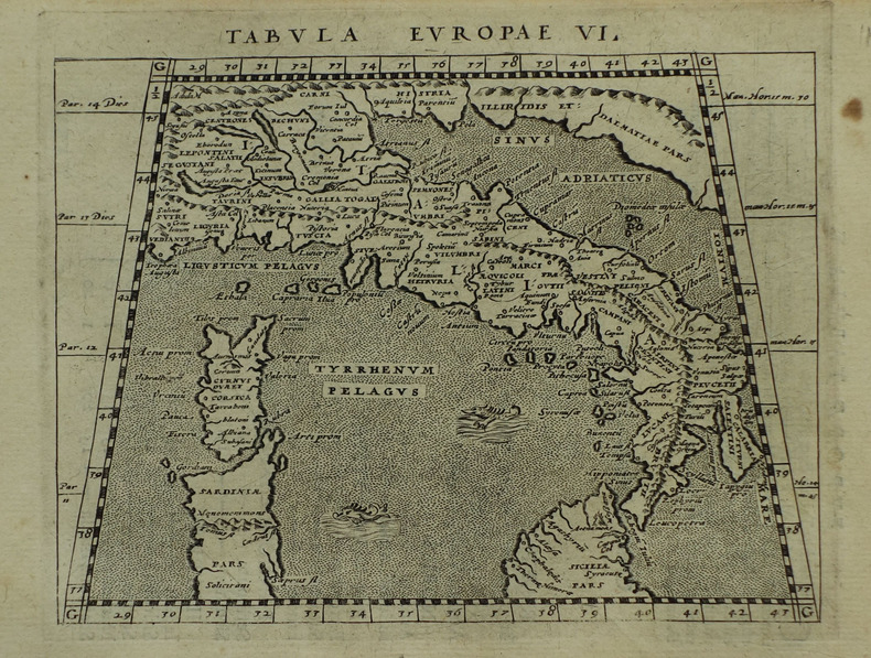
1617réf. LBW-1926[Arnhem, Joannes Jansson, 1617]. 130 x 168 mm.
1617réf. LBW-1923[Arnhem, Joannes Jansson, 1617]. 128 x 170 mm.
1617réf. LBW-1938[Arnhem, Joannes Jansson, 1617]. 128 x 168 mm.
1617réf. LBW-1918[Arnhem, Joannes Jansson, 1617]. 130 x 168 mm.
1617réf. LBW-1934[Arnhem, Joannes Jansson, 1617]. 130 x 169 mm.
1617réf. LBW-1933[Arnhem, Joannes Jansson, 1617]. 129 x 170 mm.
1617réf. LBW-1937[Arnhem, Joannes Jansson, 1617]. 132 x 172 mm.
1617réf. LBW-1935[Arnhem, Joannes Jansson, 1617]. 130 x 169 mm.
1617réf. LBW-1932[Arnhem, Joannes Jansson, 1617]. 129 x 167 mm.
1617réf. LBW-1931[Arnhem, Joannes Jansson, 1617]. 127 x 163 mm.
1617réf. LBW-1921[Arnhem, Joannes Jansson, 1617]. 130 x 166 mm.
1617réf. LBW-1964[Arnhem, Joannes Jansson, 1617]. 129 x 170 mm.
1617réf. LBW-1922[Arnhem, Joannes Jansson, 1617]. 131 x 172 mm.
réf. 46530570-nnew. unknown
réf. 46530570like new. unknown
2024réf. __0903696746Hurtwood Pr Ltd 2024. Hardcover. New. 208 pages. 11.50x9.25x9.09 inches. Hurtwood Pr Ltd hardcover
réf. 0903696746.Ghardcover. Good. Access codes and supplements are not guaranteed with used items. May be an ex-library book. hardcover
2008réf. 2-0789315912Universe Pub 2008. Hardcover. New. 304 pages. 14.00x9.00x1.25 inches. Universe Pub hardcover
réf. 6091Amsterdam: R & J Wetstenii & G Smith. 1578-1730. No binding. Very Good. 340 x 480 mm. a fine example in recent wash colour. Gerard Mercator's edition of Ptolemy's 'Geography' is highly acclaimed; he spent much of his life studying the work and even engraved the plates himself. The 'Geographia' is the earliest surviving geographical treatise. Much of Mercator's efforts were spent projecting Ptolemy's geography onto the projection which bears his name. Mercator is one of the world's greatest cartographers and the 'Claudii Ptolemaei Tabulae Geographicae Orbis Terrarum' was first published in 1578. This map of the Lower Nile River in Egypt is in the third state with the addition of a latitude and longitude grid illustrating the projection. Koeman Me 5; Nordenskiold 234; Phillips P.L. Atlases 384; Shirley BL T.Ptol-11a & 11k; Van der Krogt P. Atlantes 0913A:1.2. R & J Wetstenii & G Smith. 1578-[1730] unknown
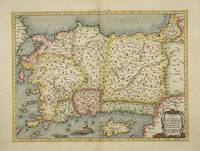
réf. 4025Utrecht: Francois Halma. 1578-c.1695. No binding. Very Good. 340 x 460 mm. a fine example in recent wash colour in good condition. From Gerard Mercator's edition of 'Claudii Ptolemaei Tabulae Geographicae Orbis Terrarum'. It was in 1578 that one of the world's greatest cartographers put out an edition of the earliest surviving geographical treatise. This map shows Ptolemaic Asia Minor or modern day Turkey. A prominent Cyprus is found as are the Greek Islands of Lesbos and Rhodes. Koeman Me 5; Nordenskiold 234; Phillips P.L. Atlases 384; Shirley BL T.Ptol-11a & 11k; Van der Krogt P. Atlantes 1:501. Francois Halma. 1578-[c.1695] unknown
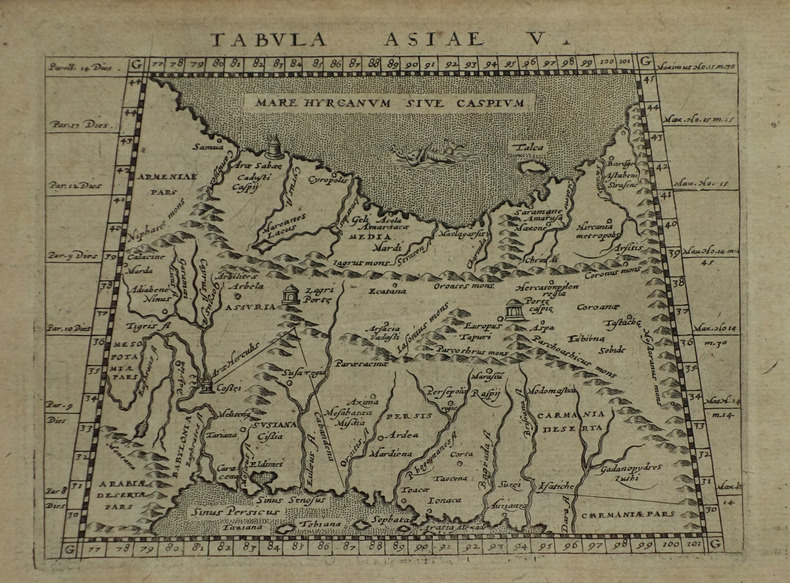
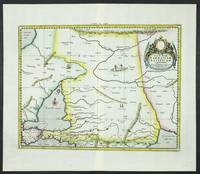
réf. 6094Amsterdam: R & J Wetstenii & G Smith. 1578-1730. No binding. Very Good. 360 x 460 mm. a fine example in recent wash colour. Gerard Mercator's edition of Ptolemy's 'Geography' is highly acclaimed; he spent much of his life studying the work and even engraved the plates himself. The 'Geographia' is the earliest surviving geographical treatise. Much of Mercator's efforts were spent projecting Ptolemy's geography onto the projection which bears his name. Mercator is one of the world's greatest cartographers and the 'Claudii Ptolemaei Tabulae Geographicae Orbis Terrarum' was first published in 1578. This map focuses on the Caucasus and modern day Russia is in the third state with the addition of a latitude and longitude grid illustrating the projection. It displays the Crimean Peninsula lower left and the Caspian Sea lower right. Koeman Me 5; Nordenskiold 234; Phillips P.L. Atlases 384; Shirley BL T.Ptol-11a & 11k; Van der Krogt P. Atlantes 1:501. R & J Wetstenii & G Smith. 1578-[1730] unknown