345 résultats
1564réf. 265015Venice: Giordano Ziletti 1564. hardcover. very good. 3 parts in 1. Each part has a separate title page with large printer's device. Part 2: Espositioni et Introduttioni Universali di Girolamo Ruscelli sopra tutta la Geografia di Tolomeo. Part 3: Discorso Universale di M. Gioseppe Moleto mathematico. Illustrated with 63 of 64 fine double-leaf copper engraved maps including the rare "World in Hemispheres". Additional large in-text engravings and decorative initials throughout. 8 358 110 204 48 index 47 pages. Short thick 4to bound in old calf with gilt devices on covers neatly re-cased binding well-rubbed but very sound; very clean copy virtually free of foxing; one map ink stained; lacks the final world map "Carta Marina" a.e.g. Venetia: Appresso Giordano Ziletti 1564. Text in Italian. Bookplate of Otto Orren Fisher pasted on inside cover. Manuscript note in ink on title page reads: Ex Libris Stephan Tiapas. Second edition of Ruscelli's Italian translation very similar to the edition of 1561 and containing the same series of maps. The double- page maps are partly based on those of Jacopo Gastaldi in the edition of 1548 but on a larger scale. According to Nordenskiold two important innovations were introduced by the 1561 edition into cartographical literature. One: the division of the Map of the World in two hemispheres. Two: The re-issue of the Zeno Map of the Arctic Regions which had appeared first 3 years before. "If the remarkable map in this little work had not received extensive circulation under the sanction of Ptolemy's name it would probably have been forgotten. During nearly a whole century it exercised an influence on the mapping of the northern countries to which there are few parallels in the history of cartography". Girolamo Ruscelli c. 1504-1566 was a Venetian editor whose maps are primarily based on those by Jacopo Gastaldi 1548 but with many of his own additions and reproduced on a larger scale. Ruscelli introduces several important innovations in this volume through his 37 "modern" maps which cover Europe Africa Asia and the New World. Ruscelli includes a double hemisphere world map which was the first of its kind to be used in an atlas and "Carta Marina Nuova Tavola" a rare sea chart of the world. He includes a revised version of the Zeno map of the Arctic first published in 1558. The Zeno map describes the purported journey of the author's ancestors in the 1390s to Greenland Iceland the mythical islands of Frisland and Icaria and what is now thought to be Newfoundland and Labrador. While Zeno shows Greenland connected to Norway Ruscelli has updated the map by eliminating this land bridge. Despite its inaccuracies and inclusion of mythical lands the Zeno map persisted as the prevailing map of the Arctic and Greenland for many years. Six other New World maps include the South American continent Brazil Central America and the Baja Peninsula the eastern coast of North America Cuba and Hispaniola. Claudius Ptolemy 90-168 CE was a Roman geographer and mathematician living in Egypt who compiled his knowledge and theories about the world's geography into one seminal work. Although his maps did not survive his mathematical projections and location coordinates did. During the Renaissance revival of Greek and Roman works "Geographia" was rediscovered by monks and based upon Ptolemy's detailed instructions the maps were recreated. The first printed edition of "Geographia" with maps was published in Bologna in 1477. A rare and exciting edition for any collector. Sabin 66504 Giordano Ziletti unknown books
1561réf. 18808Venedig, Valgrisi, 1561. 3 Teile in 1 Bd. 4 nn. Bll., 358 S., 1 Bl.; 28 Bll., 47 S., 24 Bll. mit einigen Textholzschnitten. 64 doppelblattgroßen Kupferkarten (mit Rückentext). Gr.-8°. Pgmt. der Zeit mit hs. Rückentitel (Gebrssprn.). [5 Warenabbildungen]
1561In 4° (234 x 163 mm), 3 parti in 1 volume.; [8], 358, [2] pagine; [28] carte; 47, [49] pagine, 64 carte geografiche a doppia pagina delle quali 27 raffiguranti il mondo antico e 37 raffiguranti il mondo moderno con la descrizione al retro, 12 xilografie e diagrammi nel testo, marche tipografiche (alcuni difetti.). Solida legatura coeva in pergamena con unghie (sguardie nuove).
1959réf. 48400Madrid, Victoriano Suarez, 1959. 4°. Mit zahlr. meist ganzs. Abbildungen. 281 S., 2 Bll., Lwd. d. Zt. m. goldgepr. Rückentitel u. dem eingeb. OUmschlag.
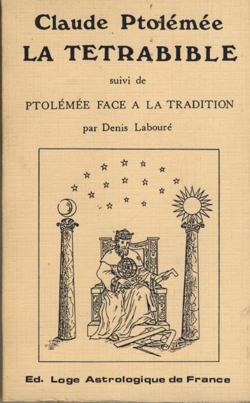
réf. 62323Paris chez Cardin Besongne 1640 - reprint en fac-simile - Loge Astrologique de France 1985 In-12 xix-465pp. un des 300 exemplaires numerotes unknown
1985réf. W119448Citta del Vaticano, Biblioteca Apostolica Vaticana 1985 370pp., 25cm., original 1985-edition, softcover, pages still uncut, in the series "Studi e Testi" volume 315, good condition, [Contains a critical Greek text edition, as well as an introduction, translation and commentary in French], R119448
réf. 5206broché, format poche, 105 x 165, Poids : 350 gr. très bon état, 466 pages, collection "Astrologie et Tradition" Illustration de couverture : Jocelyne Laborde, fac-simile de l'édition in-12 de 1640 ayant pour titre l'Uranie et appartenant à la bibliothèque privée des fondateurs de la Loge Astrologique de France, ISBN : 2905788011
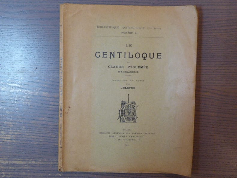
réf. 796933Librairie Générale Des Sciences Occultes - Bibliothèque Chacornac Paris 1914 In-4 ( 240 X 190 mm ) de 53 pages, broché sous couverture imprimée. EDITION ORIGINALE. Exemplaire gauchi très abondement annoté et surligné.
1978réf. W120039Citta del Vaticano, Biblioteca Apostolica Vaticana 1978 vi + 381pp. + 2 tableaux dépliants, dans la série "Studi e Testi" volume 282, brochure originale, pages non coupées, bon état, W120039
in-8 broché de 150 pages environ. Tres bel exemplaire de cette revue trimestrielle destinee essentiellement aux enseignants (histoire - français - latin - grec) de l'enseignement secondaire [FL-18] Autres numéros sur demande.
1949réf. R86739Paris, Cerf 1949 101pp., 20cm., dans la série "Sources chrétiennes. Série annexe de textes non chrétiens" vol.24, br.orig., non coupé, bon état, bilingue: grec-français, R86739
1955réf. 2143888Paris: Éditions du Cerf ohne Jahr (ca. 1955). 100, (4) Seiten. Unbeschnitten. 8° (19,5 x 13 cm). Orig.-Broschur. [Softcover / Paperback].
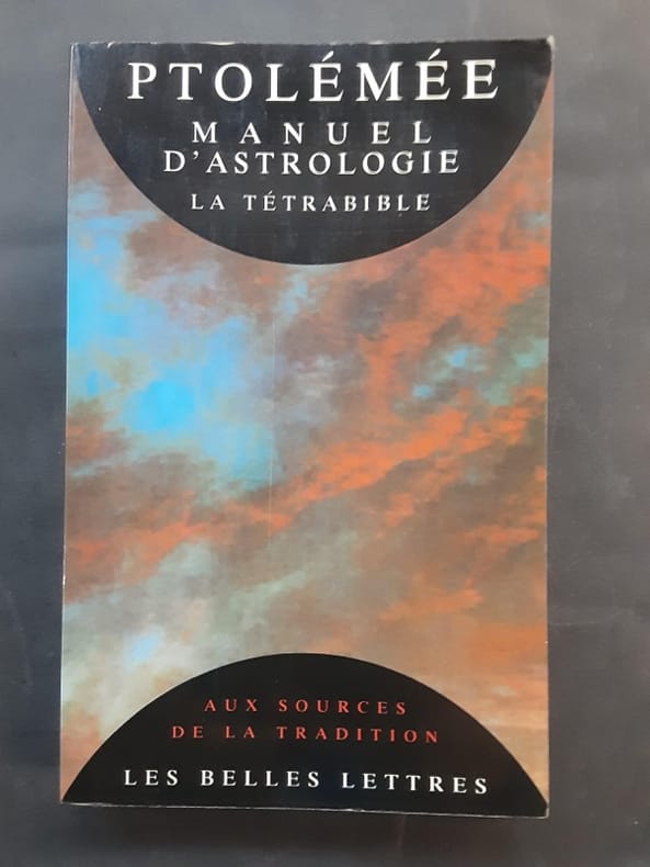
1993réf. 128993Les Belles Lettres, coll. « Aux Sources de tradition » 1993 In-8 broché 22 cm sur 13,9. 261 pages. Couverture légèrement passée. État correct d’occasion.
1596réf. 16119Venice:: Giovanni Magini 1596-1598. Map 5 x 6.75 inches on 11.5 x 8 inch leaf. Single leaf from Giovanni Maginis Geographicae Ptolemaei 1597-1598. Revised edition of Ptolemys Geography. Copperplate engraved map of Asia. Latin text to map. Italian text to recto and verso of leaf. Large initial L below map. Engraved by Girolamo Porro. A fine impression. Scarce. Most suitable for framing. Map is 5 x 6.75 inches on leaf at 11.5 x 8 inches. Giovanni Antonio Magini 1555-1617 Italian astronomer astrologer cartographer and mathematician. Girolamo Porro 1520-1604 famous Italian engraver on wood and on copper. Maginis Geographia was first published in 1596 Latin and in 1597 & 1598 in Italian. The maps detailed and extremely attractive were engraved by the famous Porro. Authorities generally believe that they are the finest of the small size Ptolemies following those by Gastaldi done earlier. [Giovanni Magini,] unknown
1794réf. 40805London: Printed for A. Strahan and T. Cadell Edinburgh E. Balfour 1794. A very good copy small marginal tear just touching a blank section of map. 31 x 52 cm. Removed from: Robertson William Historical Disquisition concerning the knowledge which the ancients had of India. [Printed for A. Strahan and T. Cadell] [Edinburgh] [E. Balfour] unknown
1794réf. 40805London: Printed for A. Strahan and T. Cadell Edinburgh E. Balfour 1794. A very good copy small marginal tear just touching a blank section of map. 31 x 52 cm. Removed from: Robertson William Historical Disquisition concerning the knowledge which the ancients had of India. [Printed for A. Strahan and T. Cadell] [Edinburgh] [E. Balfour] unknown books
1574réf. M7269Venice: Ruscelli c. 1574. Very Good;. Notes: An early and fine map of European Russia beautifully hand coloured. Italian text on verso. Girolamo Ruscelli 1518–1566 was an Italian mathematician and cartographer active in Venice during the early 16th century. Ruscelli is best known for his important revision of Ptolemy's Geographia published posthumously in 1574. Size : 190x260 mm 7.48x10.24 Inches Coloring: Hand Colored Category: Maps Europe Ukraine; Maps Russia; Ruscelli unknown
1574réf. M7280Venice: Ruscelli c. 1574. Very Good;. Notes: Italian text on verso. Girolamo Ruscelli 1518–1566 was an Italian mathematician and cartographer active in Venice during the early 16th century. Ruscelli is best known for his important revision of Ptolemy's Geographia published posthumously in 1574. Size : 189x260 mm 7.44x10.24 Inches Coloring: Hand Colored Category: Maps Asia Near East Turkey; Ruscelli unknown
réf. 56560946-75University of Pennsylvania Press. Used - Very Good. Former library copy. Pages intact with possible writing/highlighting. Binding strong with minor wear. Dust jackets/supplements may not be included. Includes library markings. Stock photo provided. Product includes identifying sticker. Better World Books: Buy Books. Do Good. University of Pennsylvania Press unknown
1997réf. DADAX0812233700University of Pennsylvania Press 1997-01-29. hardcover. New. 6.75x1.25x9.75. Buy with confidence. Excellent Customer Service & Return policy. University of Pennsylvania Press hardcover
réf. 39726Philadelphia University of Pennsylvania Press 1997. . 8vo. pp.x310 grey cloth silver lettering; slight dusting to upper edge of text block otherwise near-fine in a very good unclipped dust-jacket which is lightly creased. Philadelphia, University of Pennsylvania Press, 1997. hardcover
1997réf. x-0812233700Univ of Pennsylvania Pr 1997. Hardcover. New. annotated edition. 320 pages. 9.75x6.75x1.25 inches. Univ of Pennsylvania Pr hardcover
1997réf. Q-0812233700University of Pennsylvania Press 1997-01-29. Hardcover. New. New. In shrink wrap. Looks like an interesting title! University of Pennsylvania Press hardcover