PTOLEMEE ClaudeLivre Rare Book
294 résultats
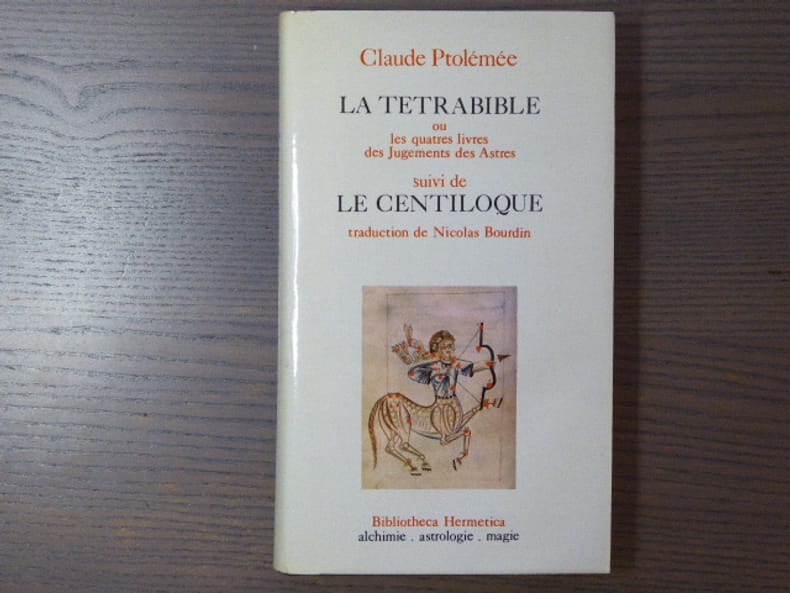
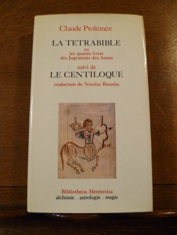
réf. 1361Bibliotheca Hermetica, CAL, 1974. Un volume relié (12 x 20,5 cm) de 285 pp. Reliure pleine toile d'éditeur sous jaquette illustrée. Ouvrage en bon état.
réf. 1361Bibliotheca Hermetica, CAL, 1974. Un volume relié (12 x 20,5 cm) de 285 pp. Reliure pleine toile d'éditeur sous jaquette illustrée. Ouvrage en bon état.
réf. 998025E.P. Denoël - Bibliotheca Hermetica Paris 1974 In-8 ( 210 X 125 mm ) de 285 pages, pleine toile grenat décorée sous jaquette illustrée en couleurs. Bel exemplaire. De la bibliothèque Séverin BATFROI ( Nom Ex-libris Manuscrit ).Collection Bibliotheca Hermetica dirigée par René ALLEAU.
1956réf. DL1160Louvain:: Bibliotheque de l'Universite Bureaux de Recueil 1956. 1956. Series: Universite de Louvain Recueil de Travaux d'Histoire et de Philologie 4th ser. fasc. 8. First edition. 8vo. 131 358 pp. 100 figs. Original printed wrappers. Ownership ink signature of David C. Lindberg. Very good. Bibliotheque de l'Universite Bureaux de Recueil, 1956. unknown books
1956réf. DL1160Louvain:: Bibliotheque de l'Universite Bureaux de Recueil 1956. 1956. Series: Universite de Louvain Recueil de Travaux d'Histoire et de Philologie 4th ser. fasc. 8. First edition. 8vo. 131 358 pp. 100 figs. Original printed wrappers. Ownership ink signature of David C. Lindberg. Very good. Bibliotheque de l'Universite Bureaux de Recueil, 1956. unknown
1956réf. W74057Louvain, Bibliothèque de l'Université / Bureaux du Recueil / Publications Universitaires de Louvain 1956 131 + 358pp., 26cm., dans la série "Université de Louvain. Recueil de travaux d'histoire et de philologie. 4e série" fasc.8, brochure originale, non coupé, bel état, [texte de "L'optique" de Ptolémée en latin, introduction et notes en français], W74057
1956réf. W116111Louvain, Bibliothèque de l'Université / Bureaux du Recueil / Publications Universitaires de Louvain 1956 131 + 358pp., 26cm., dans la série "Université de Louvain. Recueil de travaux d'histoire et de philologie. 4e série" fasc.8, jolie reliure solide en toile brune, titre doré au dos, qqs. cachets sur la page de titre, texte frais, bon état, [texte de "L'optique" de Ptolémée en latin, introduction et notes en français], poids: 1kg., W116111
réf. 45118797-nnew. unknown
1533réf. 204261533 Basle, Joannes Herwagen, mars 1533, petit in folio de (16)-244-145-85 pp. reliure d'origine de plein velin ivoire dont les bords ont été rogné, rognés, angles des premiers feuillets habilement restaurés par un professionnel, dans l'ensemble assez bon exemplaire.
1950Paris, Librairie orientaliste Geuthner 1950. In-4 agrafé. Les églises de la Gaule Mérovingienne. Le culte d'Horus à Edfou sous les Ptolémees. Les études byzantines en Amérique. La civilisation Etrusque. Bon état
réf. 11791in 16 demi-chagrin rouge à nerfs et à coins, titre, caissons, filets, date en pied, dorés, filets dorés sur les plats. Faux-titre, titre, 119 pages, texte encadré d’un frise décorative, non rogné, tête dorée, gravures en couleurs de MEAULLE. Notices par A. PONS Paris A. QUANTIN imprimeur éditeur 1879. Très bon état
1617réf. LBW-1933[Arnhem, Joannes Jansson, 1617]. 129 x 170 mm.
réf. 026714864X.Ghardcover. Good. Access codes and supplements are not guaranteed with used items. May be an ex-library book. hardcover
réf. 024392870X.Gpaperback. Good. Access codes and supplements are not guaranteed with used items. May be an ex-library book. paperback
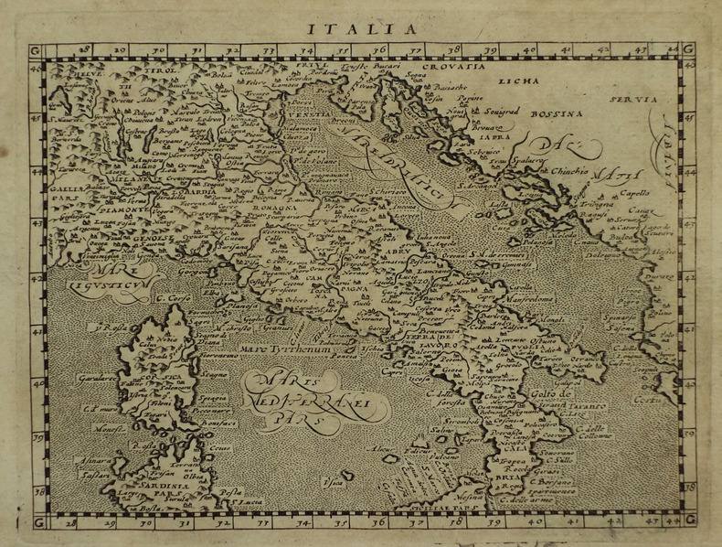
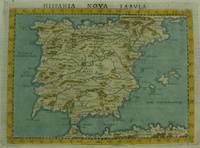
1561réf. M7270Venice: Ruscelli c. 1561. Very Good;. Notes: Italian text on verso. An early map of the Iberian Peninsula including Spain and Portugal beautifully hand coloured. Girolamo Ruscelli 1518–1566 was an Italian mathematician and cartographer active in Venice during the early 16th century. Ruscelli is best known for his important revision of Ptolemy's Geographia published posthumously in 1574. Size : 195x265 mm 7.68x10.43 Inches Coloring: Hand Colored Category: Maps Europe Spain;Maps Europe Portugal; Ruscelli unknown
réf. 34705Leipzig B. G. Teubner 1963. Volume I: xxxi 461pp. ; Volume II: vi 446pp. Original cloth in dustwrapper worn on both volumes although the wrapper of volume I is significantly more worn than volume II. Numerous in-text diagrams and charts. The reverse endpaper of Volume I contains a loose constallations chart. A very good copy. German language text Leipzig, B. G. Teubner, 1963 hardcover
1675réf. 3455Fredericum Leonard, Typographum Regis, 1675. In-folio (37,5 x 25,5 cm), 632 pp., 23 ff. d'index et errata (texte en Latin), reliure d'époque veau brun, dos à nerfs orné (quelques défauts d'usage mais très bon état intérieur, sans rousseurs). Edition originale. Cet ouvrage rare est l'une des meilleures sources pour l'histoire de l'ancienne Gaule, rédigé sous forme de dictionnaire, il n'a pas même été remplacé par le célèbre d'Anville.
réf. 41734Paris Catala Frères, imprimeurs-Editeurs 1925 in 4 (33x25,5) 1 chemise à lacets de l'éditeur, dos de percaline titré en long, plat supérieur titré, renfermant un fascicule de texte de 6 pages [1], suivi de 75 planches hors-texte volantes. Collationné complet. Bel exemplaire ( Photographies sur demande / We can send pictures of this book on simple request )
réf. ria9798985923780_inpPaperback. New. New Book; Fast Shipping from UK; Not signed; Not First Edition; Introducing a groundbreaking translation of Ptolemy's work Ge¿¿¿af¿¿¿ ¿f¿¿¿s¿¿ directly from ancient Greek to English accompanied by the original Greek text! Delve into the depths of this scholarly masterpiece and uncover a wealth of paperback
réf. B9798985923780Paperback / softback. New. paperback
réf. ria9781605204390_inpHardcover. New. New Book; Fast Shipping from UK; Not signed; Not First Edition; Geography of Claudius Ptolemy originally titled Geographia and written in the second century is a depiction of the geography of the Roman Empire at the time. Though inaccurate due to Ptolemy's varying methods of measurement and use of hardcover
1991réf. I5845New York: White Lotus 1991. Paperback. Good/no dj. 1.00. Claudius Ptolemy. Geography The White Lotus paperback
1925réf. 10383Publisher's quarter cloth string-tied chemise containing six pages of uncut text followed by 75 loose facsimile plates. Complete. Minor staining to covers but otherwise this is a nice clean copy with no previous owners' names or other defacements to the plates. Scarce. 10 x 13.25 in 25.5 x 33.5 cm Catala Freres hardcover
1562réf. 220508Venice: Vincenzo Valgrisi 1562. hardcover. very good-. Venice: Vincenzo Valgrisi 1562. 2 parts with separate pagination. Short thick 4to bound in 19th century vellum with red edges. Features 64 double page maps: 27 Ptolemaic maps showing the ancient world as Ptolemy knew it including one world map 37 "modern" maps with two world maps and several woodcut diagrams illustrations and decorative initials. Text in Latin. Staining throughout affecting some of the maps. Title page cropped .5" at right margin. Bookplate of Otto Orren Fisher and ink inscription of Charles Singer. Giuseppe Moleto Josephus Moletius 1531-1588 was an Italian mathematician who based the text of this edition on the 1525 translation by Wilibald Pirckheimer. Moleto's draws upon Ruscelli's enlarged maps of his 1561 edition which in turn were based upon those by Jacopo Gastaldi. Moleto has also included some of Girolamo Ruscelli's innovations from his own edition: the double hemisphere world map and "Carta Marina Nuova Tavola" a rare sea chart of the world. Also from Ruscelli is a revised version of the Zeno map of the Arctic first published in 1558. The Zeno map describes the purported journey of the author's ancestors in the 1390s to Greenland Iceland the mythical islands of Frisland and Icaria and what is now thought to be Newfoundland and Labrador. While Zeno shows Greenland connected to Norway Ruscelli updated the map by eliminating this land bridge. Despite its inaccuracies and inclusion of mythical lands the Zeno map persisted as the prevailing map of the Arctic and Greenland for many years. Six other New World maps include the South American continent Brazil Central America and the Baja Peninsula the eastern coast of North America Cuba and Hispaniola. Moleto juxtaposes the Ptolemaic maps with the contemporary offering easy comparison between ancient and new. Claudius Ptolemy 90-168 CE was a Roman geographer and mathematician living in Egypt who compiled his knowledge and theories about the world's geography into one seminal work. Although his maps did not survive his mathematical projections and location coordinates did. During the Renaissance revival of Greek and Roman works "Geographia" was rediscovered by monks and based upon Ptolemy's detailed instructions the maps were recreated. The first printed edition of "Geographia" with maps was published in Bologna in 1477. A rare and exciting edition for any collector. Vincenzo Valgrisi unknown books
1742réf. 09570London: Printed for John and Paul Knapton at the Crown 1742 Book. Good. Hardcover. in the original full leather with five raised bands modestly worn both hinges cracked but holding no significant foxing all folding maps present and untorn very little wear inside. Printed for John and Paul Knapton at the Crown hardcover