602 risultati
1916Very Good Turkish, Ottoman (1500-1928) Original color map. Folded. Oblong atlas folio. (50 x 60 cm). In Ottoman script. [MAP of EAST ANATOLIA and ARTVIN] Oltu, Artvin, Ispir, Hasankale. Shows Artvin, Ispir, Hasankale and Kars city. Scale: 1/200.000. This is one the serie of the Bonn projection maps which are the first map series in modern techniques in Turkey and the Ottoman Empire. In order to produce these maps covering Turkish territory, Reconnaissance Branch was incorporated into The Mapping Commission. The maps were produced in the datum based on the latitude and longitude of Ayasofya Mosque in equal area Bonn Projection. The field works for the 123 sheets covering the country were conducted by 76 staff. The production was completed in 18 years starting from east west. Field works continued without stopping except in years 1914 and 1920. This map series called also reconnaissance maps contributed a lot to producing 1:25.000 scale maps. Hegira: 1332 = Gregorian: 1916. Not description on map-maker.
1914Very Good Turkish, Ottoman (1500-1928) Original color map. Folded. Oblong atlas folio. (50 x 60 cm). In Ottoman script. [MAP of EAST ANATOLIA] Hozat, Dersim. Shows Eastern parts of Anatolia; Dersim-Horat and border of Erzincan city; Divrigi; Harput (Kharpout); Kilis; and Munzur Mountains, et alli. Scale: 1/200.000. Hegira: 1330 = Gregorian: 1914. Not description on map-maker.
1920Very Good Turkish, Ottoman (1500-1928) Original color map. Folded. Oblong atlas folio. (50 x 60 cm). In Ottoman script. [MAP of EAST BLACK SEA] Trabzon, Giresun, Erzincan, Ispir. Shows Trebizond, Cerasonte, Erzingan (Eriza), Suspiritis (Sper) of Erzurum (Erzeron city); mostly Black Sea shores of Trabzon and Giresun. . Scale: 1/200.000. This is one the serie of the Bonn projection maps which are the first map series in modern techniques in Turkey and the Ottoman Empire. In order to produce these maps covering Turkish territory, Reconnaissance Branch was incorporated into The Mapping Commission. The maps were produced in the datum based on the latitude and longitude of Ayasofya Mosque in equal area Bonn Projection. The field works for the 123 sheets covering the country were conducted by 76 staff. The production was completed in 18 years starting from east west. Field works continued without stopping except in years 1914 and 1920. This map series called also reconnaissance maps contributed a lot to producing 1:25.000 scale maps. Hegira: 1336 = Gregorian: 1920. Not description on map-maker. Extremely rare.
1926Very Good Turkish, Ottoman (1500-1928) Original color map on cloth. Folded. Oblong atlas folio. (50 x 60 cm). In Ottoman script. Shows Konya city and around, Alaiye at south. Not description on map-maker. Scale: 1: 200.000. This is one the serie of the Bonn projection maps which are the first map series in modern techniques in Turkey and the Ottoman Empire. In order to produce these maps covering Turkish territory, Reconnaissance Branch was incorporated into The Mapping Commission. The maps were produced in the datum based on the latitude and longitude of Ayasofya Mosque in equal area Bonn Projection. The field works for the 123 sheets covering the country were conducted by 76 staff. The production was completed in 18 years starting from east west. Field works continued without stopping except in years 1914 and 1920. This map series called also reconnaissance maps contributed a lot to producing 1:25.000 scale maps. Rare.
1912Very Good Turkish, Ottoman (1500-1928) Original color map on cloth. Folded. Oblong atlas folio. (50 x 60 cm). In Ottoman script. [MAP of MAGNESIA - AEGEAN REGION] Manisa - Soma, Izmir, Aydin cities (Magnesia, Smyrna and Tralleis) in Aegean region. It shows villages and settlements in Tayakadin of Iskenderiye. Scale: 1/25.000. Hegira: 1328 = Gregorian: 1912. This is one the serie of the Bonn projection maps which are the first map series in modern techniques in Turkey and the Ottoman Empire. In order to produce these maps covering Turkish territory, Reconnaissance Branch was incorporated into The Mapping Commission. The maps were produced in the datum based on the latitude and longitude of Ayasofya Mosque in equal area Bonn Projection. The field works for the 123 sheets covering the country were conducted by 76 staff. The production was completed in 18 years starting from east west. Field works continued without stopping except in years 1914 and 1920. This map series called also reconnaissance maps contributed a lot to producing 1:25.000 scale maps. Not description on map-maker. A very detailed map showing lakes, rivers and mountains. Extremely rare.
1916Very Good Turkish, Ottoman (1500-1928) Original color map. Folded. Oblong atlas folio. (50 x 60 cm). In Ottoman script. Scale: 1/200.000. [MAP of EAST ANATOLIA - ERZERON] [Erzurum:] Oltu, Artvin, Hasankale, Ispir. This is one the serie of the Bonn projection maps which are the first map series in modern techniques in Turkey and the Ottoman Empire. This is one the serie of the Bonn projection maps which are the first map series in modern techniques in Turkey and the Ottoman Empire. In order to produce these maps covering Turkish territory, Reconnaissance Branch was incorporated into The Mapping Commission. The maps were produced in the datum based on the latitude and longitude of Ayasofya Mosque in equal area Bonn Projection. The field works for the 123 sheets covering the country were conducted by 76 staff. The production was completed in 18 years starting from east west. Field works continued without stopping except in years 1914 and 1920. This map series called also reconnaissance maps contributed a lot to producing 1:25.000 scale maps. Not in Ataturk Library and TBMM Library.
1917Very Good Turkish, Ottoman (1500-1928) Original color map. Folded. Oblong atlas folio. (50 x 60 cm). In Ottoman script. Shows Eastern parts of Anatolia; Siverek, Urfa city and border of Diyarbakir and Adiyaman cities; Siverek; Harput (Kharpout); et alli. Scale: 1/200.000. Hegira: 1333 = Gregorian: 1917. Not description on map-maker. This is one the serie of the Bonn projection maps which are the first map series in modern techniques in Turkey and the Ottoman Empire. This is one the serie of the Bonn projection maps which are the first map series in modern techniques in Turkey and the Ottoman Empire. In order to produce these maps covering Turkish territory, Reconnaissance Branch was incorporated into The Mapping Commission. The maps were produced in the datum based on the latitude and longitude of Ayasofya Mosque in equal area Bonn Projection. The field works for the 123 sheets covering the country were conducted by 76 staff. The production was completed in 18 years starting from east west. Field works continued without stopping except in years 1914 and 1920. This map series called also reconnaissance maps contributed a lot to producing 1:25.000 scale maps. Subasi is cartographer of this map according to Türkezer - Cobanoglu: History of Mapping in Turkey-1:200.000 Scale Maps.
1910Very Good German Original color map on cloth. A little foxing on cloth. Very good. Folded. Folio. (57 x 43 cm). Toponyms in German. [MAP of BALKANS] 40-44 Zajecar. [Macedonia, Donau -Danube- River, Hungary and Bulgaria border, East Serbia].
1878Very Good German Original color map on cloth. A little foxing on cloth. Very good. Folded. Oblong folio. (45 x 51 cm). In German. [MAP of WEST GREECE] L. 15. Paramythia (Corfu). Jonisches Meer. Scale: 1/300000. A sheet of the collection of 'The general map of Central Europe'. appeared in the years between 1873-1876 with the work of Joseph Ritter von Scheda, (1815-1888) who was a general, geographer and cartographer.
2026rif. x-1032558687Taylor & Francis Ltd 2026. Paperback. New. 300 pages. 6.14x0.63x9.21 inches. Taylor & Francis Ltd paperback

1903(Viaggi - Macedonia - Penisola balcanica - Impero ottomano - Folklore - Etnografia - Europa sud-orientale) In 8°, legatura in piena tela editoriale blu con filetti e titoli impressi in oro al dorso, pp. X,(2),343,(1) + pp. 31,(1) di pubblicità editoriale, con 8 tavole fotografiche in b/n fuori testo di cui una in antiporta ed una mappa più volte ripiegata alla fine del volume. Legatura integra con lievi tracce del tempo, punti di ossidazione all'interno circoscritti ad alcune pagine ed ai fogli di guardia, dovuti alla porosità della carta usata, per altro buon esemplare. Relazione sulla missione di ricerca etnografica compiuta nel 1900 nella Macedonia ottomana, su incarico dell'Università di Cambridge, dallo scrittore e giornalista britannico G. F. Abbott. Prima edizione.
rif. 27573PARIS, Auguste Picard, 1910 - 1 ère Edition - Reliure 1/2 basane, frottée - In-8, 15 x 22,5 cm - Dos à nerfs, daté en queue - Titre doré Nombreuses illustrations in et hors texte - XI-837 pages - PHOTOGRAPHIES SUR DEMANDES - Envoi rapide et soigné
PARIS, Auguste Picard, 1910 - 1 ère Edition - Reliure 1/2 basane, frottée - In-8, 15 x 22,5 cm - Dos à nerfs, daté en queue - Titre doré Nombreuses illustrations in et hors texte - XI-837 pages - PHOTOGRAPHIES SUR DEMANDES - Envoi rapide et soigné
1995rif. 1220506PN. New. 1995. Reprint Edition. Soft Cover. Date is copyright date; this is a later reprint edition . PN paperback
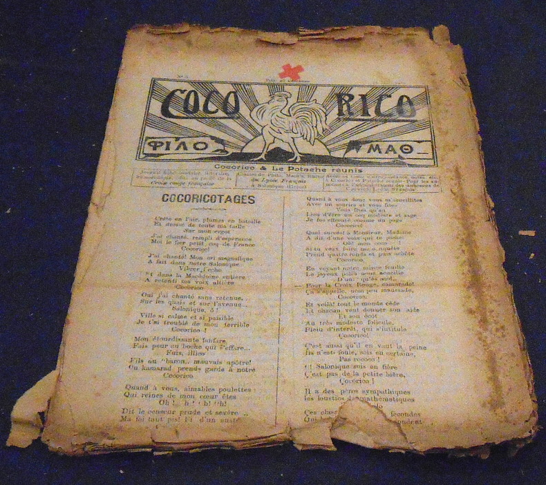
1916rif. 22266Cocorico & Le Potache Réunis Salonique, Journal hebdomadaire littéraire et humoristique des classes de philo, math’s et rhéto du Lycée Français, numéros 5 (18 mars 1916), 6, 9, 10, 11, 12, 15, et 16 (4 juin 1916) soient 8 numéros. Plié, 24 cm x 32 cm, 8 pages. articles non signés ou sous pseudonyme, publicités pour la salle de cinéma français. Plus ou moins bon état
19628vo; x, 109, 227, x pages; Publication no. 75. Bibliography on pages 223-227. In Hebrew & English. "Based chiefly on the Historia de preliis, by Leo, archpresbyter." Slight wear on binding and corners of cover. Note: inscribed from the author to Yosef Goldstein-Eizenthal. Otherwise, very good condition. (k-mx2-4)
19628vo; x, 109, 227, x pages; Publication no. 75. Bibliography on pages 223-227. In Hebrew & English. "Based chiefly on the Historia de preliis, by Leo, archpresbyter." No dust jacket, otherwise like new condition. (k-mx2-4A)
19628vo; x, 109, 227, x pages; Publication no. 75. Bibliography on pages 223-227. In Hebrew & English. "Based chiefly on the Historia de preliis, by Leo, archpresbyter." Book plate on endpage (Rabbi Stanley Platek), no dust jacket, very good condition +. (k-mx2-4B)
1914In 8, pp. 319 + (1b) con molte foto in b/n n.t. D. rifatto. Br. ed.
rif. 52063Collection de l’Institut français d’Athènes,1988
rif. 198076Paris, Rivière et Cie, 1938 in-8, 339 pp., broché.
rif. QWA-21240Nancy, Presses Universitaires de Nancy, 1993, in-8 br. (16 x 24), 525 p., coll. "Travaux et Mémoires / Etudes anciennes", 6 planches h.-t. in-fine, cartes et plans, très bon état.
1904rif. 1241311904 Librairie Plon, Plon-Nourrit et Cie, Imprimeurs-Editeurs, Paris - 1904 - In-8, broché, couverture illustrée - V + 57 pages
1914rif. 101593P., Chapelot, 1914, in-12, viii-268 pp, 35 pl. de photos hors texte, 7 croquis, 2 cartes dépliantes hors texte in fine, reliure demi-basane noire, dos à 4 nerfs pointillés, titres et doubles filets dorés (rel. de l'époque), bon état. Rare
1574Carta della Penisola Balcanica con parte della Turchia e Macedonia. Inserita nell'opera "La Geografia di Claudio Tolomeo alessandrino, già tradotta di greco in italiano da M. Giero. Ruscelli: & hora in questa nuoua editione da M. Gio. Malombra ricorretta, & purgata d'infiniti errori: ... Con l'Espositioni del Ruscelli, ... Con una copiosa tauola de' nomi antichi, dichiarati co' nomi moderni: dal Malombra riueduta, & ampliata. Et con un Discorso di M. Gioseppe Moleto, .. "