WEST RebeccaMareMagnum

624 résultats
19422 vols., 8vo., Third Impression, with 32 plates and endpaper maps (front endpaper maps in red and black); green buckram, gilt backs, green tops (mildly faded), a very good, bright, crisp copy in unclipped dustwrapper, the wrappers sunned at backstrips. Bright set of Dame Rebecca West's account of her journey through the Balkan states, one of the outstanding travel books of the twentieth century. Published four months after the first edition. NCBEL IV, p.770 (recording the first US and UK editions).
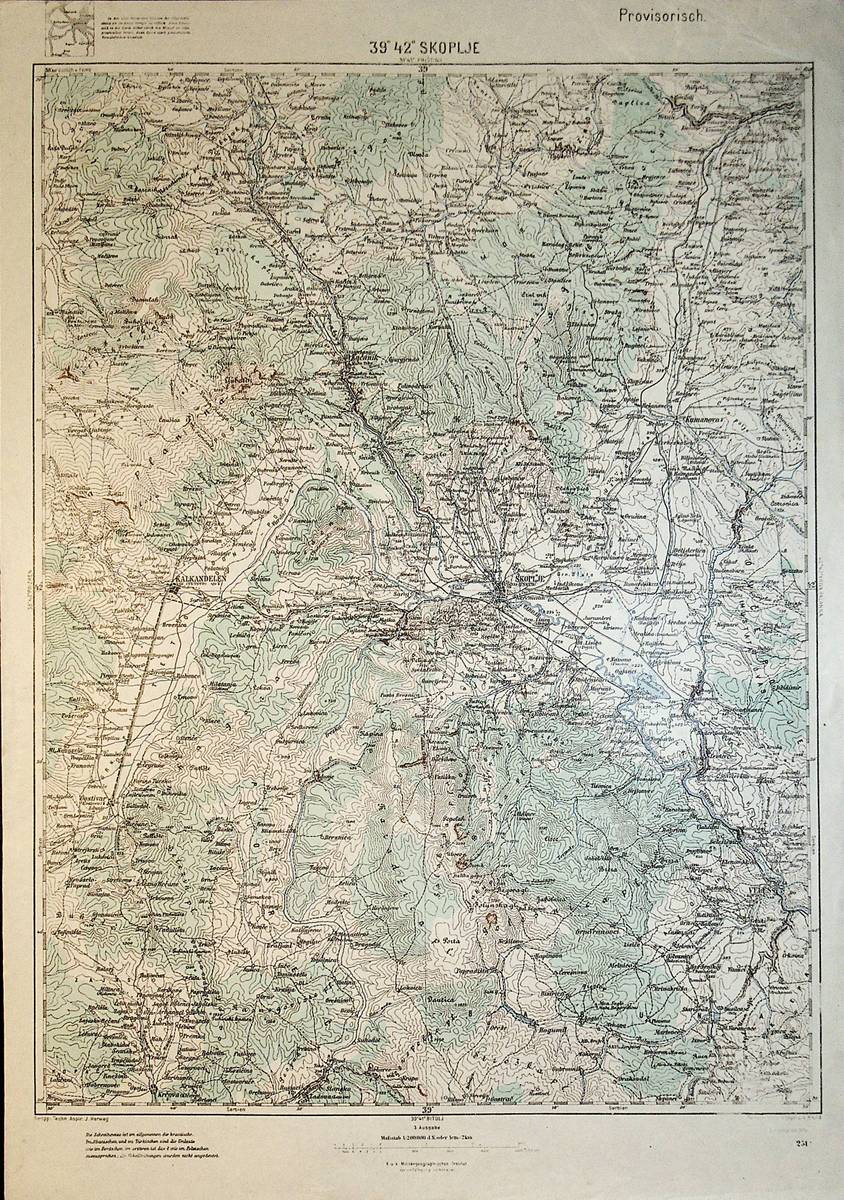
1914réf. A111-101Wien, Kaiserlich-K?nigliches Milit?r-Geographisches Institut, 1914. 3. Ausgabe, Hochformat, ca. 42 x 55 cm, Ausgabe: mehrf?rbig; Zustand: gut +
1915réf. A111-113Wien, Kaiserlich-K?nigliches Milit?r-Geographisches Institut, 1915. 2. Ausgabe, Hochformat, ca. 42 x 55 cm, Ausgabe: mehrf?rbig; Zustand: gut +
réf. SONG3631819110Used: Good unknown
1917Cover portrait of King Alexander, Constantine's Second Son and Successro. Abundantly illustrated with black and white photos. Contents: effect of the 'Battle of Athens", December 1916; Exposure of Constantine's hostility to the entente; The history of modern Greece; entente doubts and difficulties; position of Italy; Exchange of Notes; Effect of Russian Revolution and American Intervention; The Thessalian Crops; Entente Discussions; M. Jonnart appointed High Commissioner; Adbication of King Constantine; The New King, Alexander; Constantine's departure from Greece; M. Venizelos becomes Prime Minister; Persecution and massacres of Greeks in Turkey and Macedonia. Contents also discuss 'Care of Disabled British Soldiers'. Topics include: Pioneer work in France; Science of orthopaedics; Sir Robert Jones's work at Liverpool; Restoration of Function; Nerve Sutures; Muscles, Tendons and Bones; Sliding Splints; Shepherd's Bush; Curative Workshops; Training for Trades and Professions; Limbless Soldiers; Roehampton; Erskine House, Glasgow; Surgery and Disfigurements; The Blind; St. Dunstan's; Nervous Disease; The Star and Garter, Richmond; A Catechism for the Disabled. Average wear. Unmarked. Sound copy. It is suggested that this issue be read in conjunction with the following issues: Part 21 - The 1st Austrian Invasion of Serbia; Part 28 - The Intervention of Turkey; Part 36 - The 2nd and 3rd Austrian Invasions of Serbia; Part 88 - The Tragedy of Serbia; Part 144 - The Salonika Expedition, Oct. 1915-Nov. 1916; Part 165 - Greece and the War, 1914-1916. Magazine
2011réf. ART7405MSomogy, Louvre éditions, 2011. Fort In-4, relié, 727 pp. Nombreuses illustrations.
1909Very Good Turkish, Ottoman (1500-1928) Original color map on cloth. A little foxing on cloth. Very good. Folded. Oblong atlas folio. (66 x 72 cm). In Ottoman script. Scale: 1/210.000. Ottoman sanjaks in Albania, Macedonia and Greece. A rare Ottoman map of Balkans with Turkish place names for the period of pre-Balkan Wars, (1912-1913). Very important for onomastics and historical geography.
1909Very Good Turkish, Ottoman (1500-1928) Original color map on cloth. A little foxing on cloth. Very good. Folded. Oblong atlas folio. (66 x 72 cm). In Ottoman script. Scale: 1/210.000. Ottoman sanjaks in Balkans, Bulgaria. A very detailed map of Old Zagora. A rare Ottoman map of Balkans with Turkish place names for the period of pre-Balkan Wars, (1912-1913). Very important for onomastics and historical geography. Extremely rare.
1909Very Good Turkish, Ottoman (1500-1928) Original color map on cloth. A little foxing on cloth. Very good. Folded. Oblong atlas folio. (66 x 72 cm). In Ottoman script. Scale: 1/210.000. Ottoman sanjaks in Balkans, Bulgaria. A very detailed map of Plovdiv and Haskovo. A rare Ottoman map of Balkans with Turkish place names for the period of pre-Balkan Wars, (1912-1913). Very important for onomastics and historical geography. Extremely rare.
1909Very Good Turkish, Ottoman (1500-1928) Original color map on cloth. A little foxing on cloth. Very good. Folded. Oblong atlas folio. (66 x 72 cm). In Ottoman script. Scale: 1/210.000. Ottoman sanjaks in Balkans, Bulgaria. A very detailed map of Plovdiv. A rare Ottoman map of Balkans with Turkish place names for the period of pre-Balkan Wars, (1912-1913). Very important for onomastics and historical geography. Extremely rare.
1909Very Good Turkish, Ottoman (1500-1928) Original color map on cloth. A little foxing on cloth. Very good. Folded. Oblong atlas folio. (66 x 72 cm). In Ottoman script. Scale: 1/210.000. Ottoman sanjaks in Balkans, Macedonia. A very detailed map of Old Zagora. A rare Ottoman map of Balkans with Turkish place names for the period of pre-Balkan Wars, (1912-1913). Very important for onomastics and historical geography. Extremely rare.
1918Very Good French Original b/w map. Oblong: 57x66 cm. In French. Folded. It includes for pieces: Title, structure physique de la region, Thessalie and main part which shows the area from Ohrida Lake on the west to Golf of Thessaloniki on the east. [MAP] Mission antipaludique de l'Armee d'Orient: Carte des indices endemiques Macedoine, Thessalie, Serbie meridionale, confins albanais 1917 et 1918.
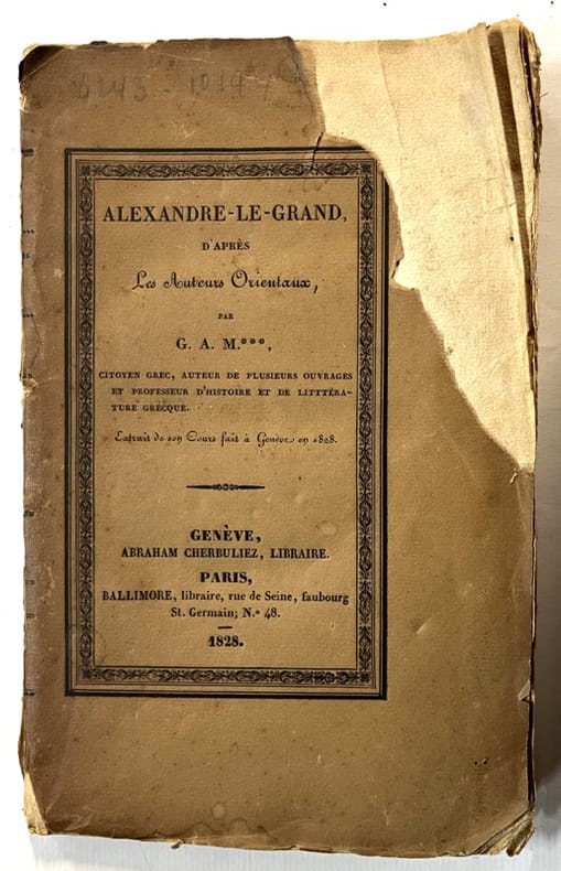
1828réf. 136738Genève, Paris, Abraham Cherbuliez, Ballimore 1828 In-8 22 x 14 cm. Broché, couverture marron, titre en noir sur le dos et le premier plat de couverture, VIII-138 pp. Manque angulaire en couverture.
1911Very Good Turkish, Ottoman (1500-1928) Original color map on cloth. Oblong atlas folio. (49 x 60 cm). Toponyms in Turkish with Arabic letters. In Ottoman script. Scale: 1/25.000. [MAP of ISTANBUL / CONSTANTINOPLE] Küçükköy, Petnahor, Makriköy, Kagidhane [Kagithane]. A rare Istanbul map including some old Byzantine toponyms.
1933Minor edgewear/rubbing to boards. Light shelfwear. Corners a bit rounded. Spine slightly sunned with light spotting. ; Looks at the military and political career of Aratos of Sicyon. ; Thiriwall Prize Essay 1933; 222 pages
1876Very Good German Original color map on cloth. Chipped on folded places. Otherwise a clean copy. Oblong atlas folio. (46 x 52 cm). Scale: 1/300.000. Toponyms in German. Shows Gallipoli [and the Hellespont, Edremid Gulf, Imbros, Tenedos, Lesbos (Midilli), Aivali (Ayvalik) and North Aegean shores of Anatolia]. A sheet of the collection of 'The general map of Central Europe'. appeared in the years between 1873-1876 with the work of Joseph Ritter von Scheda, (1815-1888) who was a general, geographer and cartographer.
réf. 53471110like new. unknown
réf. 53471110-nnew. unknown
réf. DADAX0801452260New unknown
1689Carta geografica della Macedonia, in bella coloritura coeva. Inserita in "Mercurio geografico overo Guida Geografica in tutte le parti del Mondo conforme le Tavole Geografiche del Sansone Baudran de Cantelli Data in luce con direttione, e cura di Gio. Giacomo de Rossi nella sua stamperia in Roma alla Pace all'insegna di Parigi con Priu: del S. Pont" edita a Roma alla fine del '600. La carta presenta un restauro conservativo nel Golfo di Salonicco e due arrossature agli angoli in basso
réf. DADAX0198746458New unknown
1979Ex-library copy with usual stamps, call numbers and pocket. Minor shelfwear. ; Deals with the development of the Macedonian State and the struggle for survival as well as the Reign of Philip the Second. Includes 10 maps, 3 plates. ; Volume 2 Only; 780 pages
réf. DADAX0367407299New unknown
réf. DADAX1472446410New unknown
1650Very Good Latin Original map. Oblong 4to. (25 x 34,5 cm). In Latin. From 'Mercator Atlas'. A very good copy. A detailed and decorative engraved map. B/w. Including Europae Pars (Thrace) and Black Sea, Aegean and Mediterranean, and with all ancient toponyms and names of regions including Cyprus and Syriae (Syria). Could not be find map-maker and being from which book. An early and decorative map of Asia Minor.