1987Scholar's name to ffep (Jenifer Neils). Inscription in pen to inner cover. Front panel of DJ is torn and has been repaired from behind with cellotape. ; 244 pages; Excerpt from the prologue written by the author MANOLIS ANDRONICOS, "It has been necessary to try to produce a text which will serve the needs of the specialist without ignoring those of the general reader. Such attempts are far from easy in execution and not infrequently succeed only in sacrificing academic integrity without providing adequate information for the non-specialist. It is not for me to say if I have achieved what I set out to do. Nevertheless, in addition to the text, there are the illustrations to the book which I believe contribute to the success of its purpose as I have defined it. A picture is always the best means - after the objects themselves - for every reader, specialist or not, to gain a closer idea of archaeological finds. Once I had decided to write the book I considered it essential not to limit myself to the recent impressive finds from the royal tombs, but to set before the reader a synoptic but solid account of all the archaeological finds in the area. In this way its considerable interest becomes comprehensible - an area which has yielded graves containing hand-made prehistoric pottery and bronze jewellery, a magnificent architectural complex dating to the last years of the fourth century, the theatre of a city, a small temple and a series of monumental Macedonian tombs with unique painted compositions of the classical period, masterpieces of jewellery made by Greek goldsmiths, of miniature sculpture and the most magnificent products of Greek metalworking. The brilliance of the latter sheds new light on the older finds so that these acquire their proper perspective. In addition to all this, the finds from Vergina provide new information about Macedonian Hellenism, our knowledge of which so far is based almost exclusively on literary sources emanating from Athens. It is natural that that city, the only serious political rival to Macedonia, should frequently distort its enemy's true face and denigrate its historical contribution to the development of Hellenism, at least before the meteoric rise of Alexander the Great."
1905rif. ABE-1754301579525COLLECTION BIBLIOTHEQUE D'HISTOIRE CONTEMPORAINE-FRANCE ET ITALIE-FRANCE ET ANGLETERRE-SIAM-MAROC-SAINT SIEGE-TUNISIE-MACEDOINE-SERBIE-CRETE-RUSSIE ET JAPON-LA CHINE ET LA GUERRE-320 PAGES-12,5 CM X 19 CM-RELIURE DOS ET COINS PERCALINE (EN PARTIE TACHEE)-PLATS MARBRES- COUVERTURE CONSERVEE-SIGNET-TRANCHE SUP DOREE
rif. 9389Vers 1917. Album 19 x 25 cm avec environ 120 tirages photographiques.
1933pp. 529-659 + 6 Full Page Plates. Text drawings and photographs. 280mm. Original printed wraps. Small loss at head and tail of spine. Some topics covered include: AGORA EXCAVATION; CORINTH; MACEDONIA GREEK INSCRIPTION. VERIA BX 3
1996Very Good Russian Paperback. Roy. 8vo. (24 x 17 cm). In Russian and English summary. 617 p. Makedonski narodni lrikazni od Kostursko. Izvorni zapisi.= Macedonian folktales from Kostur region. Authentic recording.
rif. 10494Bruxelles, Presses Académiques Européennes, 1964 14 x 18, 306 pp., broché, non coupé, bon état
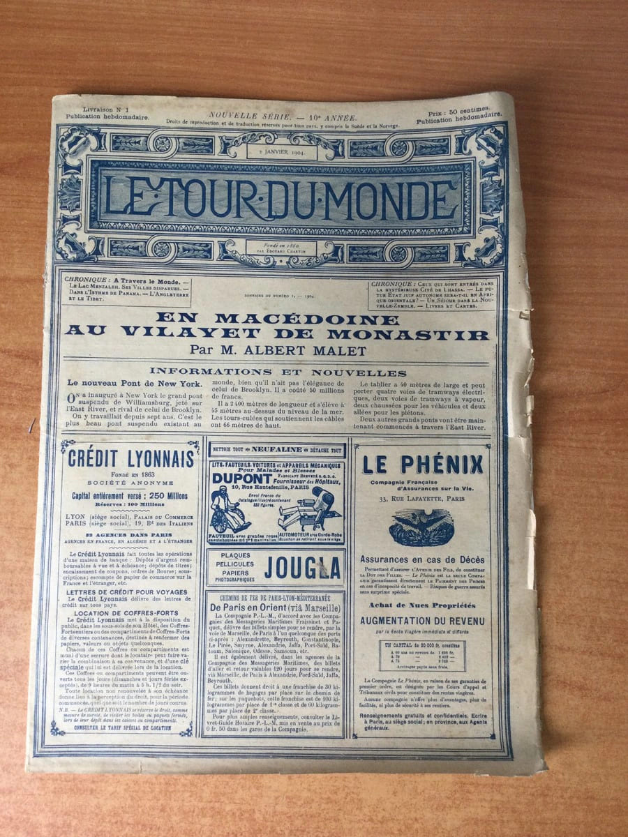
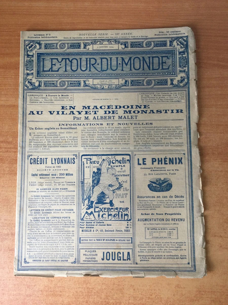
rif. 68742Imprimerie Fernand Schmidt 1904 périodique journal 31,5*23 19 pages
rif. 68743Imprimerie Fernand Schmidt 1904 périodique journal 31,5*23 pages
1997Informative illustrated articles by over 20 Greek academics providing a comprehensive introduction to Macedonia, past and present for visitors, 261p. illus. maps, ibliography.index Book
1961Light browning to wraps. Gift inscription on inner wrap. Light pencil notes on ffep only. Old price in pen. ; University of California Publications in History; 92 pages; Phylarchus was a Greek historical writer whose works have been lost, but not before having been considerably used by other historians whose works have survived.
2023rif. LFA-126744834Un ouvrage de 668 pages, format 165 x 240 mm, illustré, broché couverture rempliée, publié en 2023, Editions Perrin, bon état
Very Good English Paperback. Pbo. Roy. 8vo. (24 x 16 cm). In German. 16 p. Der Bergbau in Makedonien und Chalkidike. [Separatum].
1996rif. 100137622Center for the Study of Language and Inf 1996 392 pages 15 27x2 34x22 89cm. 1996. Broché. 392 pages.
New York, Harper & Brothers, 1880, in-16, tela edit. (lievi difetti), pp. 278, [12], 6, [4]. Con illustrazioni.
1903(Viaggi - Macedonia - Penisola balcanica - Impero ottomano - Folklore - Etnografia - Europa sud-orientale) In 8°, legatura in piena tela editoriale blu con filetti e titoli impressi in oro al dorso, pp. X,(2),343,(1) + pp. 31,(1) di pubblicità editoriale, con 8 tavole fotografiche in b/n fuori testo di cui una in antiporta ed una mappa più volte ripiegata alla fine del volume. Legatura integra con lievi tracce del tempo, punti di ossidazione all'interno circoscritti ad alcune pagine ed ai fogli di guardia, dovuti alla porosità della carta usata, per altro buon esemplare. Relazione sulla missione di ricerca etnografica compiuta nel 1900 nella Macedonia ottomana, su incarico dell'Università di Cambridge, dallo scrittore e giornalista britannico G. F. Abbott. Prima edizione.
1971in 16°, bross. edit. con bandelle e acetato
1916Very Good Turkish, Ottoman (1500-1928) Original color map. 50x60 cm. In Ottoman script. Scale: 1/200000. Ottoman map of Eastern Anatolia. Bargiri, Hoy, Baskal'a, Malazgird. It shows Lake Erçek located on the east of Lake Van which is an endorheic salt lake in Van Province in eastern Turkey, about 30 kilometres; on north side, Bargiri place where the oldest district of Van city; on east, Turkish and Azerbaijani and Iranian borders and Hoy city of the West Azerbaijan; and on west, map shows Malazgird [Malazgirt]. This is one the serie of the Bonn projection maps which are the first map series in modern techniques in Turkey and the Ottoman Empire. In order to produce these maps covering Turkish territory, Reconnaissance Branch was incorporated into The Mapping Commission. The maps were produced in the datum based on the latitude and longitude of Ayasofya Mosque in equal area Bonn Projection. The field works for the 123 sheets covering the country were conducted by 76 staff. The production was completed in 18 years starting from east west. Field works continued without stopping except in years 1914 and 1920. This map series called also reconnaissance maps contributed a lot to producing 1:25.000 scale maps.
rif. 68690Europe. Revue littéraire mensuelle, 56e année, n°588, avril 1978, in 8° broché, 251 pages ; couverture illustrée.
rif. 68695Europe. Revue littéraire mensuelle, 55e année, n°573, janvier 1977, in 8° broché, 247 pages.
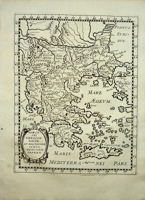
rif. 018786[Philippe Briet, Parallela geographiae veteris et novae] Diocèses Thraciae daciae et macedoniae juxta notitiam imperii - Grèce, Macédoine Gravure originale, 1649, environ 240*170mm. Gravure tirée de l'ouvrage du savant jésuite Philippe Briet (1601-1668) publié en 1648-1649. Texte au dos. [436]
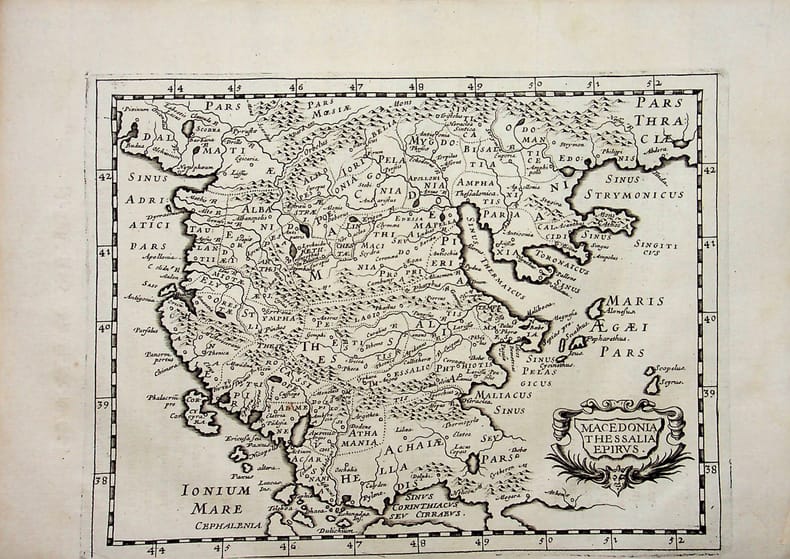
rif. 018790[Philippe Briet, Parallela geographiae veteris et novae] Macedonia, Thessalia, Epirus - Macédoine, Thessalie, Epire. Grèce. Gravure originale, 1649, environ 240*170mm. Gravure tirée de l'ouvrage du savant jésuite Philippe Briet (1601-1668) publié en 1648-1649. Texte au dos. [436]
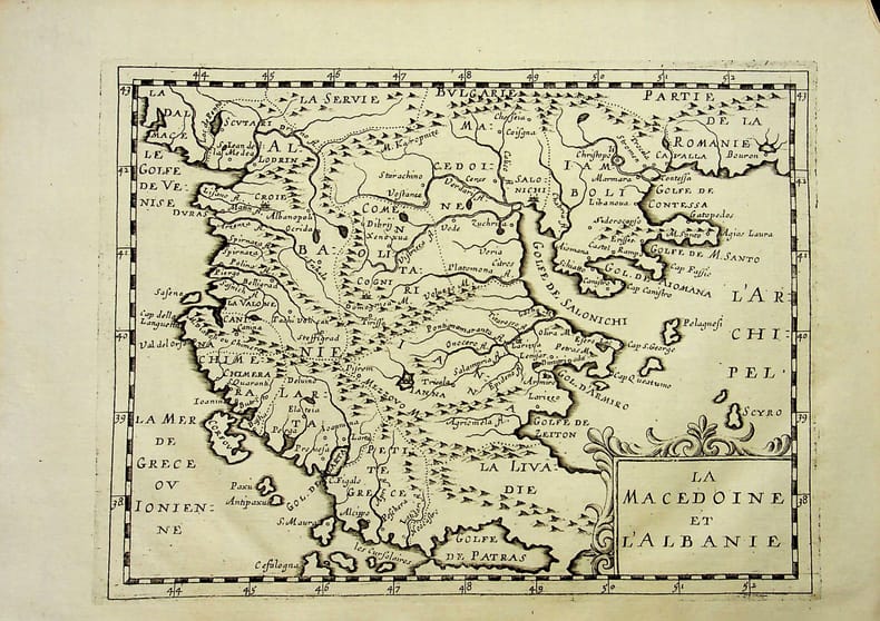
rif. 018797[Philippe Briet, Parallela geographiae veteris et novae] La Macédoine et l'Albanie. Gravure originale, 1649, environ 240*170mm. Gravure tirée de l'ouvrage du savant jésuite Philippe Briet (1601-1668) publié en 1648-1649. Texte au dos. [436]
1993rif. LFA-126739873N° 101 (Juin 1993) 66 pages, format 220 x 295 mm, illustré, broché couverture couleurs, bon état
1914This contemporary report investigated the impact of the conflicts that took place in the Balkan States in 1912 and 1913 when Greece, Serbia, Montenegro and Bulgaria declared war upon the Ottoman Empire and defeated it . In 1913 the Second Balkan War began when Bulgaria, dissatisfied with its loss of Macedonia, attacked its former Balkan League allies. The Balkan Wars were marked by ethnic cleansing with all parties being responsible for grave atrocities against civilians which were documented in this report.[X],418p. Plate,tables mapd. Copy neat and complete with plates and fold-out maps. Library marks including book plate,cover slightly shelf worn, else every good. Ex-Library
1917Very Good Turkish, Ottoman (1500-1928) Original color map. Folded. Oblong atlas folio. (50 x 60 cm). In Ottoman script. Shows Southeastern parts of Asia Minor and Syria; Siverek, Sard (Iraq) and Ras Al-Ayn (Rasulayn - Resualyn) in Syria. Hegira: 1333 = Gregorian: 1917. Not description on map-maker. Scale: 1: 200.000. This is one the serie of the Bonn projection maps which are the first map series in modern techniques in Turkey and the Ottoman Empire. In order to produce these maps covering Turkish territory, Reconnaissance Branch was incorporated into The Mapping Commission. The maps were produced in the datum based on the latitude and longitude of Ayasofya Mosque in equal area Bonn Projection. The field works for the 123 sheets covering the country were conducted by 76 staff. The production was completed in 18 years starting from east west. Field works continued without stopping except in years 1914 and 1920. This map series called also reconnaissance maps contributed a lot to producing 1:25.000 scale maps. According to Türkezer & Çobanoglu: History of Mapping in Turkey-1:200.000 Scale Maps, last cartographer of Diyarbakir regio is M. Sait Malatyali. No his biographic material and info in 'Savaslarda Haritacilar'. Rare.