602 résultats
1827In 8 cm 23x15. Pp. XX+525+(7). Edizione del 1827 di questo manuale di storia antica scritto da Arnold Hermann Ludwig Heeren (1760-1842) storico tedesco. L'opera è in un unico volume ed è completa. All'interno: Storia di Asia, Africa, Assiri, Medi, Babilonesi, Asia Anteriore, Ebrei, Egitto, Cartaginesi, Cartagine, Persia, Grecia, Sparta, Atene, Grecia, Colonie greche, Macedonia, Siria, Ebrei, Storia romana, Cesare Augusto ecc... Bella copertina in mezza pelle con titolo e decorazioni in oro al dorso. In buone condizioni. Copertina in mezza pelle con titolo e decorazioni in oro al dorso in discrete condizioni generali con lievi usure ai margini e dorso. Legatura in buone condizioni con qualche lievissima rottura. All'interno le pagine si presentano in buone condizioni con fioriture. Edition of 1827 of this manual of ancient history written by Arnold Hermann Ludwig Heeren (1760-1842) german historian. The work is in one volume and it is complete. Inside: History of Asia, Africa, Assiri, Medians, Babylonians, Asia Anteriore, Jewish, Egypt, Cartaginesi, Cartago, Persia, Greece, Sparta, Athens, Greece, Greek colonies, Macedonia, Syria, Jewish, Roman History, Cesare Augusto ecc... Beautiful half leather coeval cover with golden title and decorations in the spine. In very good conditions. Half leather cover with golden title and decorations in good general conditions slightly worn in the edges and spine. Binding in good conditions with some very slight crack. Inside pages are in good conditions with foxings.
1992Salonicco, Municipal Art Gallery, 1992, 4to (cm. 27 x 27) brossura con copertina illustrata a colori, pp. 118 con numerose illustrazioni a colori nel testo. testo bilingue greco/inglese.
1902Outside dimensions 14.5" x 10.5". Circa 1902. Centerfold. Light wear. Please see our photo for details. Book
1974Yearbook about the Yugoslav Republic of Macedonia 1975. Describes life and developments at that time - just 12 years after the devastating Skopje earthquake of 1963. 200p.illus [some col.] [NO copies in WorldCat] Book
1993Offprint from the Southeast European Yearbook 1992 - transcripts and copies of Greek and FYROM documents. 18p. illus (col) map Brochure
PARIS, Payot, Collection Bibliothèque Historique - 1935 - E.O. - In-8, 23 x 14 cms - Couverture beige illustrée, texte en marron et rouge - 9Illustrations Nb PP HT - 330 pages - Propre "Metternich, l'antagoniste du grand Corse, "le dieu terne des chancelleries classiques", comme l'a appelé Albert Sorel, ne peut manquer d'éveiller l'intérêt. Je me suis parfaitement rendu compte combien il est difficile d'écrire sa vie, car l'habile élève de Talleyrand, qui disait que Dieu à donné la langue à l'homme pour déguiser sa pensée, était un maître reconnu de la mystification. C'est pourquoi il m'est permis d'espérer, de désirer, que la description, entreprise dans ce livre, du chancelier d'Etat autrichien, corresponde vraiment à la vérité historique".?
réf. 19254PARIS, Payot, Collection Bibliothèque Historique - 1935 - E.O. - In-8, 23 x 14 cms - Couverture beige illustrée, texte en marron et rouge - 9Illustrations Nb PP HT - 330 pages - Propre
réf. 026024239X.Ghardcover. Good. Access codes and supplements are not guaranteed with used items. May be an ex-library book. hardcover
réf. 1390422941.Gpaperback. Good. Access codes and supplements are not guaranteed with used items. May be an ex-library book. paperback
1994This issue contains a bibliography about "Slav-speakers and Macedonians Slavs in Modern Greek Macedonia " Journal
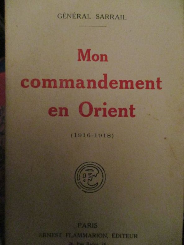
réf. 32036Paris Ernest Flammarion 0 pleine toile noire de Bibliothèque - bibliothèque de Garnison - pas de Cachets , VI-424
réf. 3910paris flammarion éditeur 1920 - In 12 broché 415 pages
1991réf. LFA-126741636Un ouvrage de 256 pages, format 215 x 280 mm, illustré, broché couverture couleurs, publié en 1991, Henri Veyrier
1934Mm 150x220 Brossura di pp. 393 con XIV tavole fuori testo, un'ampia gora interessa la quarta di copertina ma non il teto in buone condizioni. SPEDIZIONE IN 24 ORE DALL'ORDINE.
1966Beograd, Jugoslavija, 1966, 16mo (cm. 16,5 x 12) brossura editoriale con copertina illustrata a colori, pp. VIII-48 completamente illustrato. Testo in tedesco.
1998Mm 135x215 Prima edizione italiana a cura di Francesco Spagnolo Acht. Palinsesto di parole e immagini raccolto e ordinato da Imre Toth - Volume cartonato con sovraccoperta editoriale illustrata a colori, 487 pagine con tavole a colori fuori testo. Opera in ottime condizioni. SPEDIZIONE IN 24 ORE DALLA CONFERMA DELL'ORDINE.
1993réf. LFA-126739873N° 101 (Juin 1993) 66 pages, format 220 x 295 mm, illustré, broché couverture couleurs, bon état
2014Volume 2 in the series "Archeia Genikou Epiteleiou Stratou" originally issued in 1989 by the Army History Directorate./Lambrakis [Pages 1-226 + maps ] Book
2014This is part 2 of a 2 volume set -numbered pages pages 227- 487+ maps. illus. Will NOT be sold separately [Series: "Archeia Genikou Epiteleiou Stratou" originally issued in 1989 by the Army History Directorate/Lambrakis.] [ONE copy found in WorldCat] Book
1876Very Good German Original color map on cloth. Chipped on folded places. Oblong atlas folio. (46 x 52 cm). Toponyms in German. A sheet of the collection of 'The general map of Central Europe'. appeared in the years between 1873-1876 with the work of Joseph Ritter von Scheda, (1815-1888) who was a general, geographer and cartographer.
1960réf. 1605a1127a4zbvkLondon, Her Majesty's Stationary Office, 1964 (1960). xii, 404 pages; incl. 3 multiple folded tabels / x, pages 405-628. - Publisher's gilt-titled darkred cloth-bindings with gilt emblems at frontpanels; 4to.(ca. 33 x 20 x 5 cm; ca. 3,1 kg.).
1883réf. 4174Kjobenhavn, Forlagt af Broedrene Salmonsen & Andr. Schou, 1883. med illustrationer i traesnit, initialer og vignetter. (mit sehr vielen Textholzstichen + Tafeln sowie Vignetten / many wood engravings in text and on plates + vignettes) OHLdr., 776 S., Gr.8°, 1. Aufl. (orig. half-leather, 776 pp., gr.8°, first edition)
2011New English Paperback. Pbo. Roy. 8vo. (24 x 17 cm). In English. 2 volumes set: (616 p.; 502 p.). Ottoman diplomatic documents on the origins of World War One IV: The Macedonian issue 1879-1912. 2 volumes set.
1916Very Good Turkish, Ottoman (1500-1928) Original color map. 50x60 cm. In Ottoman script. Scale: 1/200000. Ottoman map of Eastern Anatolia. Bargiri, Hoy, Baskal'a, Malazgird. It shows Lake Erçek located on the east of Lake Van which is an endorheic salt lake in Van Province in eastern Turkey, about 30 kilometres; on north side, Bargiri place where the oldest district of Van city; on east, Turkish and Azerbaijani and Iranian borders and Hoy city of the West Azerbaijan; and on west, map shows Malazgird [Malazgirt]. This is one the serie of the Bonn projection maps which are the first map series in modern techniques in Turkey and the Ottoman Empire. In order to produce these maps covering Turkish territory, Reconnaissance Branch was incorporated into The Mapping Commission. The maps were produced in the datum based on the latitude and longitude of Ayasofya Mosque in equal area Bonn Projection. The field works for the 123 sheets covering the country were conducted by 76 staff. The production was completed in 18 years starting from east west. Field works continued without stopping except in years 1914 and 1920. This map series called also reconnaissance maps contributed a lot to producing 1:25.000 scale maps.
1909Very Good Turkish, Ottoman (1500-1928) Original color map on cloth. A little foxing on cloth. Very good. Folded. Oblong atlas folio. (50 x 67 cm). In Ottoman script. Scale: 1/300.000. Map of Ottoman Kayseri printed in its period. No publisher and map-maker. Physical geography of Kayseri city and its around. It shows Kayseri, Sultan Sazligi, mountains and hills, Malatya borders, etc.