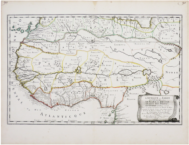
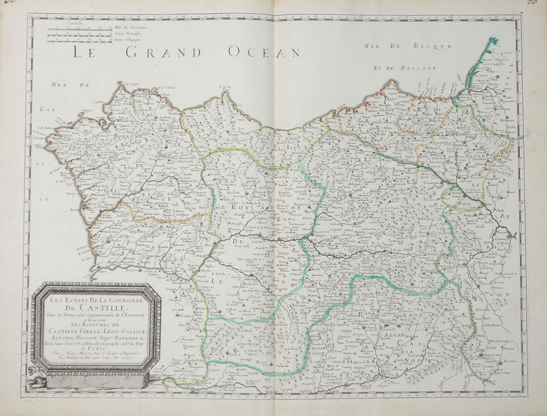
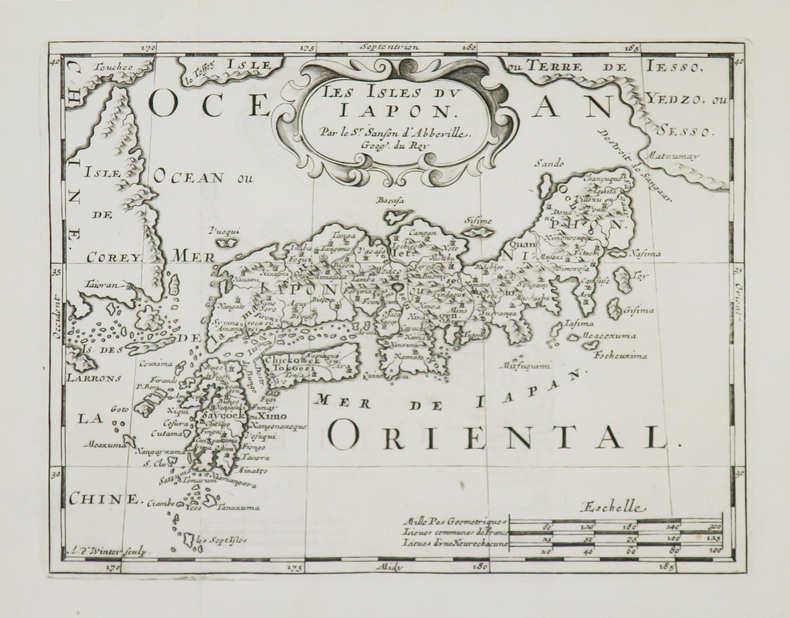
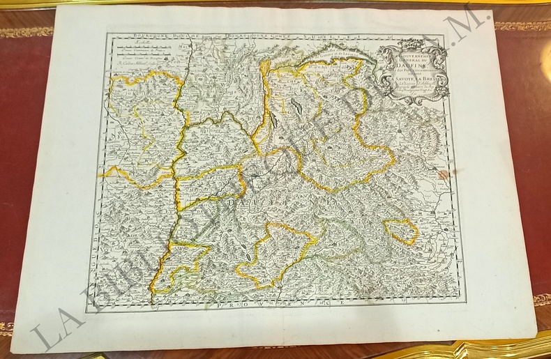
SANSON d'ABBEVILLE (Nicolas).Livre Rare Book
917 résultats
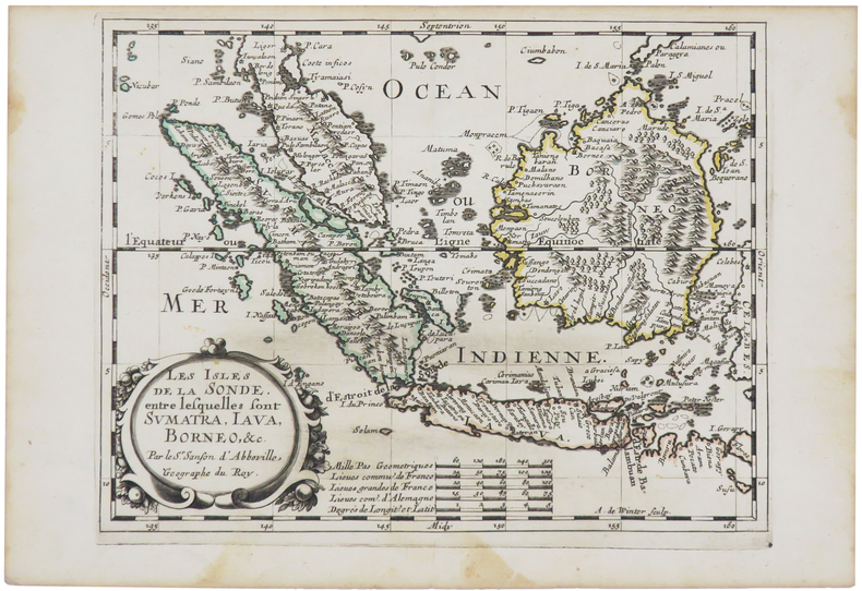
1700réf. LBW-5427[1700]. 202 x 266 mm.
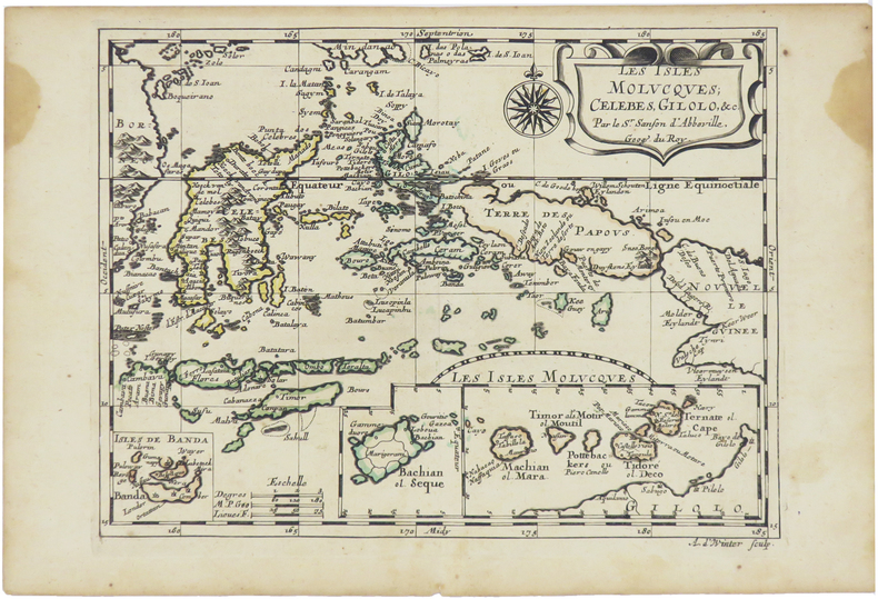
1660réf. LBW-5437[circa 1660]. 195 x 247 mm.
1680réf. LBW-5478[Paris, circa 1680]. 187 x 245 mm.
1703réf. LBW02524Paris chez l'autheur 1703 417 x 560 mm.
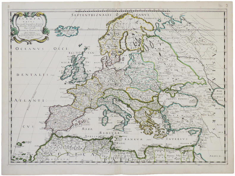
1650réf. LBW-4944Paris, chez l'auteur et chez Pierre Mariette, 1650. 393 x 553 mm.
réf. 98233Paris chez l'auteur 1699-1690 1 vol. relié 2 parties reliées en un vol. in-18, basane havane écailles de tortue, dos à nerfs, pièces de titre de basane bordeaux, caissons ornés de fleurons et dentelles dorées, tranches rouges, (22) + 144 et 178 + (12) + 48 pp. (cat. éd.), 4 cartes dépliantes sur les 6 (reliure de l'époque usée mais solide). Nicolas Sanson (1600-1667) né à Abbeville est cartographe célèbre du XVIIe siècle. Sa première carte importante est "Les Postes de France", en 1632.
réf. 98233Paris chez l'auteur 1699-1690 1 vol. relié 2 parties reliées en un vol. in-18, basane havane écailles de tortue, dos à nerfs, pièces de titre de basane bordeaux, caissons ornés de fleurons et dentelles dorées, tranches rouges, (22) + 144 et 178 + (12) + 48 pp. (cat. éd.), 4 cartes dépliantes sur les 6 (reliure de l'époque usée mais solide). Nicolas Sanson (1600-1667) né à Abbeville est cartographe célèbre du XVIIe siècle. Sa première carte importante est "Les Postes de France", en 1632.
1655réf. LBW-7677Paris, Pierre Mariette, 1655. 342 x 547 mm.
1683réf. LBW-6981683 197 x 269 mm.
1652réf. LBW-656Paris, Pierre Mariette, 1652. 404 x 533 mm.
1700réf. LBW-4948[1700]. 185 x 239 mm.
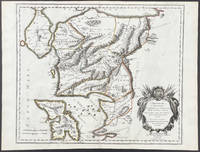
réf. 3253Americas: Amsterdam Francois Halma 1705. Copper engraved map of Peru by N. Sanson from Halma's Algemeene Werelde Beschryving Vol. 3 Black and white; title in Dutch; verso blank; strapwork title cartouche. Small map of Tierra del Fuego showing both the Strait of Magellan and Le Maire Strait. Inland detail is confined to a mountain range and several rivers and the mythical Destroit de Browers is labeled at far right. This map appeared in Algemeene Weereld-Beschryving nae de Rechte Verdeeling der Landschappen Plaetsen Zeeën Rivieren &c. Geographisch Politisch Historisch Chronologisch en Genealogisch a Dutch edition of A. Phérotée de la Croix's Nouvelle Methode Pour Apprendre Facilement la Geographie Universelle which first appeared in 1690. Dark impression. Nicolas Sanson d'Abbeville.1600-67 ' father of the French cartography' and founder of the Sanson firm. Atlas ' Cartes générales de toutes les parties du Monde' 1658-70 and a pocket atlas in 4 parts 1652-1705. Sanson's small maps from A. Phérotée de la Croix's Nouvelle Methode Pour Apprendre Facilement la Geographie Universelle. first published in 1652 and engraved by A. Peyrounin were copied several times by various map publishers. Johann David Zunners made copies of Sanson's maps for his German translation of Die Gantze Erd-Kugel in 1679. Johannes Ribbius and Simon de Vries published copies in 1682 and 1683 with new maps engraved by Antoine d'Winter. The plates were later sold to Francois Halma who used them in 1699 and then again in 1705 with the titles re-engraved in Dutch. François Halma 1653 - 1722 Dutch publisher/printer; dealer/auction house. Cartographer and publisher of maps active in Utrecht Amsterdam Franeker and Leeuwarden. Published 'Description de l'Univers' 1700; 'Algemene Wereldtbescrijving' 1705; 'Corpus Inscriptionum' 1707 and 'Lexicon Philosophicum' 1713. Halma acquired many of the plates for Algemeene Weereld-Beschryving from Joannes Ribbius who had enlisted the services of engraver Antoine de Winter to make copies of the maps in Nicolas Sanson's quarto atlases of the four continents. De Winter made very few geographical changes and maintained the attribution to Sanson on the newly engraved plates. Halma supplemented the Sanson maps with about a dozen new maps engraved in the same style as Sanson's without any attribution on the maps as well as 23 panoramic views of famous cities around the world. Keoman: Hal 1; Phillips 528. Americas South America Tierra del Fuego Magellanica Strait of Magellan Amsterdam Francois Halma 1705 unknown
1652réf. YRG-392Carte géographique originale réalisée par Sanson d’Abbeville et gravée à la cuve par R. Cordier, (57,5 x 43,5 cm). Rehaussée de couleur, d'époque.
1670réf. 9482Scarce map engraving outlined in original color from Sanson's Cartes Generales de Toutes les Parties du Monde. The image measures approximately 19.75 x 16.5 in 50 x 42 cm; page measures 23.25 x 17.5 in 59 x 44.5 cm. Pierre Mariette
1723réf. 202384Amsterdam: Mortier Pieter II 1723. unbound. very good. Map. Engraving with hand coloring. Image measures 14.5" x 19.25". Includes parts of modern day Morocco Algeria Tunisia and Libya. Nicolas Sanson 1600-1667 is considered the founder of the French school of cartography. In reaction to the prevailing trend of Dutch lavishness Sanson favored minimal details focusing rather on accurate cartography than ornament. Large decorative title cartouche. Map is in good condition with ample margins. Staining along centerfold. Chipped near edges along centerfold. Mortier, Pieter II unknown
1723réf. 202384Amsterdam: Mortier Pieter II 1723. unbound. very good. Map. Engraving with hand coloring. Image measures 14.5" x 19.25". Includes parts of modern day Morocco Algeria Tunisia and Libya. Nicolas Sanson 1600-1667 is considered the founder of the French school of cartography. In reaction to the prevailing trend of Dutch lavishness Sanson favored minimal details focusing rather on accurate cartography than ornament. Large decorative title cartouche. Map is in good condition with ample margins. Staining along centerfold. Chipped near edges along centerfold. Mortier, Pieter II unknown books
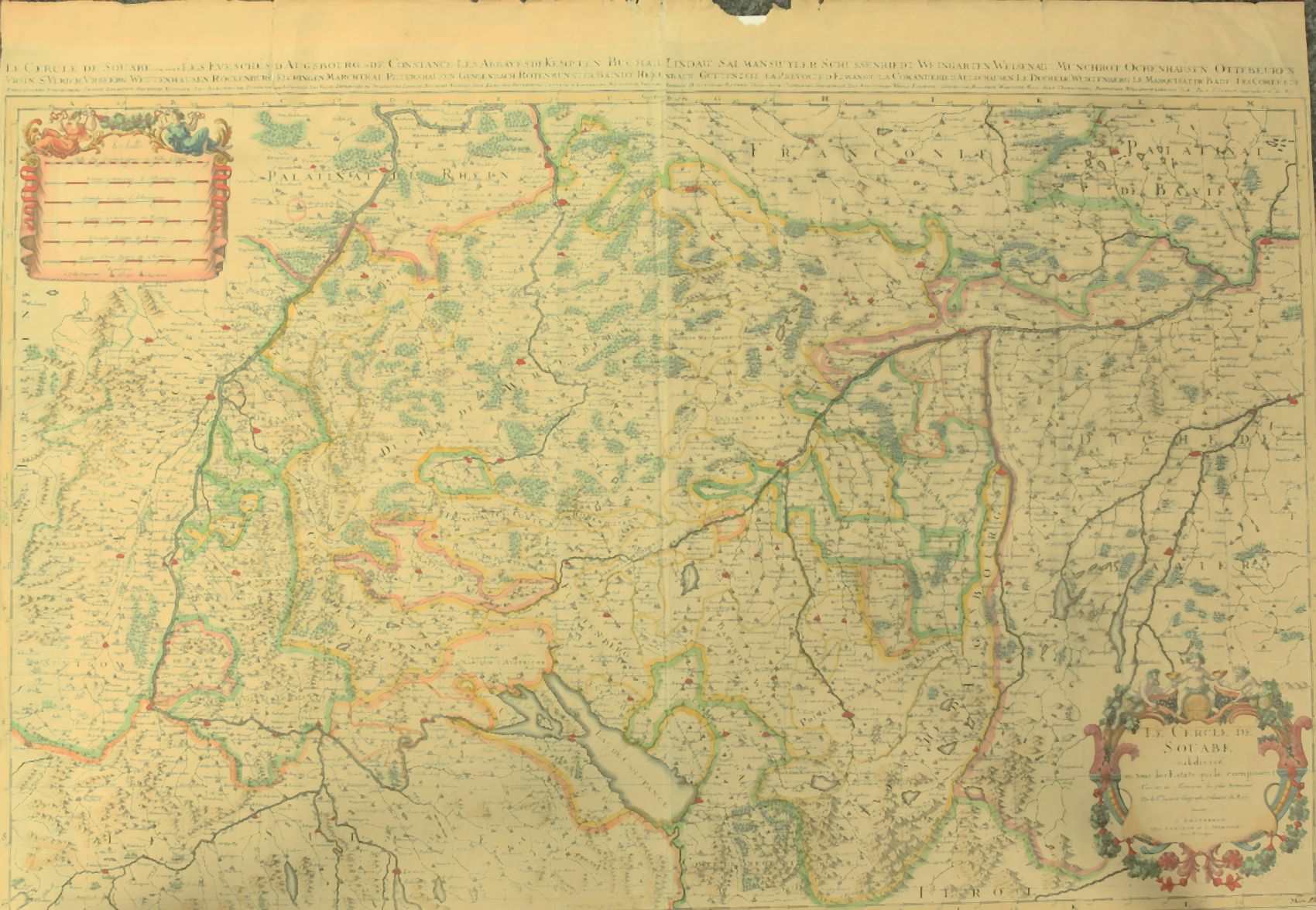
1730réf. 910097CGAmsterdam:, Covens u. Mortier, um 1730. Teilkolorierter Kupferstich, 54 x 87 cm, Blattgröße 61 x 87 cm.
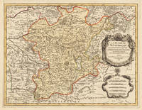
1696réf. 33637Paris 1696. Schönes tadelloses Exemplar. . 803 by 560mm 31 by 22 inches. Hand-Colored Original Copperplate Engraving by Alexis-Hubert Jaillot & N. Sanson depicting Le Duché De Westphalie ainsi qu`il est presentement possedé par L`Eslecteur De Cologne. Tiré des Memoires les pl. recents Par le Sr. Sanson Geographe Ordinaire du Roy A Paris. Published Paris 1696. Sheet: 803 by 560mm 31 by 22 inches. A fine and original hand-colored example of Jaillot's celebrated cartographic work documenting this region of Germany with the precision and decorative artistry characteristic of the 16900s. Alexis-Hubert Jaillot c.1632-1712 was one of the foremost French cartographers of the late 17th and early 18th centuries. Working in Paris he produced magnificent large-format maps of European territories often in collaboration with Nicolas Sanson -- considered the father of French cartography. Jaillot's maps are known for their striking decorative cartouches generous size and fine hand coloring representing the pinnacle of French Baroque cartography.This original copperplate engraving with original hand coloring depicts the region of Le Duché De Westphalie ainsi qu`il est presentement possedé par L`Eslecteur De Cologne. Tiré des Memoires les pl. recents Par le Sr. Sanson Geographe Ordinaire du Roy A Paris. published in Paris 1696. The map records the political and geographic boundaries of the region as understood in 1696 offering a fascinating window into the history of German territorial organization. Sheet measures 803 by 560mm 31 by 22 inches. In good condition consistent with its age of over 320 years. Ready to frame. unknown
1692réf. 55111692 Utrecht, François Halma, 1692 (suivant la copie à Paris, chez l'Auteur), 222pp. + tables. 10x16cm. Reliure en plein veau. Dos à 5 nerfs, richement orné et portant le titre en lettres dorées. Illustré d'un beau frontispice gravé. Marques de cire (cachet rouge ?) sur les gardes sinon bon exemplaire, envoi de photographies sur demande.
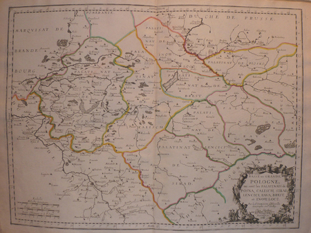
réf. 118542aaf1648, 44x56 cm, carte géographique gravée sur cuivre, légèrement coloriée aux frontières (vert claire et jaune), 1 feuille pliée en 2.
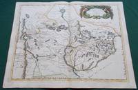
1668réf. 014632Paris: Cartes Generales de Toutes les Parties du Monde. 1668. Hand coloured. Map measures 55x40.cm plus margin. Some light surface wear or dust marking. Map in good condition. Boldly engraved map of the region of present day Paraguay Uruguay northern Argentina and parts of Chile and Brazil. The Rio de la Plata is the main feature of the map which extends north to the mythical Lago de los Xarayes. The mountains and volcanoes of the Cordillera de los Andes are also prominently shown. There is good detail of topography missions and villages. The decorative title cartouche is adorned with two female figures fruit and flowers. Very Good. Cartes Generales de Toutes les Parties du Monde.. unknown
1700réf. 54043Nicolas Bion: L'Usage des Globes. Amsterdam: Francois Halma. 1700. Map showing north-east South America from Trindad to the mouth of the Amazon - modern day Guyana and Surinam. Several large fictitious lakes make up much of the unexplored interior. Maps by Sanson in original colour are rare. Nicolas Sanson was founder of the French school of mapmakers at a time when the leadership in European cartography passed from the Low Countries to France. This map was published in Bion's treatise on globes. Nicolas Bion was a famous French mathematical and scientific instrument maker. Copper engraving. Very good condition. Small 1cm. very faint library stamp on border not affecting map. Original colour. Size: 27.5 x 20 cm. 11 x 8 inches. unknown
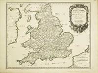
réf. 10525Paris: 1665. No binding. Very Good. 400 x 510 mm. superb early outline colour very good condition. A FIRST STATE example of an ornate map of England and Wales first published in Nicolas Sanson's 'Les Cartes Generales de Toutes les Parties du Monde' in 1665. Sanson 1600-67 was France's premier cartographer and helped to lift the field onto another level during his career. In 1665 two folio maps were issued one of the British Isles and this of England and Wales. The map outlines the modern counties along with the traditional Anglo-Saxon heptarchy which are here outlined in colour. With an attractive cartouche upper right. The cartography is derived from that of John Speed Willem Blaeu and Johannes Jansson. This is an example of the first state dated 1665 according to Shirley however since then two further states dated similarly have been identified. This example remains the first state. Provenance Doreen Green 2003. Pastoureau M. Sanson V B 117; Shirley R.W. Sanson 3.1. 1665 unknown
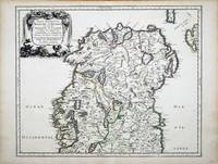
réf. 6991Paris: 1665. No binding. Very Good. 400 x 490 mm. in fine early outline colour in very good condition. This map of northern Ireland was published in Paris by Pierre Mariette. It was first introduced in to a later edition of Nicolas Sanson's ""Les Cartes Generales"" in 1665. Nicolas Sanson was to bring about the rise of French cartography although the fierce competition of the Dutch would last until the end of the century. This shift in cartographic centres shadowed the relative fortunes of the two countries; France under Louis XIV was a growing power in Europe. Born in Abbeville in the Picardy region of France 1600 Sanson studied history and turned to cartography as a means of recording it. In 1630 he was made Géographe Ordinaire du Roi and was to become one of the tutors to Louis XIV. However his future success was partly owing to the partnership he made with the publisher Pierre Mariette. In 1644 the latter had purchased the business of Melchoir Tavernier and helped Sanson with financial support in producing the maps for the planned atlas. His atlas is the first full world atlas to be produced in France. This work had been in development for several years as the dates on the various maps attest. A fine example of the first state. Bonar-Law 1997 no. 11 st. 1; Pastoureau 1984 Sanson Vb no. 124. 1665 unknown
1690réf. M9477Paris c.1690. Very Good. Notes: A charming map of Athens Greece during the late 17th century. Size : 103x154 mm 4.06x6.06 Inches Coloring: Hand Colored Category: Maps City Maps; Maps Europe Greece Macedonia; unknown