N Sanson; Hubert JaillotBiblio.com
989 resultados
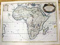
1700ref. M11022Paris c.1700. Very Good. Notes: French map of Africa as a continent. Size : 462x645 mm 18.19x25.39 Inches Coloring: Hand Colored Category: Maps Africa Continent; unknown
1710ref. 902221AGAmsterdam:, Pierre Mortier, [um 1710]. Altkolorierter Kupferstich 42,5 x 56,5 cm, Blattgröße 49 x 63 cm.
ref. 8636Paris: 1658-65. No binding. Very Good. 550 x 435 mm. early outline colour in good condition. This map of the Piedmont region of Italy was published in Paris by Pierre Mariette. It centres on Turin and extends from Antibe on the French coast to Savona. Nicolas Sanson's 'Les Cartes Generales' was first published in 1658. This map was introduced in 1665 this example is a later state with the imprint altered to 'Chez l'Autheur'. Sanson was France's premier cartographer and helped to lift French work in this area to another level. His atlas is the first full world atlas to be produced in France. This work had been in development for several years as the dates on the various maps attest. Pastoureau Sanson Vb no. 147. 1658-[65] unknown
ref. 6460Paris: 1658. No binding. Very Good. 370 x 435 mm. in fine early outline colour good condition. An attractive map of the whole of Wales first published in Nicolas Sanson's 'Les Cartes Generales de Toutes les Parties du Monde' in 1658. Sanson was France's premier cartographer and helped to lift the field onto another level during his career. With an attractive title cartouche lower left in a nice dark impression. The cartography is derived from that of John Speed and includes the neighbouring English counties including Herefordshire Shropshire Worcestershire Cheshire parts of Gloucestershire and Staffordshire. To the west the proximity of the Irish coast is depicted. Not in Booth; Pastoureau M. Sanson V 27; Roberts Iolo & Menai 'Printed Maps of the whole of Wales 1573-1837' Part 1 in 'The Map Collector' no. 68 pp. 34-9; Shirley 2004 T.San 2a no. 13. 1658 unknown
ref. 10634Paris: 1658. No binding. Very Good. 370 x 435 mm. in fine early outline colour good condition. An attractive map of the whole of Wales first published in Nicolas Sanson's 'Les Cartes Generales de Toutes les Parties du Monde' in 1658. Sanson was France's premier cartographer and helped to lift the field onto another level during his career. With an attractive title cartouche lower left in a nice dark impression. The cartography is derived from that of John Speed and includes the neighbouring English counties including Herefordshire Shropshire Worcestershire Cheshire parts of Gloucestershire and Staffordshire. To the west the proximity of the Irish coast is depicted. Provenance: Doreen Green 1996; private collection. Not in Booth 1977; Pastoureau 1980 Sanson V 27; Roberts 1994 14; Shirley 2004 T.San 2a no. 13. 1658 unknown
1651ref. R320074492A COMPTE D'AUTEUR. 1651. In-Folio. Broché. Etat d'usage, Couv. défraîchie, Dos satisfaisant, Intérieur frais. 43 pages - Quelques taches jaunatres en fin de volume (en tranches - gouttiere) sans conséquence sur la lecture - + 1 planche depliante. Bandeau et lettrine en tete de chapitre. Renfort en 1er plat et dos. Bandaux; lettrines et culs de lampe. 4 PHOTOS DISPONIBLES -. . . . Classification Dewey : 94.2-Livres anciens XVII ème
1828ref. 96556Paris, J.-B. Baillière, 1828, in-8, 5 vol, Demi-veau prune de l'époque, dos lisses ornés de fleurons et de roulettes, tranches marbrées, Deuxième édition de cet ouvrage qui fut l'un des premiers succès de la maison Baillière. D'abord disciple de Broussais, Louis-Charles Roche (1790-1875) fut l'un des premiers à revenir à la "médecine hippocratique" et joua un rôle pondérateur dans la querelle qui eut lieu entre Broussais et Laennec. Toute la partie médicale de cet ouvrage est de lui. Louis-Joseph Sanson (1790-1841) fut nommé en 1836 professeur de clinique chirurgicale en remplacement de Dupuytren dont il fut l'élève. Les Nouveaux éléments, dont il a rédigé toute la partie chirurgicale, est son principal ouvrage. Il est réputé pour son procédé de lithotomie recto-vésicale, décrit et publié par son maître en 1836. Bon exemplaire, malgré quelques frottements sur les couffes et coupes. Rousseurs claires. Couverture rigide
1683ref. LBW-6971683 182 x 276 mm.
1700ref. LBW-8050Amsterdam, Pierre Schenk, [circa 1700]. 487 x 577 mm.
ref. #[63428]Map of North Holland with Tessel island. Large cartouche on the left with title dedication and explanation concerning the scales adopted for this map. The title is printed from a different plate. Titled: 'PARTIE SEPTENTIONALE DU COMTÉ DE / HOLLANDE. / Dressée sur les Memoires les plus Nouveaux. / Par le S.r SANSON Geographe ordinaire du Roy.' // 'Presenté A MONSEIGNEUR LE DAUPHIN / Par son tres-humple tres-Obeissant et tres fidele Serviteur / Alexis Hubert Iaillot.' On the bottom of the scales: 'A Paris chez H. Iallot joignant kes grands Augustins aux deux Globes. / Avec Privilege du Roy pour Vingt Ans. / 1699' last number '9'in pen and brown ink. In fact the original plate does not show the last number which was supposed to be added in a second moment. l Etching and engraving on paper trimmed to plate mark partially hand coloured; total: 431 x 564 mm; pasted on thick paper some losses of paper some stains corners with pinholes and further damages. Folding line in the middle top part of the folding damaged. unknown
ref. PR120639Map of the States of Savoy Piedmont and Nice. Titled above on the right: ""LES ESTATS DE SAVOYE PIEMONT et le COMTE de NICE Par le Sr: Sanson Geog Ordinaire du Roy.'With address of the publisher on the bottom right: 'a Amsterdam chez Pierre Schenk avec Privilege de .'.On the bottom left the various scales. Hand colored etching and engraving on laid paper; plate mark: 577 x 485 mm total: 625 x 531 mm; besides some smudges along the margins and a folding crease at center in very good condition. unknown
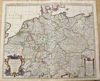
ref. 61441Paris Alexis Hubert Jaillot 1700. One sheet ink on paper. Copper engraving. Hand painted. Good condition. The map depicts the upper and lower Rhine region from Metz in the north to Lake Como in the south and Dijon in the west to Augsburg in the east. On the left hand side is the legend with miles to Italian French and German miles. In passepartout total size 650 x 750 mm. unknown
1690ref. M9577Paris c. 1690. Very Good. Notes: A charming map of Malvasia Greece during the late 17th century. Size : 103x152 mm 4.06x5.98 Inches Coloring: Hand Colored Category: Maps Europe Greece Macedonia; unknown
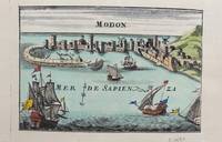
1690ref. M9578Paris c. 1690. Very Good. Notes: A charming map of Modon Greece during the late 17th century. Size : 104x152 mm 4.09x5.98 Inches Coloring: Hand Colored Category: Maps Europe Greece Macedonia; unknown
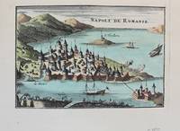
1690ref. M9576Paris c. 1690. Very Good. Notes: A charming map of Nafplio Greece during the late 17th century. Size : 104x152 mm 4.09x5.98 Inches Coloring: Hand Colored Category: Maps Europe Greece Macedonia; unknown
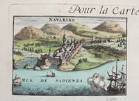
1690ref. M9579Paris c. 1690. Very Good. Notes: A charming map of Pylos Navarino Greece during the late 17th century. Size : 104x154 mm 4.09x6.06 Inches Coloring: Hand Colored Category: Maps Europe Greece Macedonia; unknown
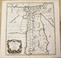
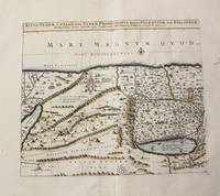
1696ref. M10206Amsterdam: Covens & Mortier c.1696. Very Good. Size : 485x450 mm 19.09x17.72 Inches Coloring: Hand Colored Category: Maps Africa North Egypt; Covens & Mortier unknown
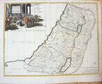
1710ref. M10273Paris: Jean Covens & Corneille Mortier c.1710. Very Good. Size : 397x460 mm 15.63x18.11 Inches Coloring: Hand Colored Category: Maps Asia Middle East Holy Land & Palestine; Jean Covens & Corneille Mortier unknown
1690ref. M7990Paris: H. Jaillot c.1690. Very Good with some minor discoloration. Notes: Map of North-Central France Size : 460x610 mm 18.11x24.02 Inches Coloring: Original Hand Coloring Category: Maps Europe France; H. Jaillot unknown
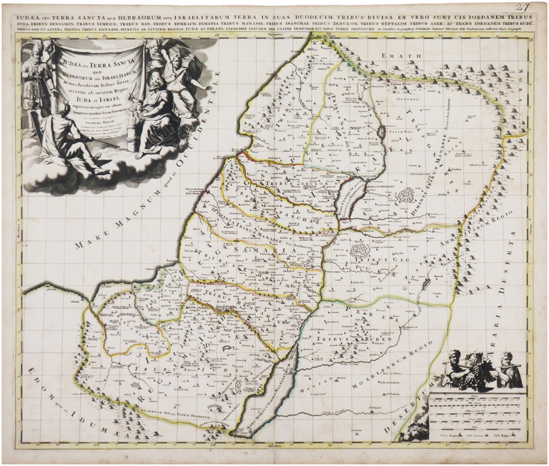
1660ref. M7049Paris 1660. Very Good;. Notes: French map of the Holy Land with a decorative cartouche. Nicolas Sanson 1600–1667 was a renowned French cartographer termed by some as the "father of French cartography." His works are known for their incorporation of the most up to date information of the time and their clean modern style. Size : 385x485 mm 15.16x19.09 Inches Coloring: Hand Colored Category: Maps Asia Middle East Holy Land & Palestine; unknown
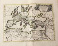
1710ref. M10325Amsterdam: Jean Covens & Corneille Mortier c.1710. Very Good. Size : 413x562 mm 16.26x22.13 Inches Coloring: Original Hand Coloring Category: Maps Europe Continent; Maps Africa North; Maps Mediterranean Sea; Jean Covens & Corneille Mortier unknown
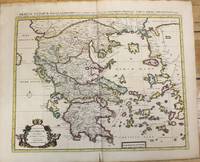
1710ref. M10235Amsterdam: Jean Covens & Corneille Mortier c.1710. Very Good. Size : 470x566 mm 18.50x22.28 Inches Coloring: Original Hand Coloring Category: Maps Europe Greece Macedonia; Jean Covens & Corneille Mortier unknown
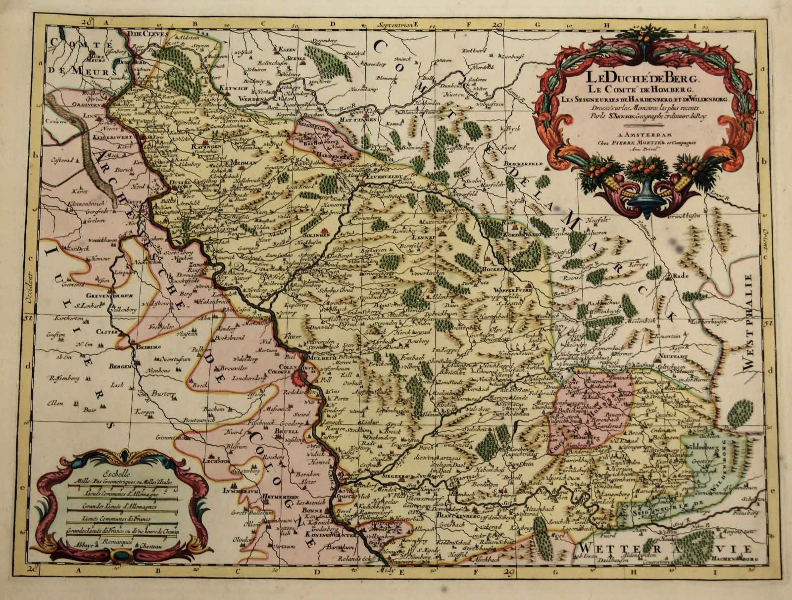
1696ref. M10211Amsterdam: Covens & Mortier c.1696. Very Good. Size : 510x605 mm 20.08x23.82 Inches Coloring: Original Outline Coloring Category: Maps Europe Germany; Covens & Mortier unknown
1742ref. 38209Amsterdam: Pierre Mortier 1742. A BEAUTIFUL HAND-COLORED MAP OF WESTERN LANGUEDOC and areas to the west and north. 60 x 45.5 cm plate 62 x 52 cm sheet. The areas described in the title are FULLY COLORED BY A CONTEMPORARY HAND. Printed on fine thick laid paper. Reverse blank. A fine impression. A PRISTINE EXAMPLE with the paper FINE AND BRIGHT. Very scarce in such fine condition. Pierre Mortier unknown