SANSON, NicolasBiblio.com
990 risultati
rif. 10525Paris: 1665. No binding. Very Good. 400 x 510 mm. superb early outline colour very good condition. A FIRST STATE example of an ornate map of England and Wales first published in Nicolas Sanson's 'Les Cartes Generales de Toutes les Parties du Monde' in 1665. Sanson 1600-67 was France's premier cartographer and helped to lift the field onto another level during his career. In 1665 two folio maps were issued one of the British Isles and this of England and Wales. The map outlines the modern counties along with the traditional Anglo-Saxon heptarchy which are here outlined in colour. With an attractive cartouche upper right. The cartography is derived from that of John Speed Willem Blaeu and Johannes Jansson. This is an example of the first state dated 1665 according to Shirley however since then two further states dated similarly have been identified. This example remains the first state. Provenance Doreen Green 2003. Pastoureau M. Sanson V B 117; Shirley R.W. Sanson 3.1. 1665 unknown
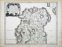
rif. 6991Paris: 1665. No binding. Very Good. 400 x 490 mm. in fine early outline colour in very good condition. This map of northern Ireland was published in Paris by Pierre Mariette. It was first introduced in to a later edition of Nicolas Sanson's ""Les Cartes Generales"" in 1665. Nicolas Sanson was to bring about the rise of French cartography although the fierce competition of the Dutch would last until the end of the century. This shift in cartographic centres shadowed the relative fortunes of the two countries; France under Louis XIV was a growing power in Europe. Born in Abbeville in the Picardy region of France 1600 Sanson studied history and turned to cartography as a means of recording it. In 1630 he was made Géographe Ordinaire du Roi and was to become one of the tutors to Louis XIV. However his future success was partly owing to the partnership he made with the publisher Pierre Mariette. In 1644 the latter had purchased the business of Melchoir Tavernier and helped Sanson with financial support in producing the maps for the planned atlas. His atlas is the first full world atlas to be produced in France. This work had been in development for several years as the dates on the various maps attest. A fine example of the first state. Bonar-Law 1997 no. 11 st. 1; Pastoureau 1984 Sanson Vb no. 124. 1665 unknown
1692rif. 55111692 Utrecht, François Halma, 1692 (suivant la copie à Paris, chez l'Auteur), 222pp. + tables. 10x16cm. Reliure en plein veau. Dos à 5 nerfs, richement orné et portant le titre en lettres dorées. Illustré d'un beau frontispice gravé. Marques de cire (cachet rouge ?) sur les gardes sinon bon exemplaire, envoi de photographies sur demande.
rif. 118542aaf1648, 44x56 cm, carte géographique gravée sur cuivre, légèrement coloriée aux frontières (vert claire et jaune), 1 feuille pliée en 2.
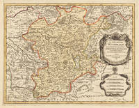
1696rif. 33637Paris 1696. Schönes tadelloses Exemplar. . 803 by 560mm 31 by 22 inches. Hand-Colored Original Copperplate Engraving by Alexis-Hubert Jaillot & N. Sanson depicting Le Duché De Westphalie ainsi qu`il est presentement possedé par L`Eslecteur De Cologne. Tiré des Memoires les pl. recents Par le Sr. Sanson Geographe Ordinaire du Roy A Paris. Published Paris 1696. Sheet: 803 by 560mm 31 by 22 inches. A fine and original hand-colored example of Jaillot's celebrated cartographic work documenting this region of Germany with the precision and decorative artistry characteristic of the 16900s. Alexis-Hubert Jaillot c.1632-1712 was one of the foremost French cartographers of the late 17th and early 18th centuries. Working in Paris he produced magnificent large-format maps of European territories often in collaboration with Nicolas Sanson -- considered the father of French cartography. Jaillot's maps are known for their striking decorative cartouches generous size and fine hand coloring representing the pinnacle of French Baroque cartography.This original copperplate engraving with original hand coloring depicts the region of Le Duché De Westphalie ainsi qu`il est presentement possedé par L`Eslecteur De Cologne. Tiré des Memoires les pl. recents Par le Sr. Sanson Geographe Ordinaire du Roy A Paris. published in Paris 1696. The map records the political and geographic boundaries of the region as understood in 1696 offering a fascinating window into the history of German territorial organization. Sheet measures 803 by 560mm 31 by 22 inches. In good condition consistent with its age of over 320 years. Ready to frame. unknown
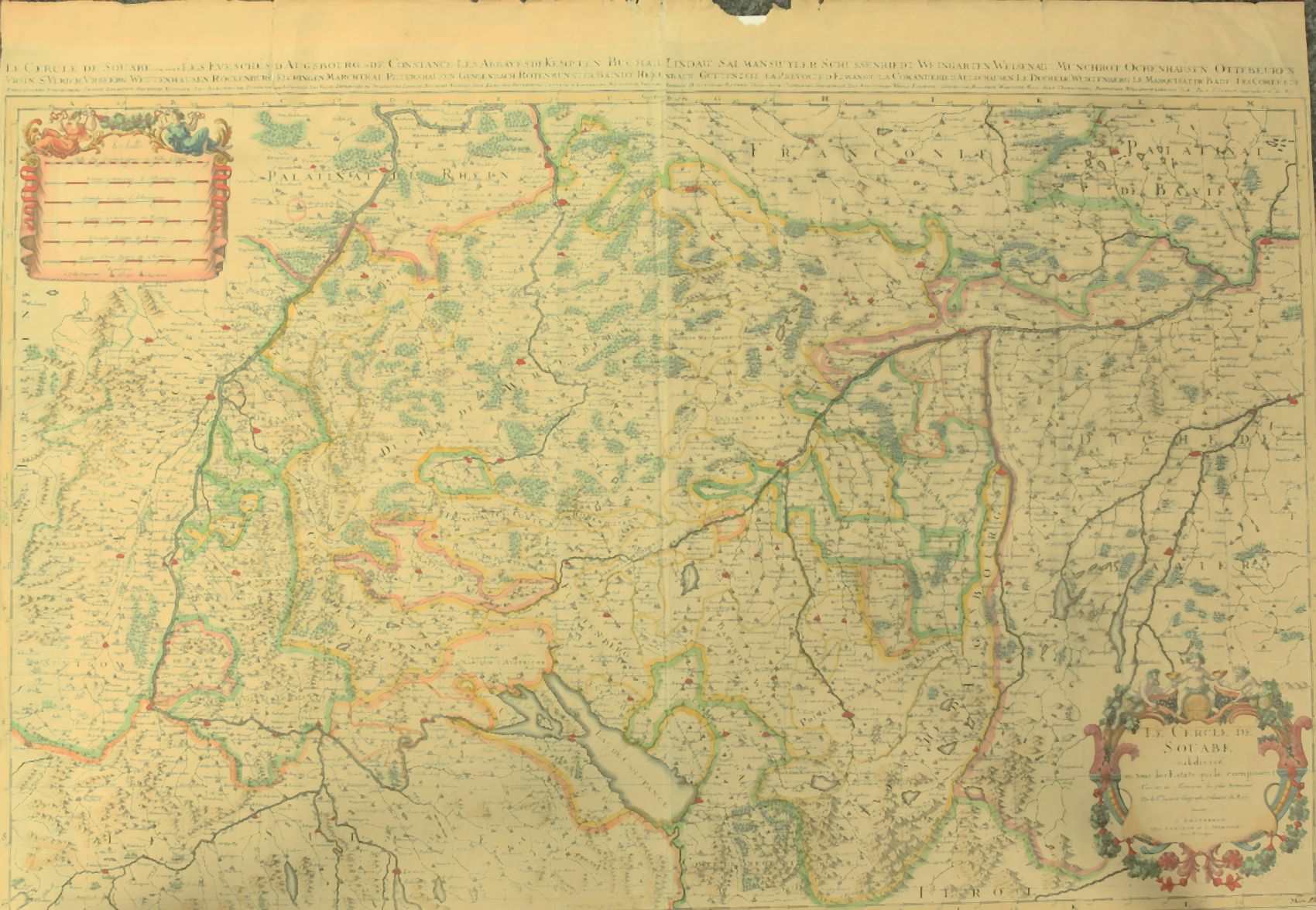
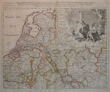
1730rif. 910097CGAmsterdam:, Covens u. Mortier, um 1730. Teilkolorierter Kupferstich, 54 x 87 cm, Blattgröße 61 x 87 cm.
1670rif. 9482Scarce map engraving outlined in original color from Sanson's Cartes Generales de Toutes les Parties du Monde. The image measures approximately 19.75 x 16.5 in 50 x 42 cm; page measures 23.25 x 17.5 in 59 x 44.5 cm. Pierre Mariette
1723rif. 202384Amsterdam: Mortier Pieter II 1723. unbound. very good. Map. Engraving with hand coloring. Image measures 14.5" x 19.25". Includes parts of modern day Morocco Algeria Tunisia and Libya. Nicolas Sanson 1600-1667 is considered the founder of the French school of cartography. In reaction to the prevailing trend of Dutch lavishness Sanson favored minimal details focusing rather on accurate cartography than ornament. Large decorative title cartouche. Map is in good condition with ample margins. Staining along centerfold. Chipped near edges along centerfold. Mortier, Pieter II unknown
1723rif. 202384Amsterdam: Mortier Pieter II 1723. unbound. very good. Map. Engraving with hand coloring. Image measures 14.5" x 19.25". Includes parts of modern day Morocco Algeria Tunisia and Libya. Nicolas Sanson 1600-1667 is considered the founder of the French school of cartography. In reaction to the prevailing trend of Dutch lavishness Sanson favored minimal details focusing rather on accurate cartography than ornament. Large decorative title cartouche. Map is in good condition with ample margins. Staining along centerfold. Chipped near edges along centerfold. Mortier, Pieter II unknown books
1692rif. 33439Paris: H. Jaillot 1692. In ausgezeichnetem Zustand. . 570 by 850mm 22 by 33 inches. Hand-Colored Original Copperplate Engraving by Charles Hubert Alexis Jaillot & Nicolaus Sanson depicting Le Cercle de Franconie subdivise entous les Estats qui le composent. Dressè sur les Memotres les plus Nouveaux Parle Sr. Sanson Geographe Ordinaire du Roy. A Paris Chez H. Iaillot joignant les grands Augustins aux dewe Globes. Avec Privilege du Roypour Vingt Ans. 1692. Published Paris H. Jaillot 1692. Sheet: 570 by 850mm 22 by 33 inches. A fine and original hand-colored example of Jaillot's celebrated cartographic work documenting this region of Germany with the precision and decorative artistry characteristic of the 16900s. Alexis-Hubert Jaillot c.1632-1712 was one of the foremost French cartographers of the late 17th and early 18th centuries. Working in Paris he produced magnificent large-format maps of European territories often in collaboration with Nicolas Sanson -- considered the father of French cartography. Jaillot's maps are known for their striking decorative cartouches generous size and fine hand coloring representing the pinnacle of French Baroque cartography.This original copperplate engraving with original hand coloring depicts the region of Le Cercle de Franconie subdivise entous les Estats qui le composent. Dressè sur les Memotres les plus Nouveaux Parle Sr. Sanson Geographe Ordinaire du Roy. A Paris Chez H. Iaillot joignant les grands Augustins aux dewe Globes. Avec Privilege du Roypour Vingt Ans. 1692. published in Paris H. Jaillot 1692. The map features a decorative Baroque cartouche containing the title inscription. A distance scale is incorporated within the cartouche or alongside it. The map records the political and geographic boundaries of the region as understood in 1692 offering a fascinating window into the history of German territorial organization. Sheet measures 570 by 850mm 22 by 33 inches. In good condition overall with minor signs of age appropriate for a 17th-century engraving. Ready to frame. H. Jaillot unknown
1717rif. LBW-2261Paris, H. Jaillot, 1717. 450 x 645 mm.
1712rif. 82342Parisiis, Delineabat Petrus Moullart-Sanson , 1712, 55x75cm, Carte colorisée. Pliure centrale. Bon état.
1679rif. LBW-7225Paris, chez l'auteur, 1679. 397 x 484 mm.
1658rif. LBW-5169Paris, Pierre Mariette, 1650 [1658]. 369 x 501 mm.
1658rif. LBW-3423Paris, chez l'auteur, 1658. 403 x 573 mm.
1661rif. LBW-3670Paris, P. Mariette, 1661. 418 x 521 mm.
1661rif. LBW-3671Paris, P. Mariette, 1661. 297 x 424 mm.
1670rif. LBW-7226Paris, P. Mariette, 1670. 367 x 423 mm.
1700rif. LBW-5388[1700]. 204 x 301 mm.
rif. LBW0416fAmsterdam, Pierre Schenk, [circa 1700]. 472 x 575 mm.
1658rif. LBW-51971652 [1658]. 313 x 457 mm.
1656rif. LBW-6504Paris, Pierre Mariette, 1656. 402 x 545 mm.
1676rif. LBW-7221Paris, Pierre Mariette, 1676. 327 x 475 mm.
1700rif. LBW-5427[1700]. 202 x 266 mm.
1660rif. LBW-5437[circa 1660]. 195 x 247 mm.