987 risultati
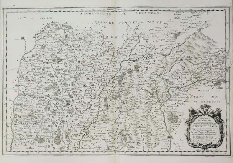
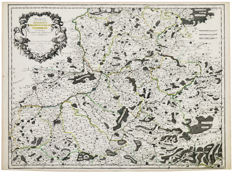
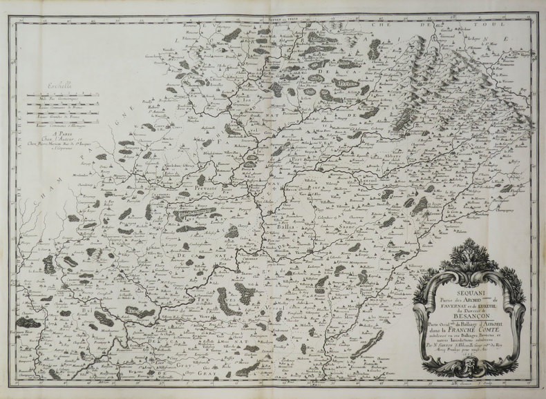
1651rif. 284611651 une carte ancienne gravée sur cuivre (Copper etching) en noir . Format : 44 x 58 cm, par Nicolas SANSON carthographe, 1651 [s.n.] Editeur,
rif. 1916-25Paris H. Jaillot 1692. Alt grenzkolorierte Kupferstichkarte von 2 Platten. 64 5 x 99 cm Blattgr. Breitrandiges Exemplar. Äußere Ränder etwas gebräunt kleiner Randeiniß sonst gut erhalten. Großformatige Karte von Guillaume Sanson 1633-1703 die das Gebiet von Deggendorf bis Wagram und von Kromeríz/Kremsier bis Veszprém/Weissbrünn mit dem Neusiedler See Newsidler See zeigt. Aus dem Verlag von Alexis-Hubert Jaillot um 1632-1712 der eng mit Sanson zusammenarbeitete. Paris, H. Jaillot 1692. unknown
1865rif. 551091 vol. in-12 br., Henri Plon, Paris, 1865, 482 pp.
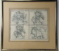
1772rif. 67785Printed in Switzerland: Chez les Sociétés Typographiques 1772. First edition first state. Framed engraved map. Very Good. Framed. Local pick up or will ship without frame for mailing 30 x 38 cm. Hand coloured in blue. A set of four maps showing the Northwest Passage and demonstrating changes in cartological knowledge over time. Originally created by Didier Robert de Vaugondy using the maps of three other cartographers for the supplement to Diderot's Encyclopédie. A clean impression with noticable fold lines. Very light age toning. French text. Chez les Sociétés Typographiques unknown
rif. 18-1027Paris: 17th Century European Publisher 1648. 22 x 16 inches. Very Good. 17th Century hand colored map of Lower Lombardy. Some toning and two one-inch tears at bottom edge. Text in French. Scarce.Nicholas Sanson 1600-1667 is considered the father of French cartography in its golden age from the mid-seventeenth century to the mid-eighteenth. Over the course of his career he produced over 300 maps. His success can be chalked up to his geographic and research skills but also to his partnership with Pierre Mariette. Previously Sanson had worked primarily with the publisher Melchior Tavernier. Mariette purchased Tavernier’s business in 1644. Sanson worked with Mariette until 1657 when the latter died. Mariette’s son also Pierre helped to publish the Cartes générales de toutes les parties du monde. [Paris]: 17th Century European Publisher, [1648]. unknown
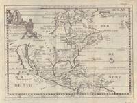
1700rif. 5097Sanson being d'Abbeville Geograph du Roy. Map covers North America with a small amount of South America included. Has California as an island. 9 3/4 x 7 1/2 inches. Chez Paul Marret
1950rif. 158225Rome: Unitalia Film / IFE 1950. Collection of 14 vintage oversize promotional brochures for Italian and international actresses. Each brochure features a one-page biography in Italian and a full-page black-and-white photograph of each actress. Actresses represented are Sylvana Mangano Isa Miranda Annamaria Gerrero Yvonne Sanson Alida Valli Delia Scala Ingrid Bergman Silvana Pampanini Lea Padovani Lucia Bose Eleanora Rossi Gina Lollobrigida Carla Del Poggio and Anna Magnani. 11 x 14.25 inches folded once vertically as issued with a company statement on the verso. Very Good plus overall some with light toning and foxing and a few with short tears. Unitalia Film / IFE unknown
1950rif. 158225Rome: Unitalia Film / IFE 1950. Collection of 14 vintage oversize promotional brochures for Italian and international actresses. Each brochure features a one-page biography in Italian and a full-page black-and-white photograph of each actress. Actresses represented are Sylvana Mangano Isa Miranda Annamaria Gerrero Yvonne Sanson Alida Valli Delia Scala Ingrid Bergman Silvana Pampanini Lea Padovani Lucia Bose Eleanora Rossi Gina Lollobrigida Carla Del Poggio and Anna Magnani. 11 x 14.25 inches folded once vertically as issued with a company statement on the verso. Very Good plus overall some with light toning and foxing and a few with short tears. Unitalia Film / IFE unknown books
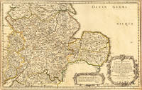
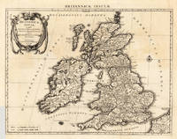
1654rif. 17463Paris: N. Sanson 1654. Other. In very good condition. 365 by 580mm 14¼ by 22¾ inches. 365 by 580mm 14¼ by 22¾ inches. Copper-engraving handcolored in outline when published. Fine and strong impression of this early decorative mid-seventeenth century map of this English regional map covering the area Chester Darbing Nottingham. by the famous French cartographer Nicolaus Sanson. Very detailled and naming many cities and villages as well many places along the coastline. Showing prominently the eastern part of central England. In the lower right corner with a large floral title cartouche and milage scale. N. Sanson unknown
rif. 126769aafParis, Nicolas Sanson, 1667, 35x53 cm., Kupferdrukkarte schwarz / carte gravés sur cuivre, 1 feuille, montée sur toile. 45x62 cm.
1830rif. 35931830 Paris: chez les principaux libraires, 1830. In-8: 13.5 x 21 cm, ii-379 pp. Reliure de l'époque en demi-basane. Dos lisse orné de bandes dorées. Titre sur pièce de couleur verte. Bas du mors supérieur légèrement fendu et quelques rares rousseurs pâles sans gravité, sinon ouvrage solide et en très bon état. Une curiosité.
1893rif. 70475Paris: Librairie Agricole De La Maison Rustique 1893. Quarter-leather. G/No Jacket as issued. 5 volumes published 1893-1901. Library markings; marbled boards; covers edge-rubbed with wear at corners; small scuff on front cover of volume 1; 401 386 366 376 350p illus indexes. NB: This is a heavy set which may incur a non-standard postage charge. Size: 12mo - over 6¾" - 7¾" tall Librairie Agricole De La Maison Rustique hardcover
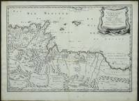
rif. 3952Paris: 1655. No binding. Very Good. 370 x 530 mm. in early outline colour in very good condition. Engraved by Joannes Somer and published in Paris by Pierre Mariette this attractive map of central north Africa bears an ornate title cartouche top right. It is centred on Tunisia and Libya and includes the island of Malta in the Mediterranean. It comes from Sanson's 'Cartes Generales de Toutes les Parties du Monde'. Pastoureau Sanson V A no. 16. 1655 unknown
1700rif. 54377Nicolas Bion: L'Usage des Globes. Amsterdam: Francois Halma. 1700. An armillary sphere perused by three scholars at a table. Nicolas Sanson was founder of the French school of mapmakers at a time when the leadership in European cartography passed from the Low Countries to France. This map was published in Bion's treatise on globes. Nicolas Bion was a famous French mathematical and scientific instrument maker. Size: 125 x 175 mm. Copper engraving. Original colour. Mounted size: 295 x 360 mm. Fine condition. unknown
1689rif. 52354Paris. 1689. The map covers the area from the Moselle in NW to Worms in SE. ornamental cartouche at lower left. Copper engraving. Good condition though map is slightly discolured and stained. Original colour. Size: 56 x 43 cm. unknown
1696rif. 23767Amsterdam: Covens 1696 -1700. Other. In very good to excellent condition. A small tear at the left side. 392 by 517mm 15½ by 20¼ inches. 392 by 517mm 15½ by 20¼ inches. Copper engraving uncolored as published. Covens unknown
rif. 14357382-nnew. unknown
rif. 41445142like new. unknown
1888rif. 34050Lib. agricole de la raison rustique | Paris 1888-1893 | 11.50 x 18.50 cm | 5 volumes reliés
1996rif. 73801996 Mémoire de Maitrise d'histoire année universitaire 1996-1997 Université Paris IV la sorbonne IN4 broché 267 pages très nombreuses illustrations
rif. 14036India & South East Asia, Paris, 1654 -1679, copperplate, Original o/l colour. 52.5 x 38cms [21 x 15ins] A good map of peninsula India, Ceylon and Southeast Asia including Sumatra and present-day Singapore from Nicolas Sanson's "Cartes Generales ...". Sanson was the major French mapmaker of the period and produced a number of important maps from information supplied by travellers and missionaries. This map marks an advance on those being produced in Amsterdam based on details from the 1620s and 30s.
1660rif. LBW-3667Paris, P. Mariette, 1660. 354 x 555 mm.
1656rif. LBW-5321Paris, chez l'auteur, 1656. 420 x 552 mm.
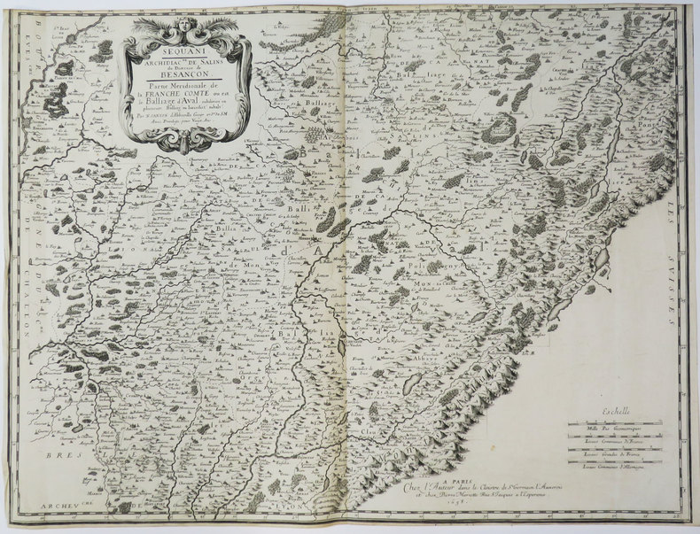
1658rif. LBW-3419Paris, chez l'auteur, 1658. 397 x 560 mm.
1658rif. LBW-3648Paris, chez l'auteur, 1658. 427 x 565 mm.