N SansonBiblio.com
917 risultati
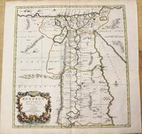
1696rif. M10206Amsterdam: Covens & Mortier c.1696. Very Good. Size : 485x450 mm 19.09x17.72 Inches Coloring: Hand Colored Category: Maps Africa North Egypt; Covens & Mortier unknown
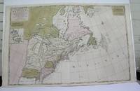
1698rif. M3704Paris 1698. Excellent. Notes: Rather rare original coloured version of this map an important 17th century map of the Great Lakes and East coast with an inset map of Boston. Cumming qtd in Arkway: "in spite of its scope and size it has a good deal of information for the Carolina Coast". This map by Sanson first appeared in Mortier's sea atlas "Le Neptune Francois"; interestingly it is not generally found in Sanson or Jaillot atlases. Size : 650x924 mm 25.625x36.375 Inches Coloring: Original Hand Coloring Reference: Arkway 58:23 Category: Maps Canada East; Maps United States New England unknown
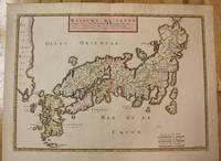
1656rif. M8114Paris c.1656. Very Good. Size : 375x521 mm 14.76x20.51 Inches Coloring: Original Hand Coloring Category: Maps Asia Far East Japan & Korea; unknown
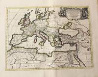
1710rif. M10321Amsterdam: Jean Covens & Corneille Mortier c.1710. Very Good. Size : 402x520 mm 15.83x20.47 Inches Coloring: Original Hand Coloring Category: Maps Mediterranean Sea; Maps Asia Middle East; Jean Covens & Corneille Mortier unknown
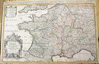
1690rif. M10380Paris: H. Jaillot c.1690. Very Good backed on acid free tissue paper for long term preservation. Notes: Large and detailed map of France with a large decorative cartouche in the lower left two sheets joined. Size : 565x896 mm 22.24x35.28 Inches Coloring: Original Outline Coloring Category: Maps Europe France; H. Jaillot unknown
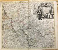
1700rif. M7994Paris c. 1700. Very Good. Notes: Engraved by Cordier. A map of Central Germany. Frankfurt appears at the south-center of the map. Size : 457x648 mm 17.99x25.51 Inches Coloring: Original Hand Coloring Category: Maps Europe Germany; unknown
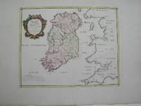
1778rif. M3768Paris 1778. Excellent. Size : 405x501 mm 15.875x19.75 Inches Coloring: Hand Colored Category: ; Maps Europe Ireland unknown
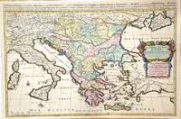
1720rif. M8856Amsterdam: Pierre Mortier 1720. Very Good. Notes: A fine large scale map of Mediterranean Sea Italy Greece Eastern Europe Turkey. The map depicts the Ottoman Empire in the mid to late seventeenth century. Size : 530x864 mm 20.87x34.02 Inches Coloring: Original Hand Coloring Category: Maps Europe Balkans; Maps Mediterranean Sea; Maps Europe Italy; Maps Europe Greece Macedonia; Maps Asia Near East Turkey; Pierre Mortier unknown
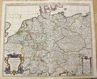
1696rif. M10211Amsterdam: Covens & Mortier c.1696. Very Good. Size : 510x605 mm 20.08x23.82 Inches Coloring: Original Outline Coloring Category: Maps Europe Germany; Covens & Mortier unknown
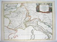
1667rif. M2849Paris 1667. Excellent. Size : 424x563 mm 16.625x22.125 Inches Coloring: Original Outline Coloring Category: ; Maps Europe France; Maps Europe Italy unknown
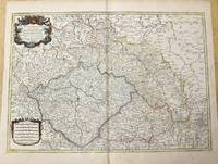
1785rif. M10271Paris c.1785. Very Good. Size : 470x658 mm 18.50x25.91 Inches Coloring: Original Outline Coloring Category: Maps Europe Czech Republic Slovakia; Maps Europe Germany; unknown
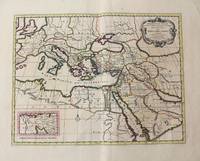
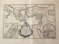
1710rif. M10319Amsterdam: Jean Covens & Corneille Mortier c.1710. Very Good. Notes: With 2 inset maps showing the Holy Land and Hierusalem. Size : 375x550 mm 14.76x21.65 Inches Coloring: Original Hand Coloring Category: Maps Asia Near East Turkey; Maps Asia Middle East Holy Land & Palestine; Maps Mediterranean Sea; Jean Covens & Corneille Mortier unknown
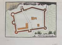
1690rif. M9479Paris c.1690. Very Good. Notes: Map of Chielafa Greece during the late 17th century. Size : 105x152 mm 4.13x5.98 Inches Coloring: Hand Colored Category: Maps Europe Greece Macedonia; unknown
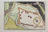
1690rif. M9481Paris c.1690. Very Good. Notes: Map of Passava Greece during the late 17th century. Size : 104x153 mm 4.09x6.02 Inches Coloring: Hand Colored Category: Maps Europe Greece Macedonia; unknown
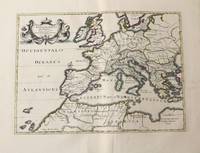
1710rif. M10326Amsterdam: Jean Covens & Corneille Mortier c.1710. Very Good. Size : 375x525 mm 14.76x20.67 Inches Coloring: Original Hand Coloring Category: Maps Africa North; Maps Europe Continent; Maps Mediterranean Sea; Jean Covens & Corneille Mortier unknown
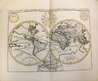
1696rif. M10191Amsterdam: Covens & Mortier c.1696. Very Good. Size : 393x540 mm 15.47x21.26 Inches Coloring: Original Hand Coloring Category: Maps World; Covens & Mortier unknown
1700rif. M7991Paris: S. Jallot c. 1700. Very Good. Notes: Map of Northern Germany Size : 650x460 mm 25.59x18.11 Inches Coloring: Original Hand Coloring Category: Maps Europe Germany; S. Jallot unknown
1710rif. M10325Amsterdam: Jean Covens & Corneille Mortier c.1710. Very Good. Size : 413x562 mm 16.26x22.13 Inches Coloring: Original Hand Coloring Category: Maps Europe Continent; Maps Africa North; Maps Mediterranean Sea; Jean Covens & Corneille Mortier unknown
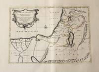
1710rif. M10330Amsterdam: Jean Covens & Corneille Mortier c.1710. Very Good. Size : 368x495 mm 14.49x19.49 Inches Coloring: Original Outline Coloring Category: Maps Asia Middle East Holy Land & Palestine; Maps Africa North; Maps Africa North Egypt; Jean Covens & Corneille Mortier unknown
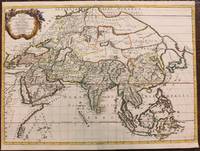
1667rif. M8921Paris: Pierre Mariette 1667. Very Good. Notes: An important map of Asia by Nicolas Sanson showing the boundaries of the major historic civilizations of this continent. Examples include Assyria Syria Asia Minor Armenia Arabia Felix Libya Sarmatia Thracia Graecia Persia India China Ethiopia Scythia and Gangem. Sanson 1600–1667 was a French cartographer termed by some as the "father of French cartography." His works are known for their incorporation of the most up to date information of the time and their clean modern style. Size : 402x470 mm 15.83x18.50 Inches Coloring: Original Hand Coloring Category: Maps Asia Continent; Pierre Mariette unknown
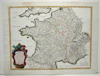
1665rif. M1736Paris: Mariette Pierre 1665. Excellent; some light browning on upper margin. Size : 410x535 mm 16.125x21 Inches Coloring: Original Hand Coloring Category: ; Maps Europe France Mariette, Pierre unknown
1708rif. M10193Amsterdam: Pierre Mortier c.1708. Very Good. Notes: "Theatre de la Guerre" Theater of War maps covering the battles raging in Europe and the Americas during the Spanish War of Succession 1701-1713 and the Northern War 1700-1721. The atlas maps are large folio size with most maps made of two sheets and many maps combining 4 or 6 sheets those also issued as wall maps separately. The atlas is most impressive for its large size and number of maps as well as being up to date for its time. Size : 517x585 mm 20.35x23.03 Inches Coloring: Original Outline Coloring Category: Maps Europe Germany; Pierre Mortier unknown
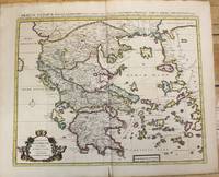
1710rif. M10235Amsterdam: Jean Covens & Corneille Mortier c.1710. Very Good. Size : 470x566 mm 18.50x22.28 Inches Coloring: Original Hand Coloring Category: Maps Europe Greece Macedonia; Jean Covens & Corneille Mortier unknown
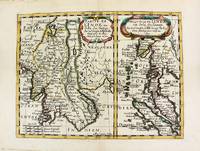
1652rif. M8177Paris. 1652. Very Good. Notes: Fine 17th century map of Thailand Burma and Malaysia. Size : 191x249 mm 7.50x9.80 Inches Coloring: Original Hand Coloring Category: Maps Asia South East Thailand Laos Vietnam Cambodia & Burma / Myanmar; Maps Asia South East Malaysia & Singapore; unknown
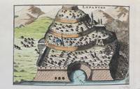
1690rif. M9478Paris c.1690. Very Good. Notes: A charming map of Lepanto Greece during the late 17th century. Size : 105x153 mm 4.13x6.02 Inches Coloring: Hand Colored Category: Maps Europe Greece Macedonia; unknown