Sanson; FortinBiblio.com
917 Ergebnisse
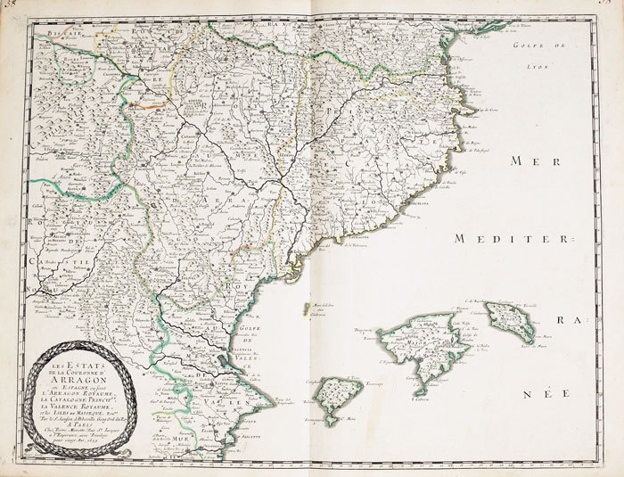
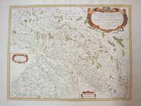
1778Best.-Nr. M4133Paris: Fortin 1778. Very Good. Notes: Map showing Bohemia Silesia Moravia and Lusatia. Size : 420x545 mm 16.5x21.5 Inches Coloring: Hand Colored Category: Maps Europe Poland Lithuania Fortin unknown
Best.-Nr. 0428634230.Ghardcover. Good. Access codes and supplements are not guaranteed with used items. May be an ex-library book. hardcover
Best.-Nr. 0282047352.Gpaperback. Good. Access codes and supplements are not guaranteed with used items. May be an ex-library book. paperback
Best.-Nr. ria9782343199894_inpPaperback. New. New Book; Fast Shipping from UK; Not signed; Not First Edition; Véritable making of baigné de la folie permanente des tournages Quelques années de lumière offre le point de vue rare d'un personnage clé du plateau le chef électricien. Avec enthousiasme et toujours à juste distance Philippe Sanson paperback
Best.-Nr. 2343199892.Gpaperback. Good. Access codes and supplements are not guaranteed with used items. May be an ex-library book. paperback
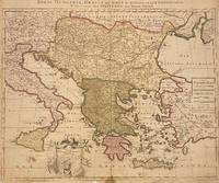
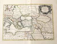
1705Best.-Nr. 311838Amsterdam: Petrus Schenk 1705. unbound. Map. Engraving with original hand outline. Image measures 18 7/8" x 22 3/4" Beautiful map of southeastern Europe extending from Italy to Turkey and from Hungary to Cyprus. Published circa 1705 this map depicts the region during the Ottoman-Habsburg wars. In fair condition. Wear to original centerfold with tape repair and stain at bottom edge. Lower margin worn and frayed not affecting the image. Minor cracking and small loss near center due to oxidization of original viridian green coloring. Some foxing. Publisher's crease to upper right corner. Sold as-is. Petrus Schenk c.1660--1711 was a German engraver and cartographer. He began his training in Amsterdam in the art of mezzotint and soon began working closely with Gerard Valck. The two took advantage of the bustling cartographic trade in the city and quickly expanded their business from portraits and prints into maps and globes. In 1700 Schenk grew the business further by moving to Leipzig Germany and opening a shop. As his sons and grandson returned to the Netherlands to become active engravers as well the Schenk firm developed into one of the best-known publishing houses in 18th-century Amsterdam. This map attests to Schenk's prolific production and skill in both cartographic artistry and business. Petrus Schenk unknown books
1720Best.-Nr. LBW-464Amsterdam, J. Covens et C. Mortier, [circa 1720]. 400 x 501 mm.
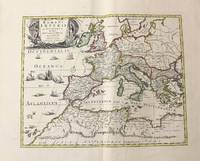
1710Best.-Nr. M10331Amsterdam: Jean Covens & Corneille Mortier c.1710. Very Good. Size : 410x508 mm 16.14x20.00 Inches Coloring: Original Outline Coloring Category: Maps Africa North; Maps Europe Continent; Maps Mediterranean Sea; Jean Covens & Corneille Mortier unknown
1710Best.-Nr. M10332Amsterdam: Jean Covens & Corneille Mortier c.1710. Very Good. Size : 403x555 mm 15.87x21.85 Inches Coloring: Original Outline Coloring Category: Maps Mediterranean Sea; Maps Asia Middle East; Jean Covens & Corneille Mortier unknown
1663Best.-Nr. LBW-9481663 417 x 378 mm.
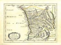
1656Best.-Nr. 78503Uten sted. Paris 1656. Tverr4to. Arkets størrelse : 335 cm X 245 cm. Med samtidig grensekolorering. Fransk. Nicolas Sanson 1600-1667 blir regnet for å være grunnleggeren av fransk kartografi. Kommer fra atalset “L’Afrique” med flere senere utgivelser. unknown
Best.-Nr. H32ca. 1750. 30 mal 21 cm. Gefalt. Karte. unknown
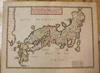
1656Best.-Nr. M8114Paris c.1656. Very Good. Size : 375x521 mm 14.76x20.51 Inches Coloring: Original Hand Coloring Category: Maps Asia Far East Japan & Korea; unknown
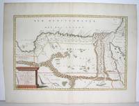
1700Best.-Nr. 54022Nicolas Bion: L'Usage des Globes. Amsterdam: Francois Halma. 1700. Attractive map of north eastern Africa including Egypt and northern Libya. Much of the charm of early maps of Africa lies in how they show the interior of the continent which was not explored until the 19th century. Maps by Sanson in original colour are rare. Nicolas Sanson was founder of the French school of mapmakers at a time when the leadership in European cartography passed from the Low Countries to France. This map was published in Brion's treatise on globes. Nicolas Brion was a famous French mathematical and scientific instrument maker. Copper engraving. Very good condition. Darkened edges to margins. Faint inkstamp on right margin not affecting map. Original colour. Size: 27 x 17 cm. 10½ x 6½ inches. unknown
1655Best.-Nr. M2801Paris: Mariette Pierre 1655. Excellent. Size : 345x523 mm 13.625x20.625 Inches Coloring: Original Outline Coloring Category: Maps Africa North Egypt Mariette, Pierre unknown
1834Best.-Nr. 1415500Paris: J. B. Baillière Libraire 1834. First Edition. Softcover. Octavo 4 115 pages. In Very Good condition. Rebound in modern blue paper wraps. Moderate to heavy toning to covers with spine area nearly toned to white; a small vertical crease to rear cover. Text block has soiling to edges light penciling to half-title page a few scattered stains and age-toning and light foxing throughout. Text in French. Shelved in Room A octavo overflow. 1415500. Special Collections - Upstairs. J. B. Baillière, Libraire unknown books
Best.-Nr. 220271Rouen [puis :] Paris, Schneider [puis :] Honoré Champion, s.d. (1911-1912) 5 vol. in-8, demi-chagrin cerise, dos à nerfs, couvertures conservées (reliure de l'époque).
1834Best.-Nr. 1415500Paris: J. B. Baillière Libraire 1834. First Edition. Softcover. Octavo 4 115 pages. In Very Good condition. Rebound in modern blue paper wraps. Moderate to heavy toning to covers with spine area nearly toned to white; a small vertical crease to rear cover. Text block has soiling to edges light penciling to half-title page a few scattered stains and age-toning and light foxing throughout. Text in French. Shelved in Room A octavo overflow. 1415500. Special Collections - Upstairs. J. B. Baillière, Libraire unknown
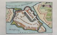
1690Best.-Nr. M9472Paris c.1690. Very Good. Notes: A charming map of Santa Maura on the island of Lefkada Greece during the late 17th century. Size : 104x153 mm 4.09x6.02 Inches Coloring: Hand Colored Category: Maps Europe Greece Macedonia; unknown
1818Ritratto del personaggio distintosi nelle vittorie e conquiste militari francesi tra il 1792 e 1815. L'incisione, antica ed originale, è accompagnata da pagina con testo descrittivo del personaggio. Foxing
1654Best.-Nr. M2853Paris 1654. Excellent. Size : 415x483 mm 16.375x19 Inches Coloring: Original Outline Coloring Category: Maps Russia unknown
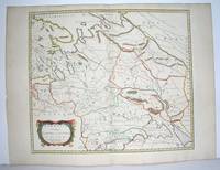
1654Best.-Nr. 8874Paris: Pierre Mariette 1654. Copper engraving 41.5 x 47.5 cm original hand-colour in outline trivial spotting blank verso. Showing parts of European Russia and Ukraine in antiquity. For Greco-Roman geographers and ethnographers Sarmatia was in western Scythia bordering the Roman Empire. Nicolas Sanson 1600-1667 founder of the Sanson dynasty of map-makers is considered by many to be the father of the French school of cartography. He was a prolific and original map-maker admired for the clarity and scientific accuracy of his maps. Map Pierre Mariette unknown
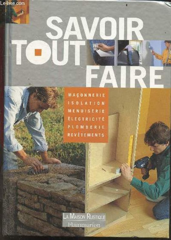
2000Best.-Nr. RO20264237LA MAISON RUSTIQUE / FLAMMARION. 2000. In-4. Relié. Etat d'usage, Couv. convenable, Dos fané, Rousseurs. 287 pages - texte sur plusieurs colonnes - nombreuses photos couleur, dans et hors texte. . . . Classification Dewey : 684-Ameublement, bricolage à la maison
1752Best.-Nr. 54049Amsterdam. Uten år. 1752. Originalt kobberstikk. Arkets størrelse : 175 cm X 164 cm. Fransk. Med en brett.Fra 'La Science des Personnes de Cour d'Epee et de Robe' by Z. Chatelain. unknown
1865Best.-Nr. 551091 vol. in-12 br., Henri Plon, Paris, 1865, 482 pp.