917 Ergebnisse
1925Best.-Nr. R240114103SPES. 1925. In-12. Broché. Etat d'usage, Couv. légèrement pliée, Coiffe en pied abîmée, Intérieur frais. 256 pages - annotation à l'encre en page de faux-titre. . . . Classification Dewey : 210-Philosophie et théorie
1683Best.-Nr. LBW-6981683 197 x 269 mm.
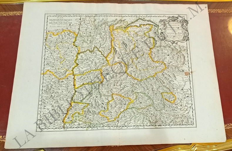
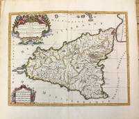
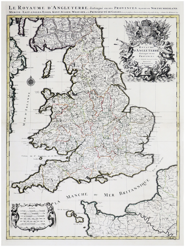
1693Best.-Nr. LBW-6390Paris, H. Jaillot, 1693. En deux feuilles jointes formant une carte de 785 x 584 mm.
1926Best.-Nr. RO40182038Spes. 1926. In-12. Broché. Etat d'usage, 1er plat abîmé, Dos abîmé, Intérieur acceptable. 256 pages. Couverture se détachant. Tampon de bibliothèque et vignette illustrée (portrait) collée en page de garde.. . . . Classification Dewey : 248-Vie chrétienne et méditations
1925Best.-Nr. RO40219307Spes. 1925. In-12. Broché. Etat d'usage, Tâchée, Coiffe en tête abîmée, Intérieur acceptable. 278 pages. Rousseurs sur les plats.. . . . Classification Dewey : 248-Vie chrétienne et méditations
1867Best.-Nr. RO30145676LECOFFRE FILS ET CIE. 1867. In-12. Broché. Etat d'usage, Couv. convenable, Mors fendus, Quelques rousseurs. 460 pages -. . . . Classification Dewey : 200-RELIGION
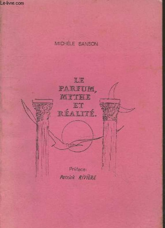
Best.-Nr. RO20240356A compte d'auteur. Non daté. In-8. Broché. Bon état, Couv. convenable, Dos fané, Intérieur frais. 52 pages. Quelques illustrations en noir et blanc hors texte. Texte tapuscrit.. . . . Classification Dewey : 646.72-Soins de beauté
1652Best.-Nr. YRG-392Carte géographique originale réalisée par Sanson d’Abbeville et gravée à la cuve par R. Cordier, (57,5 x 43,5 cm). Rehaussée de couleur, d'époque.
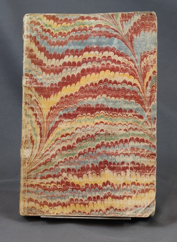
1860Best.-Nr. 23500Paris Bureaux de la Science Pittoresque et Bureaux de la Culture 1860 -in-12 demi-chagrin un volume, reliure demi-chagrin chocolat in-douze (binding half shagreen in-12)(20 x 13 cm), dos à nerfs (spine with raised bands) décoré "or" et à froid (gilt and blind stamping decoration), titre et auteur frappés "or" (gilt title), filet à froid de part et d'autre des nerfs et en tête et en pied, papier marbré marron et jaune aux plats (cover with marbled paper), toute tranches lisses, marque-page en tissu (bookmark in tissue), orné d'une gravure in-texte en noir + une figure de notation musicale in-texte en noir, 84 pages, 1860 Paris Bureaux de la Science Pittoresque et Bureaux de la Culture Editeurs,
1843Best.-Nr. R100686Paris, Gustave Martin 1843 vi + 480pp., 18cm., reliure cart. (dos en cuir avec titre et décorations dorées, plats marbrés), feuilles de garde marbrées, rousseurs (mais le texte est toujours bien lisible), R100686
Best.-Nr. 118019aafParis, 1652, carte gravée sur cuivre, coloriée d’époque, 1 feuille. (31x38 cm).
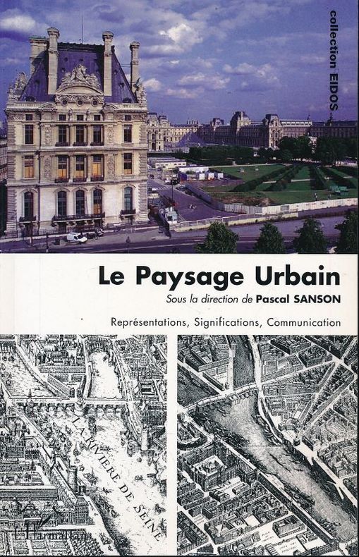
2013Best.-Nr. 154364L'Harmattan L'Harmattan, 2013. Grand in-8 broché de 367 pages. Rares passages soulignés au crayon de papier. Très bon état
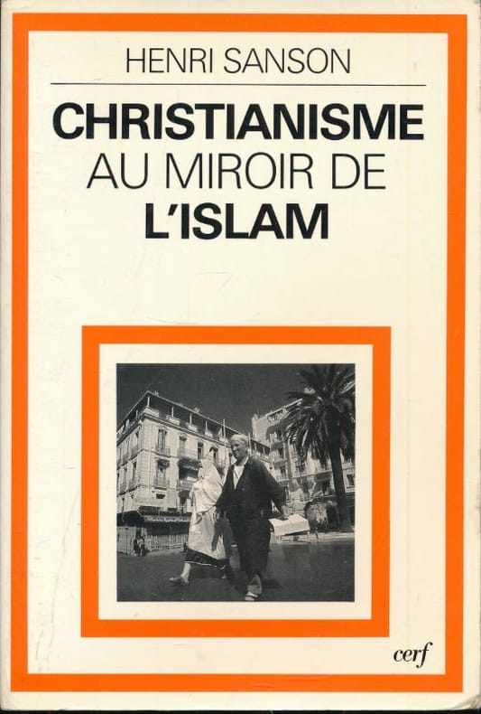
1984Best.-Nr. 176059Cerf Cerf, 1984. In-8 broché de 195 pages. Bon état.
1698Best.-Nr. 6697Amsterdam, Pierre Mortier, sans date [circa 1698]. In-8 broché de [titre gravé]-[2]-23-[1]p., 35 cartes, 1 pl., 40-8p. couverture de papier marbré du temps, étiquette manuscrite au dos. Coins légèrement arrondis, petits manque de papier au second mors.
1953Best.-Nr. 49751953 Les Travaux et les Jours, Paris, Presses Universitaires de France, 1953,1 Volume broché, 193 x 144 mm. 144 pp. 20 Figures dans et hors texte. Comme neuf.
1690Best.-Nr. M9477Paris c.1690. Very Good. Notes: A charming map of Athens Greece during the late 17th century. Size : 103x154 mm 4.06x6.06 Inches Coloring: Hand Colored Category: Maps City Maps; Maps Europe Greece Macedonia; unknown
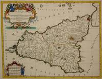
1692Best.-Nr. M7516Paris: Hubert Jaillot c. 1692. Very Good. Notes: Title cartouche in upper left features Sicilian coat of arms winged angels and merpeople while the scale in the lower left is held on each side by allegorical figures of labour and harvest. Mount Etna is represented pictorially. Size : 418x530 mm 16.46x20.87 Inches Coloring: Hand Colored in Outline Category: Maps Mediterranean Islands; Hubert Jaillot unknown
1696Best.-Nr. M10189Amsterdam: Covens & Mortier c.1696. Very Good. Size : 420x540 mm 16.54x21.26 Inches Coloring: Hand Colored Category: Maps Mediterranean Islands; Covens & Mortier unknown
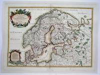
1708Best.-Nr. M4264Paris 1708. Very Good central fold reinforced mounted on acid free canvas. Size : 474x655 mm 18.625x25.75 Inches Coloring: Hand Colored in Outline Category: ; Maps Europe Scandinavia unknown
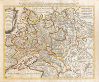
1710Best.-Nr. 009147Amsterdam: Petrus Schenck 1710 Cooper engraving 46.5 x 58.0 cm on paper measuring 51.0 x 63.5 cm with original outline coloring flattened expertly restored and backed with archival tissue paper. The Latin title in the top border reads: "Russiae Albae sive Moscoviae delineatio Geographica accurata et nova…". A good copy of a Moscovie map published in Amsterdam by Petrus Schenck. Petrus Schenck unknown
Best.-Nr. BN105020Softcover. La place verte - roman La place verte - roman paperback
2004Best.-Nr. H-405-5902004. Paperback. Good. Former library book. Different cover. Different publisher. Ammareal gives back up to 15% of this item's net price to charity organizations. paperback
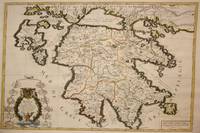
1692Best.-Nr. M7546Paris: H. Jaillot c. 1692. Very Good;. Notes: The title cartouche in the lower left corner is encased in a floral wreath at the bottom of which sits a winged lion wielding a sword and standing at a pulpit. At the top of the wreath sits a coat of arms held by two winged putti. Encircling the wreath are little diagrams of various fortifications around Greece. Size : 565x845 mm 22.24x33.27 Inches Coloring: Original Outline Coloring Category: Maps Europe Greece Macedonia; H. Jaillot unknown
Best.-Nr. 0364430451.Ghardcover. Good. Access codes and supplements are not guaranteed with used items. May be an ex-library book. hardcover