988 results
2003ref. 2-2868478255PU Rennes 2003. Paperback. New. 562 pages. French language. 9.37x6.30x1.42 inches. PU Rennes paperback
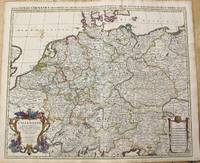
1696ref. M10211Amsterdam: Covens & Mortier c.1696. Very Good. Size : 510x605 mm 20.08x23.82 Inches Coloring: Original Outline Coloring Category: Maps Europe Germany; Covens & Mortier unknown
1656ref. 006682Paris: Chez l'Autheur 1656. First Edition. Full Calf. Very Good. 4to. 23.5 by 17.5 cm. Unpaginated 100 pages of text plus 2 pp. of ads. With 18 copper engraved maps all two page plates each with hand-colored of boundaries. Maps include one of the entire continent then of its various regions as then known plus the islands off the continent. Also a map of Malta. Bound in contemporary calf. Condition: calf dry and rubbed on spine and joints and edges rubbed. Light to moderate soiling in the margins of the pages. Two bookplates -- one of the Marquis of Lothian the other the Newbattle Abbey Library. Chez l'Autheur unknown books
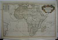
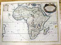
1719ref. M5162Paris 1719. Excellent. Size : 580x890 mm 22.875x35 Inches Coloring: Original Outline Coloring Category: ; Maps Africa Continent unknown
1700ref. M11022Paris c.1700. Very Good. Notes: French map of Africa as a continent. Size : 462x645 mm 18.19x25.39 Inches Coloring: Hand Colored Category: Maps Africa Continent; unknown
1656ref. 006682Paris: Chez l'Autheur 1656. First Edition. Full Calf. Very Good. 4to. 23.5 by 17.5 cm. Unpaginated 100 pages of text plus 2 pp. of ads. With 18 copper engraved maps all two page plates each with hand-colored of boundaries. Maps include one of the entire continent then of its various regions as then known plus the islands off the continent. Also a map of Malta. Bound in contemporary calf. Condition: calf dry and rubbed on spine and joints and edges rubbed. Light to moderate soiling in the margins of the pages. Two bookplates -- one of the Marquis of Lothian the other the Newbattle Abbey Library. Chez l'Autheur unknown
ref. 21267P., Imprimerie Dubuisson, sans date pour les deux ouvrages, soit deux ouvrages reliés en un volume petit in 12, demi-percaline verte amateur, 188 et 192pp. ; qq. rousseurs ; reliure modeste.
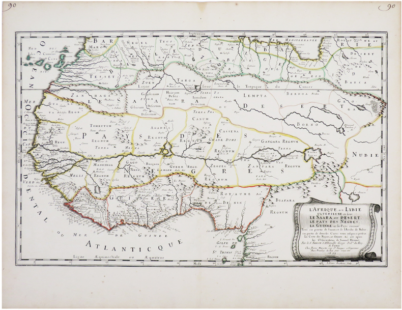
1655ref. LBW-7677Paris, Pierre Mariette, 1655. 342 x 547 mm.
ref. 0366495380.Gpaperback. Good. Access codes and supplements are not guaranteed with used items. May be an ex-library book. paperback
ref. 0366495496.Ghardcover. Good. Access codes and supplements are not guaranteed with used items. May be an ex-library book. hardcover
1656ref. B2984Paris: Nicolas Sanson c. 1656. Lower right corner of the first eight leaves strengthened otherwise a very good copy maps and text are clean and crisp. In protective cloth slipcase. Edition: First edition. Binding: Full contemporary calf expertly rebacked with spine in six compartments of raised bands and finely-gilt motifs morocco label on two edges speckled red. Notes: This atlas was dedicated to the Superintendent of Finances at the time Nicolas Fouquet. Regarding a map of South and Central Africa published the year before which bears resemblance to this map of South Africa--‘Pays et Costes des Caffres’--in particular Norwich writes: “This map although a fine example of cartography is based on very little information; for example the desert-like coast of South West Africa is presented as a land rich in rivers. The fictitious states are given fictitious boundaries and the interior is marked with large cities such as Vigiti Magna and Monomotapa. This information led to subsequent exploration in search of these fabulous cities. Although the map is dated three years after the foundation of a settlement at the Cape by Jan van Riebeeck no mention is made of any European settlement anywhere in the south.” Size: 4to Illustration: Recent stencilled title. Complete with 18 maps of Africa and its territories in original outline colour. References: Tooley IV:103; Tooley Africa 100 Peyrounin edition; Norwich 37 & 158. Pages: P. 1-96. Category: Book Africa General; Book Atlas & Cartography Nicolas Sanson hardcover
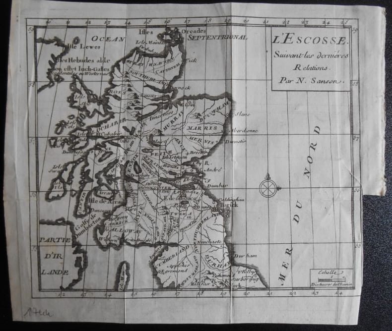
1951ref. 1659031951 N Sanson.L ' ESCOSSE . Suivant les dernières relations.Carte de 19,5 x 16,5 ( feuille 22x19).Provient de :Père d' Orléans. Histoire des révolutions d ' Angleterre . 1744.
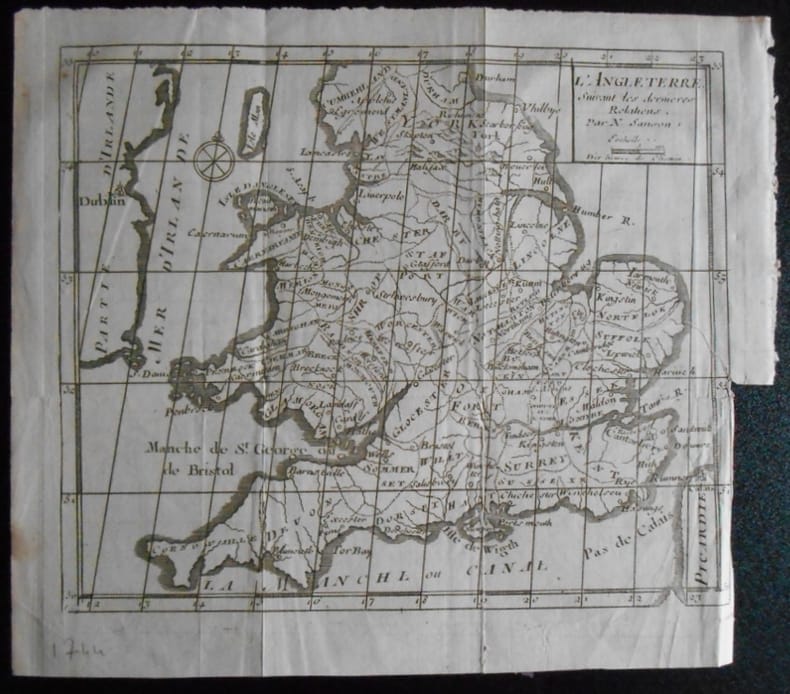
1951ref. 1659041951 N Sanson.L ' ANGLETERRE . Suivant les dernières relations.Carte de 19,5 x 16,5 ( feuille 22x19).Provient de :Père d' Orléans. Histoire des révolutions d ' Angleterre . 1744.
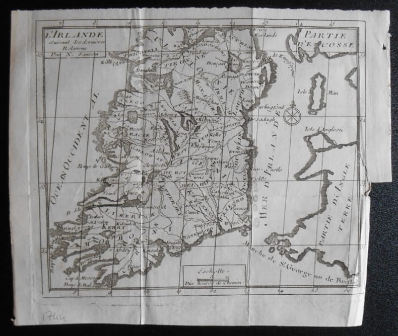
1951ref. 1659051951 N Sanson.L ' IRLANDE . Suivant les dernières relations.Carte de 19,5 x 16,5 ( feuille 22x19).Provient de :Père d' Orléans. Histoire des révolutions d ' Angleterre . 1744.
1700ref. LBW-8050Amsterdam, Pierre Schenk, [circa 1700]. 487 x 577 mm.
1981ref. ABE-1701126728737EN UNE: CHARLES ET DIANA: LA LUNE DE MIEL-KIRAZ COLOR, 2 CAVALIERES SUR PLAGE-LA DECENTRALISATION-CHARLES ET DIANA: LA LUNE DE MIEL, 10 PAGES-TEHERAN: L'INQUIETUDE ET L'ESPOIR-ELODIE OLIVIA ET LES GENTILS DAUPHINS, DENISE FABRE, 4 PAGES-UN HOMME FORT NOMME JOHNNY, 2 PAGES, 3 PHOTOS-L'ECLAT DE RIRE DE LA PRINCESSE GRACE-POLOGNE: LA LONGUE EPREUVE, 8 PAGES-VERONIQUE SANSON: CHAUD DEHORS DOUX DEDANS, 4 PAGES-GODOUNOV: UNE LIBERTE QUI A DEUX ANS, 4 PAGES-QUAND DIOR DESCEND SUR LA COTE., 2 PAGES-PAOLA ET SA PLANCHE A VOILE, 4 PAGES-MIOU-MIOU: LA LECON D'EQUITATION-L'ETE BIZARRE, 7 PAGES-MODE, APERCU D'AUTOMNE, 10 PAGES-MAURICE CHEVALIER "UNE ROUTE SEMEE D'ETOILES", PAR GERTY COLIN
1943ref. 620NEW-YORK. APPLETON-CENTURY-CROFTS. 1943. IN-8 DE XVIII + 554 PAGES, RELIURE DE L’EDITEUR A LA BRADEL PERCALINE ORANGE, TITRE DORE SUR DOS LISSE. COMPLETE PAR UN INDEX. ILLUSTRE DE 55 FIGURES IN ET HORS-TEXTE, ET D’UNE CARTE REPLIEE. BON EXEMPLAIRE.
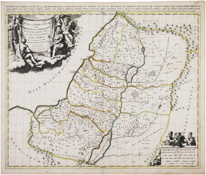
1691ref. 43500Amsterdam Huguetan & Mortier 1691. 56x85 cm. Large engraved map of Terra Sancta with original colours in outline. With two large engraved cartouches. Small repairs to lower part of centerfold. This is Jaillot's large version of Sanson's map of Palaestine divided into tribes. unknown
1691ref. 43500Amsterdam, Huguetan & Mortier, 1691. 56x85 cm. Large engraved map of Terra Sancta with original colours in outline. With two large engraved cartouches. Small repairs to lower part of centerfold.
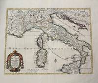
1702ref. M10242Amsterdam: Jean Covens & Corneille Mortier c.1702. Very Good. Size : 420x528 mm 16.54x20.79 Inches Coloring: Hand Colored Category: Maps Europe Italy; Maps Mediterranean Islands; Jean Covens & Corneille Mortier unknown
1656ref. 78504Uten sted. Paris 1656. Tverr4to. Arkets størrelse : 335 cm X 245 cm. Med samtidig grensekolorering. Fransk. Nicolas Sanson 1600-1667 blir regnet for å være grunnleggeren av fransk kartografi. Kommer fra atlaset “L’Afrique” med flere senere utgivelser. unknown
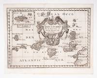
ref. 53608c.1700. Original engraved map 19 x26.5 cm. overall sheet size 22 x 29 cm. of the Canaries with inset of Madeira. Central vertical fold. [c.1700] unknown
1663ref. 283501Paris 1663. unbound. very good. Map. Hand-colored engraving. 15" x 23". This map of Sicily from the 17th century shows the entire island as well as the southwesternmost tip of the Italian peninsula. The names of the surrounding bodies of water are named in Latin and rivers mountains lakes and towns are noted on the map. Nicolas Sanson 1600-1667 is considered the founder of the French school of cartography. In reaction to the prevailing trend of Dutch lavishness Sanson favored minimal details focusing rather on accurate cartography than ornament. This map is a fine example of his work. unknown books
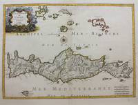
1658ref. M9417Paris: Nicolas Sanson c.1658. Very Good upper fold area expertly repaired. Notes: A fine map of Crete from the mid 17th century. The map also shows nearby islands such as Santorini Stampalia and Milo. The map has a decorative cartouche and details cities borders and geographical features. Size : 394x553 mm 15.51x21.77 Inches Coloring: Hand Colored Category: Maps Europe Greece Macedonia; Nicolas Sanson unknown