Livre Rare Book

979 resultados
1981ref. ABE-1701126728737EN UNE: CHARLES ET DIANA: LA LUNE DE MIEL-KIRAZ COLOR, 2 CAVALIERES SUR PLAGE-LA DECENTRALISATION-CHARLES ET DIANA: LA LUNE DE MIEL, 10 PAGES-TEHERAN: L'INQUIETUDE ET L'ESPOIR-ELODIE OLIVIA ET LES GENTILS DAUPHINS, DENISE FABRE, 4 PAGES-UN HOMME FORT NOMME JOHNNY, 2 PAGES, 3 PHOTOS-L'ECLAT DE RIRE DE LA PRINCESSE GRACE-POLOGNE: LA LONGUE EPREUVE, 8 PAGES-VERONIQUE SANSON: CHAUD DEHORS DOUX DEDANS, 4 PAGES-GODOUNOV: UNE LIBERTE QUI A DEUX ANS, 4 PAGES-QUAND DIOR DESCEND SUR LA COTE., 2 PAGES-PAOLA ET SA PLANCHE A VOILE, 4 PAGES-MIOU-MIOU: LA LECON D'EQUITATION-L'ETE BIZARRE, 7 PAGES-MODE, APERCU D'AUTOMNE, 10 PAGES-MAURICE CHEVALIER "UNE ROUTE SEMEE D'ETOILES", PAR GERTY COLIN
1943ref. 620NEW-YORK. APPLETON-CENTURY-CROFTS. 1943. IN-8 DE XVIII + 554 PAGES, RELIURE DE L’EDITEUR A LA BRADEL PERCALINE ORANGE, TITRE DORE SUR DOS LISSE. COMPLETE PAR UN INDEX. ILLUSTRE DE 55 FIGURES IN ET HORS-TEXTE, ET D’UNE CARTE REPLIEE. BON EXEMPLAIRE.
1691ref. 43500Amsterdam Huguetan & Mortier 1691. 56x85 cm. Large engraved map of Terra Sancta with original colours in outline. With two large engraved cartouches. Small repairs to lower part of centerfold. This is Jaillot's large version of Sanson's map of Palaestine divided into tribes. unknown
1691ref. 43500Amsterdam, Huguetan & Mortier, 1691. 56x85 cm. Large engraved map of Terra Sancta with original colours in outline. With two large engraved cartouches. Small repairs to lower part of centerfold.
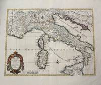
1702ref. M10242Amsterdam: Jean Covens & Corneille Mortier c.1702. Very Good. Size : 420x528 mm 16.54x20.79 Inches Coloring: Hand Colored Category: Maps Europe Italy; Maps Mediterranean Islands; Jean Covens & Corneille Mortier unknown
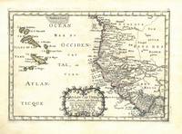
1656ref. 78504Uten sted. Paris 1656. Tverr4to. Arkets størrelse : 335 cm X 245 cm. Med samtidig grensekolorering. Fransk. Nicolas Sanson 1600-1667 blir regnet for å være grunnleggeren av fransk kartografi. Kommer fra atlaset “L’Afrique” med flere senere utgivelser. unknown
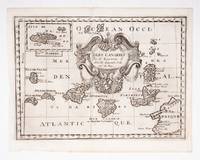
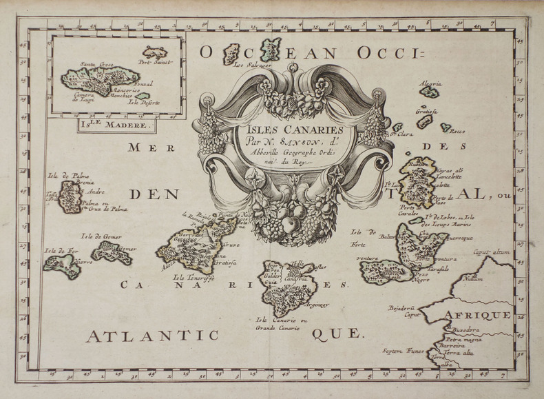
ref. 53608c.1700. Original engraved map 19 x26.5 cm. overall sheet size 22 x 29 cm. of the Canaries with inset of Madeira. Central vertical fold. [c.1700] unknown
1663ref. 283501Paris 1663. unbound. very good. Map. Hand-colored engraving. 15" x 23". This map of Sicily from the 17th century shows the entire island as well as the southwesternmost tip of the Italian peninsula. The names of the surrounding bodies of water are named in Latin and rivers mountains lakes and towns are noted on the map. Nicolas Sanson 1600-1667 is considered the founder of the French school of cartography. In reaction to the prevailing trend of Dutch lavishness Sanson favored minimal details focusing rather on accurate cartography than ornament. This map is a fine example of his work. unknown books
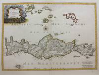
1658ref. M9417Paris: Nicolas Sanson c.1658. Very Good upper fold area expertly repaired. Notes: A fine map of Crete from the mid 17th century. The map also shows nearby islands such as Santorini Stampalia and Milo. The map has a decorative cartouche and details cities borders and geographical features. Size : 394x553 mm 15.51x21.77 Inches Coloring: Hand Colored Category: Maps Europe Greece Macedonia; Nicolas Sanson unknown
1663ref. 283501Paris 1663. unbound. very good. Map. Hand-colored engraving. 15" x 23". This map of Sicily from the 17th century shows the entire island as well as the southwesternmost tip of the Italian peninsula. The names of the surrounding bodies of water are named in Latin and rivers mountains lakes and towns are noted on the map. Nicolas Sanson 1600-1667 is considered the founder of the French school of cartography. In reaction to the prevailing trend of Dutch lavishness Sanson favored minimal details focusing rather on accurate cartography than ornament. This map is a fine example of his work. unknown
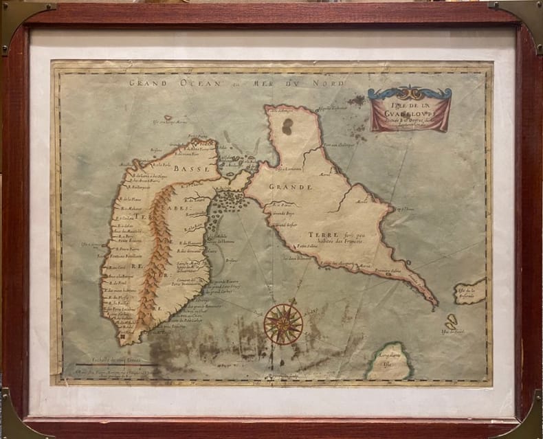
ref. 230537Paris, MARIETTE Pierre, (vers 1662) à vue : 32 x 43,5 cm - cadre : 43 x 52.5 cm , Cadre du XXe siècle. Déchirures dont une au coin inférieur gauche et une au niveau inférieur de la pliure centrale. Taches.
1670ref. LBW-587Paris chez l'autheur 1670 circa 393 x 552 mm.
1683ref. LBW-7051683. 189 x 265 mm.
1778ref. M3768Paris 1778. Excellent. Size : 405x501 mm 15.875x19.75 Inches Coloring: Hand Colored Category: ; Maps Europe Ireland unknown
1974ref. 343576Los Angeles: Ediciones de la Frontera 1974. Pamphlet. 20 pages staplebound pamphlet. 8.75x8.5 in. Author's presentation inscription on title page: "Para Enrique mi buen amigo y profesor con el aprecio de su ex-alumno signed Eduardo Arguello Sanson." Covers dustsoiled bottom corner bumped. Scarce book of poems by the Nicaraguan-born writer. WorldCat lists only four locations three in the US one in the UK as of January 2026. Ediciones de la Frontera unknown books
1974ref. 343576Los Angeles: Ediciones de la Frontera 1974. Pamphlet. 20 pages staplebound pamphlet. 8.75x8.5 in. Author's presentation inscription on title page: "Para Enrique mi buen amigo y profesor con el aprecio de su ex-alumno signed Eduardo Arguello Sanson." Covers dustsoiled bottom corner bumped. Scarce book of poems by the Nicaraguan-born writer. WorldCat lists only four locations three in the US one in the UK as of January 2026. Ediciones de la Frontera unknown
ref. 0656632127.Ghardcover. Good. Access codes and supplements are not guaranteed with used items. May be an ex-library book. hardcover
ref. 0428884288.Ghardcover. Good. Access codes and supplements are not guaranteed with used items. May be an ex-library book. hardcover
ref. 0259030171.Gpaperback. Good. Access codes and supplements are not guaranteed with used items. May be an ex-library book. paperback
ref. 1333160763.Gpaperback. Good. Access codes and supplements are not guaranteed with used items. May be an ex-library book. paperback
ref. 2237Chez Zacharie Chatelain, à Amsterdam, 1743-1745.
1999ref. R160124116MINERVA. 1999. In-8. Broché. Très bon état, Couv. convenable, Dos satisfaisant, Intérieur frais. 175 pages. Nombreuses illustrations en noir et blanc dans le texte. Couverture rempliée. Texte sur 1 ou 2 colonnes.. . . . Classification Dewey : 500-SCIENCES DE LA NATURE ET MATHEMATIQUES
1690ref. 167791690 basane brune, dos à n. 2 tomes en un vol. in-12, (12ff.), 144pp. et titre, 178pp., (7ff.), 48pp., (catalogue des libraires), 4 planches dépliantes (la quatrième est incomplete de sa plus grande partie…) A Paris chez l'auteur, aux galleries du Louvres, vis-à-vis l'Eglise de St. Nicolas. 1690
ref. 98233Paris chez l'auteur 1699-1690 1 vol. relié 2 parties reliées en un vol. in-18, basane havane écailles de tortue, dos à nerfs, pièces de titre de basane bordeaux, caissons ornés de fleurons et dentelles dorées, tranches rouges, (22) + 144 et 178 + (12) + 48 pp. (cat. éd.), 4 cartes dépliantes sur les 6 (reliure de l'époque usée mais solide). Nicolas Sanson (1600-1667) né à Abbeville est cartographe célèbre du XVIIe siècle. Sa première carte importante est "Les Postes de France", en 1632.
ref. 98233Paris chez l'auteur 1699-1690 1 vol. relié 2 parties reliées en un vol. in-18, basane havane écailles de tortue, dos à nerfs, pièces de titre de basane bordeaux, caissons ornés de fleurons et dentelles dorées, tranches rouges, (22) + 144 et 178 + (12) + 48 pp. (cat. éd.), 4 cartes dépliantes sur les 6 (reliure de l'époque usée mais solide). Nicolas Sanson (1600-1667) né à Abbeville est cartographe célèbre du XVIIe siècle. Sa première carte importante est "Les Postes de France", en 1632.