1.732 resultados
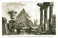
1778ref. 1612London: Alexander Hogg 1778. Good. Etching with engraving on lightweight wove paper 7 1/2 x 11 1/4 inches 190 x 285 mm; sheet 8 3/4 x 13 1/4 inches 222 x 336 mm unevenly trimmed wide margins. Condition is consistent with age including some light toning handling wear and some scattered light spots of discoloration. An image from Moore's Voyages & Travels. Alexander Hogg unknown
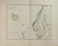
1802ref. 338524Paris: Edme Mentelle 1802. Map. Engraving with hand coloring. Image measures 12 1/2" x 16 1/2". This 1802 map by Tardieu depicts Denmark Norway Sweden and Iceland. Includes parts of Sweden Finland Faroe Islands and Scotland. The highly detailed map identifies towns cities roads and rivers. Mountains are depicted pictorially. The map is in very good condition. Centerfold as issued. Pierre Francois Tardieu 1711-1771 came from a family of engravers and map makers based in Paris. Edme Mentelle unknown
1802ref. 338524Paris: Edme Mentelle 1802. Map. Engraving with hand coloring. Image measures 12 1/2" x 16 1/2". This 1802 map by Tardieu depicts Denmark Norway Sweden and Iceland. Includes parts of Sweden Finland Faroe Islands and Scotland. The highly detailed map identifies towns cities roads and rivers. Mountains are depicted pictorially. The map is in very good condition. Centerfold as issued. Pierre Francois Tardieu 1711-1771 came from a family of engravers and map makers based in Paris. Edme Mentelle unknown books
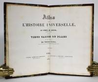
1836ref. 014368Paris: Furne & Fruger et Brunet 1836. Hardcover. Very Good/No Jacket. 12mo - over 6¾ - 7¾" tall. Half morocco marbled paper boards gilt spine decoration. Marbled endpapers. Twenty double-page map spreads designed and engraved by Ambroise Tardieu featuring plans of the cities of Athens Sparta ruins Carthage Jerusalem Syracuse Rome and Constantinople. Spine sunned light rubbing to extremities. Inner hinge cracked at flyleaf. Bookplates to flyleaves. Furne & Fruger et Brunet hardcover
ref. 6788S. l., P. F. Tardieu et P.H. Macquet, circa 1790. 2 feuilles à superposer (102 x 49,5 cm) x 2. Exemplaire avec réhauts de couleurs et à très grandes marges avec les îles Anglo-normandes dans un encart.
1869ref. 555921 carte dépliante lithographiée en couleurs entoilée format 89 x 67,8 cm, Chambéry, 1869, Carte du Département de la Savoie par M. Conte, Ingénieur en Chef des Ponts et Chaussées, Officier des Ordres de la Légion d'Honneur, des SS. Maurice et Lazare, etc. etc. avec le Concours de Mr. Tardieu, Agent-Voyer Chef, Par Jh. Perrin, Libraire Editeur et Lithographe
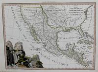
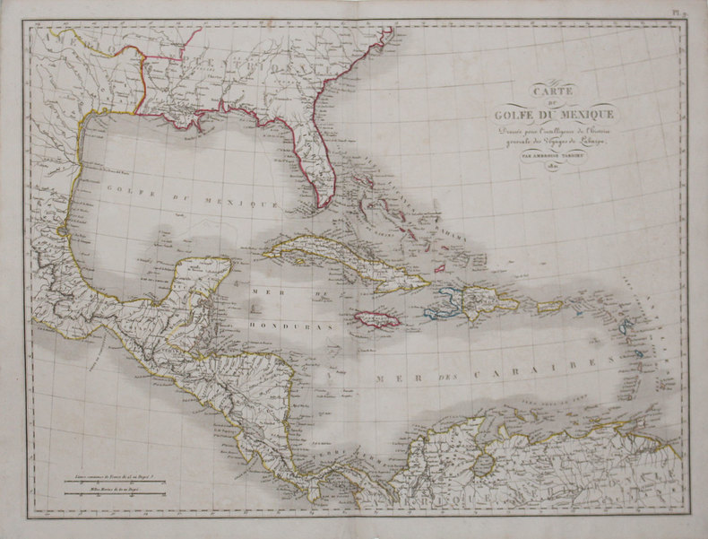
1819ref. M8213Paris. c. 1819. Very Good. Notes: Rare first edition of this important map of Mexico and the South & Western US. This map is based on the works of Humboldt Pike and Lewis & Clark. Size : 222x298 mm 8.75x11.75 Inches Coloring: Hand Colored in Outline Category: Maps Central America Mexico; unknown
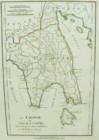
1786ref. M6642Paris 1786. Very Good;. Size : 326x215 mm 12.83x8.46 Inches Coloring: Original Outline Coloring Category: Maps Europe Greece Macedonia; unknown
ref. 59-0182Paris de l'Imprimerie Royal Cabinet Crozat 1729. Engraving by Nicolas Tardieu after the painting by André Luigi d'AssiseImage size: 443 x 326 mmSheet size: 540 x 406 mm Water stains in lower margin.Plate number 74From "Recueil d'Estampes d'après les plus beaux Tableaux et d'après les plus beaux Desseins qui sont en France dans le Cabinet du Roy dans celuy de Monseigneur le Duc d'Orleans & dans d'autres Cabinets Tome Premier. Cabinet Crozat Volume 1 Paris, de l'Imprimerie Royal [Cabinet Crozat], 1729. unknown
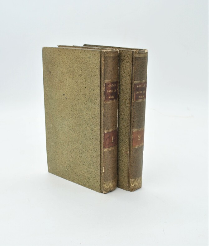
1788ref. PHO-753Paris, Cuchet, 1788. 2 volumes in-8 de xv, 399 pp. ; xii, 410, (2) pp. Cartonnage jaspé, p. de titre et de tom. (reliure de l'époque). Illustré de 3 grandes cartes dépliantes.
1954ref. 89913Gallimard | Paris 1954 | 14.2 x 19.5 cm | Broché
ref. 510248 planches gravées des Tomes II et III, attachées avec la carte minéralogique. Format in-4 pour les planches; format in-folio pour la carte gravée par Tardieu.Etat satisfaisant.
1830ref. 78711Paris: Pelasol c. 1830. Oblong folio 25x33 cm. Contemporary half cloth covers marbled paper spine partly damaged; marbled paper rubbed and loss of paper at the borders; first endpapaers renewed. Calligraphed title with on verso "Table. composant l'Atlas"and explications of "Signes conventionnels pour les Departemens". And 97 engraved maps 'sous la direction de P. Tardieu' with explanatory texts printed in the margins in a very small type. A bit loose in binding small lightbrown spots in places. 97 maps complete: 2 large folding maps 'France' & 'Douanes'. - 86 'Departements'. 2 second copy of 'Seine' & 'environs de Paris' only these 2 handcoloured. - 1 'Alger' folding map - 6 'Colonies' folding maps. - Binding used; small waterstain in lower margins but on the whole an acceptable copy Pelasol hardcover
ref. lc_107177Paris, chez Ledentu, libraire, 1825
1825ref. LBW-31631821 [1825]. 408 x 544 mm.
1825ref. LBW-31781821 [1825]. 548 x 410 mm.
1825ref. LBW-32261821 [1825]. 256 x 391 mm.
1825ref. LBW-32271821 [1825]. 406 x 542 mm.
ref. 3067BAILLIERE (1872) - 1° édition - Broché in-8 de 610 pages - Avec quinze fac-similés d'écriture d'aliénés - Très bon état
ref. 11446Clermont-Ferrand, Ch. Estienne, (Imprimerie Desrosiers à Moulins), 1866 ; in-4, broché. 2ff.-287pp.-1f. (errata). Exemplaire débroché, dos manquant, couverture tâchée, mouillure pâle en pied.
1874ref. 87083Paris, J.B. Baillière, 1874-1879, in-8, 174-[1] + X-284 pp, Demi-maroquin vert, dos à nerfs fileté à froid, Seconde édition pour le premier traité, assez rare, qui contient le récit de la vie d'Alexina B. dont le sexe avait été mal identifié à la naissance. Édition originale pour le second ouvrage qui est relié à la suite et s'intitule Étude médico-légale sur les maladies produites accidentellement ou involontairement par imprudence, négligence ou transmission contagieuse comprenant l'histoire médico-légale de la syphilis, de ses divers modes de transmission. Ambroise Tardieu (1818-1879) était un médecin légiste français, médecin consultant de Napoléon III et un expert auprès des tribunaux aguerri. Cachet Michel Collée, ex-libris manuscrit Ormières au titre. Pâles rousseurs, frottements. Couverture rigide
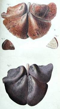
1868ref. 19750Paris: Bailliere 1868. With 2 full-page and 1 folding stipple engraved plates 2 completed in fine contemporary hand-color. Contemporary half gilt green sheep over marbled boards old manuscript shelf labels bookbinder ticket affixed to the front pastedown stamps of the Royal College of Surgeons of England. In good condition. First edition of this forensic analysis of infanticide. The text describes ways of determining if a newborn was born alive different forms of infanticide suffocation head injury strangulation drowning discarding in trash fire and the criminal pathology of mothers who kill their babies. It includes instructions for performing autopsies. The final section is comprised of case studies. The plates at the end of the volume show the organs and bones of babies who were both stillborn and killed after birth. Bailliere unknown
1868ref. 19750Paris: Bailliere 1868. With 2 full-page and 1 folding stipple engraved plates 2 completed in fine contemporary hand-color. Contemporary half gilt green sheep over marbled boards old manuscript shelf labels bookbinder ticket affixed to the front pastedown stamps of the Royal College of Surgeons of England. In good condition. First edition of this forensic analysis of infanticide. The text describes ways of determining if a newborn was born alive different forms of infanticide suffocation head injury strangulation drowning discarding in trash fire and the criminal pathology of mothers who kill their babies. It includes instructions for performing autopsies. The final section is comprised of case studies. The plates at the end of the volume show the organs and bones of babies who were both stillborn and killed after birth. Bailliere unknown books
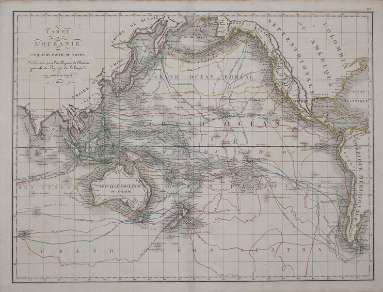
1810ref. 357352Paris.: Henri Tardieu. 1810. 1st Edition. Hardcover. Old half plain parchment over mottled boards. Good covers worn lower half of spine missing contents very good with light toning to maps. 21.8x16x1.5 cm. Rare first edition of this popular atlas intended for the instruction of children. North American map shows little detail in the Pacific Northwest but does show the “River of the West” flowing westward from “Pikes Lake”. weight: 0.6 lb. 21 double page maps with outline color. Henri Tardieu. hardcover
ref. 776526Peeters France 1990 In-8 ( 240 X 155 mm ) de 209 pages, broché sous couverture imprimée. Bon exemplaire, rare. ( Bibliothèque de l'Ecole des Hautes Etudes, Section des Sciences Religieuses, XCIV )