TARDIEU (Nicolas Henri) & MENESTRIER (Claude-François).Livre Rare Book
1.711 Ergebnisse
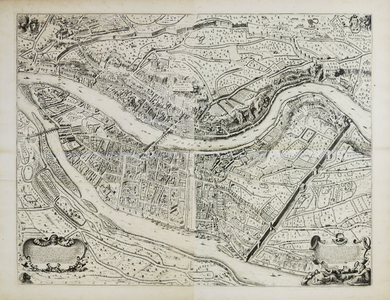
1696Best.-Nr. LBW00291[1696]. En 2 feuilles pouvant être jointes et former un plan d'environ 660 x 860 mm.
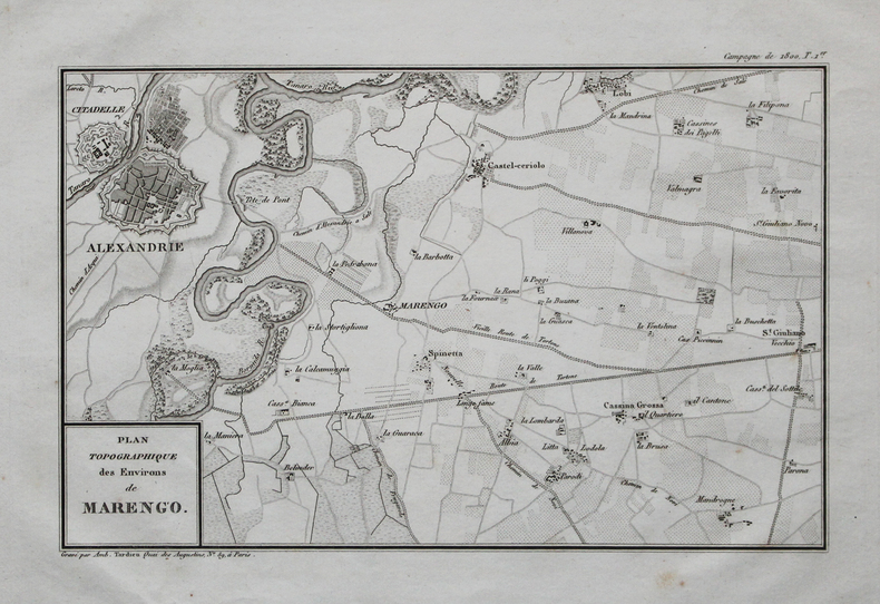
1820Best.-Nr. LBW-4497[circa 1820]. 176 x 252 mm.
1794Best.-Nr. LBW002c2[1794]. 216 x 308 mm.
1820Best.-Nr. LBW-4517[circa 1820]. 366 x 462 mm.
1820Best.-Nr. LBW-4526[circa 1820]. 460 x 366 mm.
1820Best.-Nr. LBW-4518[circa 1820]. 367 x 462 mm.
1820Best.-Nr. LBW-4522[circa 1820]. 367 x 460 mm.
1820Best.-Nr. LBW-4474[circa 1820]. 238 x 377 mm.
1836Best.-Nr. LBW-5983[1836]. 602 x 890 mm.
1836Best.-Nr. LBW-5976[1836]. 597 x 397 mm.
1836Best.-Nr. LBW-5897[1836]. 578 x 380 mm.
1836Best.-Nr. LBW-5985[1836]. 603 x 884 mm.
1825Best.-Nr. LBW-32291821 [1825]. 538 x 402 mm.
1820Best.-Nr. LBW-4525[circa 1820]. 368 x 461 mm.
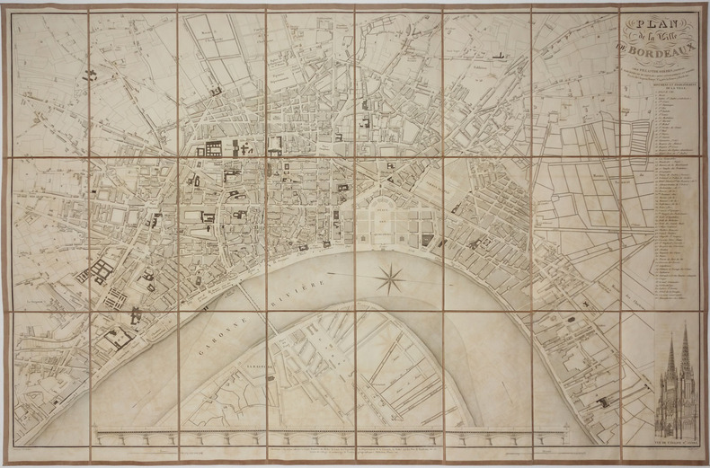
1853Best.-Nr. LBW-2771Bordeaux, Fillastre Frères, 1853. En 24 sections montées sur toile et pliées, formant un plan de 600 x 915 mm ; sous étui de l'éditeur.
1836Best.-Nr. LBW-5982[1836]. 611 x 898 mm.
1820Best.-Nr. LBW-4524[circa 1820]. 368 x 464 mm.
1836Best.-Nr. LBW-5980[1836]. 596 x 878 mm.
1822Best.-Nr. LBW-44721822. 367 x 468 mm.
1820Best.-Nr. LBW-4457[circa 1820]. 165 x 261 mm.
Best.-Nr. 2070377326.Gpocket_book. Good. Access codes and supplements are not guaranteed with used items. May be an ex-library book. unknown
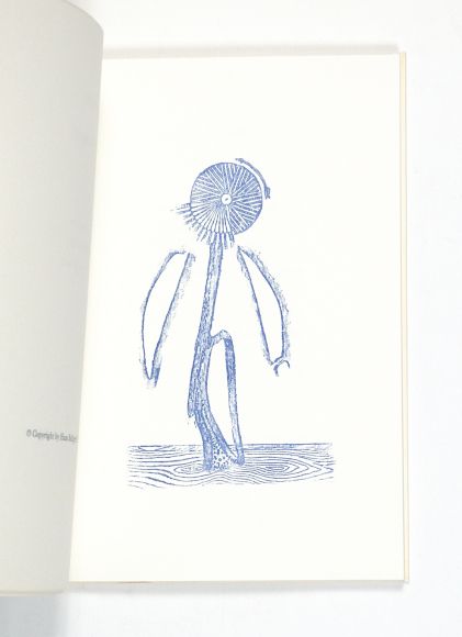
1973Best.-Nr. 63109Zürich, Edition Hans Bolliger, (1973). 4°. Mit 24 Reproduktionen nach Frottagen u. 2 Orig.-Lithographien von Max Ernst. 38 nn. Bll. (die beiden ersten u. die 3 letzten weiß), OKart. m. transparentem OUmschlag.
Best.-Nr. 16-3711France: late 19th Century. 8vo. 13 x 20 Qtr. roan and Original boards. 28 double page handcolored maps most with one wormhole in the margins and waterstain. 28 world and country maps; Also bound in are 19th Century maps of Napolionic battles.Atlas. Recueil composite :-- 4 planches doubles couleurs sphère armilllaire lune mappemonde etc.- 23 cartes fin XVIIIe s. rehaussées sur double page mappemonde Europe pays d'Europe Asie Afrique Egypte Amérique etc.- 1 carte d'Océanie sur double page par Avril 1841. 10 plans de A.M. PERROT gravés par Tardieu sur les batailles napoléoniennes.In-8 ½ basane verte ép. dos lisse. Coiffes et coins usés. Galeries de vers et mouillures claires. France: late 19th Century hardcover
1619Best.-Nr. 2942Paris 1916-1917. Hardcover. Very Good . Each volume approx. 300 p. 5 x 7 1/4 in. Half morocco binding with marbled boards gilt lettering on spines 5 raised bands top edge of text block gilt colored end papers. Condition of each volume is VERY GOOD: very light wear to covers and spines marbled boards very lightly worn a few lightly worn corners and spine edges light discoloration to some leather surfaces. Spine faded edges of text block very lightly darkened small book plate of David B. Ogden on inside of front cover pages very clean bindings very tight. LF LC- light soiling to end papers. Gaspard- small old worm hole at edge of text block. La France.- light soiling to end papers front hinge starting to crack this text alone from 1910 all others are from 1916-1917. NOTE- 10 volumes all in French all war memoirs pertaining to WW I all bound uniformly color variations in leather marbled boards end papers by Brentano's NY stamped on endpaper. hardcover
1837Best.-Nr. 56149lithograph map and 2 profiles on double-page sheet. EXTREMELY RARE map from "Atlas Journal de la Navigation Autour du Globe de la Frégate la Thétis et de la Corvette l'Esperance pendant les années 1824 1825 et 1826"; pl. 51; REFERENCE: Borba de Moraes I p. 115; Sabin 6874; cf. Ferguson 2236; Ferguson 1204; cf. Hill p. 31; Numa Broc Oceanie 89; cf. Nissen ZBI 483; Howgego B50. Arthus Bertrand, Paris.