2 016 résultats
réf. 65772Librairie agricole de la maison rustique 1860 livre manuel 18*11 472 pages
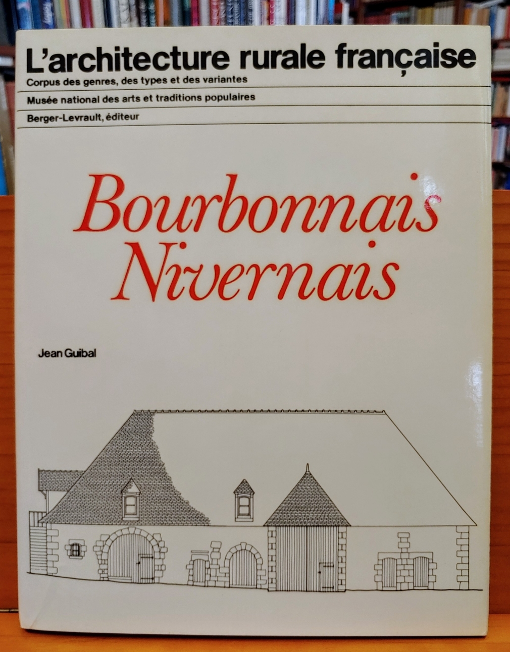
1981réf. 24399Paris, Berger-Levrault, 1981. 345 S., mit zahlr. Illustr., graph. Darst., Kt. 4°, OLwd., OSu.
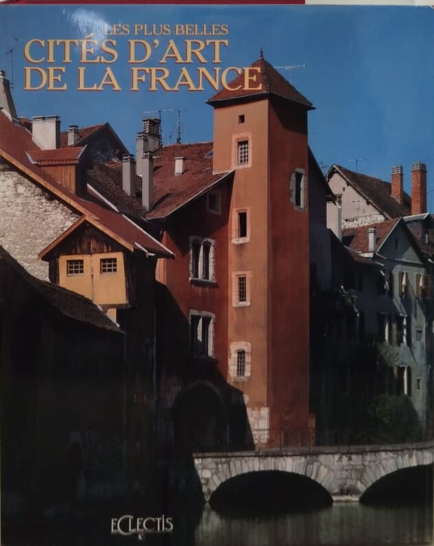
1992réf. 11541Eclectis 1992 400 pages in4 sous emboitage. 1992. Relié jaquette. 400 pages.
réf. DADAX0300141696New unknown
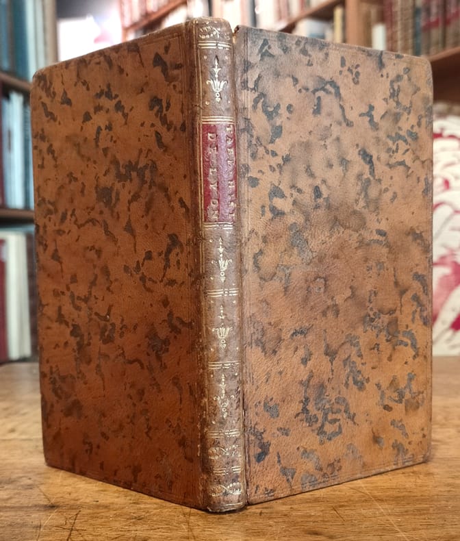
1792réf. 12386Lyon, Imprimerie de J. Pellisson et J. L. Mouly, 1792 ; in-12, plein veau havane marbré, dos lisse, faux nerfs dorés, pièce de titre bordeaux, titre doré en long, fleurons décoratifs dorés, tranches rouges, filets dorés sur les coupes, tranches rouges (reliure de l’époque) ; VIII, 147, (1) pp.
1800Very Good French Original decorated map. Hand-coloured. Oblong elephant folio. (54 x 76 cm). In French. Shows Greece, Archipelago, Isle de Candie, Asia Minor (Western side), and East Mediterranean. Delisle od de l'Isle was a French cartographer known for his popular and accurate maps of Europe and the newly explored Americas. At 27, Delisle was admitted into the French Académie Royale des Sciences, an institution financed by the French state. After that date, he signed his maps with the title of "Géographe de l'Académie". Five years later, he moved to the Quai de l'Horloge in Paris, a true publishing hub where his business prospered. Delisle's progress culminated in 1718 when he received the title of Premier Géographe du Roi. He was appointed to teach geography to the Dauphin, King Louis XIV's son, a task for which he received a salary. Again, his father's reputation as a man of science probably helped the younger Delisle. Historian Mary Sponberg Pedley says, 'once authority was established, a geographer's name might retain enough value to support two or three generations of mapmakers'. Delisle's case, it could be said that his accomplishments surpassed his father's. Up to that point, he had drawn maps not only of European countries, such as Italy, Spain, Germany, Great Britain, Poland, and regions such as the Duchy of Burgundy, but he had also contributed to the empire's claims to recently explored continents of Africa and the Americas. Like many cartographers of his day, Delisle did not travel with the explorers. He drew maps mostly in his office, relying on a variety of data. The quality of his maps depended on a solid network to provide him first-hand information. Given his family's and his own reputation, Delisle had access to fairly recent accounts of travellers who were returning from the New World, which gave him an advantage over his competitors. Being a member of the Académie, he also kept current with recent discoveries, especially in astronomy and measurement. When he could not confirm the accuracy of a source, he would indicate it clearly on his maps. For instance, his Carte de la Louisiane shows a river that the baron of Lahontan claimed he discovered. As no one else could validate it, Delisle noted a warning to the viewer that it might not exist. (Source: Wikipedia). Tooley, p.43.
réf. DADAX0470643676New unknown
réf. SONG075061210XUsed: Good unknown
réf. DADAX0470657537New unknown
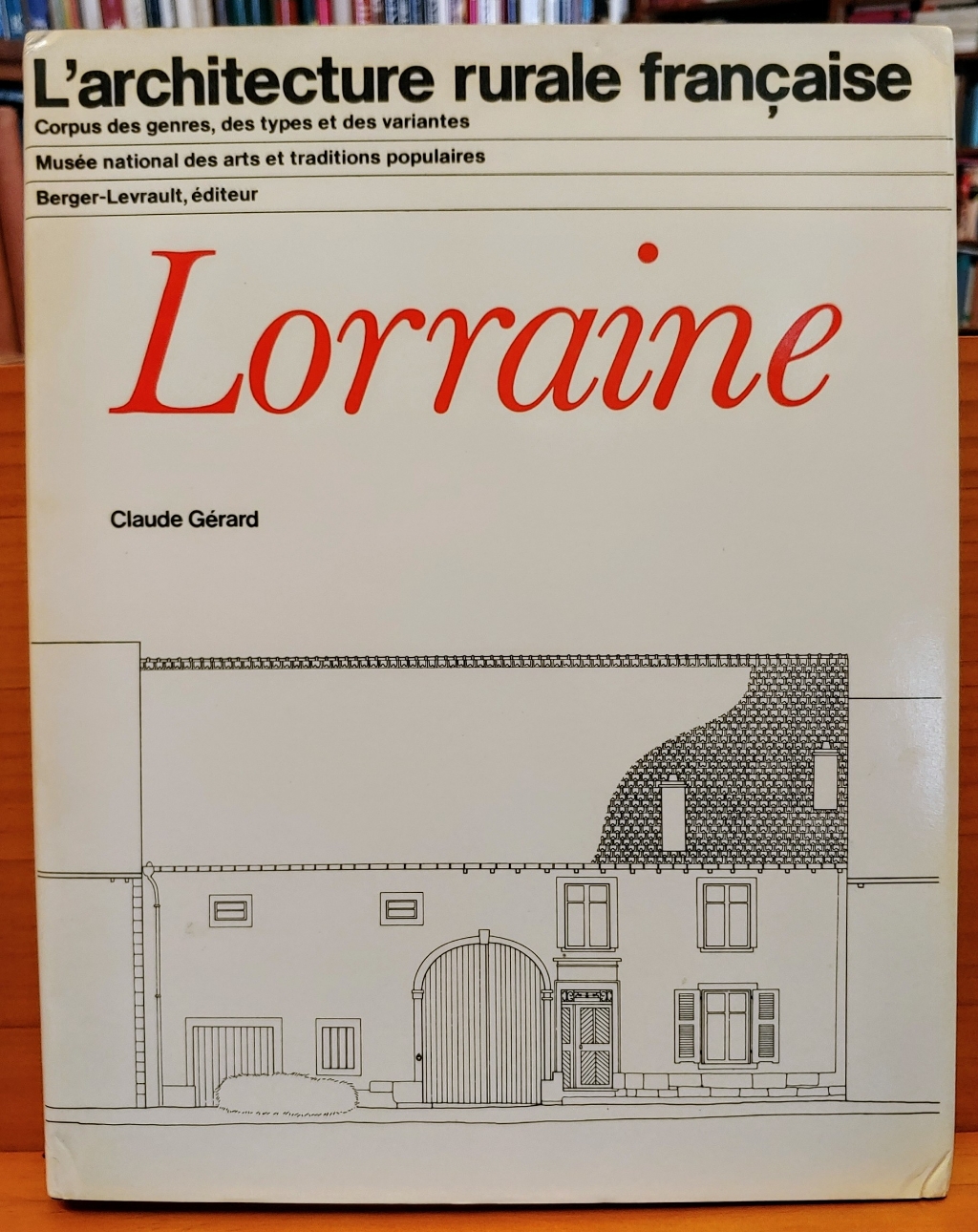
1982réf. 24394Paris, Berger-Levrault, 1982. 209 S., mit zahlr. Illustr., graph. Darst., Kt. 4°, OLwd., OSu.
1992A clean, unmarked book with a tight binding. Includes 40 ink drawings. Slight wear to cover.
réf. R100037623Non Renseigné. Non daté. In-12. Broché. Bon état, Couv. convenable, Dos satisfaisant, Intérieur frais. Carte en carton mince et souple. Bon état. . . . Classification : 251.32-Edifices
1981réf. 38862Ministère des Affaires culturelles/Direction générale du patrimoine Couverture souple Québec 1981
réf. 03240085.28C2Good. Volume XL: Part II. DJ heavily worn with chips tears and loss to edges. Boards show light shelf and corner wear; binding intact. Text shows occasional pencil marginalia but appears clean otherwise. hardcover
1999cm. 24 x 32, 446 pp. con numerose ill. n.t. Rilegato. 2580 gr. 446 p.
1993cm. 17 x 24, 528 pp. con numerose ill. n.t. in b.n. e a col. Rilegato. 1654 gr. 528 p.
2006215 pages with 396 colour and 187 black and white illustrations. "Discusses the most important trends in modern architecture and, at the same time, documents increasingly intensive exchanges on an international level, portraying outstanding, future-oriented museum buildings and projects from 2000 to 2010 on four continents... A closer look at twenty-six projects, either completed, planned or still under construction provides a broadly based overview of current museum architecture." - from dust jacket. Clean, bright and unmarked with very light wear. A high-quality copy. Book
réf. DADAX0071638326New unknown
1982Reprint of the 1976 revised edition, 48 pages, illustrated, maps, plan, family tree. eng
réf. DADAX041555926XNew unknown
réf. DADAX0367865491New unknown
2006réf. 3130501Bale: Editions Birkhäuser 1965-2006. Mit zahlreichen Illustrationen. Gr. 8° (22,5-25 cm). Orig.-Leinenbände mit goldgeprägtem Deckel und Rücken. [Hardcover / fest gebunden].
1965réf. 2540Couverture rigide Editions Birkhäuser 1965 Bâle 26x18,5 cm
1928réf. 0006337Stuttgart: Verlag Wedekind & Co. 1928. First edition. portfolio. Very Good. Tall quarto 164 pages grey cloth soiled This work focusses on new design work in Germany Austria Switzerland Belgium and Holland in 1927 which arose from the "Die Wohnung" exhibition which promoted new materials and new construction methods. It also supported new work by interior designers. All of it influenced by the Bauhaus. Verlag Wedekind & Co. unknown