Multiple ContributorsMareMagnum

1.738 Ergebnisse
1972Features: Nova Scotia, 1828; Notable Nova Scotians; You paint me a ship; Goldsmiths and silversmiths; Potters; Halifax Restorations; Furniture of Nova Scotia; Louisbourg - the emerging touchstone; Choice 18th century accents; Halifax - city in midpassage; Nova Scotia Museum; Places to remember; Textile Arts; Folk art in Cape Breton; A Pencil Sketch; Early Buildings; Heritage in Printing; Glass; Artists and their pictures. Average wear. Faint phone number in pencil on front cover else unmarked. Sound copy. Magazine
1919Best.-Nr. 1511176Dresden, Meinhold, 1919. M. 6 doppels. (3 gef.) Taf. u. 602 Abb. 1 Bl., 504 S. Neuer Lwdbd (St. u. Sign. auf Titel).
1907Best.-Nr. 1033888Frankfurt/Main, H. Keller, 1907. 4to. 20, 297 S. m. 256 Abb. im Text u. auf Taf., 1 gefalt. Farbkarte. OHlwd (Bibl.-Expl. m. Rsign., St. a. Titelrücks.).
1926Best.-Nr. 1196577Münster i. W. Stenderhoff, 1926. 4to. 6, 278 S. m. 452 Abb., 2 farbige Karten (davon 1 gefaltet). Gold- u. farbgeprägter OLwdbd (etwas beschabt u. bestoßen, Außengelenk m. kl. Einrissen, mehrf. gest., Bibl.-Tasche a. hint. Spiegel).
1910Best.-Nr. 1129143Münster, Schöningh, 1910. 4to. 4 Bl., 26 S. m. 18 Abb. im Text u. auf 6 Taf., 3 Karten. OBr. (unaufgeschnitten).
1936Best.-Nr. 1116091Münster, Aschendorff, 1936. 4to. 3 Bl., 192 S. m. 204 Textabb., 1 Karte. OHlwd (Bibl.-Expl. m. Rsign., St. a. T.).
1932Best.-Nr. 014774Boulogne André Bloc 1932 In-4 spirale
1759Best.-Nr. 12374Lyon, Imprimerie d’Aimé Delaroche, 1759 ; in-4 carré, broché ; 141, (1) pp., (1) f. blanc, couverture muette de papier marbré.
1848Best.-Nr. 6655Paris, L. Mathias, 1848 ; in-8, broché ; X, (2), 299 pp., 2 tableaux dépliants hors-texte, 4 grandes planches hors-texte gravées par Dulos.
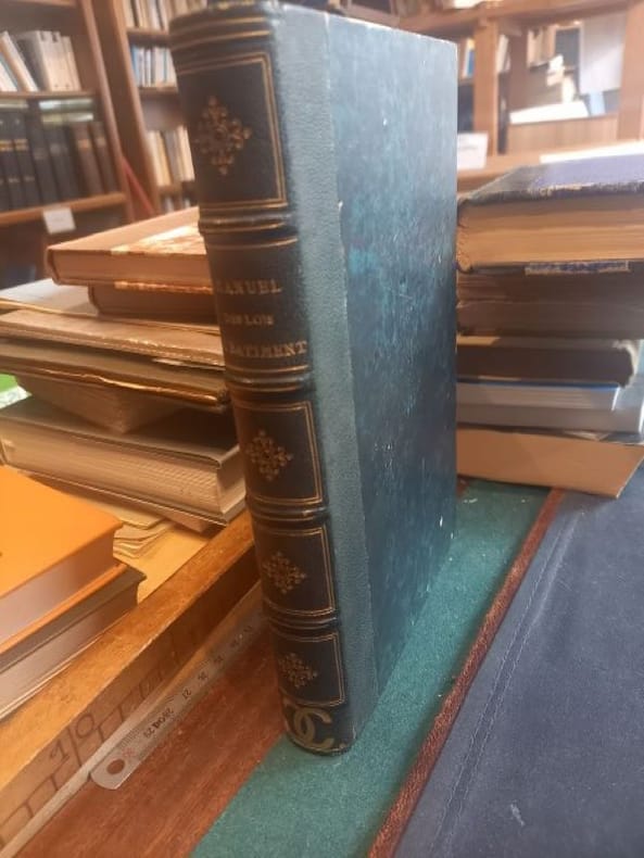
1863Best.-Nr. LCI-5714Paris A. Morel et Cie 1863 1 in -8 demi chagrin vert dos orné
2012New New Turkish Original bdg. Dust wrapper. Large 8vo. (23 x 23 cm). In Turkish. 2 volumes set: (1104 p.), color ills. 1 folding map. Sakli degerlerin kahraman sehri Maras: Kahramanmaras Beylik ve Osmanli dönemi sivil mimarlik eserleri. 2 volumes set.
1991Best.-Nr. 2081402110005084Published by Eishoji 1991. Soft Cover. Fine. Number of books: 1 Published by Eishoji paperback
1990Best.-Nr. 2092902137704327Repair Committee 1990. Soft Cover. Fine. The book is in fine condition. Repair Committee paperback
1987Best.-Nr. 2092902137702596Toyoke Shrine 1987. Soft Cover. Fine. The book is in fine condition. Toyoke Shrine paperback
1994Best.-Nr. 2092902137702517Kura kura tera 1994. Soft Cover. Fine. The book is in fine condition. Kura kura tera paperback
1977Best.-Nr. 2092902144201405Hyogo Prefecture Yamaminami Town 1977. Soft Cover. Fine. The book is in fine condition. Hyogo Prefecture Yamaminami Town paperback
1909Very Good Turkish, Ottoman (1500-1928) Original color map on cloth. A little foxing on cloth. Very good. Folded. Oblong atlas folio. (50 x 67 cm). In Ottoman script. Scale: 1/300.000. Map of Ottoman Kayseri printed in its period. No publisher and map-maker. Physical geography of Kayseri city and its around. It shows Kayseri, Sultan Sazligi, mountains and hills, Malatya borders, etc.
1916Very Good Turkish, Ottoman (1500-1928) Original color map. Folded. Oblong atlas folio. (50 x 60 cm). In Ottoman script. [MAP of EAST ANATOLIA] Malatya - Divrigi, Mancinik, Adiyaman, Harput. Shows Malatya, Adiyaman and Kharpout region; Firat River (Euphrates), Yazi Düzü, Erguvan etc. Scale: 1/200.000. This is one the serie of the Bonn projection maps which are the first map series in modern techniques in Turkey and the Ottoman Empire. In order to produce these maps covering Turkish territory, Reconnaissance Branch was incorporated into The Mapping Commission. The maps were produced in the datum based on the latitude and longitude of Ayasofya Mosque in equal area Bonn Projection. The field works for the 123 sheets covering the country were conducted by 76 staff. The production was completed in 18 years starting from east west. Field works continued without stopping except in years 1914 and 1920. This map series called also reconnaissance maps contributed a lot to producing 1:25.000 scale maps. Hegira: 1332 = Gregorian: 1916. Not description on map-maker. According to Türkezer & Çobanoglu: History of Mapping in Turkey-1:200.000 Scale Maps, cartographer of this map is Kambay, Cemal.
1908Very Good German Original color map on cloth. A little foxing on cloth. Very good. Folded. Folio. (57 x 46 cm). In German with Turkish place names in Latin script. 40-42 Egri Palanka (Kriva Palanka): Serbien, Bulgarien, Türkei. Serbian, Bulgarian and Turkish borders. Map shows from south to the north: Tikves, Vardar River (Axios), Radovista, Stip (Istib), Ezevopolje, Plackovica, Bereketli, Mustafa Ovasi (Mustafa Plain), Kliseli, Kocana, Vinica, Egri (Kriva) Palanka, Kozjak, Sveli Ilija, Kjustendil (Köstendil), et alli. 39'30' östlich v. Ferro. (Longitude given from Ferro- El Hierro island).
2007New New English Original bdg. Dust wrapper. Folio. (34 x 24 cm). In English. 380 p., color and b/w ills. Architectureal achievements of King Abdul-Aziz in the honored area of Makkah, 1924-1953. "This book includes a general survey of the architectural accomplishments of King Abdul-Aziz in the Honored Area of Makkah. Those works include the Holy Kaba, the Al-Haram Mosque, the Zamzam Well, the Mosques, the Water Fountains, the Wells, the Water Dams, Road making, field opening and Airport construction projects, Road stops, Hospitals and others. This book records most of such works of restoration and building. It is also supported by pictures and drawings that shed some light on those projects".
2015New New English Original bdg. Dust wrapper. Folio. (32 x 24 cm). Edition in Turkish. 411 p., many color and b/w ills. Osmanli Imparatorlugunda çevre ve sehir. [= Environment and urbanism in the Ottoman Empire]. Contents: Urbanism and environment in the pre-Islamic Turkic peoples, AHMET TASAGIL.; Islam and the environment, EROL ÖZVAR.; Nature, RECEP KARAKAYA.; Animals, M. MERT SUNAR.; Agriculture, FEHMI YILMAZ.; Disasters, SELIM KARAHASANOGLU.; People, EKREM TAK.; Industry and industrialization, EROL ÖZVAR, FEHMI YILMAZ.; Ottoman artisans and the state, MEHMET GENÇ.; Ottoman cities and urbanization, YUNUS UGUR.; The urbanization process in Southwest Anatolia, ZEKÂI METE.
1998New English Paperback. 4to. (33 x 33 cm). In English and Turkish. 243 p., color and b/w ills. Erkut Sahinbas. 1968-1998 Mimarlik çalismalari.= 1968-1998 Architectural works. Introduction by C. Abdi Güzer. Sahinbas was born in Istanbul. Graduated from the Tarsus American College in Mersin in 1956. Received his Bachelor of Architecture degree in 1961 from the Middle East Technical University (METU), Ankara. Due to the influence of his proffessors J. Otto Spreckhelsen and Jakko Kaikkonen in METU, he developed an interest in Scandinavian Architecture and worked at the Ahti Korhonen-Eric Krakstorm Office in Copenhagen, Denmark in 1961 -1965. Received his Master of Architecture degree in 1964 from the Danish Royal Academy in Copenhagen where he taught architectural design with Professor Jorgen Bo. After returning back to Ankara in 1966, he taught at METU until 1975. Established his private office in 1968 and has been practicing architecture ever since. Served as the Chairman of the Association of Turkish Architects in Private Practice, between 1996 - 1998. Won the National Architectural Award of the Chamber of Turkish Architects twice; first in 1992 with the Bilkent Amfitheatre project, than in 1996 with the Bilkent University Library Annex.
1916Very Good Turkish, Ottoman (1500-1928) Original color map. Oblong atlas folio. (51 x 61 cm). In Ottoman script. Folded. Topography and toponyms of East Anatolia: Shows Erzurum region, Hasankale (Pasinler), Oltu, Hinis, Karakilise and surroundings. Scale: 1: 200.000. This is one the serie of the Bonn projection maps which are the first map series in modern techniques in Turkey and the Ottoman Empire. In order to produce these maps covering Turkish territory, Reconnaissance Branch was incorporated into The Mapping Commission. The maps were produced in the datum based on the latitude and longitude of Ayasofya Mosque in equal area Bonn Projection. The field works for the 123 sheets covering the country were conducted by 76 staff. The production was completed in 18 years starting from east west. Field works continued without stopping except in years 1914 and 1920. This map series called also reconnaissance maps contributed a lot to producing 1:25.000 scale maps. Rare.
1917Very Good Turkish, Ottoman (1500-1928) Original color map. Folded. Oblong atlas folio. (50 x 60 cm). In Ottoman script. Shows Eastern and Southeastern parts of Anatolia; Maras, Elbistan, Birecik and Kilis areas. Hegira: 1333 = Gregorian: 1917. Not description on map-maker.
1916Very Good Turkish, Ottoman (1500-1928) Original color map. Folded. Oblong atlas folio. (50 x 60 cm). In Ottoman script. [MAP of EAST ANATOLIA and ARTVIN] Oltu, Artvin, Ispir, Hasankale. Shows Artvin, Ispir, Hasankale and Kars city. Scale: 1/200.000. This is one the serie of the Bonn projection maps which are the first map series in modern techniques in Turkey and the Ottoman Empire. In order to produce these maps covering Turkish territory, Reconnaissance Branch was incorporated into The Mapping Commission. The maps were produced in the datum based on the latitude and longitude of Ayasofya Mosque in equal area Bonn Projection. The field works for the 123 sheets covering the country were conducted by 76 staff. The production was completed in 18 years starting from east west. Field works continued without stopping except in years 1914 and 1920. This map series called also reconnaissance maps contributed a lot to producing 1:25.000 scale maps. Hegira: 1332 = Gregorian: 1916. Not description on map-maker.