Multiple ContributorsMareMagnum

1431 risultati
1976119 pages. Features: Studying British Columbia - A Recent Burgeoning; The Indians of the Northwest Coast; Discovering Totem Poles; Cook at Nootka - The Engraved Record; Preserving a Precious Heritage - The Totem Pole; An Interview with Bill Reid; Fort St. James; The Royal Engineers in British Columbia; The Restoration of Historic Barkerville; The Architecture of Samuel Maclure and Francis Mawson Rattenbury; The Restoration of British Columbia's Parliament Buildings; British Columbia Painters; A Chinese Herbalist in British Columbia; Artifacts of British Columbia Technology; Domestic Interiors; Two B.C. Samplers - Susan Irving and Mary Irving; Early Banks, Coins and Stamps of British Columbia; Restoring Victoria; Conserving Vancouver; Heraldic Stained Glass in Vancouver; Mission Churches; Maritime Legacy; The Crystal Glass Company - British Columbia's First Glass Factory; Chinese Decorative Art in British Columbia; and more. Moderate wear. Prior owner's name atop front cover. Sound copy. Magazine
196239 pages. Features: My holiday ended in a red jail - Milorad Cop went to see his son in Prague and was accused of spying; Marie St. Laurent at the Florida Message Centre helps Canadians down south; Skiing for Eight - On a Budget: Fun-filled weekends are a way of life for the Moore Family (son Tim went on to great success with AMJ Campbell Van Lines); Arlene Phillips Braves the Heights - goes atop buildings with her high-steel worker father Joey Phillips, one of the hereditary chiefs of the Caughnawaga Indian reservation near Montreal; I live for work and love says Melina Mercouri - the star of Never on Sunday; Seat of Trouble - comic; Great colour photos with story about NHL goalies Gump Worsely and Jacques Plante; The Rockefellers Change with the Times - the fourth generation of the family has a different approach to wealth - inclues 8 interesting black and white photos; The Fleet Nobody Wanted - British Columbia's government-owned ferry service (B.C. Ferries); Nipper by Doug Wright. Many great colour ads. Average wear. Unmarked. Magazine
196247 pages. Features: Prince Philip - Royal Patron of Science; Do-it-Yourself Broadway Musicals - twice a year a part-time Hamilton group stages a glamorous and glittering show - the Hamilton Theatre, Inc.; Winnipeg girl who belongs to Paris - Elaine Kennedy Gombault; Grasstronaut - an old space suit relieves a circulatory ailment and a man once bedridden can now walk again - John Pastor of Santa Monica; Raymond Massey Triumphs as a Doctor; Strong Arm Men - a wrist-wrestling contest held in Quebec produces two champions - O'Neil Corriveau and Andre Desbiens; A New Way with Glass - Artist Eric Wesselow creates stained glass with depth and dimension; Campaigning for Laughs - a cross-section of candidates tells about politics' lighter side - stories and pictures from eight political figures; Warren Spahn shows us baseball's $80,000 screwball; Britain brightens up - improving the appearance of buildings; Nipper by Doug Wright. Average wear. Unmarked. Book
196632 pages. Features: The C.N.R. gambles on passenger service - article with photos; Rita Tushingham - article and colour photos - filming of "The Trap"; Blair Richardson - The Hard-Punching Bible-Belter - article with photos of Canada's middleweight boxing champion; First Came the Vikings; When Our Parliament Buildings Burned - on a winter night fifty years ago a dreadful fire broke out - article with photos; and more. Moderate wear. Unmarked. A quality vintage copy. Magazine
194550 pages. Many reproductions of black and white photos. Printed upon glossy stock. Features: Christmas at Fort Pitt; Hobby for Booklovers - the Canadiana book collection of D'Alton C. Coleman; The House That Mac Built - the log buildings erected by the North West Company in the north and west originated in French Canada - interesting photo-illustrated article on early building styles; Redcoats at Fort Garry - nearly a century ago, 300 foot soldiers, with artillery and engineers, came from England to Red River, brought by the HBC to stand on guard for Canada; The Cowichan Sweater - photo-illustrated article; Mining in the North; Sled Journey - photo study; Peter Rindisbacher - Red River Artist; Chief Factor Dr. John McLoughlin's Letters, 1844-46; Arctic fur show - photos of Eskimo ladies wearing fur fashions; Atmospheric Defence - how HBC 'brass-pounders' heled guard our northern approaches during WWII - fascinating photo-illustrated article; Veteran of Two Wars - the good ship 'Nascopie'; Vintage back cover two-colour (orange and black) ad for the HBC's Imperial Mixture of tinned pipe tobacco. Unmarked with moderate wear. A sound vintage copy. Book
194328 pages. Features: Photos of the grim terrain in Tunisia - craggy heights and perilous ridges; Photos of lighter moments in Tunisia; Mules solve Mountain Problems in Tunisia; Unconventional Pictures of Three Famous Generals in Tunisia - General Montgomery, General Alexander, and Lieut.-General George Patton seated on a hillside watching his men advancing to attack; The House of Lords Roll of Honour - photos of thirteen legislators lost in action; The Commons Roll of Honour - photos of nine legislators lost in action; Photo of the first launching of land bombers at sea from the deck of the U.S. aircraft carrier "Hornet"; Photos related to Doolittle's famous raid on Tokyo; R.A.F. Bombers lay waste to 100 acres of factory buildings in Stettin - five aerial photos; The Great Struggle in Tunisia - article by Cyril Falls; The British Assault on Longstop Hill and Bou Arada Bastions - six photos; Centerfold illustration of a British 3 inch mortar in action in Tunisia giving close support to infantry; Photos of George Edward Kruger-Gray, Commander J.W. Linton, Rear-Admiral Philip John Mack and Viktor Lutze; Nice large illustration of Britain's All-Wooden Mosquito Bomber - includes partial cutaway view; Photos of construction of oil pipeline from Texas to New York via Norris City, Illinois; Photo of Roosevelt with Mexican President Camacho; Photos of General Sikorski, Acting Wing Commander Hugh Malcolm and Sir Basil Brooke; Four *Amazing* large aerial photos show the fate of Italy's last two heavy cruisers, "Trieste" and Gorizia"; and more. Unmarked. Average wear. Book
1750rif. 27721LONDRES 1750 une vue d'optique en couleurs, GRAVÉE A L'EAU-FORTE ET AQUARELLE SUR PAPIER DE FORMAT: 44,5 x 29 cm., 1750 Londres Publish'd according Act of Parliament, sans nom d'Editeur,
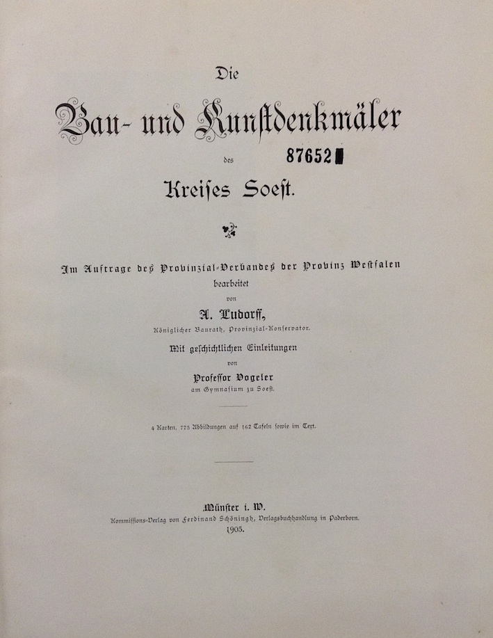
1905rif. 620695Münster, Schöningh, 1905. 4to. 4 Bl., 181 S. Mit zahlreichen Textabbildungen, 162 Tafeln, teilweise in Lichtdruck u. 3 Karten. Halbleder d. Zeit (etwas bestoßen, Rücken u. Ecken berieben). [2 Warenabbildungen]
1835rif. 0009264London: John Weale Architectural Library 1835 / 1836. First edition. Good. 8vo 476 pages plates marginal tear in leaf 169/170; full polished calf extra-gilt spine extremities worn. Note: attempted collation but very complicated despite lengthy mixed-up descriptons in the text and duplicate numberes on different plates. The title-page is dated 1835; the engraved frontispiece is dated 1836; AND another third title-page is 1836 - but with a variant title !! Embracing Account and Illustrations of St. Stephen's Chapel and its Cloisters . Westminster Hall . The Court of Requests . The Painted Chamber &c &c. This work was inspired by the burning of the Houses of Parliament in 1834. It is illustrated with 48 engravings - 8 more and 100 pages more than promised to their subscribers. John Weale, Architectural Library unknown
2012rif. DADAX146846583XSpringer 2012-11-25. Softcover reprint of the original 1st ed. 1988. paperback. New. 6.00x2.23x9.00. Buy with confidence. Excellent Customer Service & Return policy. Springer paperback
1909Very Good Turkish, Ottoman (1500-1928) Original color map on cloth. A little foxing on cloth. Very good. Folded. Oblong atlas folio. (66 x 72 cm). In Ottoman script. Scale: 1/210.000. Ottoman sanjaks in Albania, Macedonia and Greece. A rare Ottoman map of Balkans with Turkish place names for the period of pre-Balkan Wars, (1912-1913). Very important for onomastics and historical geography.
1909Very Good Turkish, Ottoman (1500-1928) Original color map on cloth. A little foxing on cloth. Very good. Folded. Oblong atlas folio. (66 x 72 cm). In Ottoman script. Scale: 1/210.000. Ottoman sanjaks in Balkans, Bulgaria. A very detailed map of Old Zagora. A rare Ottoman map of Balkans with Turkish place names for the period of pre-Balkan Wars, (1912-1913). Very important for onomastics and historical geography. Extremely rare.
1909Very Good Turkish, Ottoman (1500-1928) Original color map on cloth. A little foxing on cloth. Very good. Folded. Oblong atlas folio. (66 x 72 cm). In Ottoman script. Scale: 1/210.000. Ottoman sanjaks in Balkans, Bulgaria. A very detailed map of Plovdiv and Haskovo. A rare Ottoman map of Balkans with Turkish place names for the period of pre-Balkan Wars, (1912-1913). Very important for onomastics and historical geography. Extremely rare.
1909Very Good Turkish, Ottoman (1500-1928) Original color map on cloth. A little foxing on cloth. Very good. Folded. Oblong atlas folio. (66 x 72 cm). In Ottoman script. Scale: 1/210.000. Ottoman sanjaks in Balkans, Bulgaria. A very detailed map of Plovdiv. A rare Ottoman map of Balkans with Turkish place names for the period of pre-Balkan Wars, (1912-1913). Very important for onomastics and historical geography. Extremely rare.
1909Very Good Turkish, Ottoman (1500-1928) Original color map on cloth. A little foxing on cloth. Very good. Folded. Oblong atlas folio. (66 x 72 cm). In Ottoman script. Scale: 1/210.000. Ottoman sanjaks in Balkans, Macedonia. A very detailed map of Old Zagora. A rare Ottoman map of Balkans with Turkish place names for the period of pre-Balkan Wars, (1912-1913). Very important for onomastics and historical geography. Extremely rare.
1918Very Good French Original b/w map. Oblong: 57x66 cm. In French. Folded. It includes for pieces: Title, structure physique de la region, Thessalie and main part which shows the area from Ohrida Lake on the west to Golf of Thessaloniki on the east. [MAP] Mission antipaludique de l'Armee d'Orient: Carte des indices endemiques Macedoine, Thessalie, Serbie meridionale, confins albanais 1917 et 1918.
1997This book describes and explains joints made exclusively from wood, no glue/adhesives or metal connectors. There are many more examples than you think - well illustrated. With Bibliography, Index of Persons and Buildings, Index of Places and Subject Index. Black covers with silver title on spine
rif. Norberg-Schulz, ChristianNot in perfect condition. unknown
1894Very Good Turkish, Ottoman (1500-1928) Original color lithograph map. Folded. Oblong folio. (35 x 52 cm). In Ottoman script (Old Turkish with Arabic letters). It shows Sudan and West Africa, Atlas Ocean shores, Sahra Desert, and other parts of Africa. Scale: 1:15.000.000. A very detailed and attractive map. Slightly fading. Otherwise a very good copy. Dated Hegira: 1310 = [Gregorian 1894]. Taken from his attractive atlas titled "Yeni cografya atlasi. [i.e. New Geographical Atlas]". The cartographer, Ali Seref, or Hafiz Ali Seref (or Esref) Pasha (1840-1907) was an Ottoman soldier and mapmaker who was schooled in Paris as a cartographer around 1862. While in Paris he published his first atlas with 22 maps, called the Yeni atlas. Upon his return to Istanbul, he became the chief cartographer at the Matbaa-i Amire Printing Press in Beyazit. Chipping on extremities. Slight foxing. Overall a good copy. Not in OCLC.; Not in TBMM Map Collection.
1876Very Good German Original color map on cloth. A little foxing on cloth. Very good. Folded. Oblong folio. (45 x 51 cm). In German. Shows N. Enyed, Zalathna, Mediasch, Hermannstadt, Hatszeg, Petroseni, Ôzt River, etc. Scale: 1/300,000. Sibiu (Sibiiu - Hermannstadt - Nagyszeben) is a city in Romanian Transylvania. The city straddles the Cibin River, a tributary of the river Olt. The first official record referring to the Sibiu area comes from 1191 when Pope Celestine III confirmed the existence of the free prepositure of the German settlers in Transylvania, the prepositure having its headquarters in Sibiu, named Cibinium at that time. In the 14th century, it was already an important trade center. As of the year 1376, the craftsmen were divided into 19 guilds. Sibiu became the most important ethnic German city among the seven cities that gave Transylvania its German name Siebenbürgen (literally "Seven Citadels"). It was home to the Universitas Saxorum (Community of the Saxons), a network of pedagogues, ministers, intellectuals, city officials, and councilmen of the German community forging an ordered legal corpus and political system in Transylvania since the 1400s. During the 18th and 19th centuries, the city became the second -and then the first most important center of Transylvanian Romanian ethnics. The first Romanian-owned bank had its headquarters here (The Albina Bank), as did the ASTRA (Transylvanian Association for Romanian Literature and Romanian's People Culture). After the Romanian Orthodox Church was granted status in the Habsburg Empire from the 1860s onwards, Sibiu became the Metropolitan seat, and the city is still regarded as the third-most important center of the Romanian Orthodox Church. Between the Hungarian Revolution of 1848 and 1867 (the year of the Ausgleich), Sibiu was the meeting-place of the Transylvanian Diet, which had taken its most representative form after the Empire agreed to extend voting rights in the region (Source: Wikipedia). A sheet of the collection of 'The general map of Central Europe'. appeared in the years between 1873-1876 with the work of Joseph Ritter von Scheda, (1815-1888) who was a general, geographer, and cartographer.
1990Book is in excellent condition. Binding is solid and square, covers have sharp corners, exterior shows no blemishes, text/interior is clean and free of marking of any kind. 143 pages, book concerns firm of Howe, Manning and Almy, designers of over 500 projects, producing sturdy, comfortable and adaptable buildings. designers of the first low-income public housing in Boston.
1911Very Good Turkish, Ottoman (1500-1928) Original color map on cloth. Oblong atlas folio. (49 x 60 cm). Toponyms in Turkish with Arabic letters. In Ottoman script. Scale: 1/25.000. [MAP of ISTANBUL / CONSTANTINOPLE] Küçükköy, Petnahor, Makriköy, Kagidhane [Kagithane]. A rare Istanbul map including some old Byzantine toponyms.
1910Very Good Turkish, Ottoman (1500-1928) Original color litographed plate. 18x41 cm. In Ottoman script (Turkish with Arabic letters). Two-paged plate. A rare color lithographed plate from Mehmed Esref's 'Muhtasar Umûmî Atlas'. A very detailed plate showing Europe's and the US' demographic structure in 1922 with very attractive detailed statistical schemes. Besides the usual demographic scheme, there are 28 European states on the plate: Germany, France, Spain, Russia (Soviets), England, Italy, Poland, Romania, Holland, Norway, Estonia, Czechoslovakia, Austria, Switzerland, Lithuania, Yugoslavia, Portugal, The United States of America, Hungary, Sweden, Denmark, Latvia, Belgium, Greece, Finland, Avrupa-yi Türkî [i.e. Turkey in Europe], Albania. Mehmed Esref (1846-1912) was a Turkish / Ottoman military cartographer and educator in the Ottoman military school [Mekteb-i Harbiye] active in the first part of the 20th century, and he prepared and published many separate maps and atlases more besides this one.
rif. DADAX3927258601Brand: Gingko Press 0000-00-00. hardcover. New. 9.25x1.00x12.25. Buy with confidence. Excellent Customer Service & Return policy. Brand: Gingko Press hardcover
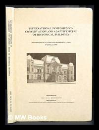
1995rif. 424672Tainan Taiwan : Dept. of Architecture National Cheng Kung University 1995. 1st edition. Hardcover. Near fine copy in the original colour-printed boards. Remains particularly well-preserved overall. Physical description; 208p. Notes; Sponsored by Chen Chung Ho Foundation organized by the Dept. of Architecture National Cheng Kung University and held at Kaohsiung and Tainan in March 1995. Tainan, Taiwan : Dept. of Architecture, National Cheng Kung University hardcover