1.728 Ergebnisse
1917Very Good Turkish, Ottoman (1500-1928) Original color map. Folded. Oblong atlas folio. (50 x 60 cm). In Ottoman script. Shows Eastern parts of Anatolia; Siverek, Urfa city and border of Diyarbakir and Adiyaman cities; Siverek; Harput (Kharpout); et alli. Scale: 1/200.000. Hegira: 1333 = Gregorian: 1917. Not description on map-maker. This is one the serie of the Bonn projection maps which are the first map series in modern techniques in Turkey and the Ottoman Empire. This is one the serie of the Bonn projection maps which are the first map series in modern techniques in Turkey and the Ottoman Empire. In order to produce these maps covering Turkish territory, Reconnaissance Branch was incorporated into The Mapping Commission. The maps were produced in the datum based on the latitude and longitude of Ayasofya Mosque in equal area Bonn Projection. The field works for the 123 sheets covering the country were conducted by 76 staff. The production was completed in 18 years starting from east west. Field works continued without stopping except in years 1914 and 1920. This map series called also reconnaissance maps contributed a lot to producing 1:25.000 scale maps. Subasi is cartographer of this map according to Türkezer - Cobanoglu: History of Mapping in Turkey-1:200.000 Scale Maps.
2008Very Good Turkish Paperback. Roy. 8vo. (24 x 17 cm). In Turkish. [xiii], 98 p., numerous b/w plates. Istanbul'da tarihi yapilarda uygulanan temel sistemleri. Base systems of the historical buildings and monuments in Istanbul. Scarce.
Best.-Nr. 0428100856.Gpaperback. Good. Access codes and supplements are not guaranteed with used items. May be an ex-library book. paperback

1979Small white label (covering a price? a name?) on front end paper. No other marks or inscriptions. A very clean very tight copy with bright unmarked kingfisher blue boards and no bumping to corners. Dust jacket not price clipped or marked or torn or creased with extremely minor traces of sunning. Now protected in fully-removable transparent sleeve.
Best.-Nr. ARCH248C211Massin. In-8. Relié toilé. 113 pp., nombreux schémas noir et blanc in texte. Avec Jaquette.
Best.-Nr. ARCH249C211Massin. In-8. Relié toilé. 113 pp., nombreux schémas noir et blanc in texte. Avec Jaquette.
1843Very Good French Original b/w map. Oblong folio. (30 x 34 cm). In French. [MAP of BATTLE of MOHACZ] Bataille de Mohacz entre Louis Roi de Hongrie et Souleman I. le 28 Aôut 1526 (20 Silkide 932). Grave par U. Muschani. Atlas des batailles et sieges pour servir a l'histoire de l'Empire Ottoman, Pl. VIII. From "Nouvel atlas physique, politique et historique de l'Empire ottoman et des États limitrophes. / dressé. par J.-J. Hellert ; revu, corrigé et accompagné d'un commentaire historique, géographique et statistique. par Ge Heck, et L[é]on Plée..." printed in 1843. Engraved. Rare.
1843Very Good French Original b/w map. Oblong folio. (30 x 34 cm). In French. [MAP of OTTOMAN CRIMEA] Crimee. Gravee par U. Muschani. Shows Crimean peninsula, shores of Black Sea, Azov Sea, Kerkinit Golf, with its old places names. From "Nouvel atlas physique, politique et historique de l'Empire ottoman et des États limitrophes. / dressé. par J.-J. Hellert ; revu, corrigé et accompagné d'un commentaire historique, géographique et statistique. par Ge Heck, et L[é]on Plée..." printed in 1843. Engraved. Rare.
Best.-Nr. 17576Broché - 15,5 x 24 - 301 pp - année 1978 - Editions du temps - illustrations -
2000Best.-Nr. 103114Gingko Press, Corte Madera, 2000. 30 cm ; Pp.
197864 pages, illustrated, plans, family tree, bibliography. eng
198232 pages, illustrated. eng
197936 pages, illustrated, plan, bibliography. eng
197936 pages, illustrated, plan, bibliography, some light creasing. eng
198028 pages, illustrated. eng
198528 pages, illustrated. eng
197428 pages, illustrated, some light foxing. eng
199139 pages, illustrated, plans, bibliography. eng
1991Seventeen additional coloured photographs, a mix of small and postcard size have been very tastefully stuck in, are loose or tipped in. No other marks or inscriptions. No creasing to covers. A very clean very tight copy with bright unmarked boards and no bumping to corners. An extra guide to the Estate attached at rear. 45pp. Guide to the history and buildings of the Vyne Estate in Hampshire.
1925Best.-Nr. 015018Paris Beaux-arts 1925 In-4 agrafé, couverture illustrée
19736 pages, illustrated. eng
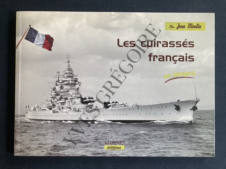
2006Best.-Nr. ABE-165429684270696 PAGES-OBLONG-26 CM X 19 CM-43 CUIRASSES-PHOTOGRAPHIES DE LA COLLECTION MARIUS BAR-COUVERTURE A RABATS-(EM522)
1981Best.-Nr. 24390Paris, Berger-Levrault, 1981. 297 S., mit zahlr. Illustr., graph. Darst., Kt. 4°, OLwd., OSu.
Best.-Nr. 0259031399.Gpaperback. Good. Access codes and supplements are not guaranteed with used items. May be an ex-library book. paperback
1972Book is in excellent condition with light shelfwear/spotting to covers only. Binding is solid and square, covers have sharp corners, exterior shows no blemishes, text/interior is clean and free of marking of any kind. Spiral bound, Oblong, illustrated card covers with white plastic coil binding, unpaginated, approx. 80 pp. Pen and ink drawings of historic houses , usually one drawing every other page with short history of the house. In 1972 a survey was conducted to assess the historic architecture of the town of Pictou. Entire 19th century neighborhoods have been preserved. 140 buildings were researched and 55 drawn for publication.