1747 risultati
2010New English Paperback. Pbo. Roy. 8vo. (24 x 17 cm). In Turkish with an abstract in English. [viii], 104 p., color and b/w ills. Oskvank Monastery.= Öskvank Manastiri (Ösk / Çamliyamaç Manastiri). Oskvank is a monastery from the second half of the 10th century located in the historic province of Tao, now part of the territory of Turkey. The main church, dedicated to St. John the Baptist, was built between 963 and 973. The Monasterys location in Turkey is in the village of Çamliyamaç, in northeastern Erzurum Province, bordering Artvin Province. Other sources describe it as an Armenian monastery. The monastery is disputed by the Armenians. Oshki monastery was a major centre of Georgian literature and enlightenment during the Middle Ages.
2015New New English Original bdg. Dust wrapper. Folio. (32 x 24 cm). Edition in Turkish. 411 p., many color and b/w ills. Osmanli Imparatorlugunda çevre ve sehir. [= Environment and urbanism in the Ottoman Empire]. Contents: Urbanism and environment in the pre-Islamic Turkic peoples, AHMET TASAGIL.; Islam and the environment, EROL ÖZVAR.; Nature, RECEP KARAKAYA.; Animals, M. MERT SUNAR.; Agriculture, FEHMI YILMAZ.; Disasters, SELIM KARAHASANOGLU.; People, EKREM TAK.; Industry and industrialization, EROL ÖZVAR, FEHMI YILMAZ.; Ottoman artisans and the state, MEHMET GENÇ.; Ottoman cities and urbanization, YUNUS UGUR.; The urbanization process in Southwest Anatolia, ZEKÂI METE.
1916Very Good Turkish, Ottoman (1500-1928) Original color map. 50x60 cm. In Ottoman script. Scale: 1/200000. Ottoman map of Eastern Anatolia. Bargiri, Hoy, Baskal'a, Malazgird. It shows Lake Erçek located on the east of Lake Van which is an endorheic salt lake in Van Province in eastern Turkey, about 30 kilometres; on north side, Bargiri place where the oldest district of Van city; on east, Turkish and Azerbaijani and Iranian borders and Hoy city of the West Azerbaijan; and on west, map shows Malazgird [Malazgirt]. This is one the serie of the Bonn projection maps which are the first map series in modern techniques in Turkey and the Ottoman Empire. In order to produce these maps covering Turkish territory, Reconnaissance Branch was incorporated into The Mapping Commission. The maps were produced in the datum based on the latitude and longitude of Ayasofya Mosque in equal area Bonn Projection. The field works for the 123 sheets covering the country were conducted by 76 staff. The production was completed in 18 years starting from east west. Field works continued without stopping except in years 1914 and 1920. This map series called also reconnaissance maps contributed a lot to producing 1:25.000 scale maps.
1909Very Good Turkish, Ottoman (1500-1928) Original color map on cloth. A little foxing on cloth. Very good. Folded. Oblong atlas folio. (50 x 67 cm). In Ottoman script. Scale: 1/300.000. Map of Ottoman Kayseri printed in its period. No publisher and map-maker. Physical geography of Kayseri city and its around. It shows Kayseri, Sultan Sazligi, mountains and hills, Malatya borders, etc.
1977No marks or inscriptions to contents. Very faint creasing to covers, none to spine. A very clean very tight copy with very lightly marked boards, minor rubbing to edges and no bumping to corners. 192pp.
1995A clean, unmarked copy with a tight binding. Full page black and white photos.
1982Reprint of the 1980 revised edition, 32 pages, illustrated, plan, family tree. eng
1997rif. 21631London, Thames and Hudson, (1997). OLn. 197 S. 4°. Mit zahlr. Abb. Gut erhalten.
200977 pages, illustrated. eng
1951No marks or inscriptions. No creasing to covers or to spine. A very clean copy with bright unmarked boards and no bumping to corners. 64pp. Introduction in English and French. Colour photograhs with dual language captions of Paris around 1951.
1989rif. 6096Hazan In-4 Couverture souple Paris 1989
1958rif. 27010Paris Klincksieck 1958 Fort In-8 467 pp
2004rif. 76399Flammarion 2004 In-4 relié 29 cm sur 24,5. 128 pages. Très bon état d’occasion.
1967rif. 81200Paris, 1967, 43x31 oblong, reliure toilée éditeur, 52p. Très bon état. Nombreux plans, calques, croquis, photographies. Voir table des matières en photo.
1981rif. 18800Paris Seuil 1981 In-8 carré 639 pp
1973rif. 19183Paris Seuil 1973 In-8 carré 639 pp
197616 pages, illustrated, chronology, plan. eng
198916 pages, illustrated, plan chronology, revised by J.A. Lewis and H.S. Ringrose. eng
rif. 1331698227.Gpaperback. Good. Access codes and supplements are not guaranteed with used items. May be an ex-library book. paperback
rif. 0266214800.Ghardcover. Good. Access codes and supplements are not guaranteed with used items. May be an ex-library book. hardcover
1928rif. 28744Partitions sur Paris Paname,Partitions sur les États-Unis Salabert 1928
1928rif. 28745Partitions sur les États-Unis Salabert 1928
1928rif. 28746Partitions sur Paris Paname,Partitions sur les États-Unis Salabert 1928
1962rif. BOOKS008196viii162p with 216 plates and index. Quarto 11" x 8 1/2" issued in beige cloth with black label and gilt lettering to spine. Limited to 3000 copies. Instituto de Investagaciones Estetecas Number 2. 2d edition. In 1939 the National University of Mexico UNAM published the book entitled Paseos Coloniales written by the great colonial art specialist Manuel Toussaint founder of the chair of colonial art and the Institute of Aesthetic Research at the UNAM. The book is in the words of the author a "…mosaic of articles written over twenty years". It consists of nineteen articles that serve as a "guide" for " visiting monuments a city or a part of history" from the comfort of your home or your library. The work is not of the academic caliber of some of his other works on Colonial Painting and Art but it provides information on the "discoveries" in an interesting and charming way full of emotion and youthful enthusiasm. Condition: Tape stain on front end paper. Jacket edge wear with some tears and chips lightly soiled and stained. A very good copy in like jacket. Universidad Nacional Autonoma de Mexico (UNAM) hardcover
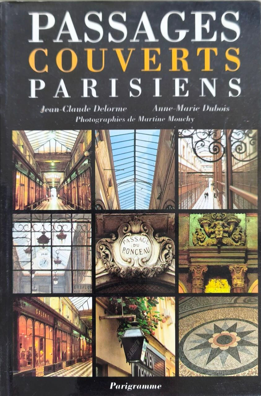
1999rif. 17699Parigramme 1999 189 pages 14x1 4x21cm. 1999. Broché. 189 pages.