835 resultados
194824 pages, with photographs by John S Gough, folded plan. eng
191848 pages. Black and white photos. Includes: separate group photos of staff and students of Claresholm School, Olds School, and Vermilion School, with name lists of staff; General Information; Admission Requirements; Regulations; Prizes; Details of Courses; Nice 5 panel fold-out photo of the "School of Agriculture and Demonstration Farm, Olds Alberta" (beneath which is a caption reading 'Buildings and Equipment are Identical at all Schools); Various photos of students at work and one shot of the Boys' Hockey Team. Blank 'Application for Admission to the Provincial School of Agriculture' remains affixed to perforated tab inside back cover. Prior owner's small ink stamp atop front cover else unmarked with moderate wear. Binding sound. A most wonderful item from Alberta's distant past! Book
1965ref. 2540Couverture rigide Editions Birkhäuser 1965 Bâle 26x18,5 cm
1928ref. 0006337Stuttgart: Verlag Wedekind & Co. 1928. First edition. portfolio. Very Good. Tall quarto 164 pages grey cloth soiled This work focusses on new design work in Germany Austria Switzerland Belgium and Holland in 1927 which arose from the "Die Wohnung" exhibition which promoted new materials and new construction methods. It also supported new work by interior designers. All of it influenced by the Bauhaus. Verlag Wedekind & Co. unknown
1982Reprint of the 1976 revised edition, 48 pages, illustrated, maps, plan, family tree. eng
1999cm. 24 x 32, 446 pp. con numerose ill. n.t. Rilegato. 2580 gr. 446 p.
1993cm. 17 x 24, 528 pp. con numerose ill. n.t. in b.n. e a col. Rilegato. 1654 gr. 528 p.
1981ref. 38862Ministère des Affaires culturelles/Direction générale du patrimoine Couverture souple Québec 1981
1992A clean, unmarked book with a tight binding. Includes 40 ink drawings. Slight wear to cover.
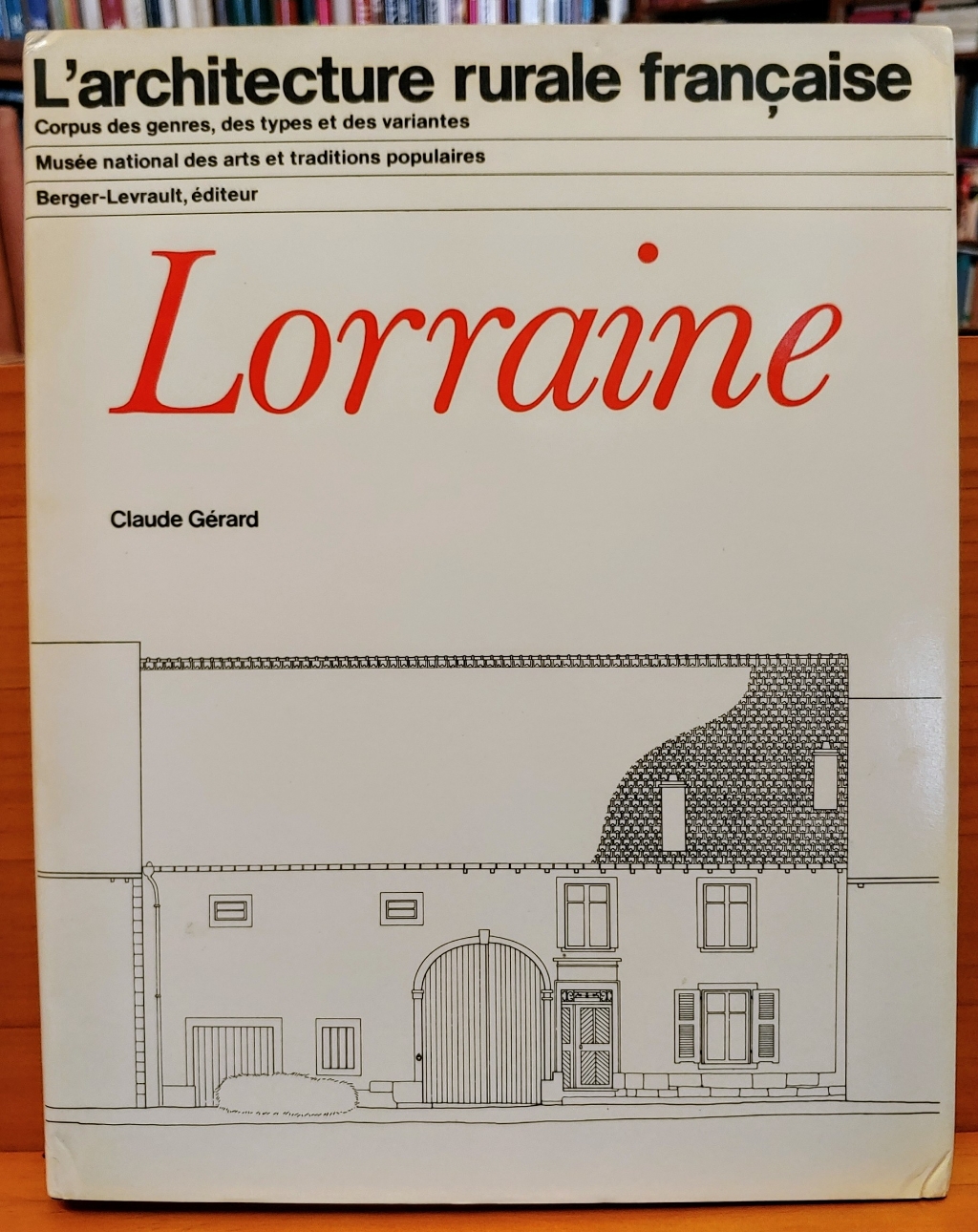
1982ref. 24394Paris, Berger-Levrault, 1982. 209 S., mit zahlr. Illustr., graph. Darst., Kt. 4°, OLwd., OSu.
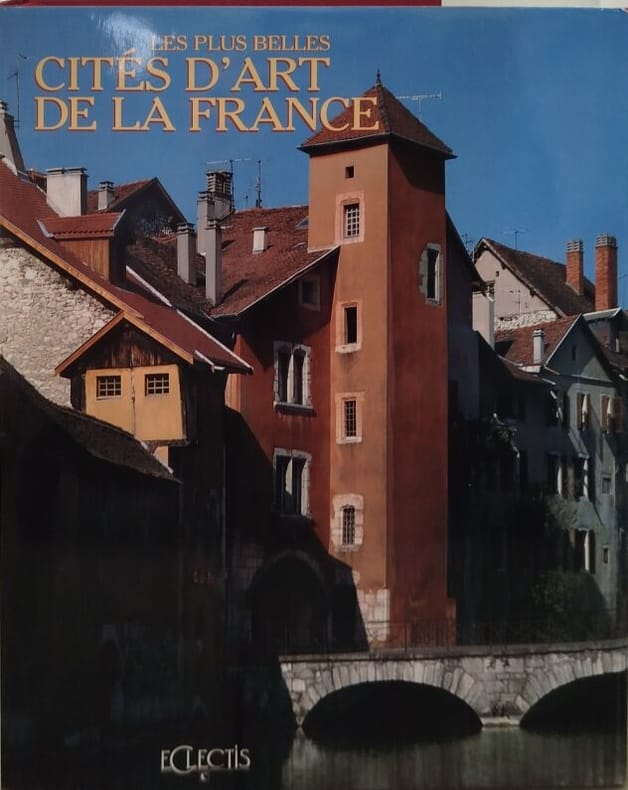
1992ref. 11541Eclectis 1992 400 pages in4 sous emboitage. 1992. Relié jaquette. 400 pages.
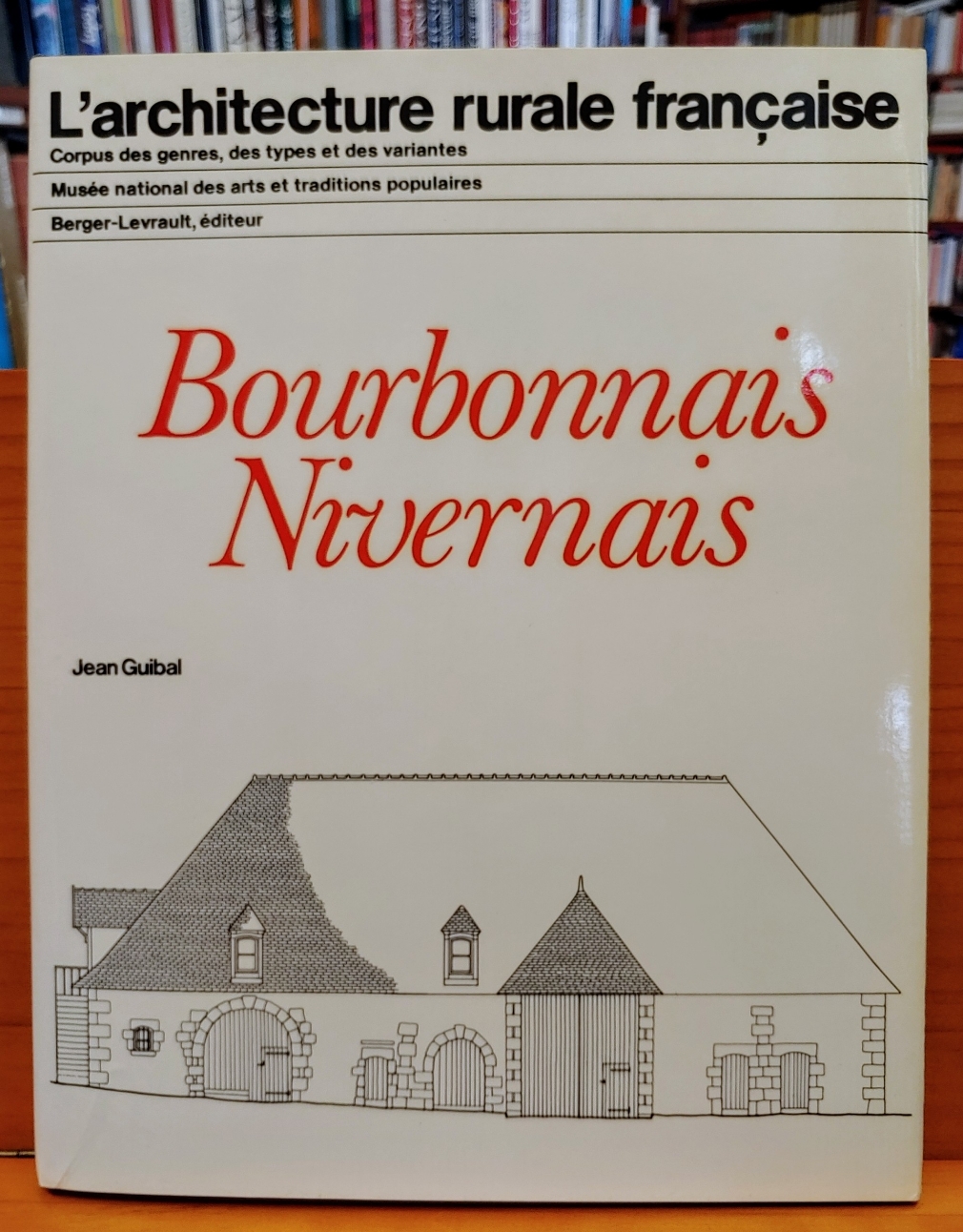
1981ref. 24399Paris, Berger-Levrault, 1981. 345 S., mit zahlr. Illustr., graph. Darst., Kt. 4°, OLwd., OSu.
1928ref. 123567London. Charles Griffin & Company Limited 1928. XVI,432 pages. Blue Original cloth binding. (Library copy). 23x16 cm
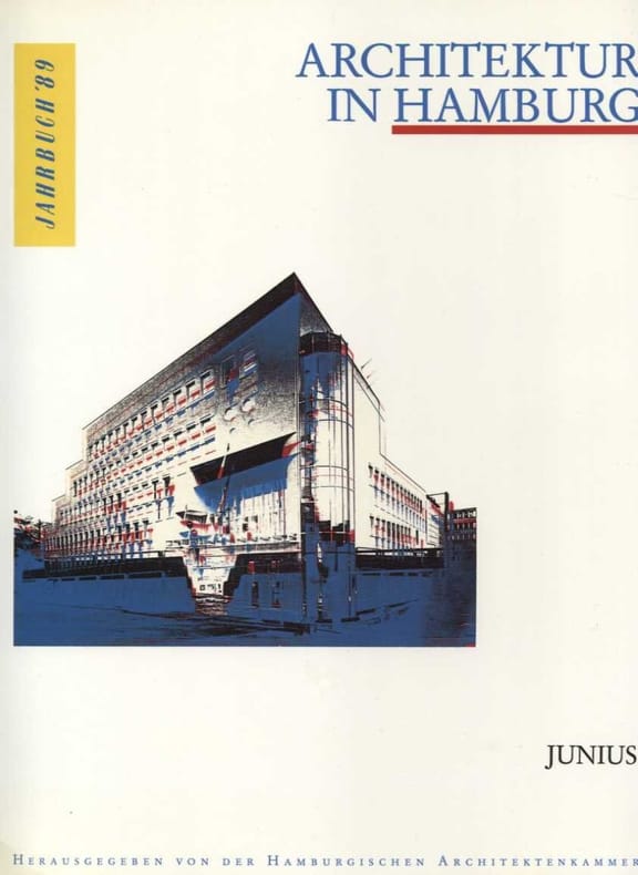
1999ref. 11545Junius Verlag 1999 156 pages 24x1 2x29 8cm. 1999. broche. 156 pages.
1998A clean, unmarked book with a tight binding. Tall format: 6 1/8"w x 13"h. 166 pages. Black and white photos - one to a page, faced with a quotation about New York on the opposite page. Small indentation to about six pages.
2000ref. 006850Dublin Ireland: O'Brien Pr 2000. 288pp/illus. 1st printing. A collection of 132 of the finest drawings by Austin Cooper 1759-1830 of Irelands architectural heritage. 288 pp with illustrations throughout. Illustrated end-papers. Clean. 1st Printing. Hard Cover. Fine/Fine. 4to - over 9¾" - 12" tall. O'Brien Pr hardcover
1920Very Good Turkish, Ottoman (1500-1928) Original color map of Erzurum city center and it environment. Folded. 69x42,5 cm. In Ottoman script. One sheet. Shows center of Erzurum city and topography environment. No scale info. Hegira: 1336 = Gregorian: 1920. Not description on map-maker. This is one the serie of the Bonn projection maps which are the first map series in modern techniques in Turkey and the Ottoman Empire. In order to produce these maps covering Turkish territory, Reconnaissance Branch was incorporated into The Mapping Commission. The maps were produced in the datum based on the latitude and longitude of Ayasofya Mosque in equal area Bonn Projection. The field works for the 123 sheets covering the country were conducted by 76 staff. The production was completed in 18 years starting from east west. Field works continued without stopping except in years 1914 and 1920. This map series called also reconnaissance maps contributed a lot to producing 1:25.000 scale maps. Extremely rare.
1909Very Good Turkish, Ottoman (1500-1928) Original color map on cloth. A little foxing on cloth. Very good. Folded. Oblong atlas folio. (66 x 72 cm). In Ottoman script. Scale: 1/210.000. Ottoman sanjaks in Albania and Greece. A rare Ottoman map of Balkans with Turkish place names for the period of pre-Balkan Wars, (1912-1913). Very important for onomastics and historical geography. Written 'Paris -French meridian- was accepted as the 0 meridian'. The Paris meridian is a meridian line running through the Paris Observatory in Paris, France-now longitude 2°20'14.03" east. It was a long-standing rival to the Greenwich meridian as the prime meridian of the world. Personal stamp of Muhiddin Pasha on cloth, under the printed descriptive texts. It's from the collection of him. Hasan Muhiddin Pasha [Çanga], (1866-1944), who was a lieutenant in Hedjaz Army of the Ottoman Empire in 1887. After he suppressed the rebellion in Yemen, 1891, his rank was promoted to the 'major'. After the Imam Yahya rebellion in Yemen, 1904, he prepared a report for the Ottoman government. He also took part in Ethiopia, Sudan, Yemen, Arabian Peninsula for various military duties. After promotion to division command, he was provincial president of CHP (Republican People's Party). He was a very important politic and diplomatic figure for the last period of Ottoman and early Republican Turkey. Not in Tooley. Extremely rare.
1909Very Good Turkish, Ottoman (1500-1928) Original color map on cloth. A little foxing on cloth. Very good. Folded. Oblong atlas folio. (66 x 72 cm). In Ottoman script. Scale: 1/210.000. Ottoman sanjaks in Albania, Macedonia and Greece. A rare Ottoman map of Balkans with Turkish place names for the period of pre-Balkan Wars, (1912-1913). Very important for onomastics and historical geography.
1909Very Good Turkish, Ottoman (1500-1928) Original color map on cloth. A little foxing on cloth. Very good. Folded. Oblong atlas folio. (66 x 72 cm). In Ottoman script. Scale: 1/210.000. Ottoman cities in Bulgaria. A rare Ottoman map of Balkans with Turkish place names for the period of pre-Balkan Wars, (1912-1913). Very important for onomastics and historical geography. Written 'Paris -French meridian- was accepted as the 0 meridian'. The Paris meridian is a meridian line running through the Paris Observatory in Paris, France-now longitude 2°20'14.03" east. It was a long-standing rival to the Greenwich meridian as the prime meridian of the world. Personal stamp of Muhiddin Pasha on cloth, under the printed descriptive texts. It's from the collection of him. Hasan Muhiddin Pasha [Çanga], (1866-1944), who was a lieutenant in Hedjaz Army of the Ottoman Empire in 1887. After he suppressed the rebellion in Yemen, 1891, his rank was promoted to the 'major'. After the Imam Yahya rebellion in Yemen, 1904, he prepared a report for the Ottoman government. He also took part in Ethiopia, Sudan, Yemen, Arabian Peninsula for various military duties. After promotion to division command, he was provincial president of CHP (Republican People's Party). He was a very important politic and diplomatic figure for the last period of Ottoman and early Republican Turkey. Not in Tooley. Extremely rare.
1909Very Good Turkish, Ottoman (1500-1928) Original color map on cloth. A little foxing on cloth. Very good. Folded. Oblong atlas folio. (66 x 72 cm). In Ottoman script. Scale: 1/210.000. Ottoman sanjaks in Balkans, Bulgaria. A very detailed map of Old Zagora. A rare Ottoman map of Balkans with Turkish place names for the period of pre-Balkan Wars, (1912-1913). Very important for onomastics and historical geography. Extremely rare.
1909Very Good Turkish, Ottoman (1500-1928) Original color map on cloth. A little foxing on cloth. Very good. Folded. Oblong atlas folio. (66 x 72 cm). In Ottoman script. Scale: 1/210.000. Ottoman sanjaks in Balkans, Bulgaria. A very detailed map of Plovdiv and Haskovo. A rare Ottoman map of Balkans with Turkish place names for the period of pre-Balkan Wars, (1912-1913). Very important for onomastics and historical geography. Extremely rare.
1909Very Good Turkish, Ottoman (1500-1928) Original color map on cloth. A little foxing on cloth. Very good. Folded. Oblong atlas folio. (66 x 72 cm). In Ottoman script. Scale: 1/210.000. Ottoman sanjaks in Balkans, Bulgaria. A very detailed map of Plovdiv. A rare Ottoman map of Balkans with Turkish place names for the period of pre-Balkan Wars, (1912-1913). Very important for onomastics and historical geography. Extremely rare.
1909Very Good Turkish, Ottoman (1500-1928) Original color map on cloth. A little foxing on cloth. Very good. Folded. Oblong atlas folio. (66 x 72 cm). In Ottoman script. Scale: 1/210.000. Ottoman sanjaks in Greece, mostly in Greek Macedonia. A rare Ottoman map of Balkans with Turkish place names for the period of pre-Balkan Wars, (1912-1913). Very important for onomastics and historical geography. Written 'Paris -French meridian- was accepted as the 0 meridian'. The Paris meridian is a meridian line running through the Paris Observatory in Paris, France-now longitude 2°20'14.03" east. It was a long-standing rival to the Greenwich meridian as the prime meridian of the world. Personal stamp of Muhiddin Pasha on cloth, under the printed descriptive texts. It's from the collection of him. Hasan Muhiddin Pasha [Çanga], (1866-1944), who was a lieutenant in Hedjaz Army of the Ottoman Empire in 1887. After he suppressed the rebellion in Yemen, 1891, his rank was promoted to the 'major'. After the Imam Yahya rebellion in Yemen, 1904, he prepared a report for the Ottoman government. He also took part in Ethiopia, Sudan, Yemen, Arabian Peninsula for various military duties. After promotion to division command, he was provincial president of CHP (Republican People's Party). He was a very important politic and diplomatic figure for the last period of Ottoman and early Republican Turkey. Not in Tooley. Extremely rare.