CollectifLivre Rare Book
1751 resultados
1998ref. 9640Editions Alternatives 1998 125 pages 1x25x18cm. 1998. broché. 125 pages.
1999ref. 4918PATRIMOINES MED 1999 120 pages 15x21x14cm. 1999. broché. 120 pages.
1990ref. 1043761990 Société Française d'Archéologie - Musée des Monuments Français, Paris - Edité avec le Concours du Centre National de la Recherche Scientifique - 1990 - 1 vol in-4 - Broché, couverture illustrée - 373 pages - Illustrations photographiques et dessins en noir & blanc dans le texte
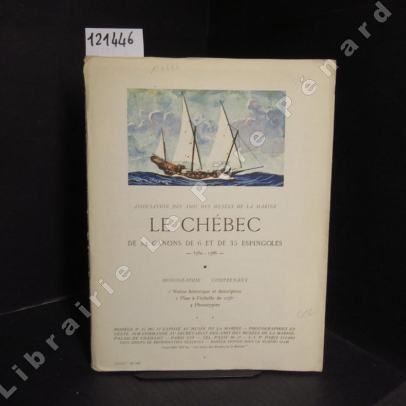
1954ref. 1214471954 Association des Amis des Musées de la marine, 1954 - "Modèle N° 13 MG 12 exposé au Musée de la marine" - in-4 broché, feuillets non reliés sous chemise illustrée à rabats - 1 grand plan dépliant, un feuillet de 8 pages et 2 phototypies
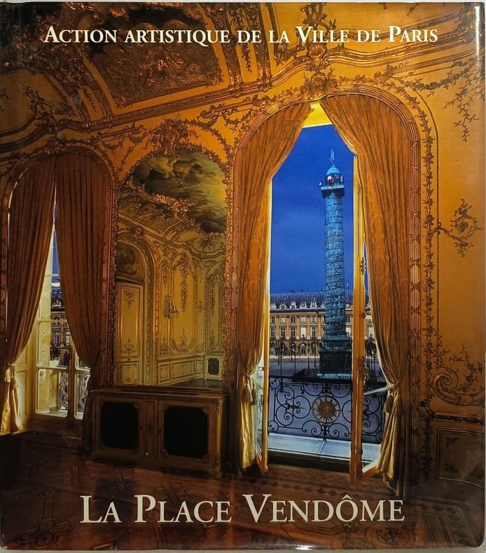
2003ref. 6377Action Artistique Ville Paris 2003 310 pages 3x29x25cm. 2003. Reliure Editeur avec jaquette. 310 pages.
1968ref. 1214441968 Association des Amis des Musées de la marine, 1968 - "Modèle exposé au Musée de la marine" - in-4 broché, feuillets non reliés sous chemise illustrée - 1 grand plan dépliant, un feuillet de 15 pages et 2 phototypies dont une en couleur
1954ref. 1214461954 Association des Amis des Musées de la marine, 1954 - "Modèle N° 13 MG 12 exposé au Musée de la marine" - in-4 broché, feuillets non reliés sous chemise illustrée à rabats - 1 grand plan dépliant, un feuillet de 8 pages et 4 phototypies
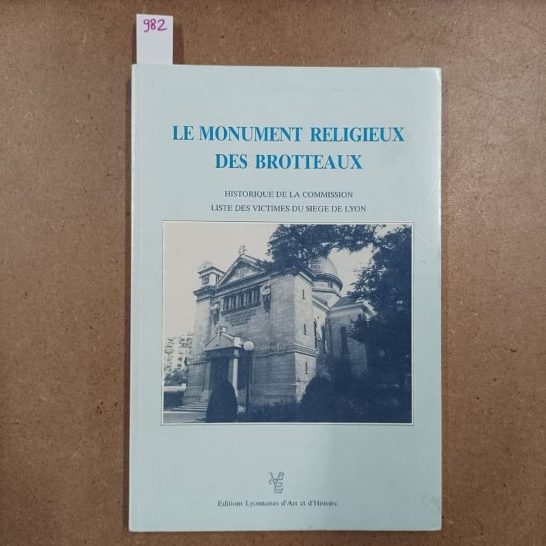
1989ref. 9821989 - broché - Editions Lyonnaises d'Art et d'Histoire - Collection du Bicentenaire de la Révolution Française, N° 16 - 1989 - In-8 (22,5 x 16 cm) broché - Pagination non continue (52 + LXIV pages) - ISBN : 2-905-33-02 - SOMMAIRE : Reproduction du Rapport présenté en 1925 à la Commission du Monument Religieux des Brotteaux - Liste des victimes du Siège de Lyon en 1793 - Bilan de Paul Feuga
2009ref. 11161PARENTHESES 2009 160 pages 16 2x24 3x1 4cm. 2009. Broché couverture rempliée. 160 pages.
1985ref. 1041701985 Ouvrage publié avec le concours du Conseil Général de l'Ain et de l'union départementale des associations culturelles et de sauvegarde - Collection "Richesses touristiques et archéologiques", 1985 - In-8 broché - 176 pages - nombreuses reproductions photographiques dans l'ouvrage
1997ref. 1041711997 Ouvrage publié avec le concours du Conseil Général de l'Ain et de l'union des associations pour la culture et la sauvegarde - Collection "Richesses touristiques et archéologiques", 1997 - In-8 broché - 336 pages - nombreuses reproductions photographiques dans l'ouvrage
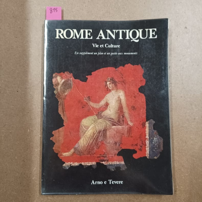
1982ref. 8151982 - broché - Arno e Tevere - Scala - 1982 - In-4 (27 x 19,5 cm) broché - 96 pages - Très nombreuses illustrations et photographies en couleurs - En supplément un plan et un guide aux monuments
ref. 9554National Géographic In-4°, reliure pleine toile taupe sous jaquette illustrée, ensemble dense et très visuel, 288 pages, glossaire, jaquette un peu fatiguée et ouvrage en bonne condition générale.
2006ref. 2860Istituto internazionale di studi liguri 2006 181 pages in8. 2006. broché. 181 pages.
ref. 35241Tielt-Antwerpen, Lannoo - Federatie van Arbeiders Foto en Kinokringen, 1988 Softcover, 96pp., 23x27cm., ills. in kleur en z/w., goede staat. ISBN 9020915991.
1990Book is in excellent condition. Binding is solid and square, covers have sharp corners, exterior shows no blemishes, text/interior is clean and free of marking of any kind. 143 pages, book concerns firm of Howe, Manning and Almy, designers of over 500 projects, producing sturdy, comfortable and adaptable buildings. designers of the first low-income public housing in Boston.
1970Institut National de Recherche et de sécurité 1970. In-8 broché de 170 pages. Bon état
2011New English In original bdg. In publisher's special slip-case. Books are designed as a folder. 2 volumes set: [26], 86, [2], 286, [2], 180, [2], 20 p.; [4], 300, [2], 42, [2], 16, [2], 30 p. Vol. 1: Includes 43 white marbles, 149 beige marbles, 90 color marbles, 10 onyxes with their color catalogue illustrations and informations of locations in Turkey, Anatolia. Vol 2: Includes 150 travertines, 21 limestones, 8 granites, 15 other natural stones with their color catalogue illustrations and informations of locations in Turkey, Anatolia. Color ills. (Color catalogue). A very heavy volumes as set.
No publication date or edition statement, 24 pages, illustrated, map, family tree. eng
1963A clean, unmarked book with a tight binding. 170 pages with very detailed mechanicals drawings, b&w photos, graphs, charts, tables, etc., Contents include: Preliminary Considerations, Architectural Considerations, Lateral Force Resistance, Roof Framing, Columns, Wall Panels, Pick Up Analysis, Concrete Floor Slabs, Footings & Foundations, Joinery, Sandwich Panels, Concrete Fundamentals, Design For Nuclear Weapons, Prestressed Single T Sections.
Published after 1982, 12 pages, illustrated, cover illustration by Martin D. Emmony. eng
Published after 1990, 16 pages, illustrated, plans, first page clipped at top right. eng
ref. 0331235285.Ghardcover. Good. Access codes and supplements are not guaranteed with used items. May be an ex-library book. hardcover
ref. 0332281531.Gpaperback. Good. Access codes and supplements are not guaranteed with used items. May be an ex-library book. paperback
1958Very Good English Revised Third Edition of this rare map of Cyprus, made by Salmon, who was the director of Cypriot land registration and surveys. "Shows grid, district boundaries, heights in feet, railways, roads (2 categories), antiquities, ancient sites.". / "Shows district boundaries, towns and cities, roads (2 categories), railroads, ancient sites and antiquities, and dry streams. Relief is shown by contours, gradient tints, and spot heights. Earlier Edition: 1952.". (OCLC). "In December 1926, in a memorandum to the Colonial Office on vacant surveying positions in the colonies, Palestine and Cyprus were mentioned at the end of a group of Mediterranean colonies; that is there was a group of Mediterranean colonies, and also Cyprus and Palestine [.] Only in 1929 was an Imperial project involving Palestine and Transjordan, brought up at the committee (Colonial Survey Committee). This was the experimental aerial survey for determining the route of the Haifa - Damascus railway, which was presented as a model for mapping from aerial photographs [.] Among the important things reported to the Colonial Survey Committee was the reconnaissance conducted by Colonial Winterbotham, the Chief of the GSGS, in the survey departments of the colonies in 1929, a trip that had been encouraged in the first Conference of Empire Survey Officers in 1928 [.] ... how much Salmon [F. J.] expected from Winterbotham's visit to Ceylon a short time before he was to take over the directorship of the small survey department of Cyprus.". (Source: The Survey of Palestine Under the British Mandate, 1920-1948). Original color map. Folded in original wrappers. Fine. Elephant folio. (58 x 89 cm). In English. Survey of Cyprus administration map. Scale of 4 miles to one inch = 1/253440. Compiled and drawn under the direction of F. J. SALMON, (Director of Land Registration and Surveys, Cyprus, 1932). Revised Third Edition. Second in 1950.