Norman HudsonAntiquariat.de
1.090 resultados
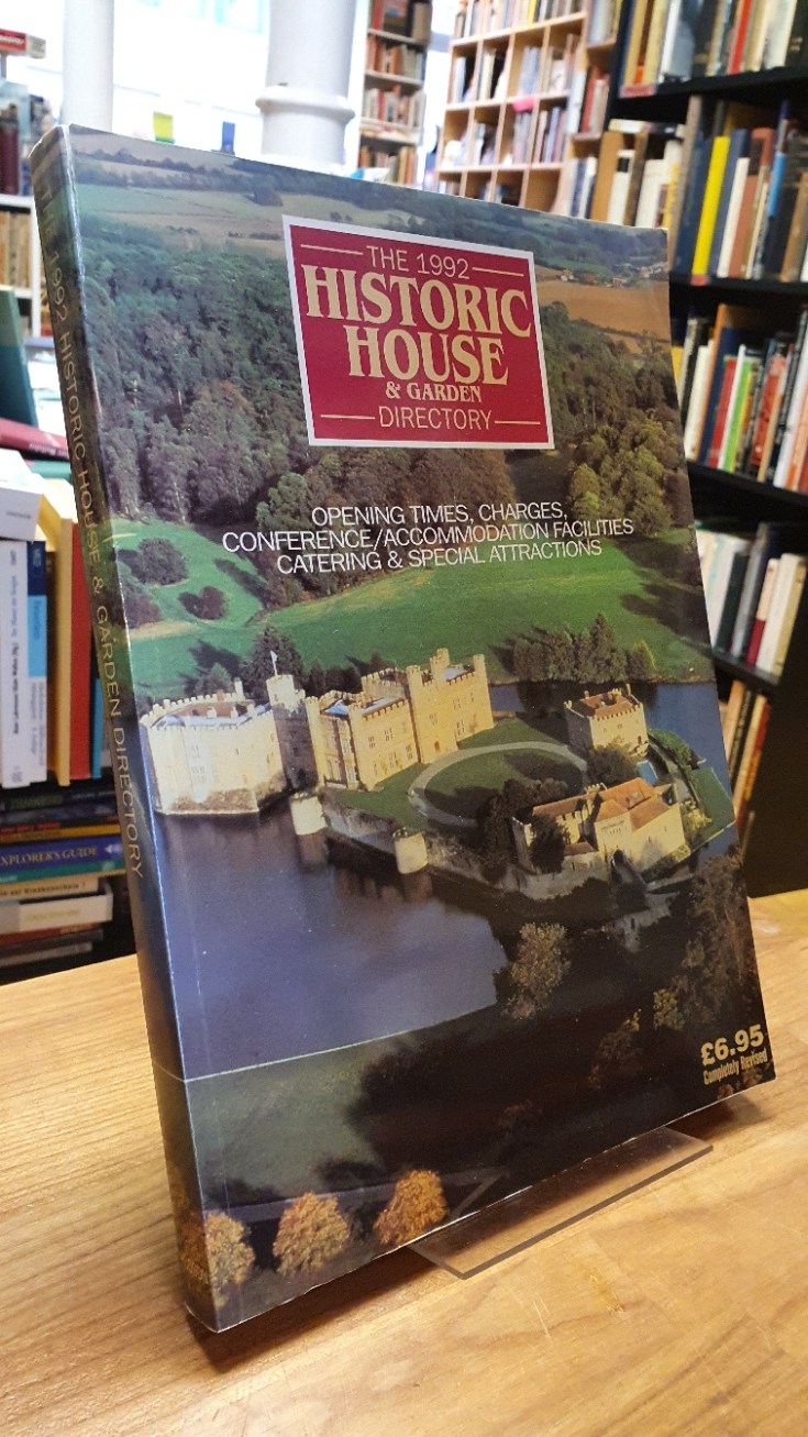
1992ref. 10918BBBanbury, (published by) Norman Hudson & Company, 1992. quer8°, 323 S. mit einigen Farb und zahlreichen s/w-Abbildungen (Fotografien von Häusern), mit einer grossen, mehrfach ausklappbaren Faltkarte im Rückeninnendeckel, farbig illustr. original Kartonage (Paperback), completely revised edition frisches, sehr schönes, sauberes Exemplar (in englischer Sprache).
1986Book is in excellent condition with slight marring of spine and Very slight edgewear as only flaws, appears otherwise unread/unused. Binding is solid and square, covers have sharp corners, exterior shows no other blemishes, text/interior is clean and free of marking of any kind. 254 pages, heavily illustrated with b&w photos, (exteriors, interiors, elevations,) floorplans, detail drawings, plans, drawings, etc. Contents in four sections: Theory, History, Modern, Postmodern, with essay titles such as: Heidegger's thinking on architecture, Alberti's last intentions, Space in architecture after Guarini, Timber buildings in Europe, Behrens house, Schroder house, Tugendhat house, The message of Louis Kahn, Vision of Paolo Portoghesi, Places of Richardo Bofill, Earth and sky of Jorn Utzon etc.
1904ref. R100037972Non Renseigné. 1904. In-12. Broché. Bon état, Couv. convenable, Dos satisfaisant, Intérieur frais. Bon état.. . . . Classification : 251.32-Edifices
1955Very Good Turkish Original manuscript map on cloth. Chipped margins, stains on cloth. Folded. Oblong folio. (32x35 cm) In modern Turkish. Sealed. It shows the exploration of an area of ??1487 hectares and some stone and brick mosques, fountains, buildings and geographic status of the region in the upper corner. Scale: 1:25.000. Extremely rare.
197716 pages, illustrated, plan. eng
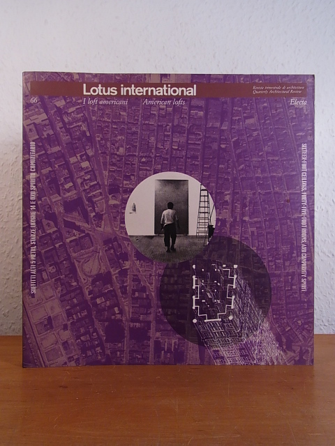
1997ref. 102855Elemond Periodici & Electa, Milano, 1997. 26 x 26 cm ; kart.
1910Pages 453-492 plus xvi pages of great vintage ads. Many great black and white photos. Features: The Country Seat of Howard Henry, Esq., at Camp Hill, PA; The Art of Ornamental Orange Peeling; Decorations and Furnishings For the Home - X - Treatment of Fireplaces and Mantels; Old South Salem in Northern Westchester County - article with photos of local buildings including the Horse and Hound Tavern; Artistic Wax Work; A Group of Modern Houses Costing From $1,800 Upwards - nice 12-photo 2-page spread includes the homes of Mr. Warren Bartholf, Mr. W.A. Westerson, Mrs. Colgrove, Mr. R.E. McGregor, Mr. Benjamin A. Paust, Miss Helen J. Holboe, Mr. W.W. Huntress, Mr. Benjamin Waller, and Mr. Ellis Ashley; Handicraftsman - Leather Craftwork; Crafts That Children Can Do; Ostrich Farming as an Industry; The Small Country House - A Dutch Colonial House Costing $2,150 Complete; A Craftsman's House Costing $2,400 Complete; A House of Modern Design Costing $3,200 Complete; A House and a Garage - the home of James Masterson, Esq., at Crescent Hill, Bay Ridge, NY; Garden Notes; American Homes and gardens' Garden Competition - First Garden Prize wond by Dr. Shiro Miyaki, St. Louis, MO, Second Prize Won by James M. Hull, Esq., Hamilton, Ontario, Canada, Third Prize wond by M.F. Ault, Indianapolis, IN, with photos of all three; L. Wolff Mfg. Co. ad features photo of the new North Western Passenger Terminal Station in Chicago; Ad for Hotel Chamberlain at Old Point Comfort, VA, with small photo of the large hotel; Index to American Homes and Gardens, Volume VII, January to December, 1910; Back cover color ad for the Columbia Grafonola "Regent" and Graphophone; and more. Printed on glossy stock. Small date stamp atop back cover and small piece missing from bottom of page 457, otherwise complete and unmarked with average wear. Disbound from a larger volume with some of the former binding affixed to spine. A worthy copy of this great vintage issue. Book
1980Large format 44 page booklet with two color cover and many b&w photos within. Many photos of historic homes, buildings, street scenes, schools, group photos of workers, school childeren, International Hotel, red light district, Chinese labor, etc, with captions. Copy of McKenney's Pacific Coast Directory 1886 - 7 listing establishments of the time at back. Cover coffee stained at top, corners very slightly worn, text/interior unmarked and Fine.
1948A magazine for collectors and others interested in times past and in articles of daily use and adornment devised by the forefathers. Features: The Daguerreotype; Boston's Carvers and Joiners - Part II - Post-Revolutionary; Earliest Signed Picture by T. [Thomas] Chambers; French Landmarks [Buildings] - Along the Mississippi; Flower Prints and Flower Printmakers of the Eighteenth Century; Kenmore - In Fredericksburg, VA; and more. Many pages of nostalgic ads from a broad assortment of prominent dealers. Profusely illustrated with excellent black and white photos. pp. 241-312. Printed upon glossy stock. Unmarked with above-average wear. Covers loosening. A worthy reference copy of this informative issue. Book
197216 pages, list of curates, bibliographical references, appendix, foreword by Francis Hill. eng
196724 pages, illustrated, folded map at rear, plan, light creasing to covers. eng
1917Folio, 440p., illus. Hardcover Ex-library, Good condition, top on backstrip split
1976Oversize 311p., illus. SOFTCOVER. Paperback Good condition; 1 inch split at top of spine
19775 pages, some light creasing. eng
19924 pages, some light creasing. eng
19924 pages, some light creasing. eng
197232 pages, illustrated. eng
1968772 pages. Contains 37 papers based on the latest research and findings in the subject by authors from fifteen countries. Covers such topics as climatic factors, boundary layer characteristics, wind tunnel modelling, full-scale measurements on buildings, the performance and response of particular structures including towers and bridges, and code criteria for design against wind. Book clean, bright and unmarked. Average wear to dust jacket which bears several short tears. Excellent copy overall. Book
1949ref. 005475scsWashington D.C.: National Council for Historic Sites and Buildings 1949. Octavo paperbound stiff white stapled printed wrappers illus. with f b&w photos figures 64 pp. Very Good with several tiny ships along edges. “Since the beginning of the program in 1946 the National Park Service the Smithsonian Institution and several state organizations have made archeological surveys in 185 proposed reservoir areas besides conducting excavations in 18. These surveys uncovered remains ranging in time from the early Folsom type of primitive hunter to the more elaborate late prehistoric Temple Mound Buildiner and they vary in character from simple village sites in open fields to complexly arranged mound structures. In addition to the vestiges of ancient Indians these reservoir basins contain many historic sites of local and national significane which should be thoroughly studied before they are flooded. National Council for Historic Sites and Buildings, (1949). unknown books
1949ref. 005474scsWashington D.C.: National Council for Historic Sites and Buildings 1949. Octavo paperbound stiff white stapled printed wrappers illus. with f b&w photos figures 64 pp. Near-Fine with former-owner signature. “Since the beginning of the program in 1946 the National Park Service the Smithsonian Institution and several state organizations have made archeological surveys in 185 proposed reservoir areas besides conducting excavations in 18. These surveys uncovered remains ranging in time from the early Folsom type of primitive hunter to the more elaborate late prehistoric Temple Mound Buildiner and they vary in character from simple village sites in open fields to complexly arranged mound structures. In addition to the vestiges of ancient Indians these reservoir basins contain many historic sites of local and national significane which should be thoroughly studied before they are flooded. National Council for Historic Sites and Buildings, (1949). unknown books
1965ref. ZB394226National Council for Historic Sites and Buildings 1965-1995. volumes 17-47 all complete volumes lacking volume 38; partly bound library markings textually clean & tight price is for the set. - If you are reading this this item is actually physically in our stock and ready for shipment once ordered. We are not bookjackers. Buyer is responsible for any additional duties taxes or fees required by recipient's country. Photos available upon request. National Council for Historic Sites and Buildings unknown
1909Very Good Turkish, Ottoman (1500-1928) Extremely rare huge chromo-lithograph map in 24 sheets mounted on canvas, showing a large zone including Midyat (Mardin), Mosul, Mt. Cilo (Resko-Buzul) on the southeast; Kahta (Adiyaman), Munzur Mt., Divrigi (Sivas) on the west; the Black Sea on north and Turkish borders to Armenia, Azerbaijan on the east, and to Russia on the northeast. In addition shows in separate little portions, roads, mountains and hills, lakes, and telegraph and post ways and borders in that zone. Not in any libraries and any collection. An attractive map with its huge size and decorative surface. Several toponyms are underlined in red ink. Otherwise a very good example. Original folded map mounted on canvas. 118x112 cm. In Ottoman script (Turkish with Arabic letters). Scale: 1/630.000.
1916Very Good Turkish, Ottoman (1500-1928) Original color map. Folded. Oblong atlas folio. (50 x 60 cm). In Ottoman script. Shows Rhodes and Tilos Islands. Scale: 1/200.000. Hegira: 1332 = Gregorian: 1916. Not description on map-maker. This is one of the series of the Bonn projection maps which are the first map series in modern techniques in Turkey and the Ottoman Empire. This is one of the series of the Bonn projection maps which are the first map series in modern techniques in Turkey and the Ottoman Empire. In order to produce these maps covering Turkish territory, Reconnaissance Branch was incorporated into The Mapping Commission. The maps were produced in the datum based on the latitude and longitude of Ayasofya Mosque in an equal area Bonn Projection. The field works for the 123 sheets covering the country were conducted by 76 staff. The production was completed in 18 years starting from east-west. Fieldworks continued without stopping except in the years 1914 and 1920. This map series called also reconnaissance maps contributed a lot to producing 1:25.000 scale maps. A very detailed and attractive map of Rhodes Island showing its harbors and Ottoman place names.
1980ref. 1159509München, Moos, (1980). Gr.-8vo. 176 S. m. vielen Abb. Illustr. OKart.
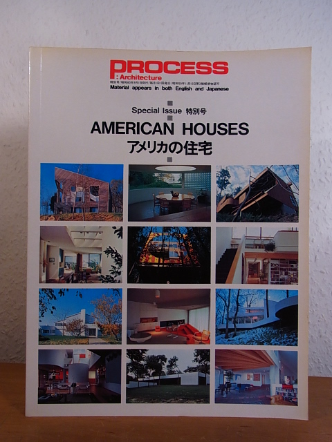
1985ref. 102709Process Architecture Co., Tokyo, 1985. 29,5 cm ; kart.