7 599 résultats
réf. 142287aafBerne, Lithographie & Verlag von J. Fr. Wagner, 1836, Qu.-8vo. 1 General-Karte + 72 lith. Detailkarten, nummeriert 1 bis 27, 27 1/2, 28-47, und 49-72, so vollständig, cartes non reliées dans couverture orig. + Original Papp-Schuber. Zeichen-Erkl. hinten.
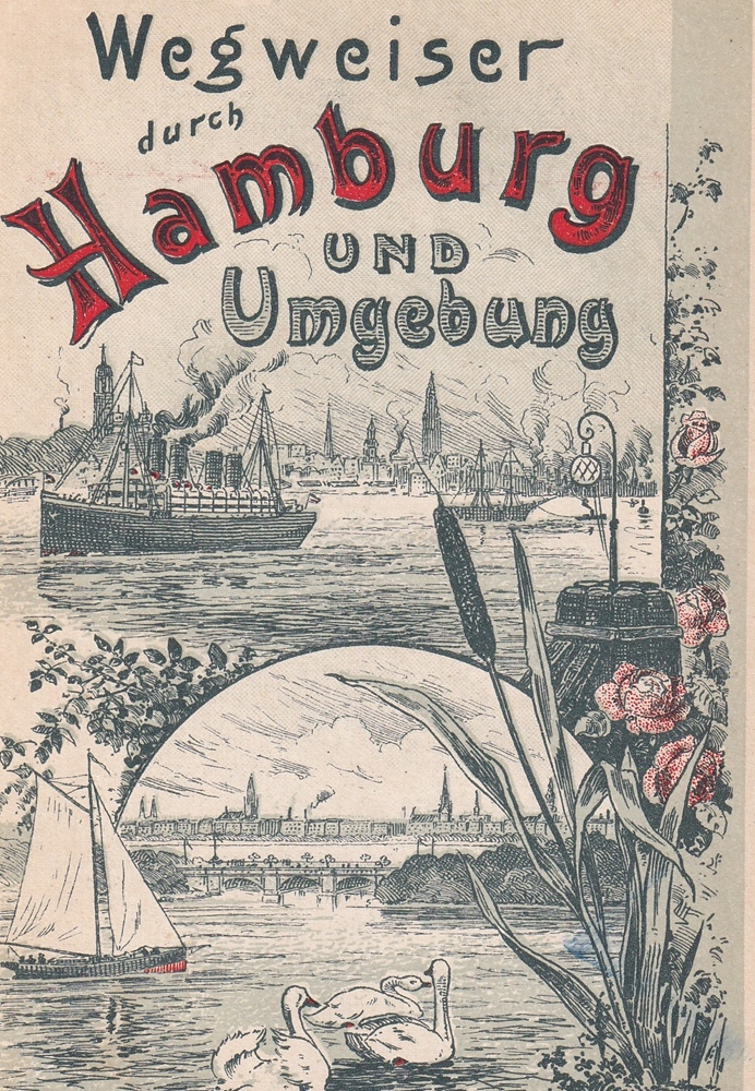
1901réf. 72440(Hamburg, gedr. von F. W. Rademacher, 1901). Farb. illustr. Titel (Hafen- u. Alster-Motiv), 109 (+1) S. Mit zahlr. Textabb. u. 1 mehrf. gefalt. Tafel, enthaltend farb. Stadtplan von Hamburg mit Altona, Maßstab 1:18.000, verso Übersichtskarte der Unterelbe u. Karte "Hamburgs Umgegend", Maßstab 1:100.000. Kl.-8vo (17 x 12 cm). OKart. mit erneuertem Rücken.
1903réf. 88235Hamburg, C. Adler, 1902/1903. Mehrfach gefalt. farbiger Straßenplan. Kartenmaß 38 x 52 cm, Blattmaß 52,5 x 70 cm, Falzmaß 19 cm.
19508vo., text and illustrations in red and green, with numerous photographs, illustrations, maps and plans in the text, and a large folding map; original pictorial wrappers in red and green, wire-stitched as issued, a near fine copy. With numerous trade advertisements. SCARCE IN THIS CONDITION.
1981réf. 24248Wellington, Rendel, 1981. 104 SS., mit zahlreichen, tls. ganzseitigen Illustrationen nach Zeichnungen und Aquarellen M. Fowlers. 4°, original Pappband, Rückentitel silbergeprägt. Im illustr. original Schutzumschlag.
19468vo., Second Edition, with coloured frontispiece, numerous plates in monochrome and endpaper maps, neat contemporary inscription on frontispiece verso; orange cloth, upper board and backstrip lettered in blue, a very good, bright, clean copy in unclipped dustwrapper, the latter lightly chafed at extremities. Published in Batsford's much sought-after 'Face of Britain' series with wrap-around dustwrapper artwork by Brian Cook.
19528vo., First Edition, with frontispiece and illustrations in the text; red cloth, backstrip lettered in black, a very good, bright, clean copy in unclipped, lightly age-soiled dustwrapper. With striking dustwrapper artwork by Lynton Lamb.
19688vo., Second Edition, with 16 plates, some mild offsetting from fold-ins to free endpapers; cloth, gilt back, a very good, bright, clean copy in unclipped dustwrapper. A detailed study and standard reference, first published in 1959.
1836réf. 157944Stuttgart, Schweizerbart, 1836. 422, 116 S., VI S., mit insgesamt 121 Abbildungen und 2 mehrfach gefalteten Karten, 8° Halbleder, mit goldgeprägten Rückentitel, Frakturschrift
1836réf. 268528Stuttgart: Schweizerbart, 1836. Ca. 21,3 x 13,5 cm. 116 Seiten, mit 23 (! ) gestochenen Tafeln Originalpappband. 22cm
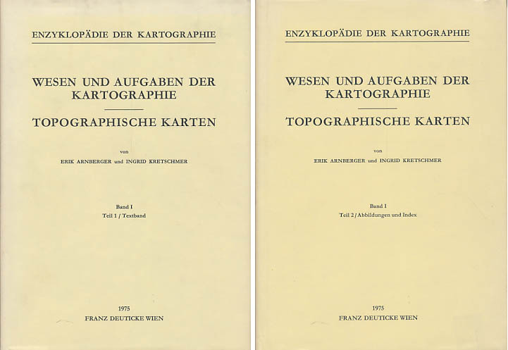
1975réf. 5441DBWien, Franz Deuticke, 1975. Groß-8°. 24,5 cm. XX, 536, 293 Seiten. Original-Leinenbände mit Original-Schutzumschlägen. (= Die Kartographie und ihre Randgebiete. Herausgegeben von Erik Arnberger. Band I. Teil 1 und Teil 2).
réf. 100755aafDruck & Verlag von G. G. Lange in Darmstadt, o.J. um 1860, 17.5x25 cm. Blattgr., orig. Stahlstich, 1 Blatt / 1 feuille.
19758vo., with photographs and maps (one double-page and one full-page) in the text; original photographic wrappers, wire-stitched as issued, a very good, bright clean copy.
19968vo., Third Edition, with plates and maps; original pictorial wrappers, a fine copy.
19074to., First Edition, with 566 photographs in the text; strongly bound in early twentieth century half calf, cloth boards, neatly rebacked with old backstrip laid down, a very good, clean copy. Barker's massive photographic compendium is arranged as a gazetteer 'giving an account of every town and village in the Western Division of the county, a description of every church (whether now used or in ruins), and a short account of the old castles, monasteries, halls and other buildings. Also containing allusions to all the chief historical events with which this very interesting part of East Anglia is associated, and notes on the family history, and archaeological discoveries in the district'. 'Many of the [very numerous] views have been specially produced, at great expense, to render the work more attractive, complete, and up-to-date.' Extremely scarce, especially in this condition. Steward, 548.
20008vo., First Edition, with 6 plates and a map; cloth, a fine copy in unclipped dustwrapper.
19858vo., First Edition, with numerous photographs, illustrations and maps in the text, small neat personal stamp on front free endpaper; laminated pictorial boards, a near fine copy.
19858vo., First Edition, with very numerous photographs and maps throughout, neat inscription on front paste-down; pictorial boards, a fine copy.
19938vo., First Edition, with photographs and illustrations in the text; original photographic wrappers, a very good, clean copy.
19908vo., First Edition, with numerous illustrations in the text and endpaper maps, small note on title; pictorial boards, upper board and backstrip lettered in white, a near fine copy. SIGNED BY THE AUTHOR ON FRONT FREE ENDPAPER VERSO.
19878vo., Second Impression, with numerous photographs in the text; pictorial boards, a fine copy. Published a year after the first edition.
18788vo., First Edition, with 6 folding coloured charts (and full-page coloured key), 16 plates and two large folding coloured maps (one professionally repaired at folds) in pockets at front and rear; handsomely bound in red full morocco, backs gilt with five raised bands, second and fourth compartments lettered and ruled in gilt, all other compartments tooled and ruled in gilt, a most attractive copy ideal as a gift or for presentation. This scarce and detailed work includes an extensive bibliography. The fine maps in particular are often missing. Very scarce.