1798Kbhvn., Schultz, 1798. Samt. hldrbd. Ryg med lettere brugsspor. XII,168 pp. N.C. Kall Rasmussens eksemplar.
1834K., 1834. Samt.hshirt m.rygforgyldn. Lidt slidt ved kapitæler og false øverst og nederst. (4),315,(3) pp. Kobberst.foldet prospekt og 3 kobberst.foldeplancher.
1897ref. VIEN0494Wien, Holzhausen 1897. Folio. XXIV, 632 Seiten. Mit 34 Tafeln und 181 Textillustrationen. Neuerer Halbleinenband mit goldgepr. RüSch., sehr gut erhalten. Ohne Stempel, Anstreichungen oder Gebrauchsspuren, wie neu. Eines von 300 num. Exemplaren. Die Beiträge stammen von ersten Fachgelehrten der Zeit, wie Eduard Suess, Friedrich Kenner, Arnold Luschin von Ebengreuth, Anton Mayer. - Das Werk (6 Bände in 8 Teilen) gilt heute noch als grundlegend und unentbehrlich für alle seriösen stadthistorischen Arbeiten. - Mayer 149; Gugitz 70.
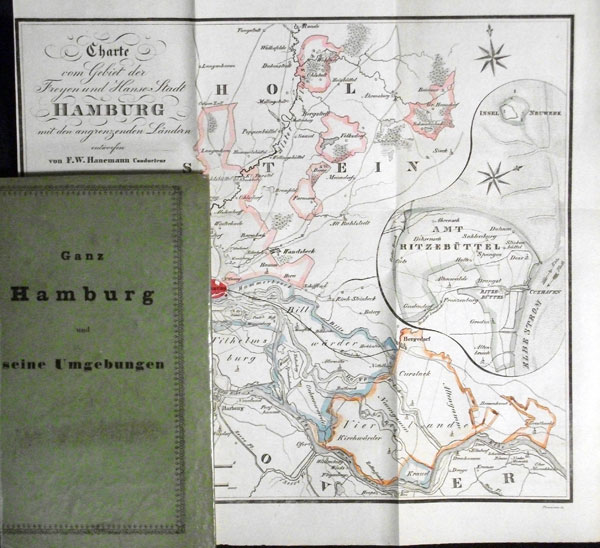
1841ref. 56810Hamburg, F. H. Nestler und Melle, 1841. 2 Bll., 95 S., 2 Bll. (Straßen-Verzeichnis). Mit 1 gefalt. gestoch. grenzkolor. Karte, entworfen von F. W. Hanemann (gestochen von Forsmann) u. 1 mehrf. gefalt. gestoch. Plan. 12mo. (ca. 15 x 9 cm). Pp. d. Zt. mit Deckeltitel: "Ganz Hamburg und seine Umgebungen".
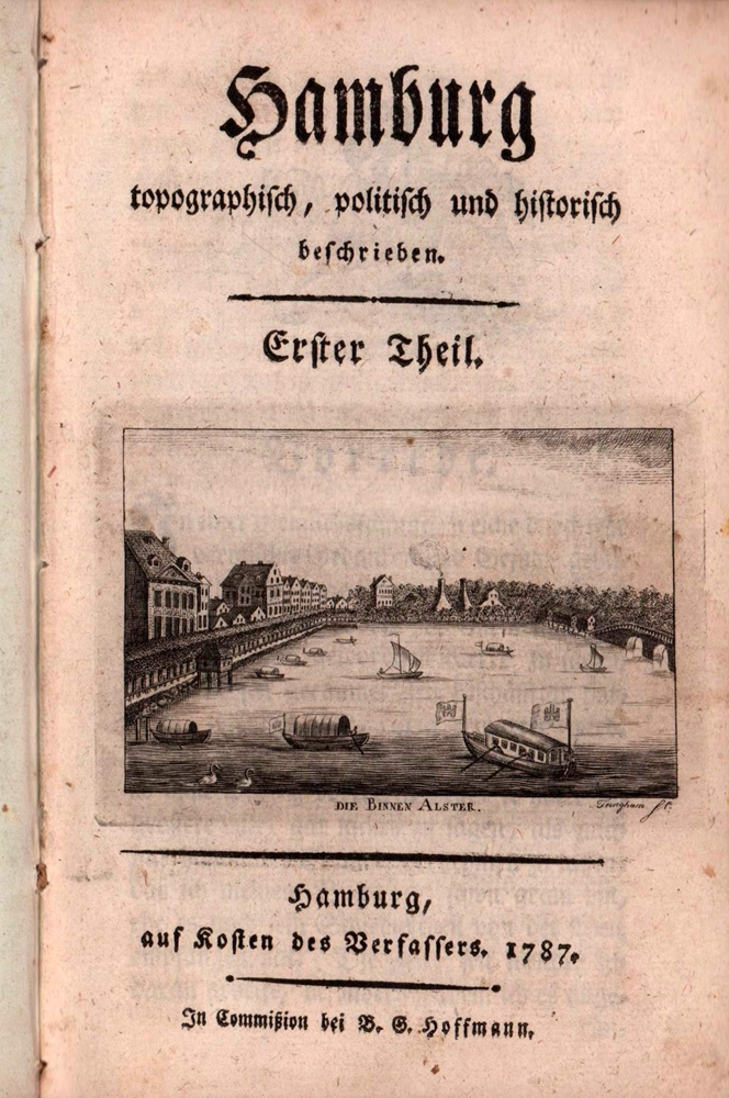
1787ref. 79332Hamburg, auf Kosten des Verfassers / in Commission bei B. G. Hoffmann, 1787. 8 Bll., 424 S. Mit gestoch. Titelvign. (W. Tringham sc.), 1 gestoch. Tab., 3 gestoch. gefalt. Grundrissen auf stäkerem Papier (v. Pingeling) u. 1 gestoch. mehrf. gefalt. Stadtplan (v. W. Tringham nach J. F. Reinke) Kl.-8vo (17,5 x 11 cm). Pp. d. Zeit mit goldgepr. RSchild.
ref. 46801872 . 95 CARTES . RESUMES D'APRES LES CARTES DE L'ETAT MAJOR . Cartonnage éditeur
1972ref. 93928(Unterschneidheim, Walter Uhl, 1972). 200, 100 oft gefalt. s/w Taf. Quer-Folio. 27,5 x 37,5 cm. OLn.
1977Royal octavo. Pp. 316. Various sections paginated individually. Hardcover, bound in the original publisher's full cloth. In fine condition. Excellent copy. ~ Reprint.
1872ref. 7-2-595Marburg, Braun, 1872. 8°, mit einer Photogrphie, VIII, 140 Seiten (Orig. farbige Broschurdeckel mit eingebunden), HLdr. d. Z
ref. 054962Tours imprimerie de F. Vauquer 1774 in 12 (17,5x10,5) 1 volume broché, sous couverture papier marbré ancien, étiquette de titre manuscrite au dos, non rogné, XII et 162 pages [et 1 feuillet d'errata chiffré 164]. Rare. Bel exemplaire
1734ref. 30144Wien, Heydinger, 1734. 8°. Mit 17 doppelseitigen gestochenen Karten und 10 teils doppels. Kupfertafeln (Münzen, Wappen und Ansichten), 16 Bl., 488 S., 11 Bl. (Regsiter), Ganzlerderband der Zeit. - Karten des Wiener Waldes, Unter-Österreichs, Hausruck-Viertel, Machland-Viertel, Mühlviertel, der Donau, u.a. - Ansichten von: Der Donau und umliegender Gegend vom Gallenberg; zerstörtes Carnuntum; Berg und Kloster Gottwich (Göttweig); Sieveringer Kirche. Einband bestoßen, Wurmfraß im Rücken, erste Blatt im Falz leichte Fraßspuren, innen stellenweise etwas stockfleckig.
ref. 40079Paris Chez Magimel, Libraire 1806 in 8 (20,5x13) 1 volume reliure demi veau havane de l'époque, dos lisse orné de riches caissons dorés, pièce de titre de cuir vert, XVI et 424 pages, aves un tableau dépliant, et 12 planches gravées dépliantes in fine, petite usure sur la coiffe supérieure, ex-libris manuscrit de l'époque à la plume: d'Ahémae, Capitaine au C. R. d'état major. Bon exemplaire ( Photographies sur demande / We can send pictures of this book on simple request )
1905ref. 20833Berlin, Reimer, 1905. Porträt, IX, 291 SS, 2 gefaltete Karten. Gr.-8°. - 24:16 cm. Orig.-Leinwand.
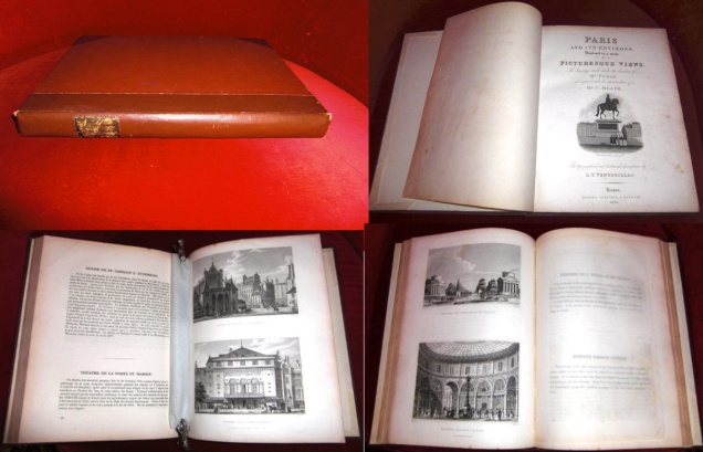
1829ref. 013602Robert Jennings, Truttel & Wurtz, London, Paris 1829. Leinen/Leder Gut
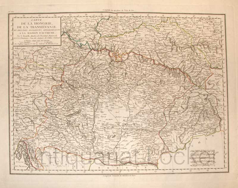
1800ref. KART0163Paris, um 1800. Plattengröße:44x34 cm, Blattgröße: 56,9x43,4 cm; verstärkter Mittelfalz, No. 102 im linken Plattenrand, in der Mitte im ob. Plattenrand: Longitude de Meridien de l'Isle de Fer;, im unt. Plattenrand Longitude Orientale du Meridien de Paris; sauberes, deko
1873Octavo. Pp. vii, 484. Plus folding coloured lithograph map bound at end. Hardcover, recently bound in handsome brown full cloth, calf lettering-piece lettered in gilt; map foxed. In a very good condition. Handsome copy. ~ First edition. Mossman wrote extensively on the Far East and Australasia. From the private collection of Ing. P. L. W. Arts with his bookplate.
1911ref. 4811Paris, Imprimerie Nationale, 1911 ; in-4 ; demi-cbasane fauve, dos à nerfs, titre doré, plats conservés (reliure mi-XXe) ; LXXXII (82), 528 pp.
1955Octavo. Pp. x, 264. Plus 2 folding maps bound at end, and a folding chart bound-in. Hardcover, bound in the original publisher's full cloth, gilt spine; free endpapers browned, first with a signature. In fine condition. Excellent copy. ~ First edition. London Oriental Studies, 4. Rare original copy.
200426 cm, cartoncino editoriale con sovracop. illustrata; p. 547, numerose figure in nero, alcune a colori e numerose carte archeologiche a piena pagina color rosso, una ripiegata
1982Royal octavo. Pp. 295. With a facsimile example of one of Ramstedt's etymologies in his own handwriting. Bound in the original green stiff wrappers. Small ownership signature and neat inscription in Korean to title-page. In fine condition. Excellent copy, practically unused. ~ First edition. Suomalais-Ugrilainen Seuran Toimituskia; Mémoires de la Société Finno-Ougrienne, 182.
1860Octavo. Pp. xv, 447. Plus frontispiece with facing tissue-guard and many other such plates. With numerous woodcut illustrations throughout the text. Half-title present. Hardcover, bound in the original publisher's decorative full cloth, large charming illustration embossed in gilt on cover, spine lettered and illustrated in gilt, both sides decoratively embossed in blind, all edges gilt; spine-ends very slightly worn. In a very good condition. ~ Second edition. Steinmetz is particularly indebted to 'honest old Kaempfer' and Charles MacFarlane's report on Japan which was published in 1852 and was illustrations by Arthur Allom whose lovely woodcuts are also used here. ~ Provenance: From the private collection of Ing. P. L. W. Arts with his bookplate to first free endpaper. With prize inscription, dated 1865, to first paste-down. On verso of last free endpaper tipped-in an undated auction catalogue entry, of a copy of the first edition.
1856In 8, pp.400. Ex libris all'interno del piatto. Bruniture. M. tl. coeva con ang., nervature e titoli in oro al d. Non comune dizionario geografico del Granducato di Toscana che contiene tutti i paesi fiumi, monti e toponimi di varia origine della toscana.
180012mo., First Edition, with a woodcut title and 8 woodcuts in the text; mid-twentieth century marbled boards, original paper label laid down on back, speckled edges, A MOST ATTRACTIVE AND REMARKABLY FRESH, CLEAN COPY. With the half-title, sometimes missing. RARE. See Upcott, p.71
19343 vols., 8vo., First Edition, with a folding coloured map as frontispiece, 10 plates, 34 diagrams and charts (a number double-page) in the text, and 3 folding maps on japon; original green cloth upper boards blocked in gilt, backstrips lettered in gilt, uncut, a near fine set. H S TOYNBEE'S COPY WITH HIS BOOKPLATE OF ALL THREE FRONT PASTE-DOWNS. Hugh Stanley Toynbee was a Fellow of the Royal Economic Society, and of the Economic History Society. Universally known as 'Toyno', he worked for the British Journalists' Union for over forty years. Complete sets are very scarce, especially in this condition.