3378 risultati
rif. DADAX0520361970New unknown
rif. DADAX0520316339New unknown
rif. DADAX0198794622New unknown
rif. DADAX0415327245New unknown
rif. DADAX0415327253New unknown
rif. DADAX0195340124New unknown
rif. DADAX0415399424New unknown
rif. DADAX0230294383New unknown
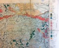
1910rif. 9032Ordnance Survey 1910. Good. Folded map mounted on linen Map in 15 segments linen-backed. Covers an area from Prestonpans to Oldhamstocks. The area consists predominantly of Silurian Devonian and Carboniferous strata with some igneous intrusions. Ordnance Survey unknown
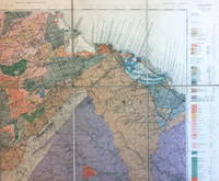
1924rif. 9031Ordnance Survey 1924. Fair. Folded map mounted on linen Map in 18 segments linen-backed separating at two of the folds. Covers an area from Cambuslang to Grangemouth. The area consists predominantly of Carboniferous strata with some igneous intrusions. Ordnance Survey unknown
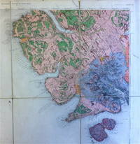
1896rif. 9033Ordnance Survey 1896. Good. Folded map mounted on linen Map in 8 segments linen-backed. Covers the south-western part of the Island of Skye including much of the Cuillin range and also Soay. The area consists predominantly of Tertiary igneous rocks. Ordnance Survey unknown
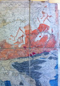
rif. 9035Ordnance Survey n.d. Fair. Folded map mounted on linen Map in 8 segments linen-backed. Covers parts of Stirlingshire and Perthshire. The area consists predominantly of metamorphic rocks with coal measures of the Carboniferous period near Alloa. This copy has evidently been used in the field as it shows considerable signs of wear and has been neatly annotated in various places with names of coal seams and in a few places other sedimentary strata. Ordnance Survey unknown
rif. DADAX1138174149New unknown
rif. DADAX0333671481New unknown
rif. DADAX0300204280New unknown
rif. DADAX0415720133New unknown
rif. DADAX030014170XNew unknown
rif. SONG1904057500Used: Good unknown
rif. DADAX1409450643New unknown
rif. DADAX1409401340New unknown
rif. DADAX0199247226New unknown
rif. DADAX0387972692New unknown
rif. DADAX0415158362New unknown
rif. DADAX0199249229New unknown
rif. DADAX052111277XNew unknown