27.507 risultati
1774rif. 1057AG1774. Schabkunstblatt von Aug. Vind nach J. Elias Haid. Bildgrösse: 14 x 10 cm. Blattgrösse: 32 x 26 cm.
1971rif. 6105Frankfurt/Main & Berlin & München, Moritz Diesterweg Verlag, 1971. 8° groß, 567 S., mit zahlreichen s/w Abb. Auf Extratafeln, Einbd.eingegraut, eine Ecke min. bestoßen, sonst ger. Gebr.sp., Leinen
1956American Geographical Society; B&W Photographs; 8vo
1964Slight tanning and minor edgewear to DJ ; With an introduction by Sir David Ormsby Gore, British Ambassador to the United States ; B&W Photographs; 8vo 8" - 9" tall; 136 pages
1954Boards with light wear to extremities. ; 72 maps and plans; The Blue Guides; 16mo 6" - 7" tall; 656 pages
1957Light shelfwear to DJ. ; 74 maps and plans; The Blue Guides; 16mo 6" - 7" tall; 634 pages
1957Boards with moderate wear to extremities. Former owner's name on title page; 74 maps and plans; The Blue Guides; 16mo 6" - 7" tall; 634 pages
1978rif. 6233Neuenburg, Avanti Verlag, 1978. 8°, mit zahlreichen farb.eingehängten Abb., 160 S., min. Gebr.sp., Kunstleder, wattiert
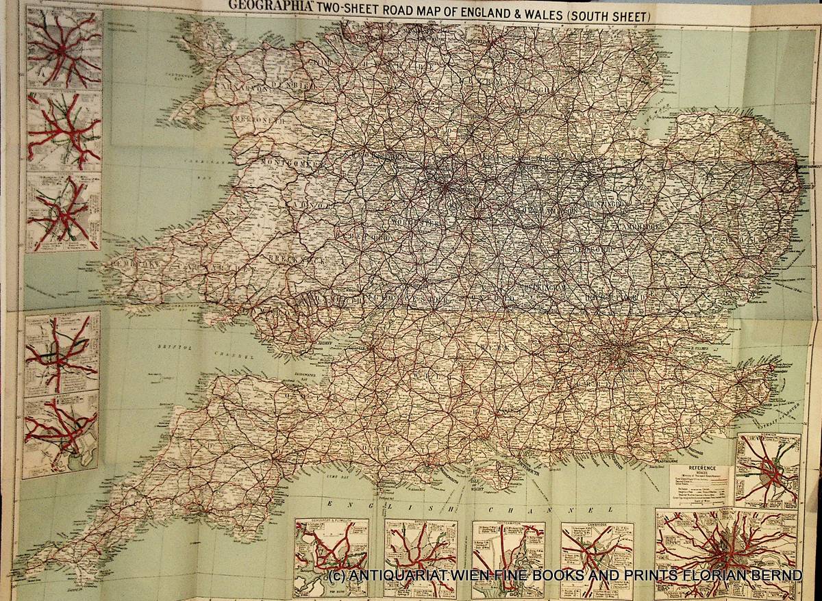
1924rif. K-2188London, Geographia, [1924]. Karte, mehrfarbig, 99x 78 cm, in 36 Segmenten gefaltet und auf Leinen aufgezogen, mit 11 Stadtdurchfahrtspl?nen am Rand , 3 1/2 Meilen zu 1 Inch, a very good copy
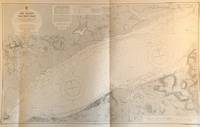
rif. 56483London: British Admiralty 1880 1927. An engraved chart on heavy stock uncolored sheet size 40 x 27.5 inches. Published 1880; New Edition 1922. Small corrections to 1927 printed and 1933 mss. Original vertical fold a very good copy some small additions in red pen and several small paste-over corrections. In lower right: "Engraved by Weller & Addison" and "Zc 1927". Chart number is 2450. Small typed label on verso giving chart & folio info. Published under the Superintendence of Captain F.J. Evans. Coastal engraving at the bottom. London: British Admiralty, 1880 (1927). unknown
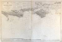
rif. 56488London: British Admiralty 1933. A large engraved chart on heavy stock uncolored sheet size 44 x 28 inches. Published 1933. Original vertical folds a clean copy; numerous corrections and additions in red. In lower right: "Engraved 1932" and "Zc 1933". Chart number is 2040. Small typed label on verso giving chart & folio info. Published under the Superintendence of Captain J.A. Edgell. Good detail of the NW end of the Isle of Wight. London: British Admiralty, 1933. unknown
rif. 56481London: British Admiralty 1875 1930. An engraved chart on heavy stock uncolored sheet size 27.5 x 40 inches. Published 1875; New Edition 1928. Small corrections to 1930 printed and 1931 mss. Original horizontal fold a very clean copy some small additions in red pen and two small paste-over corrections. In lower right: "Engraved 1875 / Processed 1923". Chart number is 1895. Small typed label on verso giving chart & folio info. Published under the Superintendence of Captain F.J. Evans. Several inset engravings of lighthouses. London: British Admiralty, 1875 (1930). unknown
rif. 56482London: British Admiralty 1878 1931. An engraved chart on heavy stock uncolored sheet size 40 x 27.5 inches. Published 1878; New Edition 1920. Small corrections to 1931 printed and 1932 mss. Original vertical fold a very clean copy some small additions in red pen. In lower right: "Engraved 1878 / Electro. 1931". Chart number is 2451. Small typed label on verso giving chart & folio info. Published under the Superintendence of Captain F.J. Evans. Lighthouse and coastal engraving at the top. London: British Admiralty, 1878 (1931). unknown
rif. 56489London: British Admiralty 1882 1932. An engraved chart on heavy stock uncolored sheet size 40 x 28 inches. Published 1882; New Edition 1923; Small corrections to 1932 printed. Original vertical fold a clean copy; some corrections and additions in red. In lower right: "Engraved by Davies & Company" and "Zc 1932". Chart number is 2219. Small typed label on verso giving chart & folio info. Published under the Superintendence of Captain Sir Frederick J. Evans. Good detail of the Western end of the Isle of Wight. Engraved coastlines at the bottom. London: British Admiralty, 1882 (1932). unknown
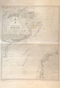
rif. 56486London: British Admiralty 1930. A large engraved chart on heavy stock uncolored sheet size 60 x 28 inches. Published 1930; Small corrections to 1932 mss. Original vertical folds a clean copy; numerous corrections and additions in red and two printed paste-over corrections. A couple of red ink stains at the upper margin. In lower right: "Engraved 1895 / Processed 1925 / Slip Engraved 1927" and "Zp 1930". Chart number is 394. Small typed label on verso giving chart & folio info. Published under the Superintendence of Rear Admiral H.P. Douglas. A very large chart including an extremely detailed map of the North part of the Isle of Wight. London: British Admiralty, 1930. unknown
rif. 56485London: British Admiralty 1896 1927. A large engraved chart on heavy stock uncolored sheet size 44 x 28 inches. Published 1896; New Edition 1927. Small corrections to 1927 printed and 1932 mss. Original vertical folds a very clean copy; numerous corrections and additions in red and two printed paste-over corrections. In lower right: "Zp1927". Chart number is 2050. Small typed label on verso giving chart & folio info. Published under the Superintendence of Rear Admiral W.J.L. Wharton. Engraved coastlnes at bottom. Good close-up detail of the Isle of Wight. London: British Admiralty, 1896 (1927). unknown
rif. 56492London: British Admiralty 1888 1928. An engraved chart on heavy stock uncolored sheet size 27.5 x 40 inches. Published 1888; New Edition 1920; Large corrections to 1928 printed and 1933 mss. Original vertical fold a clean copy; some corrections and additions in red. In lower right: "Engraved 1888" and "Zc 1928". Chart number is 2565. Small typed label on verso giving chart & folio info. Published under the Superintendence of Captain W.J.L. Wharton. Engraved coastline at the bottom. Cornwall and the Scilly Islands. London: British Admiralty, 1888 (1928) unknown
rif. 56503London: British Admiralty 1908 1930. An engraved chart on heavy stock uncolored sheet size 27 x 34 inches. Published 1908; New Edition 1922. Small corrections to 1930 printed and 1932 mss. Original horizontal fold a very clean copy; some corrections and additions in red and one paste-over correction at Weymouth Harbour. In lower right: "Engraved by Davies & Company" and "Zc 1930". Chart number is 2268. Small typed label on verso giving chart & folio info. Published under the Superintendence of Rear Admiral A. Mostyn Field. Small inset map of Portland Coaling Piers at lower left. London: British Admiralty, 1908 (1930). unknown
rif. 56498London: British Admiralty 1908 1928. An engraved chart on heavy stock uncolored sheet size 29 x 34.5 inches. Published 1908; New Edition 1911. Small corrections to 1928 printed. Original horizontal and vertical folds a very clean copy; some corrections and additions in red. In lower right: "Engraved by Weller & Addison". Chart number is 26. Small typed label on verso giving chart & folio info. Published under the Superintendence of Rear Admiral A. Mostyn Field. Small inset map of Torquay Harbour at the upper left. London: British Admiralty, 1908 (1928) unknown
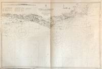
rif. 56500London: British Admiralty 1890 1928. An engraved chart on heavy stock uncolored sheet size 40 x 27.5 inches. Published 1890; New Edition 1911. Small corrections to 1928 printed and 1932 mss. Original vertical fold a very clean copy; some corrections and additions in red. In lower right: "Engraved by Edwd. Weller" and "Zc 1926". Chart number is 1267. Small typed label on verso giving chart & folio info. Published under the Superintendence of Captain W.J.L. Wharton. One engraved coastline at the bottom. London: British Admiralty, 1890 (1928). unknown
rif. 56493London: British Admiralty 1872 1927. An engraved chart on heavy stock uncolored sheet size 27.5 x 40 inches. Published 1872; New Edition 1915. Small corrections to 1927 printed and 1932 mss. Original horizontal fold a very clean copy some small additions in red pen and one small paste-over correction. In lower right: "Engraved by Davies Bryer & Co." and "Zc 1925". Chart number is 154. Small typed label on verso giving chart & folio info. Published under the Superintendence of Rear Admiral G.H. Richards. Several inset engravings of shorelines and an inset map of Truro. London: British Admiralty, 1872 (1927). unknown
rif. 56501London: British Admiralty 1895 1932. An engraved chart on heavy stock uncolored sheet size 41 x 28.5 inches. Published 1895; New Edition 1932. Small corrections to 1933 mss. Original vertical fold a very clean copy; some corrections and additions in red. In lower right: "Engraved 1895" and "Zp 1932". Chart number is 1967. Small typed label on verso giving chart & folio info. Published under the Superintendence of Rear Admiral W.J.L. Wharton. London: British Admiralty, 1895 (1932). unknown
rif. 56502London: British Admiralty 1880 1933. An engraved chart on heavy stock uncolored sheet size 40 x 27.5 inches. Published 1880; New Edition 1920. Small corrections to 1933 printed. Original vertical fold a very clean copy; some corrections and additions in red. In lower right: "Engraved 1880" and "Zp 1933". Chart number is 2620. Small typed label on verso giving chart & folio info. Published under the Superintendence of Captain F.J. Evans. Small inset map of Eddystone Rocks at upper left. London: British Admiralty, 1880 (1933). unknown
rif. 56497London: British Admiralty 1893 1933. An engraved chart on heavy stock uncolored sheet size 28 x 46 inches. Published 1893; New Edition 1922. Small corrections to 1933 printed. Original vertical folds a very clean copy; some corrections and additions in red. In lower right: "Engraved by Davies & Company" and "Zc 1933". Chart number is 2615. Small typed label on verso giving chart & folio info. Published under the Superintendence of Captain W.J.L. Wharton. One short engraved coastline at the bottom. London: British Admiralty, 1893 (1933). unknown
rif. 56499London: British Admiralty 1900 1928. An engraved chart on heavy stock uncolored sheet size 40 x 27.5 inches. Published 1900; New Edition 1912. Small corrections to 1927 printed and 1932 mss. Original vertical fold a very clean copy; some corrections and additions in red. In lower right: "Engraved by Davies & Company" and "Zc 1928". Chart number is 442. Small typed label on verso giving chart & folio info. Published under the Superintendence of Rear Admiral Sir W.J.L. Wharton. Two short engraved coastlines at the top. London: British Admiralty, 1900 (1928). unknown