Antiquariat.de
246 résultats
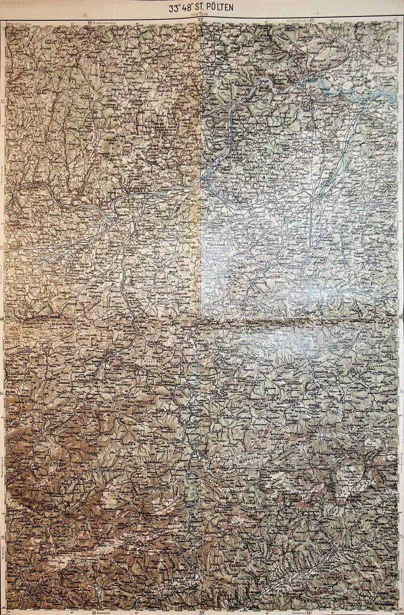
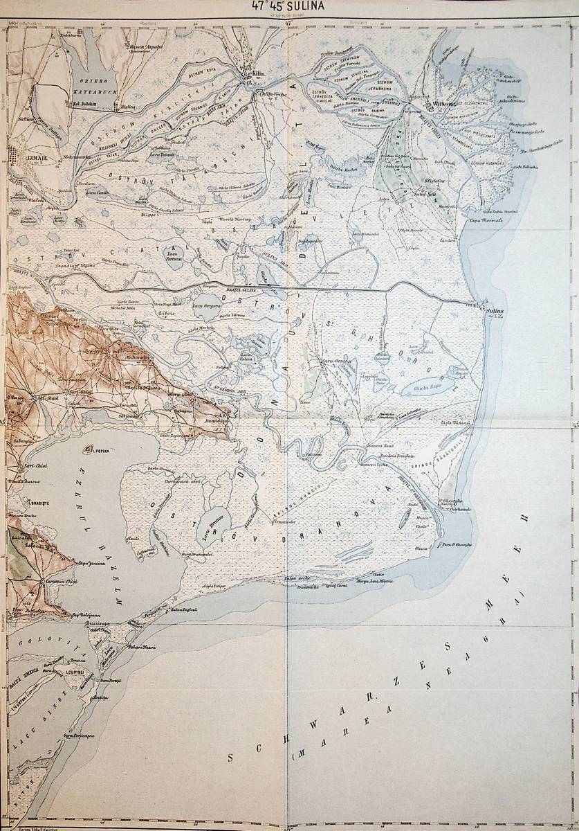
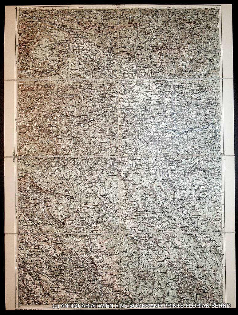
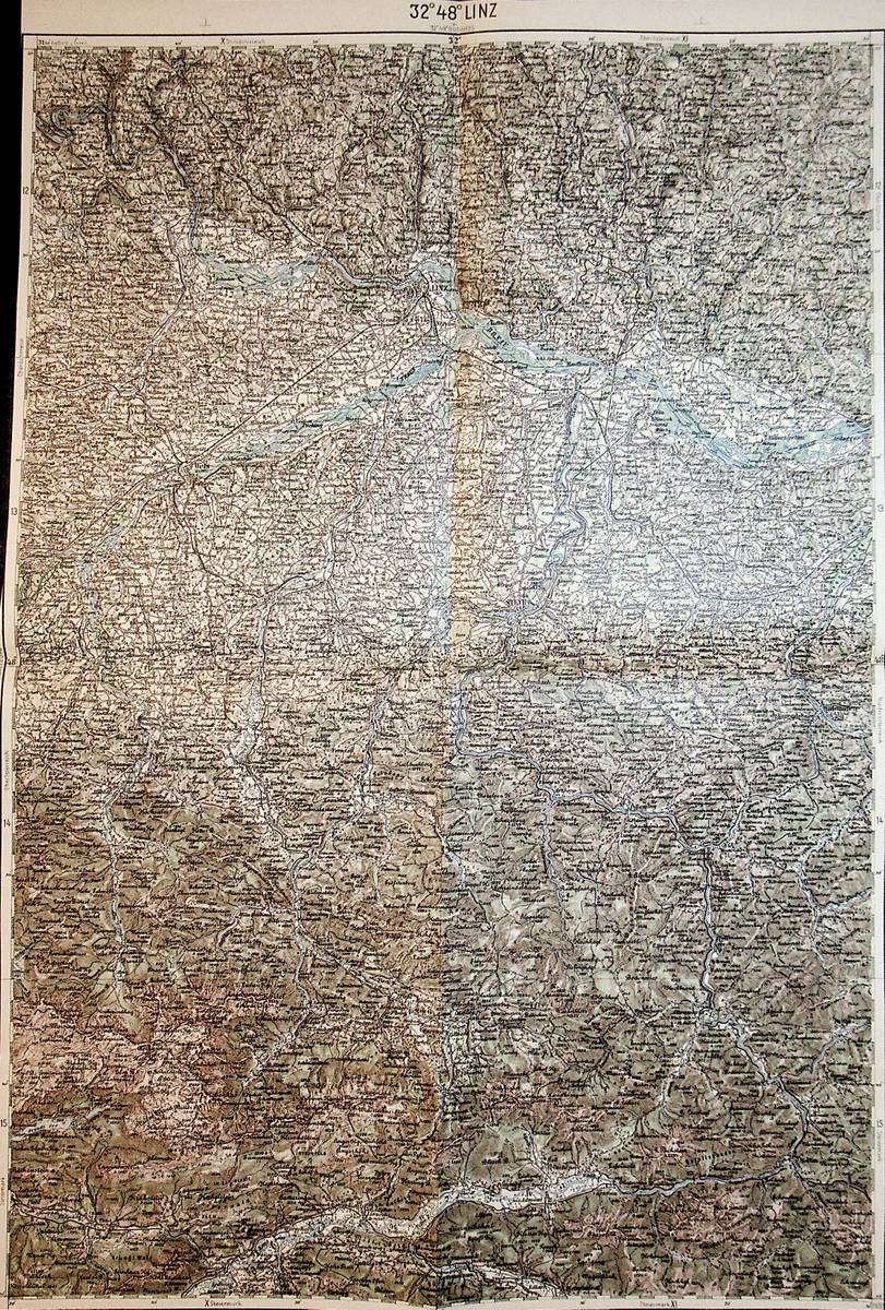
1893réf. A141-1267Wien, Kaiserlich-K?nigliches Milit?r-Geographisches Institut, ca. 1893. Hochformat, ca. 38 x 55 cm, gefaltet zu 8 Segmenten, Ausgabe: mehrf?rbig; Zustand: gut +
1893réf. A141-1266Wien, Kaiserlich-K?nigliches Milit?r-Geographisches Institut, ca.1893. Hochformat, ca. 38 x 55 cm, gefaltet zu 8 Segmenten, Ausgabe: mehrf?rbig; Zustand: ein kleines Loch an einer Falzecke, sonst gut +
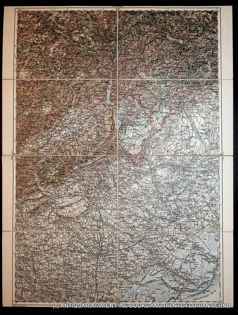
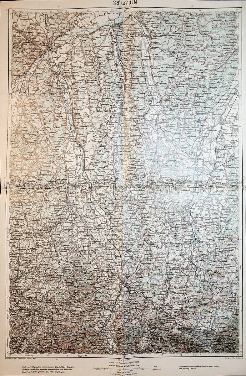
1898réf. A141-1321Wien, Kaiserlich-K?nigliches Milit?r-Geographisches Institut, 1898. Hochformat, ca. 42 x 55 cm, gefaltet zu 4 Hauptsegmenten, Ausgabe: mehrf?rbig; Zustand: gut +
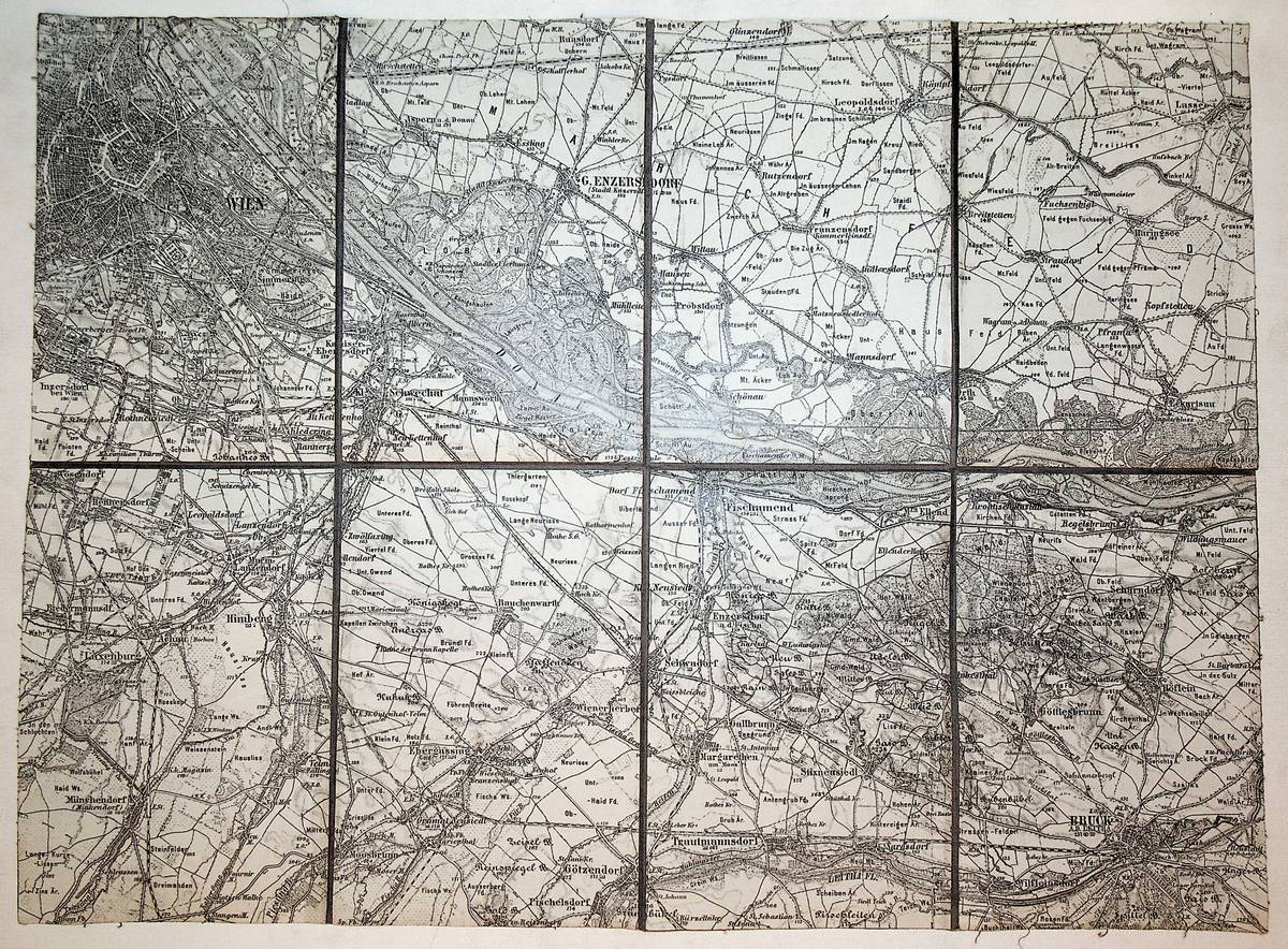
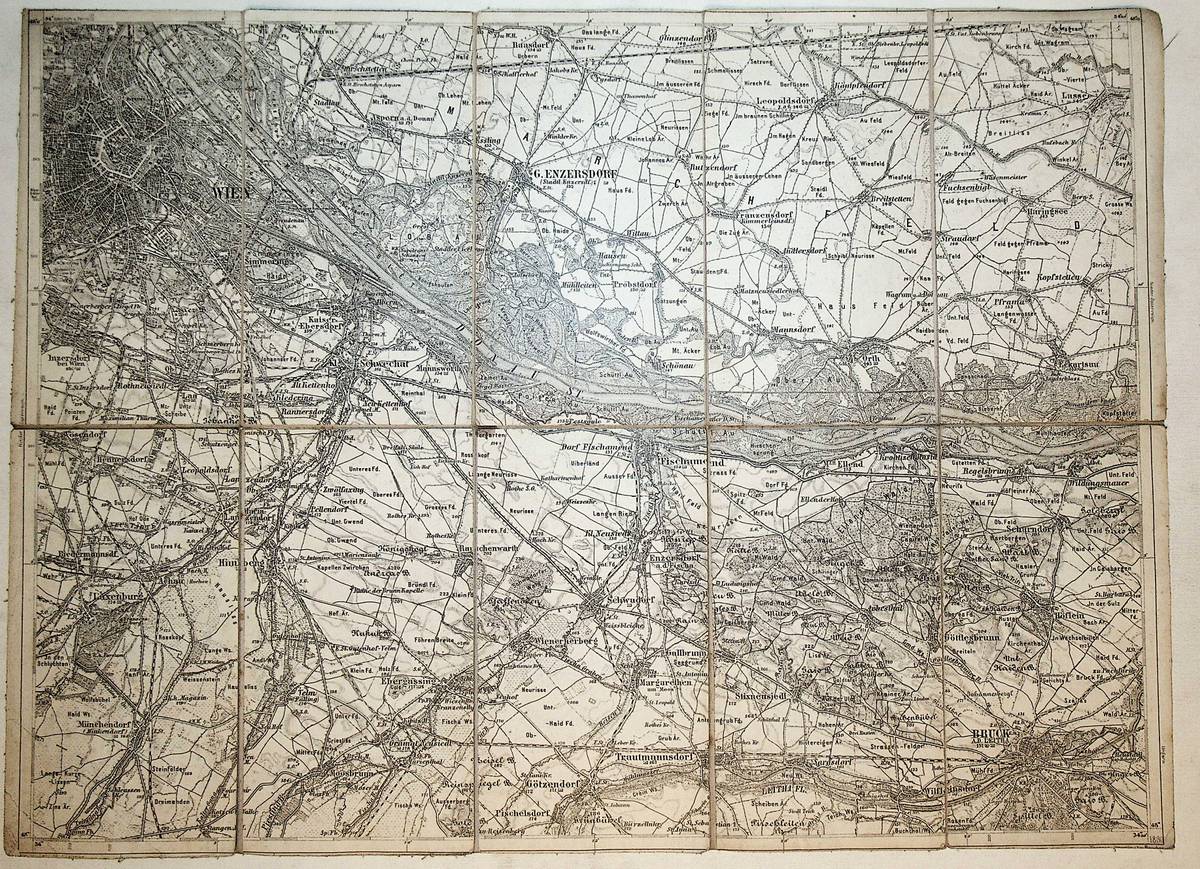
1893réf. K-2277Wien, Kaiserlich-K?nigliches Milit?r-Geographisches Institut, ca. 1893. Hochformat, ca. 38 x 55 cm, gefaltet zu 8 Segmenten, und auf Leinen aufgezogen Ausgabe: mehrf?rbig; Zustand: gut
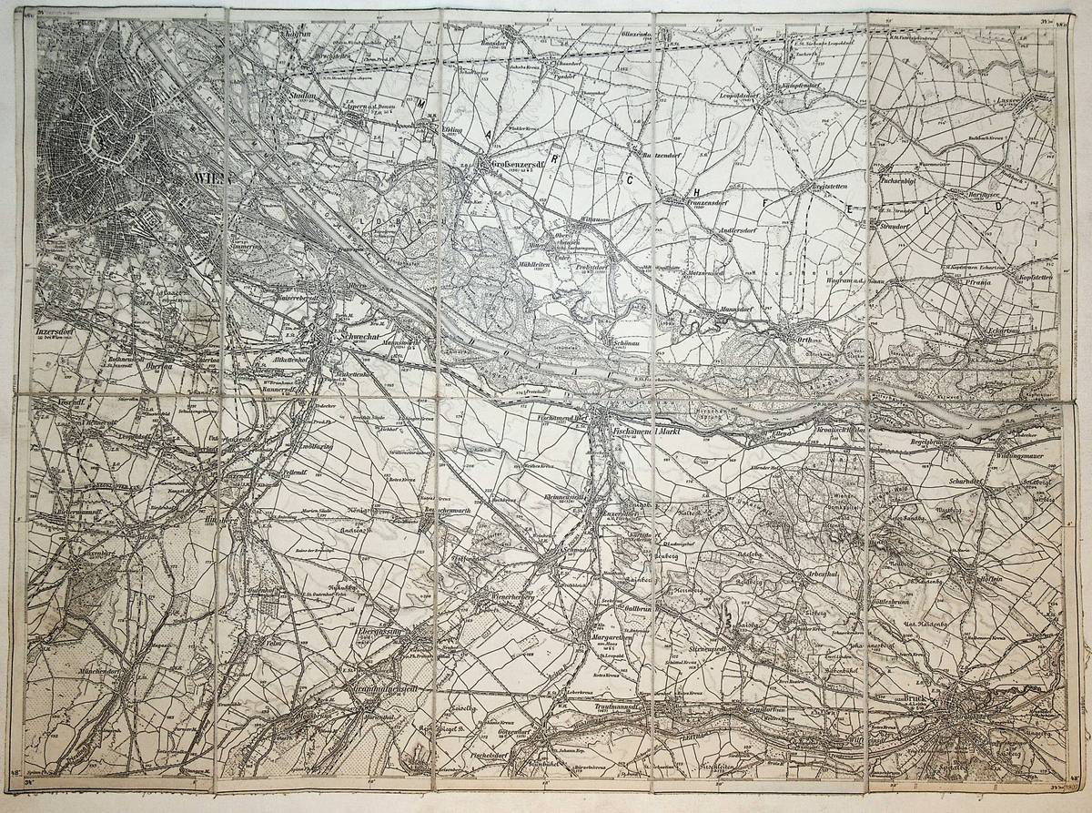
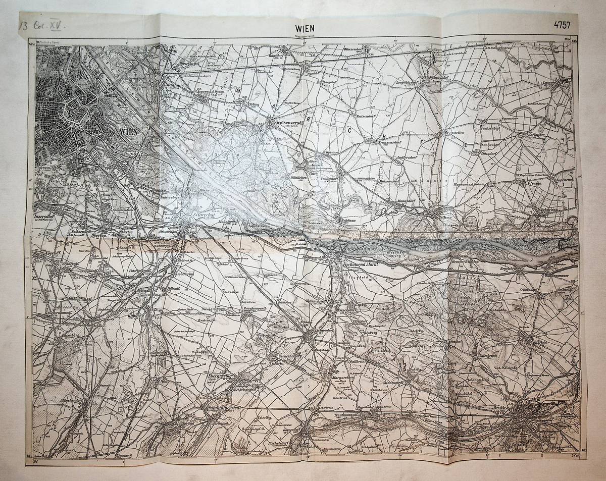
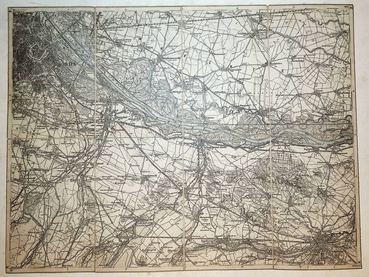
1907réf. K-1408Wien, Milit?rgeographisches Institut, 1907. Formatangabe ca 50 x 37 cm, gefaltet zu 10 Segmenten, auf Leinen aufgezogen mit aufkaschiertem Titel und Ma?stab und Legende auf je 1 Segmentr?ckseite, Ausgabe: einf?rbig ; Zustand: gut
1897réf. K-1953Wien, Kaiserlich-K?nigliches Milit?r-Geographisches Institut, ca. 1897. Formatangabe ca 50 x 37 cm, zu 8 Segmenten auf Leinen aufgezogen, Ausgabe: einf?rbig ; Zustand: gut
1880réf. K-2102Wien, Milit?rgeographisches Institut, ca. 1880. Formatangabe ca 50 x 37 cm, zu 10 Segmenten auf Leinen gezogen, Ausgabe: einf?rbig ; Zustand: gut
1880réf. K-2101Wien, Milit?rgeographisches Institut, ca. 1880. Formatangabe ca 50 x 37 cm, zu 12 Segmenten auf Leinen gezogen, Ausgabe: einf?rbig ; Zustand: gut
1915réf. K-1212Wien, Milit?rgeographisches Institut, um 1915. Formatangabe ca 50 x 37 cm, gefaltet zu 8 Segmenten, Ausgabe: einf?rbig ; Zustand: gut
1906réf. A141-1270Wien, Kaiserlich-K?nigliches Milit?r-Geographisches Institut, 1906. Hochformat, ca. 38 x 55 cm, gefaltet zu 8 Segmenten, Ausgabe: mehrf?rbig; Zustand: gut +
1909réf. K-1823Wien, Milit?rgeographisches Institut, 1909. Formatangabe ca 50 x 37 cm, gefaltet zu 8 Segmenten, auf Leinen aufgezogen mit aufkaschiertem Titel und Ma?stab und Legende auf je 1 Segmentr?ckseite, Ausgabe: einf?rbig ; Zustand: gut mit 2 Farbeinzeichnungen
réf. SONG0521036151Used: Good unknown
1910Very Good Turkish, Ottoman (1500-1928) Original color map on cloth. Oblong eephant folio. (64 x 573 cm). Toponyms in Ottoman script. [MAP of BALKANS] Filibe [Plovdiv]. A very detailed map. Shows Plovdiv and mountains, rivers around it. Extremely rare.
1893réf. K-2275Wien, Kaiserlich-K?nigliches Milit?r-Geographisches Institut, ca.1893. Hochformat, ca. 38 x 55 cm, gefaltet zu 8 Segmenten, und auf Leinen aufgezogen Ausgabe: mehrf?rbig; Zustand: gut
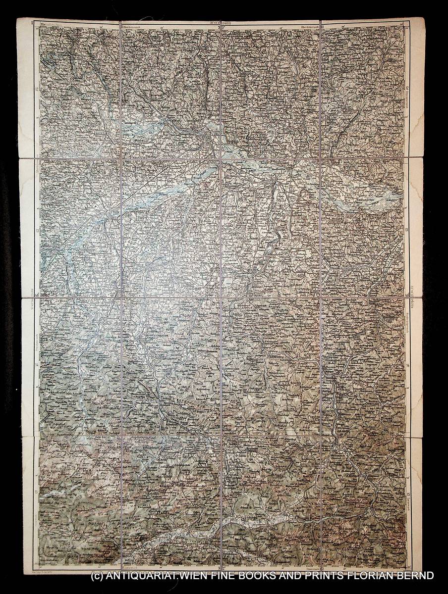
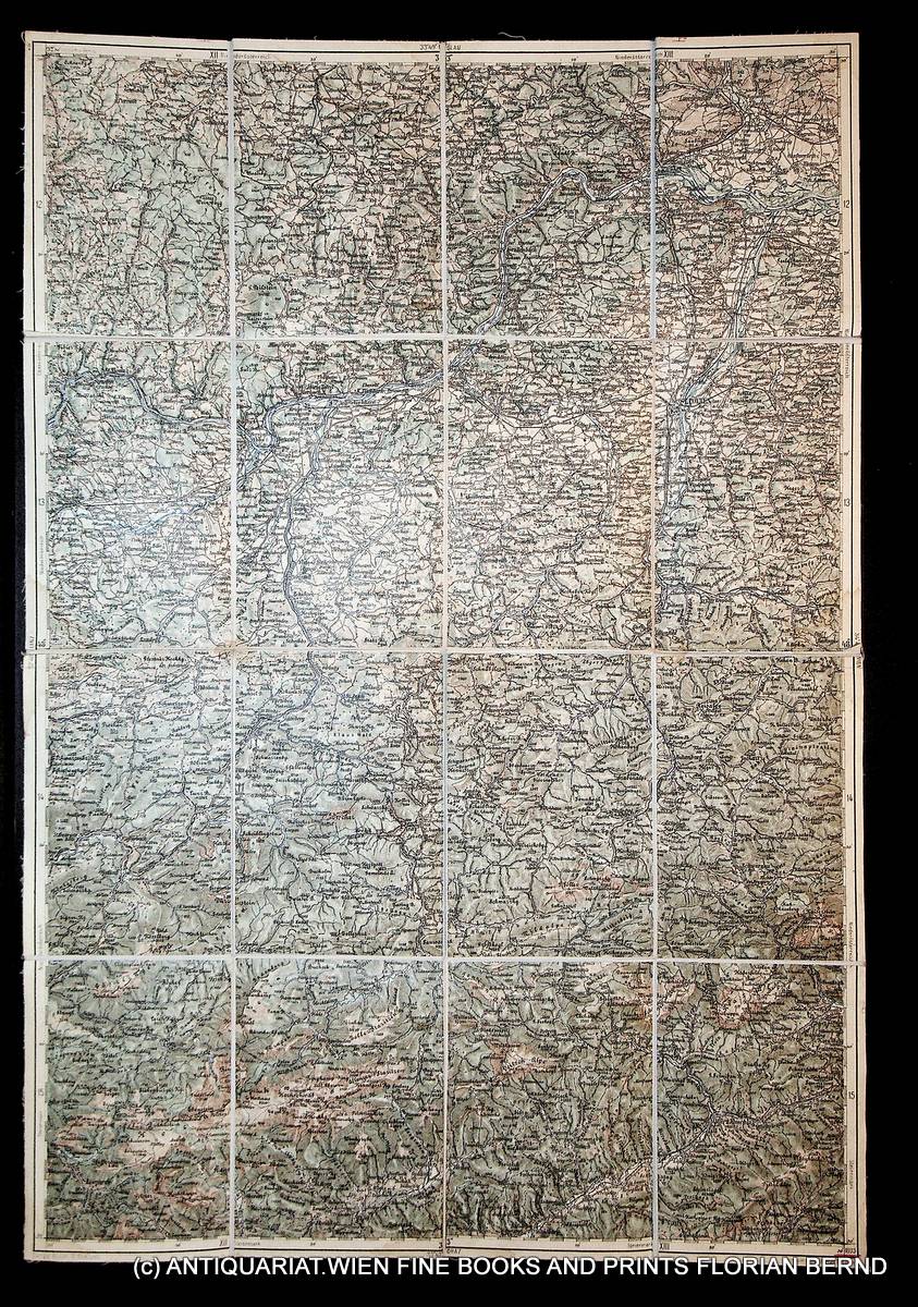
1893réf. K-2229Wien, Kaiserlich-K?nigliches Milit?r-Geographisches Institut, ca. 1893. Hochformat, ca. 38 x 55 cm, gefaltet zu 16 Segmenten, und auf Leinen aufgezogen Ausgabe: mehrf?rbig; Zustand: gut -, breiterer Rand mit Wasserflecken
1893réf. K-2231Wien, Kaiserlich-K?nigliches Milit?r-Geographisches Institut, ca.1893. Hochformat, ca. 38 x 55 cm, gefaltet zu 16 Segmenten, und auf Leinen aufgezogen Ausgabe: mehrf?rbig; Zustand: gut -, breiterer Rand mit Wasserflecken
réf. DADAX019976834XNew unknown
1971Some browning/foxing to titlepage and light foxing to endpapers. Small crack just starting to rear hinge. Minor shelfwear to book. Dustjacket has 1 small tear and rippling to back panel (moisture? ). ; Contents: Augustus and the South Slav Lands; M. Vinicius (cos. 19 BC) ; Lentulus and the Origin of Moesia; Colony of Cornelius fuscus: an Episode in the 'Bellum Neronis'; First Garrison of Trajan's Dacia; Roman Senators from Dalmatia; Lower Danube under Trajan; Campaigns of Octavian; Vassal Tribes; Dacian Wars; Governors of Dacia; Governors of Pannonia; Governors of Dalmatia; Hadrian in Moesia; Legates of Moesia; Governors of Pannonia Inferior; Pliny and the Dacian Wars. ; Bibliotheque D'Etudes Du Sud-Est Europeen; 255 pages
1982331 pages. Topics include: They Who Mine the Ground; Richfield Miner; Lee Cheung; Cass Kilkot, Consulting Miner; Incident at the Dollar a Day Cabin; Long Bar; The Love Story of the Blue Danube and Yosephine; Rafe Oswik's Mine Shaft; The Lost Blue Grouse Gold Mine; The Bear Claim Cabin; Usual library markings. Modest wear. Tight and square. A sound copy. Book
1988196 pages. Translated from the German. Graphic black and white photos. "Renders an accurate account of the genocide of the Danube Swabian people living in Yugoslavia." - Editor's comment. Clean and unmarked with light wear. Binding tight. Book
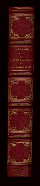
1863réf. 4614Voyage dans la Forêt-Noire, la Bavière, l’Autriche, la Bohème, la Hongrie, l’Istrie, la Vénétie, et le Tyrol. Nombreux hors texte. 1/2 chagrin rouge, dos à nerfs orné de caissons dorés, tranches dorées. bon Tours Mame 1863 1 volume in-4°
1840réf. 64193Wien, Hof- u. Staats-Aerarial-Druckerei, 1840. Fol. Titel m. Holzschn.-Wappen. 11 (1) S., Heftstreifen.
1876Very Good German Original color map on cloth. Chipped on folded places. Otherwise a clean copy. Oblong atlas folio. (46 x 52 cm). Scale: 1/300.000. Toponyms in German. Shows Saraybosna (Sarajevo), and its around, Travnik, Kladanj, G. Yakuf, Konjiva, Gorazda, Mostar et alli. A sheet of the collection of 'The general map of Central Europe'. appeared in the years between 1873-1876 with the work of Joseph Ritter von Scheda, (1815-1888) who was a general, geographer and cartographer.
1876Very Good German Original color map on cloth. Chipped on folded places. It needs repair. Oblong atlas folio. (46 x 52 cm). Toponyms in German. Shows Durach (Durazzo) and its around, Musakija at south, western shores of Albania, Elbasan, and three bays (Drin Golf etc). A sheet of the collection of 'The general map of Central Europe'. appeared in the years between 1873-1876 with the work of Joseph Ritter von Scheda, (1815-1888) who was a general, geographer and cartographer.
1876Very Good German Original color map on cloth. Chipped on folded places. Otherwise a clean copy. Oblong atlas folio. (46 x 52 cm). Toponyms in German. Shows Brood area and its around, Djakovo, Tuzla etc. A sheet of the collection of 'The general map of Central Europe'. appeared in the years between 1873-1876 with the work of Joseph Ritter von Scheda, (1815-1888) who was a general, geographer and cartographer.