Antiquariat.de
222 résultats
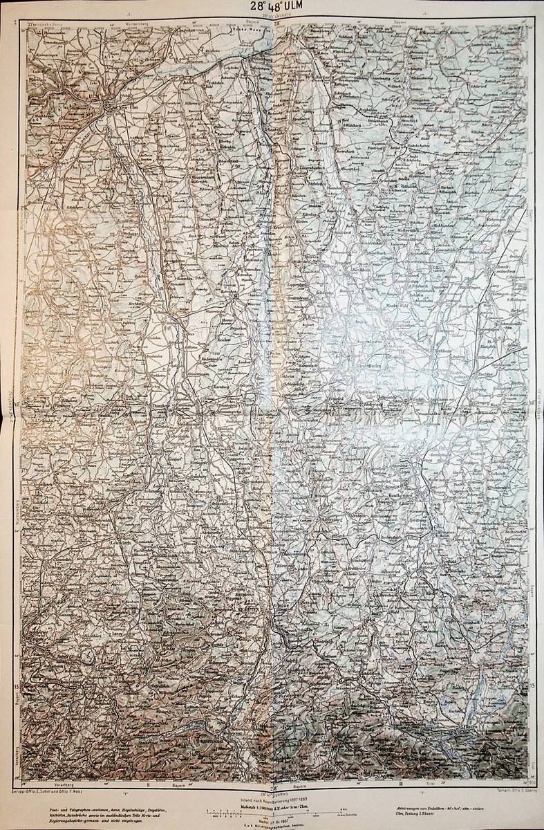
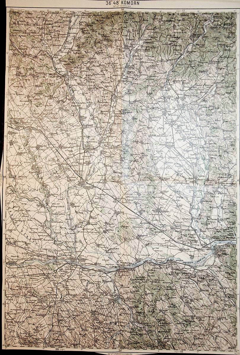
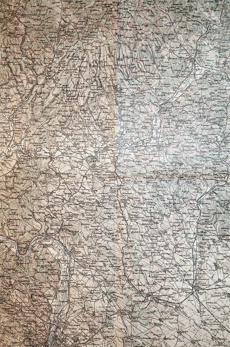
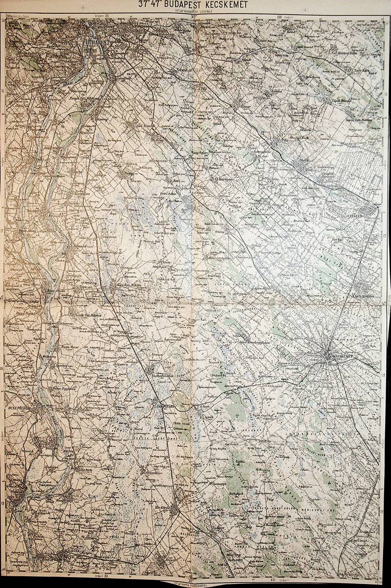
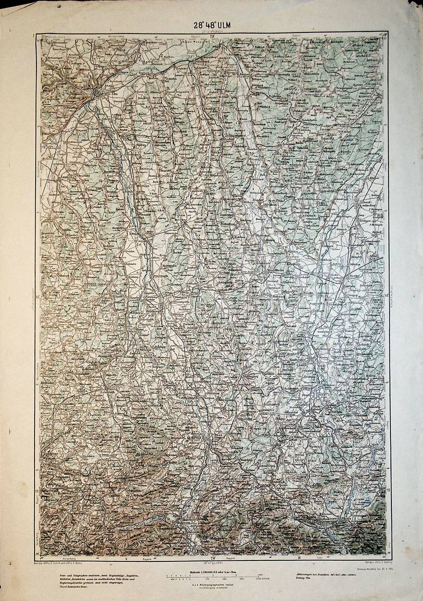
1914réf. A111-020Wien, Kaiserlich-K?nigliches Milit?r-Geographisches Institut, 1914. Hochformat, ca. 38 x 55 cm, Ausgabe: mehrf?rbig; Zustand: gut +
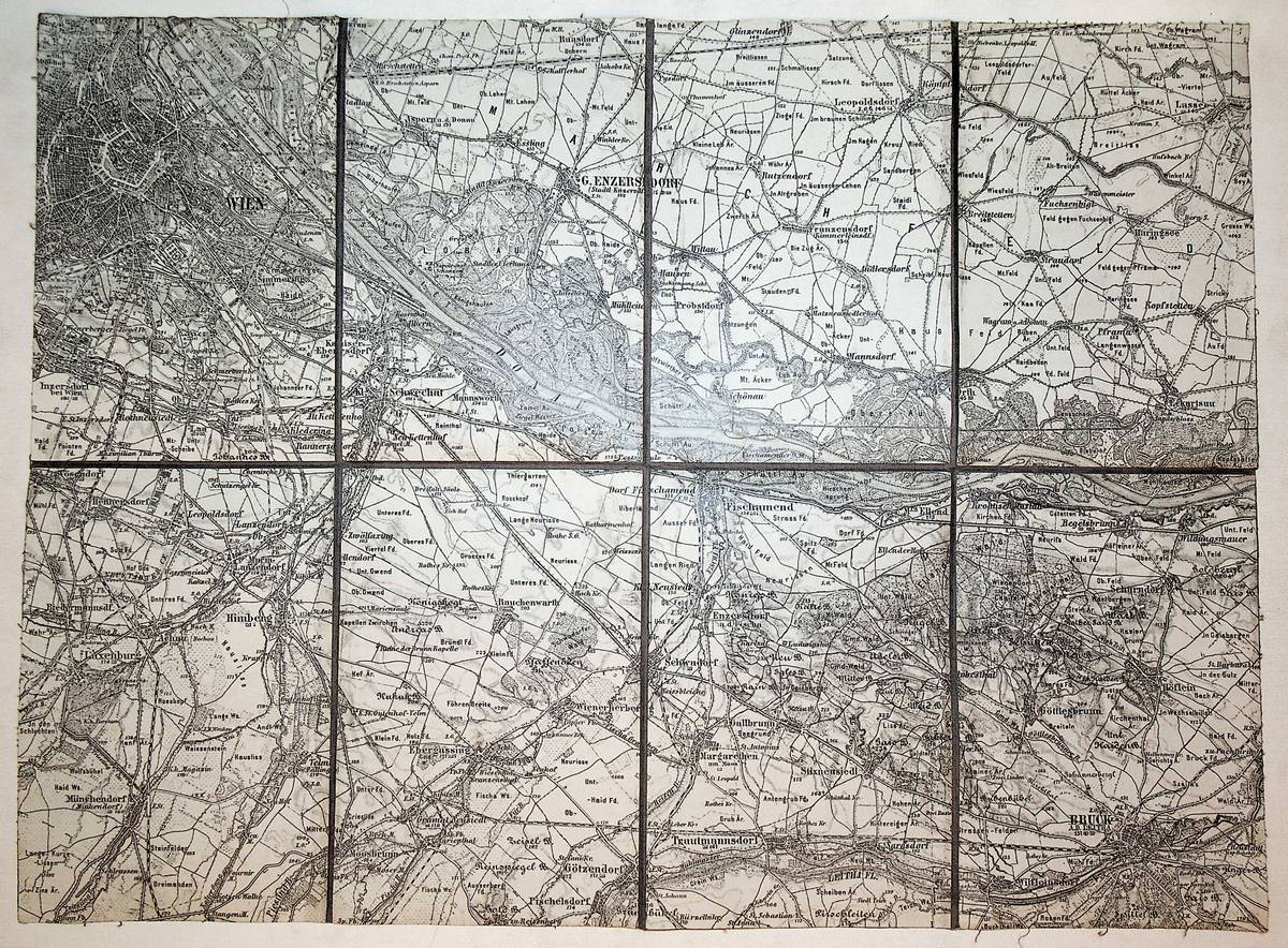
1934réf. A141-1271Wien, Kartogrophisches, fr?her Milit?rgeographisches Institut, 1934. Hochformat, ca. 38 x 55 cm, gefaltet zu 8 Segmenten, Ausgabe: mehrf?rbig; Zustand: gut +
1906réf. A141-1270Wien, Kaiserlich-K?nigliches Milit?r-Geographisches Institut, 1906. Hochformat, ca. 38 x 55 cm, gefaltet zu 8 Segmenten, Ausgabe: mehrf?rbig; Zustand: gut +
1897réf. K-1953Wien, Kaiserlich-K?nigliches Milit?r-Geographisches Institut, ca. 1897. Formatangabe ca 50 x 37 cm, zu 8 Segmenten auf Leinen aufgezogen, Ausgabe: einf?rbig ; Zustand: gut
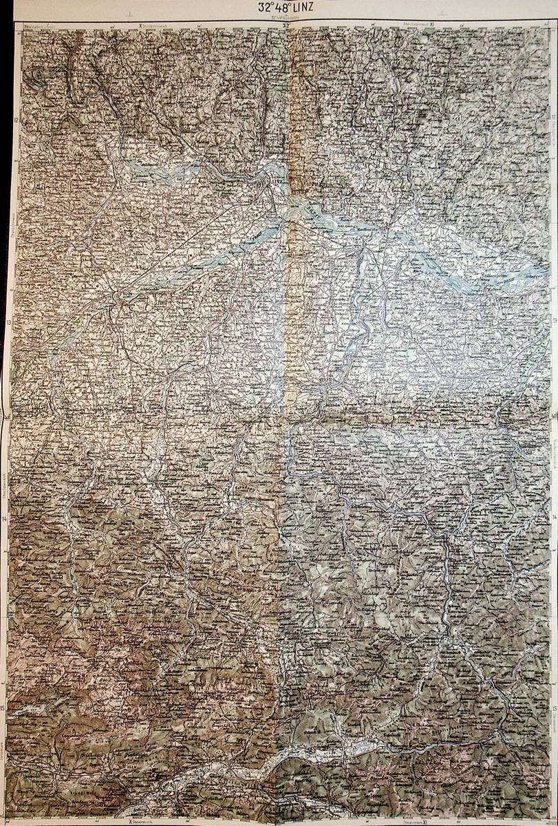
1893réf. A141-1267Wien, Kaiserlich-K?nigliches Milit?r-Geographisches Institut, ca. 1893. Hochformat, ca. 38 x 55 cm, gefaltet zu 8 Segmenten, Ausgabe: mehrf?rbig; Zustand: gut +
1893réf. A141-1266Wien, Kaiserlich-K?nigliches Milit?r-Geographisches Institut, ca.1893. Hochformat, ca. 38 x 55 cm, gefaltet zu 8 Segmenten, Ausgabe: mehrf?rbig; Zustand: ein kleines Loch an einer Falzecke, sonst gut +
1889réf. A141-1265Wien, Kaiserlich-K?nigliches Milit?r-Geographisches Institut, 1889. Hochformat, ca. 38 x 55 cm, gefaltet zu 8 Segmenten, Ausgabe: mehrf?rbig; Zustand: gut +
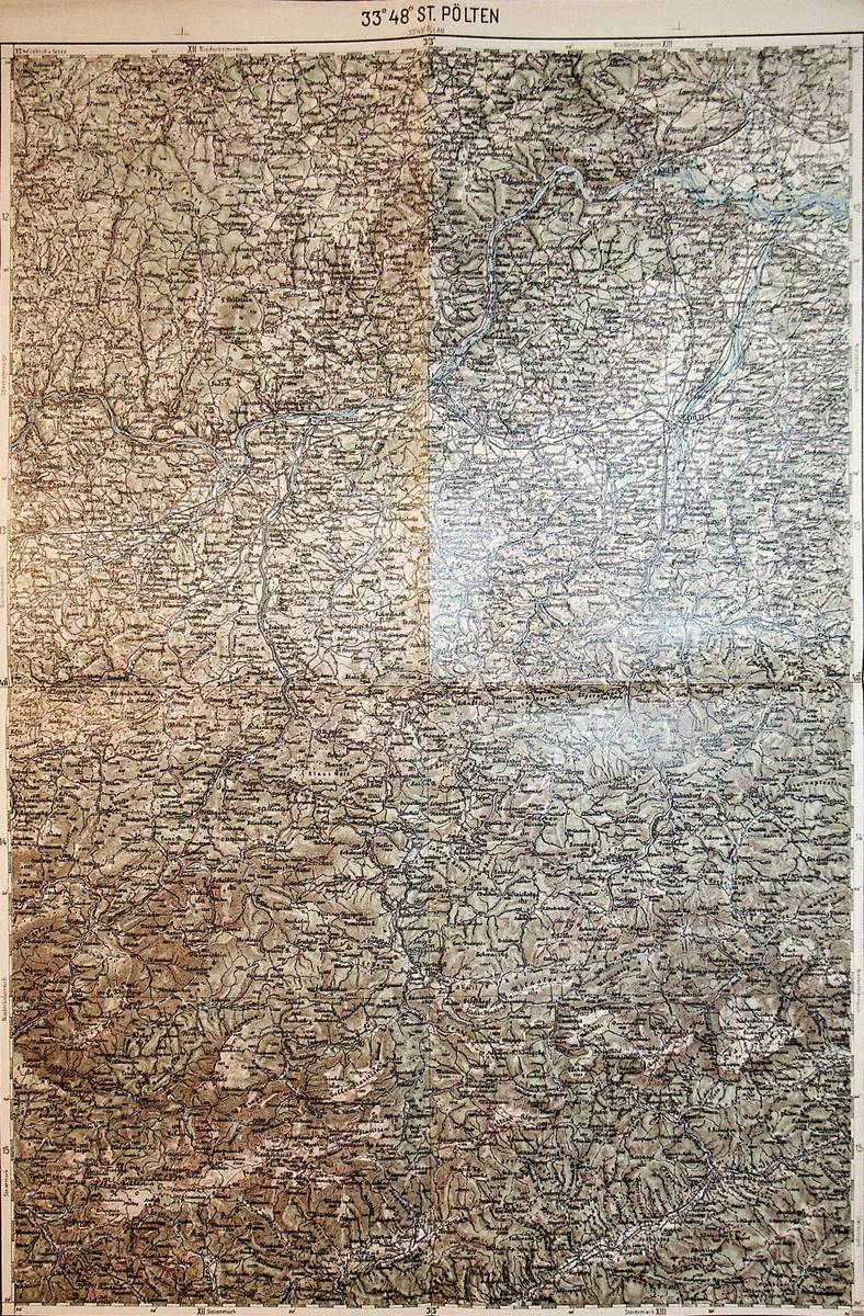
1900réf. A141-1264Wien, Kaiserlich-K?nigliches Milit?r-Geographisches Institut, [ca. 1900]. Hochformat, ca. 38 x 55 cm, gefaltet zu 8 Segmenten, Ausgabe: mehrf?rbig; Zustand: Blatt bis auf Kartenrand beschnitten, gut +
1891réf. A141-1181Wien, Kaiserlich-K?nigliches Milit?r-Geographisches Institut, [1891?]. Hochformat, ca. 38 x 55 cm, gefaltet zu 8 Segmenten, Ausgabe: mehrf?rbig; Zustand: gut +
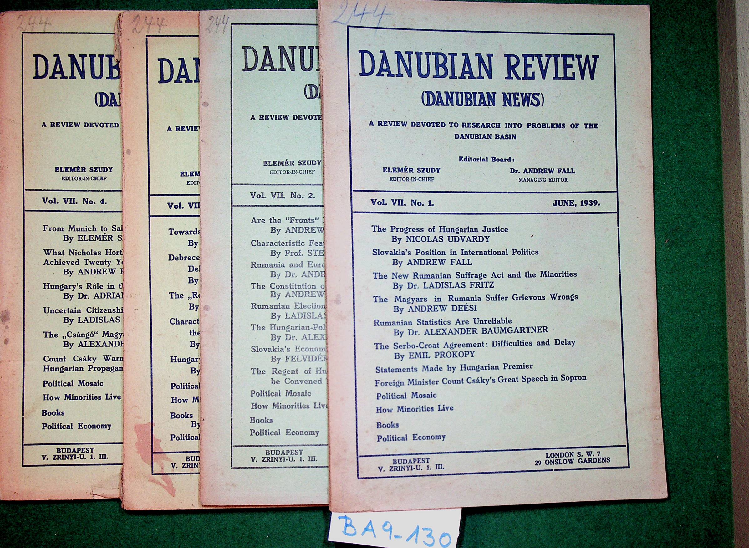
1939réf. BA9-130Budapest, [Hungarian Frontier Readjustment League, etc.], 1939. original Broschur, 8?, 64/64/64/64 pages, a good copy
2001réf. 145448Herausgeber: Stadt Lauingen (Donau) 2001. 213 Seiten. Mit zahlreichen teils farbigen u. teils faks. Abbildungen. Farbig illustrierte Okart.-Einband. Querformat 22x30 cm
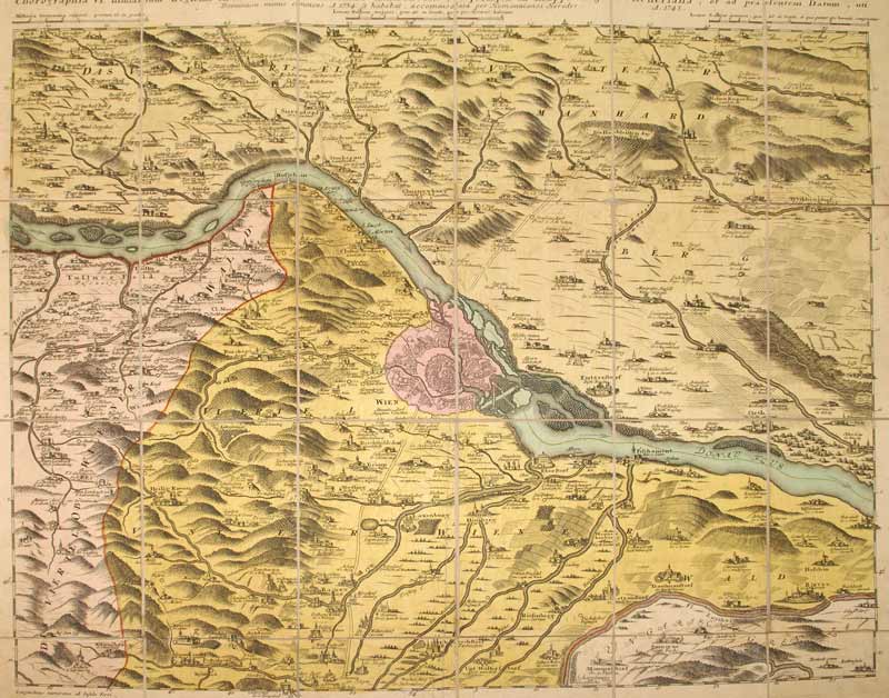
1748réf. KART0099Nürnberg, Homanns Erben 1748. altkol. Kupferstichplan nach Nikolaus Visscher (1649-1702), Gesamtmaß: 60,5x 50,6 cm, Ansicht: 56,5x46,5 cm, in 24 Teilstücke zerschnitten u. auf Leinwand aufgezog., kartenmäßig gefalt., zwei kl. Stockfl. im ersten Segment, an den Schnittstellen tlw. etw. Die Donau von Klein Schöhnbühel bis Petronell mit Grundriss von Wien (im Zentrum der Karte), Ortschaften in Vogelschau, Berge bewaldet u. dunkler hervorgehoben.
1838réf. REIS0270aHildburghausen, Bibliograph. Institut (1838). quer 27,5x19,6 cm, Titel m. gestoch. Stahlstich (Prater), Index f. 2 Bände, 60 Stahlstichtaf. m. Seidenhemdchen u. Lieferungsbll., HLdr. d. Zt. m. gldgepr. Rückentit., berieb., Knickspuren am Einband, Ecken bestoß., RüKanten etw. rissig, marmor. Schnitt verstaubt, Tafeln vereinzelt stockig.
1990réf. REIS0485Graz, Adeva (1990). Quer-4°. 20 S. (Titelei u. Einführung), 128 S. (Faks. v. Bd.1) u. 136 S. (Faks. v. Bd.2). Mit zus. 100 Ansichten auf Taf. Roter OLederbd. m. goldgepr. Rü.- u. Deckeltitel. Tadelloses Exemplar. Nummer LXXIX von 100 handschr. num. Exemplaren der VA in Leder (Gesamtauflage 1080 Ex.). - Hübscher Faksimileband der 1838-39 im Bibliograph. Inst. v. Joseph Meyer erschienenen 'Donau-Reise' des deutschen Bibliothekars, Dichters und Schriftstellers Ludwig Bechstein (1801-1860). B. unternahm die Reise von Donaueschingen entlang und auf der Donau bis ins schwarze Meer und dann weiter nach Konstantinopel und Athen. Den Stahlstich-Ansichten liegen zeichnerische Vorlagen u.a. von Jakob Alt und Ludwig Erminy zugrunde.
réf. MARI0856Wien, Selbstvlg. kl.-8°, 196 S., mit 1 Karte, OHLn., berieb., etw. bestoß., Vorsatzfalze rissig, papierbed. gebräunt.
1997réf. REIS0207(Weitra, Bibliothek der Provinz 1997). 29x31 cm, 190 S., mit zahlr., tls farb. Abb., OLn. m. farb. ill. OU., nur an diesem geringe Gebrauchsspuren, sonst fast wie neu.
In 8 gr., doppio front. (a stampa e inciso), p. VIII - 244, con 100 tav. f.t. incise e numerose ill. n.t., ottima leg. coeva in mz. pl. con tass. al dorso e carta impressa (lieve mancanza al piatto ant.); tagli colorati. Ediz. orig.
London, Richard Bentley, 1836, in-8 piccolo, cartonatura editoriale con titolo a stampa su tassello di carta al dorso (dorso che tuttavia è in gran parte mancante), pp. XVI, [1], 344. Con 10 tavole f.t. in litografia (9 vedute, antiporta compresa e una cartina del viaggio). Fra le sguardie anteriori è legato un catalogo editoriale di 12 pagine.
24 cm, rilegatura cartonata illustrata a colori, p. 190. Con 75 tavole in nero f.t. Testo in tedesco. Saggio monografico sulle rappresentazioni di carri e calessi sulle tombe pannoniche.
In-8° gr. pp. VI-2-791 con 200 inc. di cui 25 sono tav. f.t. oltre alla carta del danubio divisa in 9 parti ripiegate f.t. Legatura in mezza pelle tipo ottocentesco con nervature e titolo al dorso. Conservata la bross. edit. illustrata.
This is a very good hardcover copy in a very good dust jacket of the first Greek edition. Completely clean inside and out. Dust jacket lightly toned. Text completely in Greek. This is the first Greek edition of Focas' work: 'The Lower Danube River in the southeastern European political and economic complex from antiquity' to the Conference of Belgrade of 1948, published in English in 1987. 30 black & white photographic plates. 10" high X 7" wide, 478 pages. Printed in Greece by Stavros Georgiadis, for the Institute for Balkan Studies, Serial No 144 Thessaloniki, October 1975. This book will be securely wrapped and packed in a sturdy box and shipped with tracking.
In 8, pp. 14 + (2b). Br. rifatta. Pubblicazione della canzone 'Il Danubio' dedicata alla vittoria conseguita da Leopoldo I contro i Turchi. La Guerra austro-turca duro' dal 1683 al 1699. Dopo la vittoriosa seconda battaglia di Mohács del 1687, l'obiettivo dell'esercito austro ungarico divenne Belgrado, la citta' fortificata alla confluenza della Sava con il Danubio, che era occupata dai turchi fin dal 1521. L'assedio ebbe inizio nell'agosto del 1688; la citta' fu presa dopo che entrambe le parti avevano subito enormi perdite.
In 4, pp. 10 + (2b). Mancanza del lembo est. sup. del p. ant. Taglietto al marg. est. delle cc. Br. ed. Presentazione all'Accademia dei Lincei della Relazione di una commissione composta da ingegneri stranieri chiamati dal governo ungherese per esaminare gli studi di regolazione della Tisza e del Danubio e per proporre le opere di difesa della citta' di Szeghedino quasi interamente distrutta dall'inondazione del marzo 1879.
In 8, pp. 120. Lieve mancanza all'ang. inf. est. del p. ant. e del fr. Qualche mancanza al d. Carte brunite. Br. ed.
In 4, pp. 14 con ill. n.t. Br. ed.